Within 60 km of Bressanone, Trentino-South Tyrol, Italy · 40 trails
Trails near Bressanone, as prints.
The country around Bressanone has 40 trails with full pages in our collection, 160 miles of trail in all, Rundweg Peitlerkofel and Sas Rigais among them. The longest is Dolomites Geotrail at 13.5 miles, also the biggest climb at 6,431 ft of gain. 30 are under 5 miles, so there is a short day here too. Each one is a custom topographic print drawn from the route's real elevation data, every switchback and every foot of climb, made to order. Every print from $39, free US shipping.
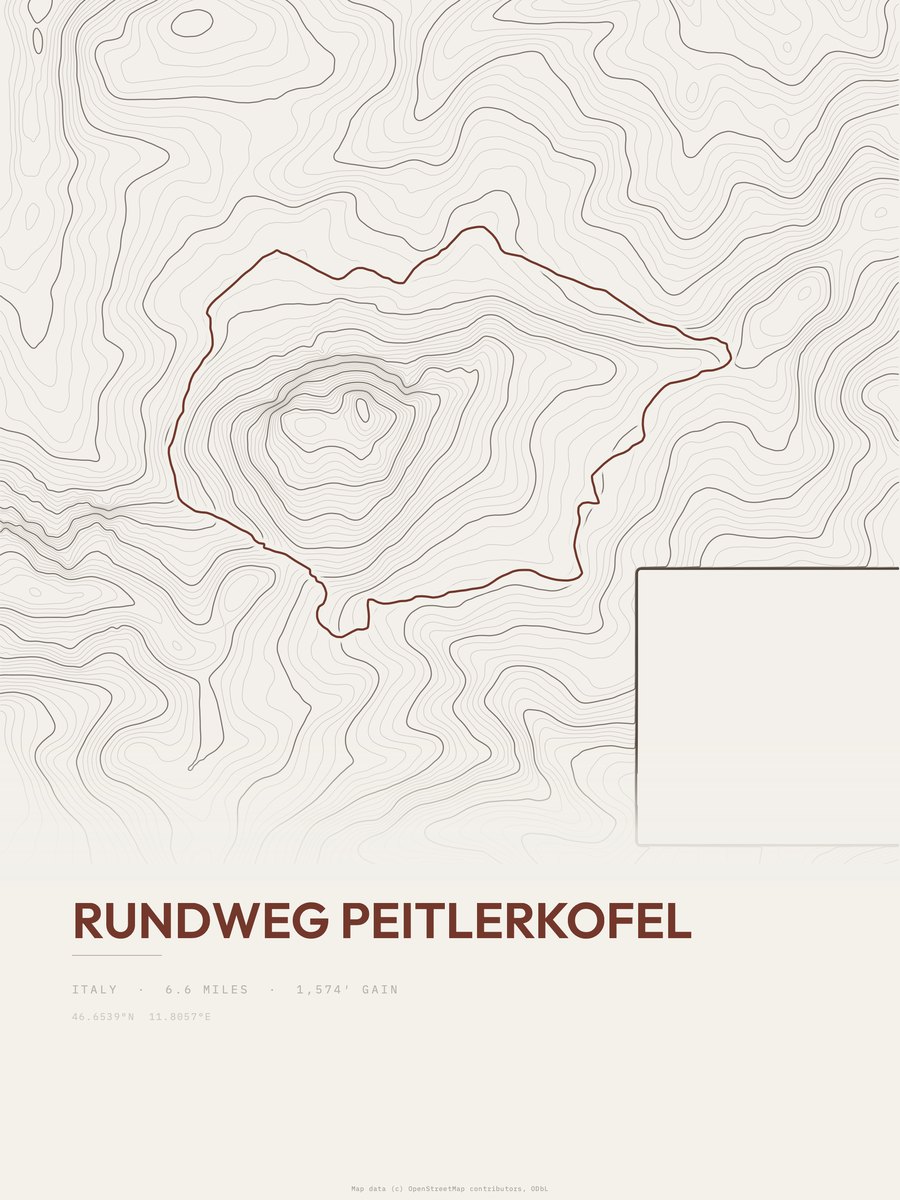
Rundweg Peitlerkofel
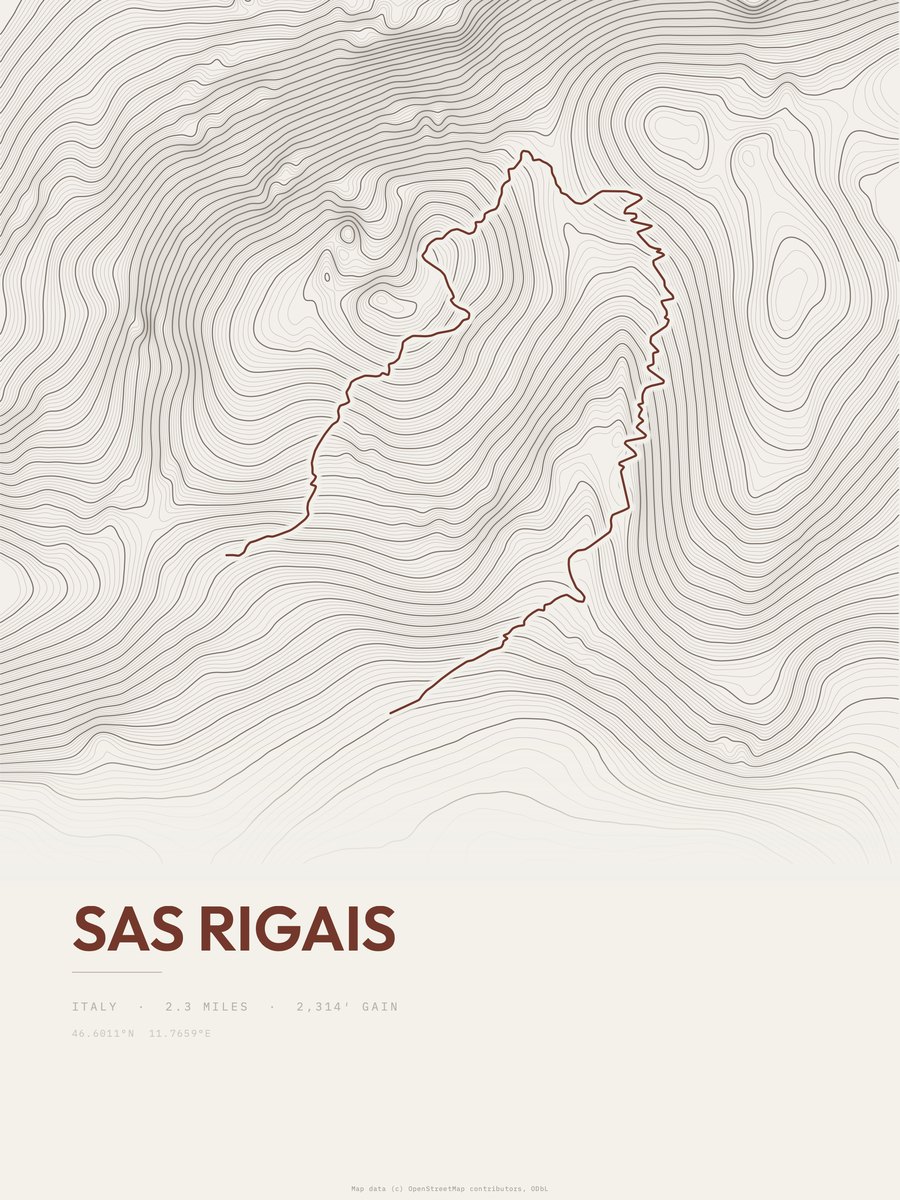
Sas Rigais

Dolomites Geotrail
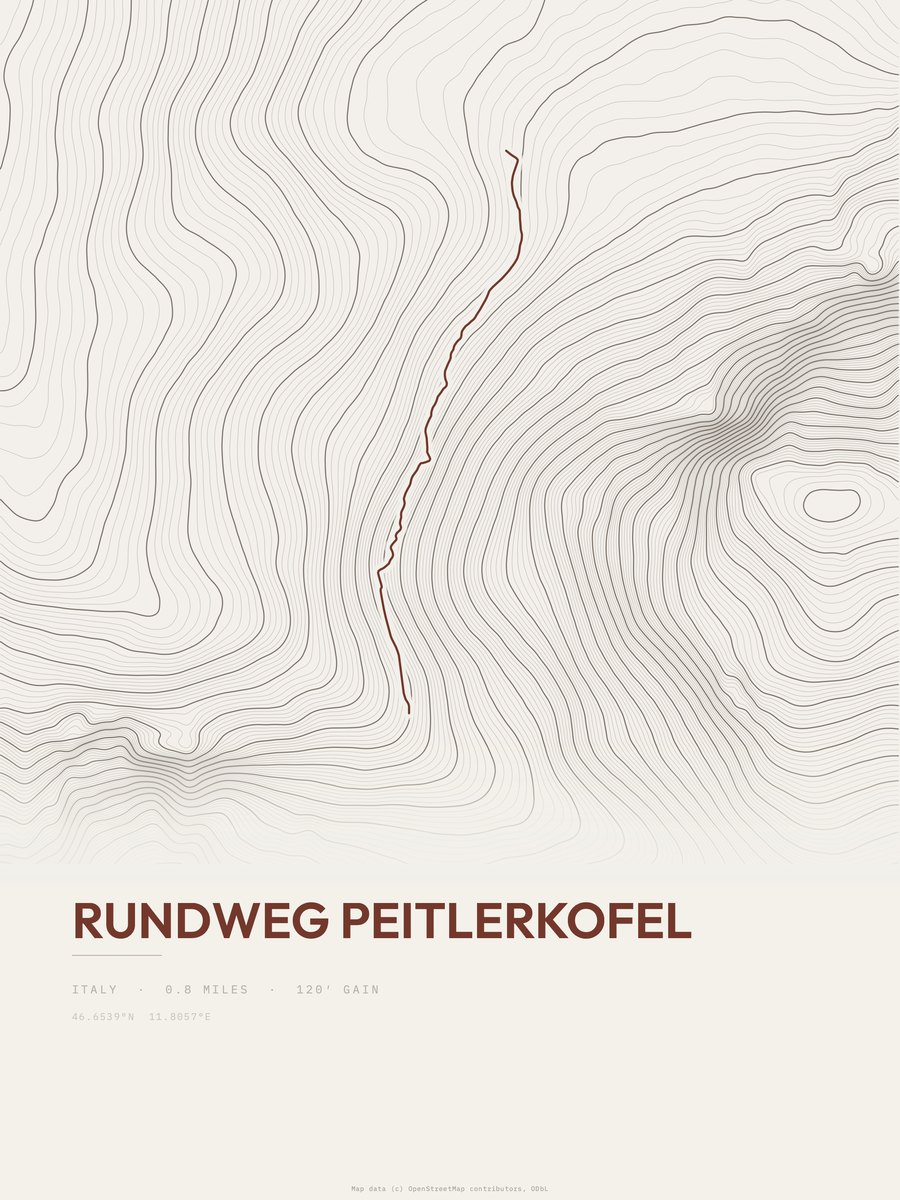
Rundweg Peitlerkofel
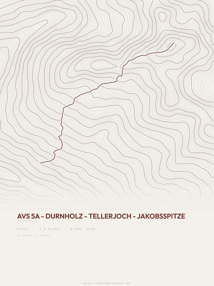
Durnholz to Jakobsspitze
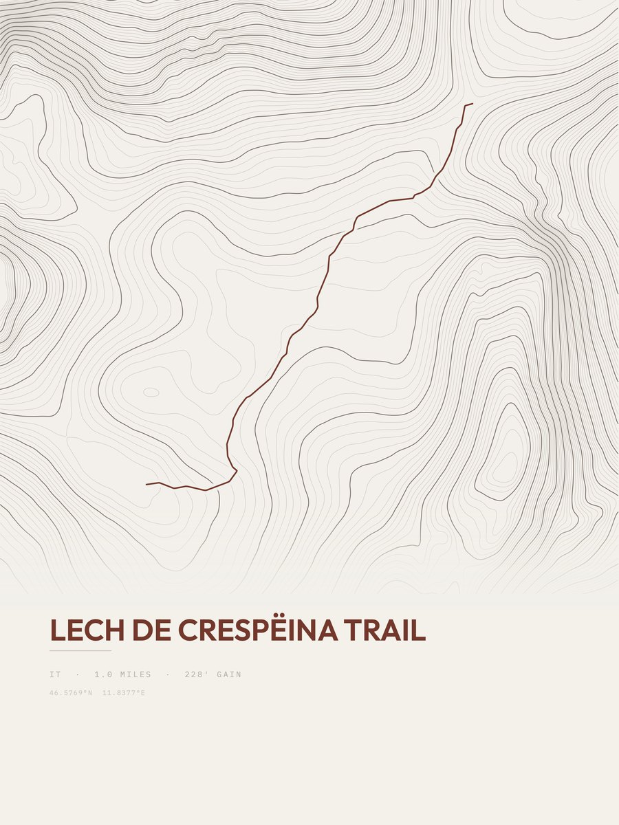
Lech de Crespëina Trail
Trentino-Alto Adige
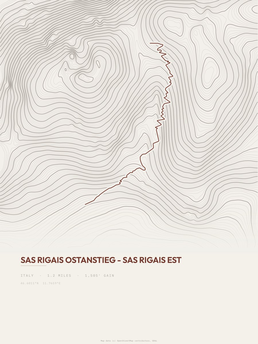
Sas Rigais Est

Rifugio Genova
Trentino-Alto Adige

Strada val'Anna
Trentino-Alto Adige
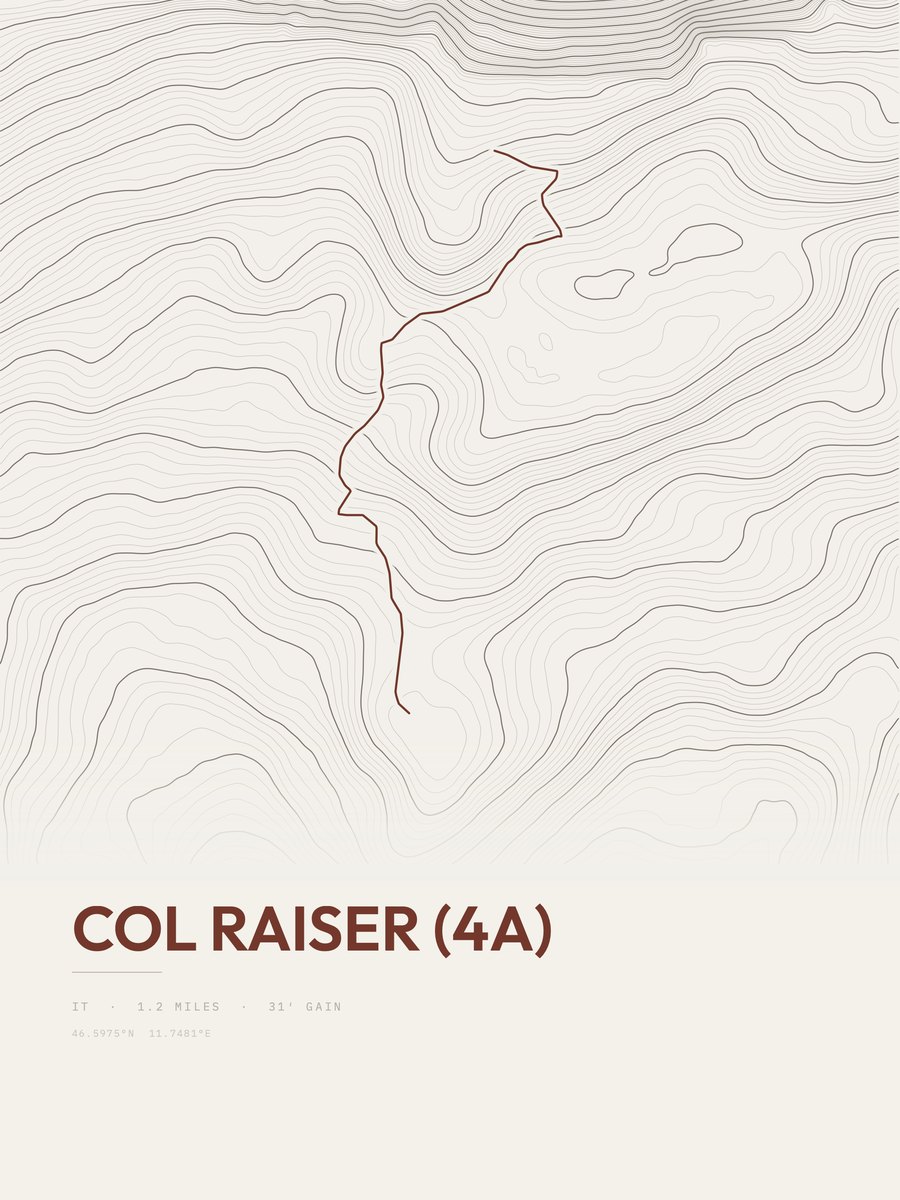
Col Raiser
Trentino-Alto Adige
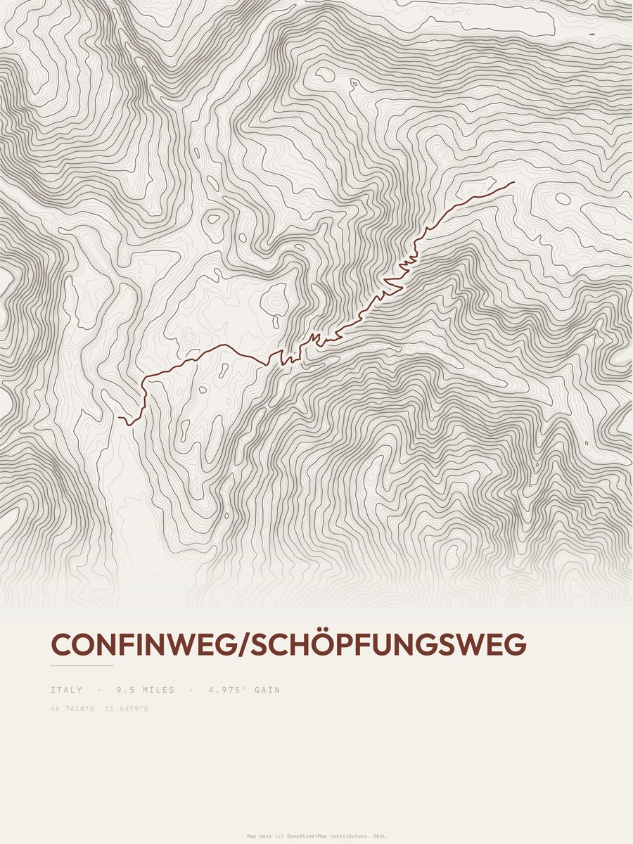
Confinweg / Schöpfungsweg
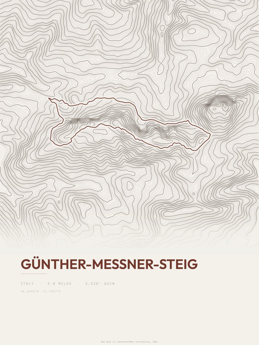
Günther-Messner-Steig

Erzweg
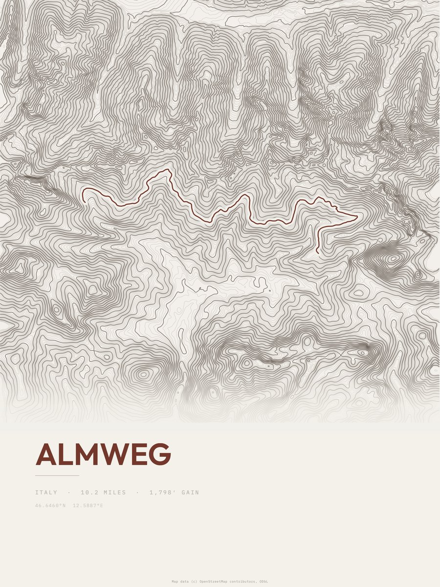
Almweg

Cammino di San Giacomo
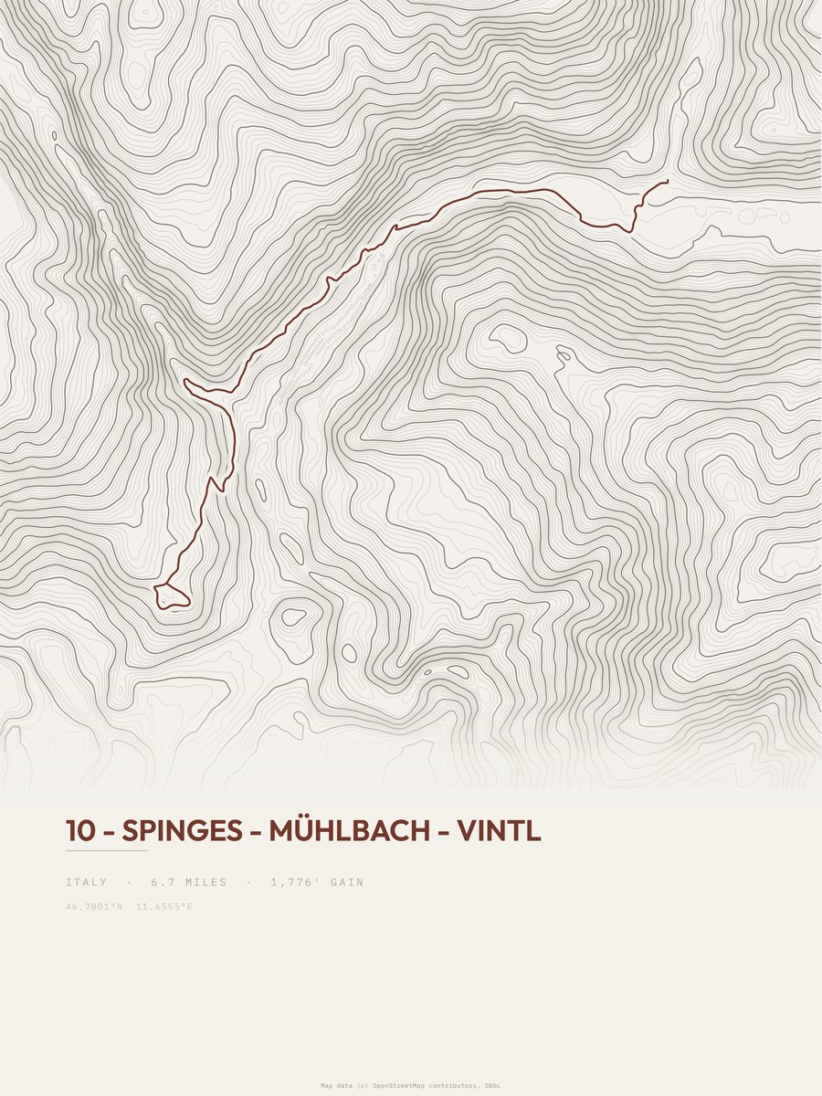
Spinges to Vintl
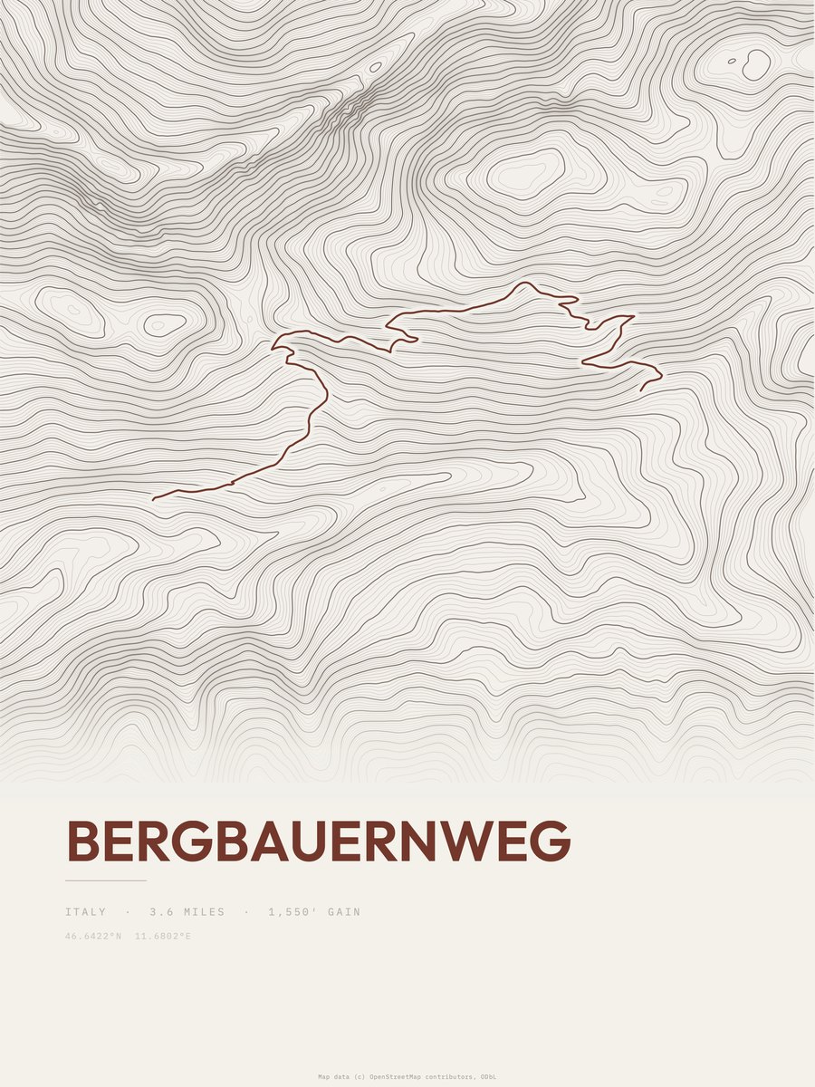
Bergbauernweg
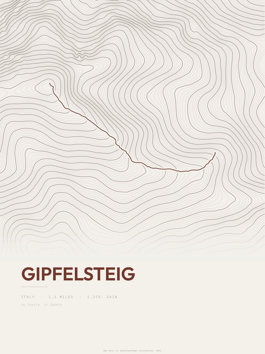
Gipfelsteig

Talweg
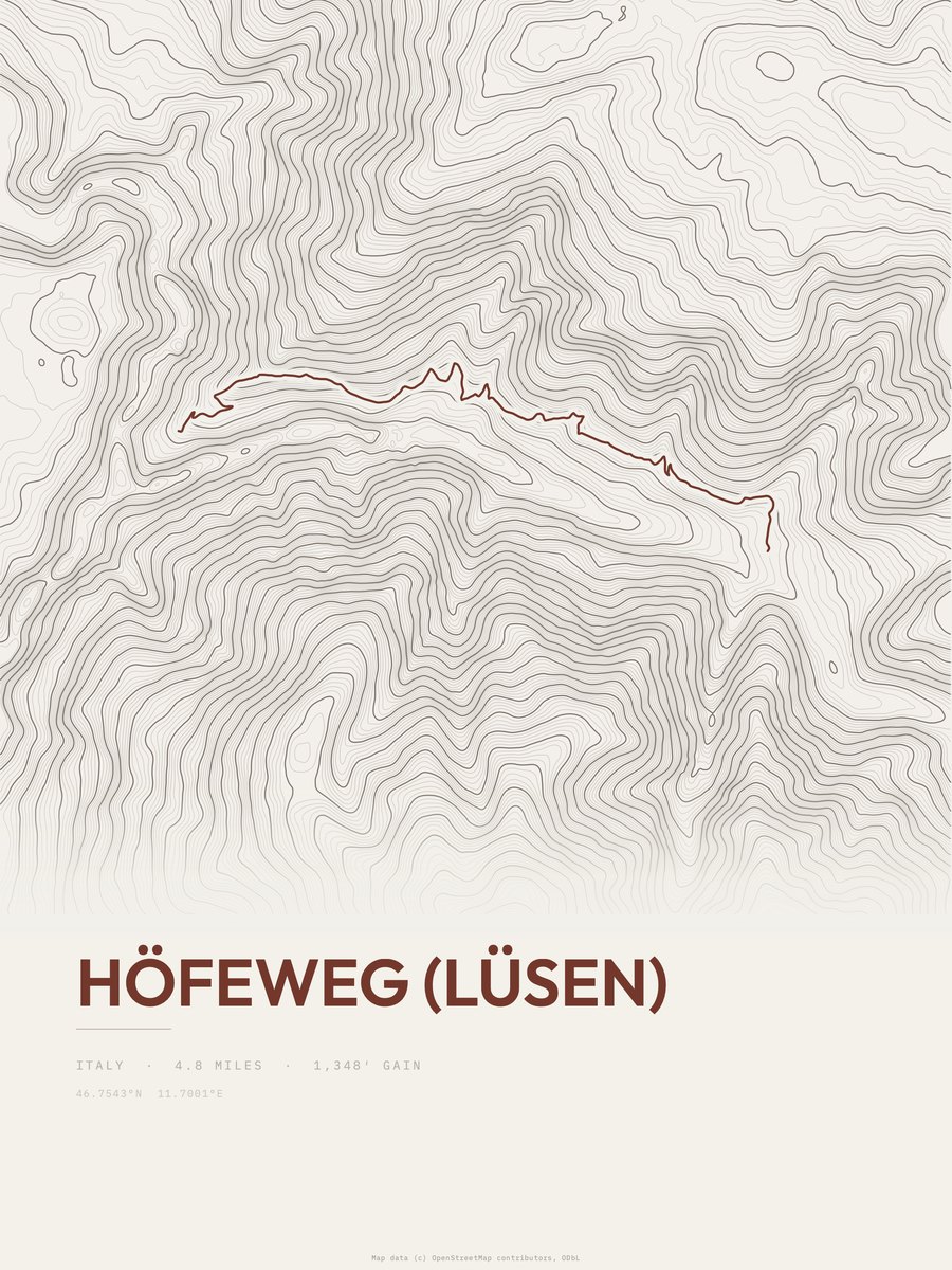
Höfeweg (Lüsen)
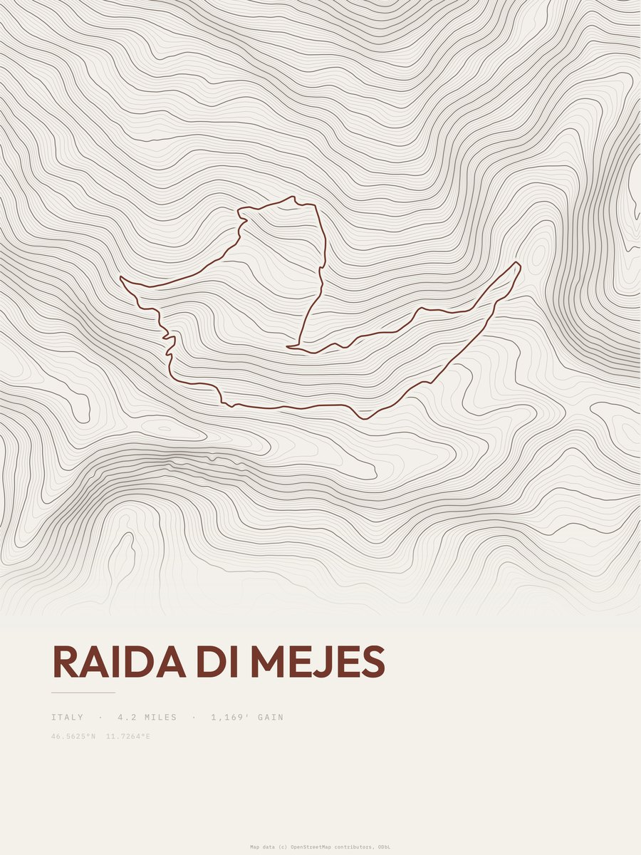
Raida di Mejes
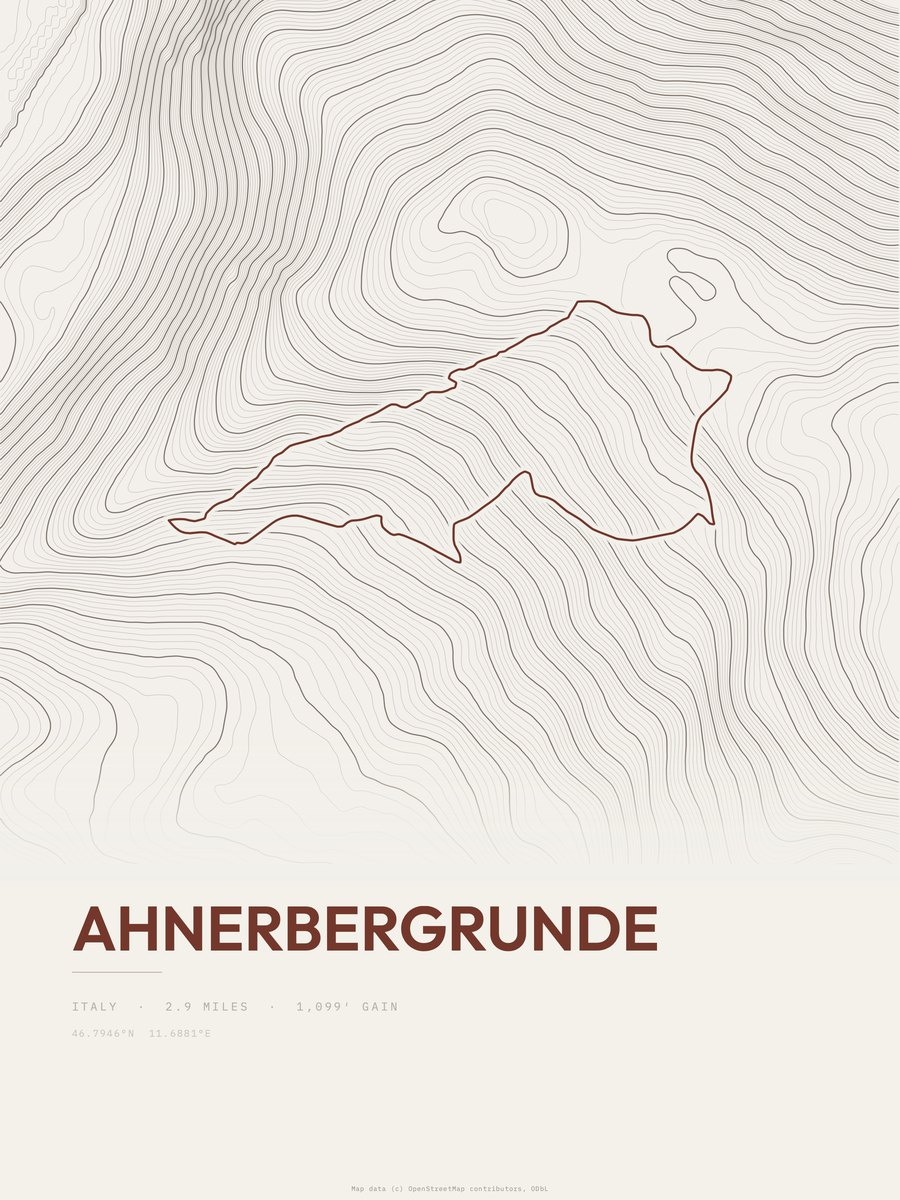
Ahnerbergrunde
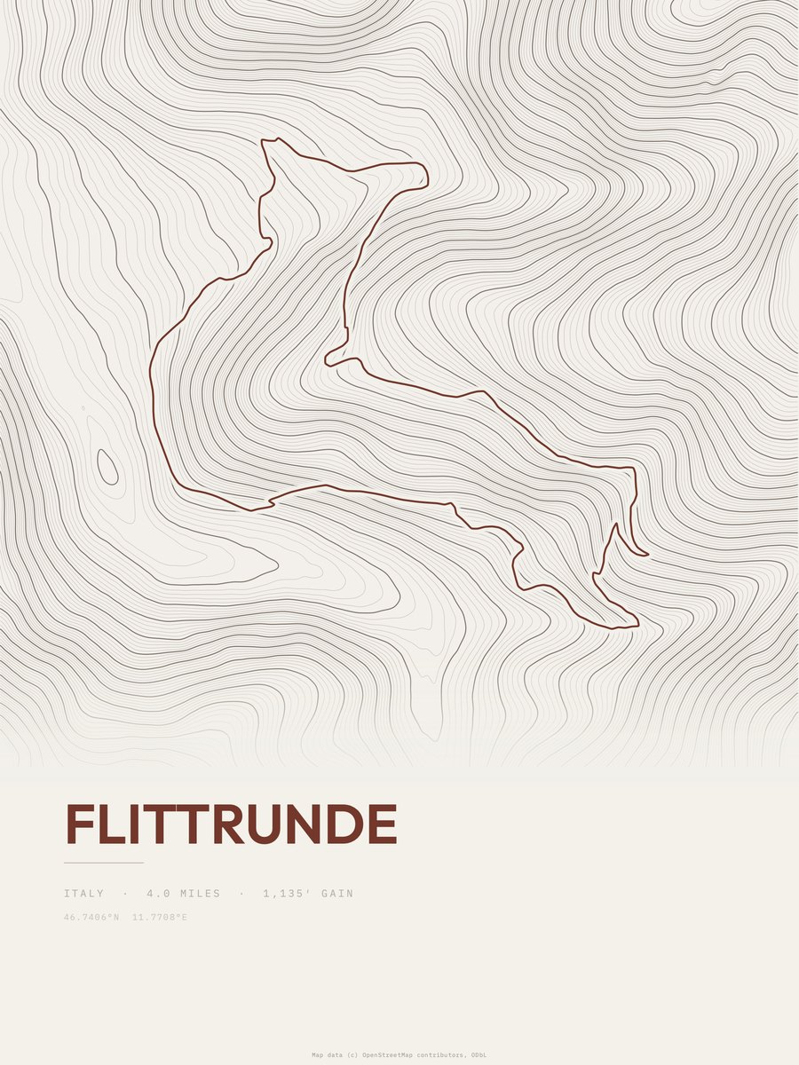
Flittrunde
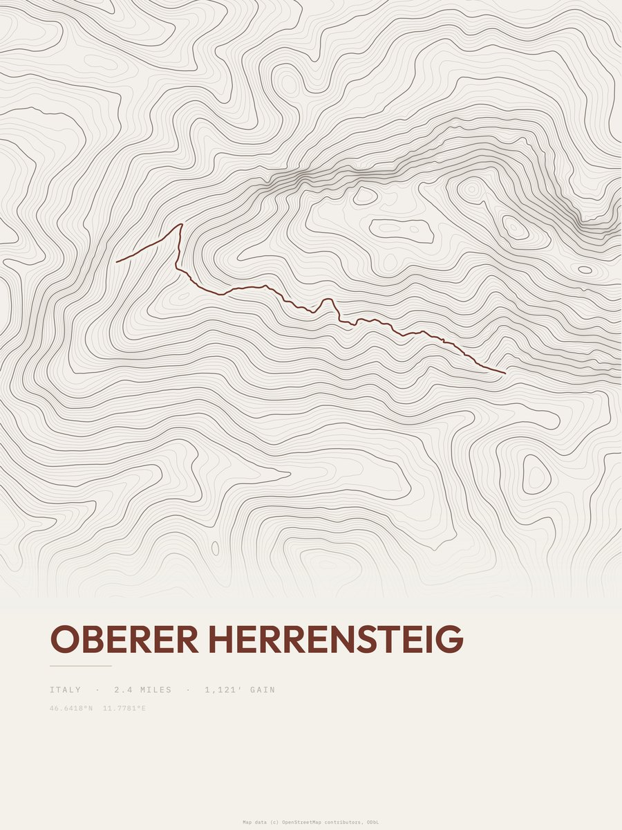
Oberer Herrensteig
- Pinazweg5.4 mi
- Mühlenweg1.1 mi
- Sunnseitenweg3 mi
- Seniorenweg2.4 mi
- Kranterrunde3.1 mi
- Dörferrunde7.4 mi
- Bienenweg3.9 mi
- Dörferrunde4 mi
- Legendenweg1.6 mi
- Planetenweg2.7 mi
- St.-Andrä-Rundweg3.9 mi
- Troi di Tuei1.2 mi
- Törggeleweg3.9 mi
- Wasserfallweg1 mi
- Brixener Höhenweg3.4 mi
- Sas Rigais Sud-Ovest0.7 mi