Within 37 mi of Saratoga, California · 7 trails
Trails near Saratoga, as prints.
The country around Saratoga has 7 trails with full pages in our collection, 60 miles of trail in all, Castle Rock Loop and Skyline to the Sea Trail among them. The longest is Skyline to the Sea Trail at 25.4 miles, also the biggest climb at 4,515 ft of gain. 2 are under 5 miles, so there is a short day here too. Each one is a custom topographic print drawn from the route's real elevation data, every switchback and every foot of climb, made to order. Every print from $39, free US shipping.
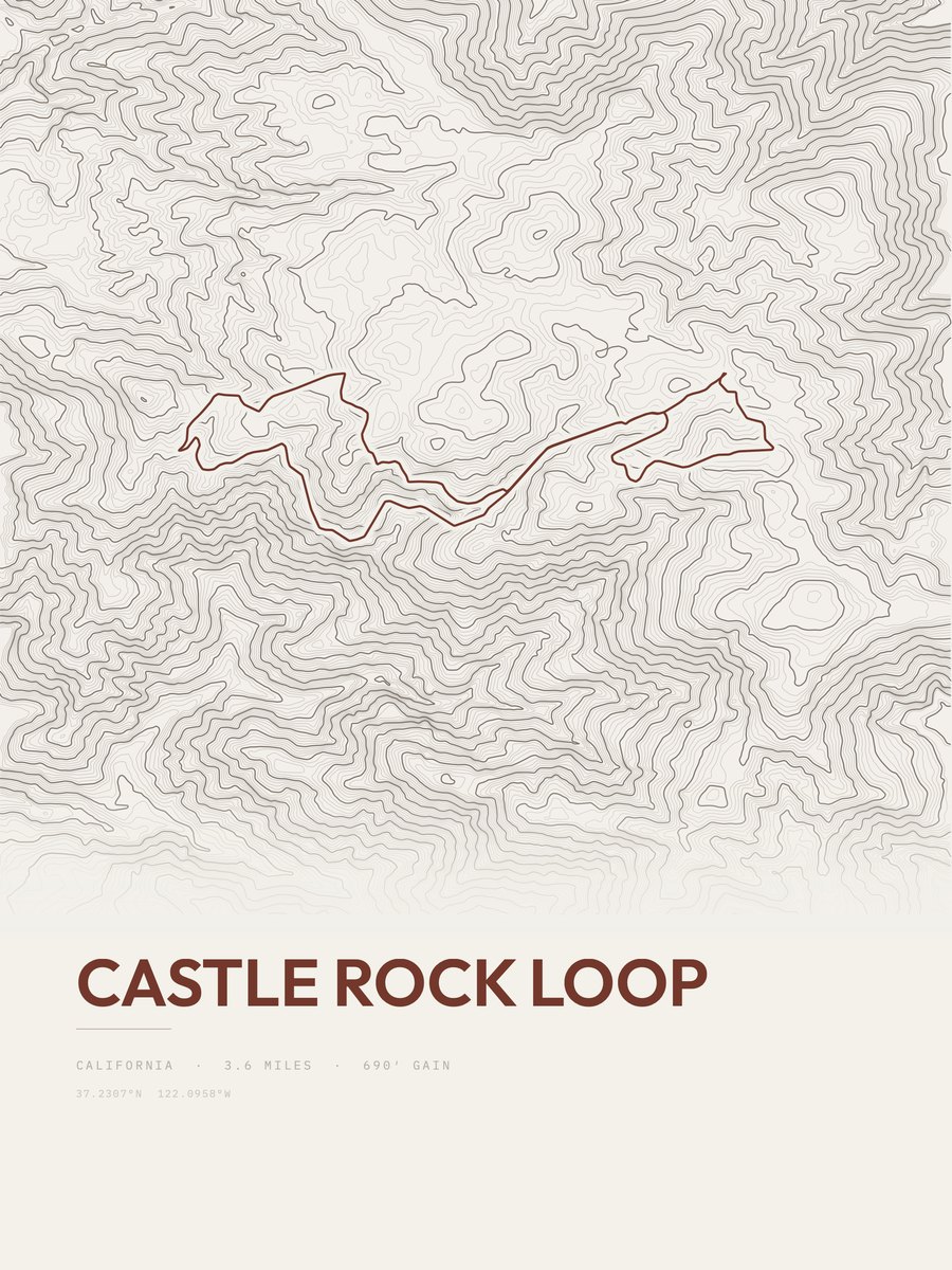
Castle Rock Loop
Bay Area
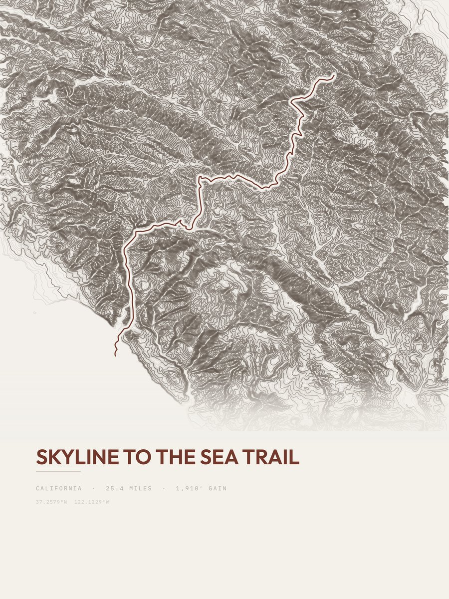
Skyline to the Sea Trail
Bay Area
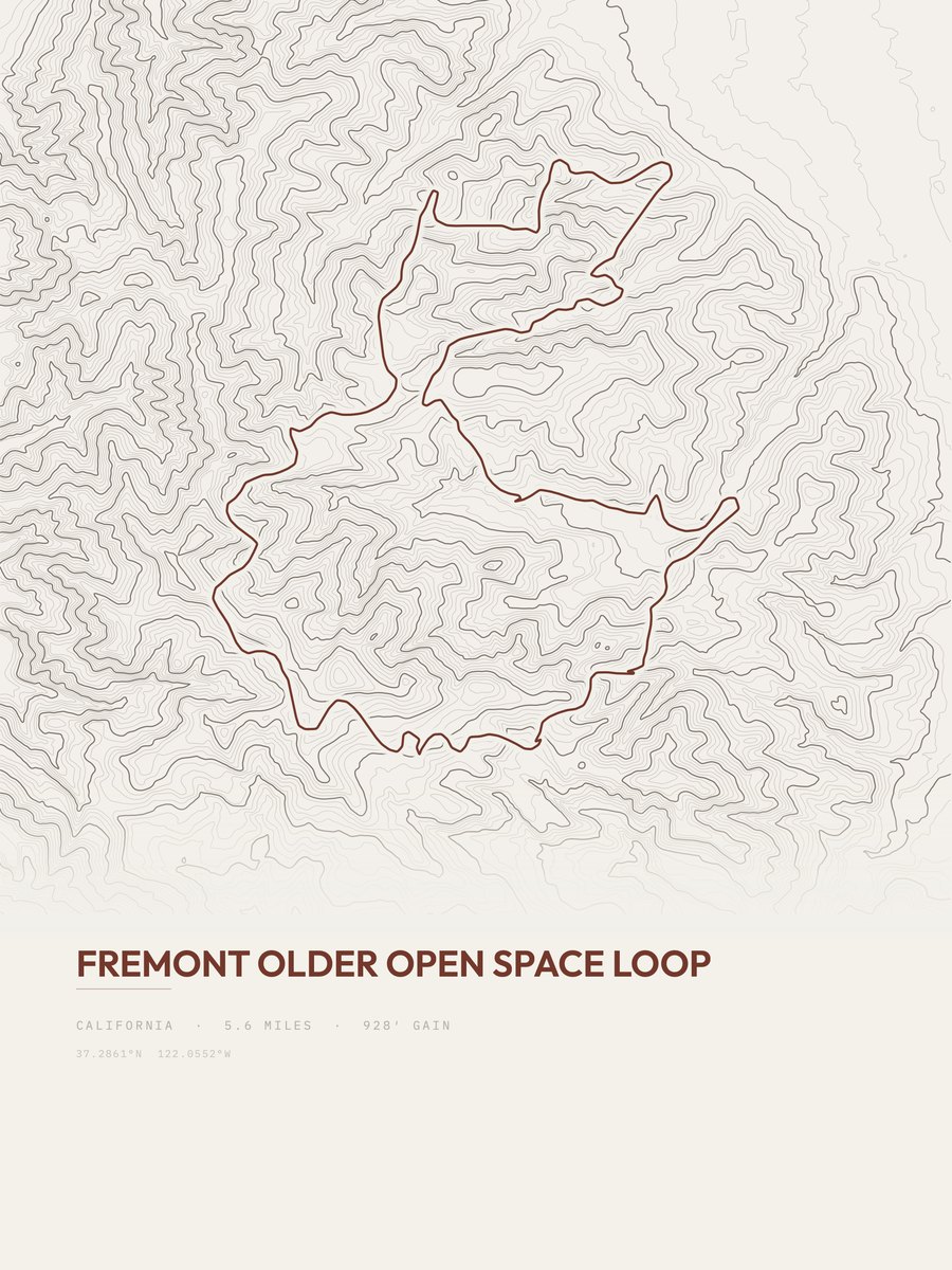
Fremont Older Open Space Loop
Bay Area

Bay Area Ridge Trail
Bay Area

Bay Area Ridge Trail
Bay Area
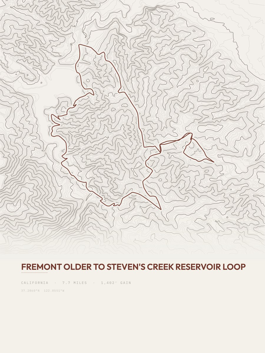
Steven's Creek Reservoir Loop
Bay Area

Bay Area Ridge Trail
Bay Area