National park · 10 trails
Aoraki / Mount Cook posters & trail prints.
From Hooker Valley Track and Mount Ollivier on down, we carry 10 trails from Aoraki / Mount Cook National Park. Pick the one you hiked and we'll render every switchback and foot of climb from its true elevation profile, a poster made to order, just for that route. Hooker Valley Track is the longest at 6.2 miles; Mount Ollivier climbs the most, 3,835 ft. Every print from $39, free US shipping.
NearbyAll New Zealand trails

Aoraki / Mount Cook National Park is a national park located in the Canterbury Region in the central-west of the South Island of New Zealand. It was established in October 1953 and takes its name from the highest mountain in New Zealand, Aoraki / Mount Cook.
From Wikipedia: Aoraki / Mount Cook National Park, CC BY-SA 4.0.

Hooker Valley Track
South Island

Mount Ollivier

Tasman Glacier View Track
South Island

Sealy Tarns Track
South Island
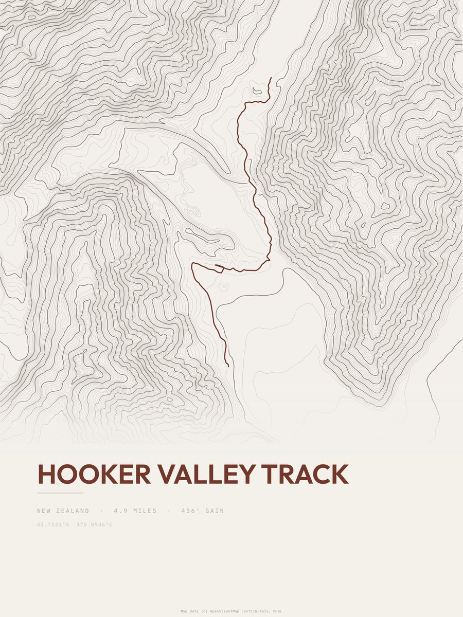
Hooker Valley Track

Mueller Hut Track
South Island

Red Tarns Track
South Island

Kea Point Track
South Island

Kea Point
South Island

Ball Hut Route
South Island
More parks
Arches postersArthur's Pass postersBadlands postersBanff postersBerchtesgaden postersBig Bend postersBlack Canyon of the Gunnison postersBlue Mountains posters