National park · 27 trails
Death Valley posters & trail prints.
27 trails from Death Valley National Park, Telescope Peak Trail and Darwin Falls included, every one available as a topographic art print drawn from the route's actual elevation. Printed to order, so your wall gets the exact trail you earned. Cottonwood / Marble Canyon Loop is the longest at 26.8 miles and the biggest climb, 4,032 ft of gain. Every print from $39, free US shipping.
NearbyAll California trails

Death Valley National Park is a national park of the United States that straddles the California–Nevada border, east of the Sierra Nevada. The park boundaries include Death Valley, the northern section of Panamint Valley, the southern section of Eureka Valley and most of Saline Valley.
From Wikipedia: Death Valley National Park, CC BY-SA 4.0.

Telescope Peak Trail
Deserts

Darwin Falls
Deserts

Ubehebe Crater Loop
Deserts
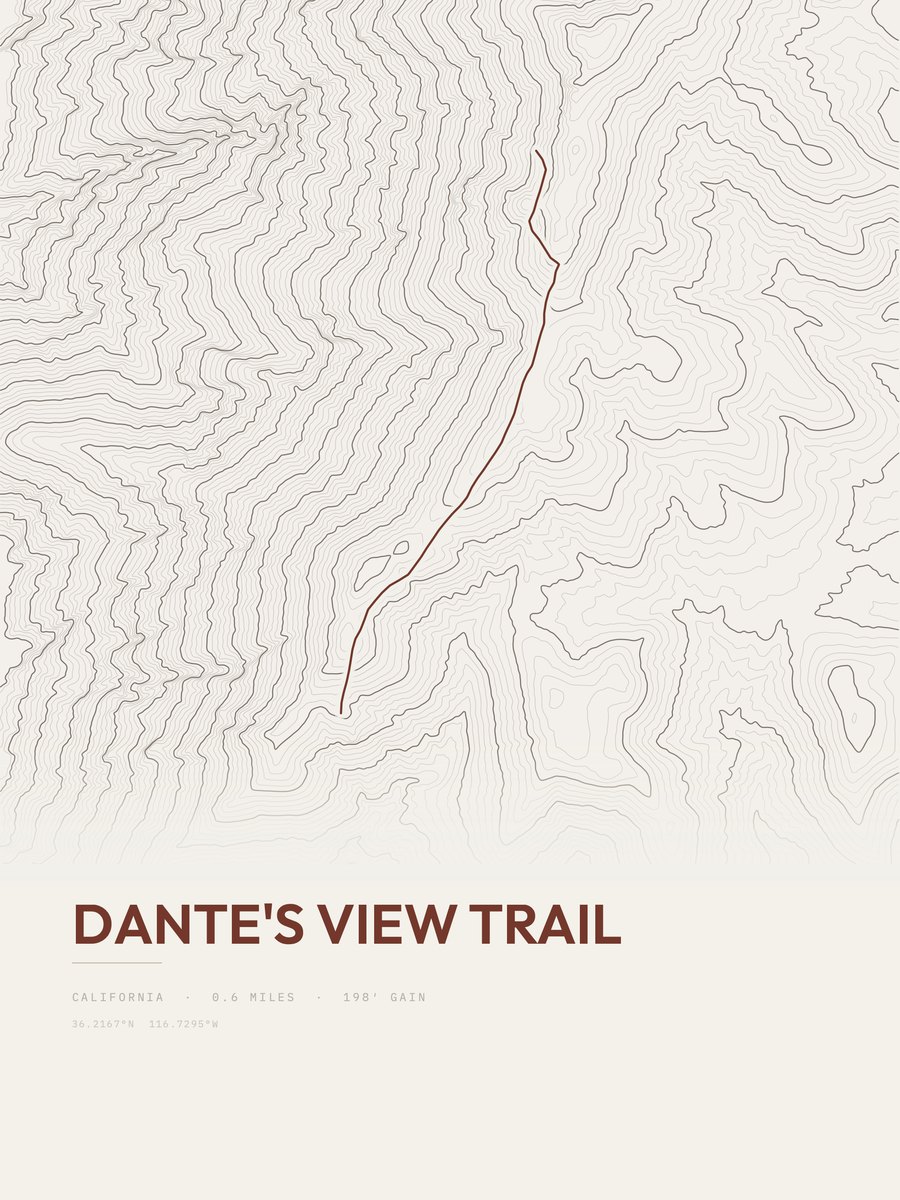
Dante's View Trail
Deserts

Keane Wonder Mine
Deserts

Wildrose Peak Trail
Deserts

Gower Gulch Trail
Deserts

Golden Canyon Trail
Deserts

Corkscrew Peak
Deserts

Mosaic Canyon Trail
Deserts

Ubehebe Peak Trail
Deserts

Desolation Canyon Trail
Deserts

Red Cathedral Canyon Crest
Deserts

Cottonwood / Marble Canyon Loop
Deserts

Red Cathedral
Deserts

Slit Canyon
Deserts

Fall Canyon Route
Deserts

Mount Perry Trail
Deserts
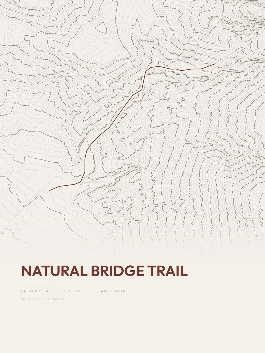
Natural Bridge Trail
Deserts

Funeral Slot Canyon
Deserts
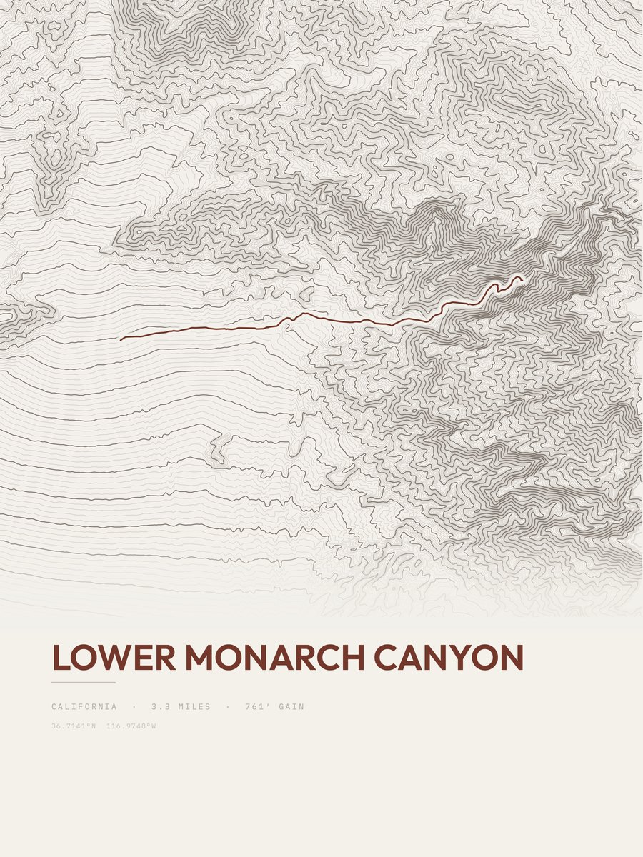
Lower Monarch Canyon
Deserts
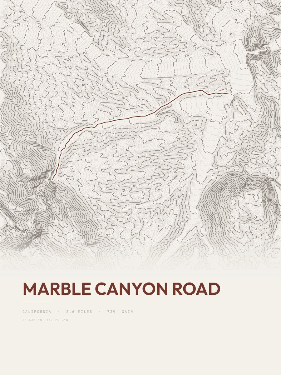
Marble Canyon Road
Deserts

Big Bell Mine Extension Trail
Deserts

Saddle Rock Mine Trail
Deserts
More parks
Denali postersDilijan postersDuna-Ipoly Nemzeti Park postersEgmont postersEryri postersExmoor postersFiordland postersFuji-Hakone-Izu posters