National park · 21 trails
Hot Springs posters & trail prints.
21 trails from Hot Springs National Park, Hot Springs Mountain Loop and Hot Springs Mountain Trail included, every one available as a topographic art print drawn from the route's actual elevation. Printed to order, so your wall gets the exact trail you earned. Sunset Loop is the longest at 9.3 miles and the biggest climb, 1,155 ft of gain. Every print from $39, free US shipping.
NearbyAll Arkansas trails

Hot Springs National Park is a national park of the United States in central Garland County, Arkansas, adjacent to the city of Hot Springs. Hot Springs Reservation was initially created by an act of the United States Congress on April 20, 1832, to be preserved for future recreation.
From Wikipedia: Hot Springs National Park, CC BY-SA 4.0.

Hot Springs Mountain Loop
West-Central AR

Hot Springs Mountain Trail
West-Central AR

Sunset Loop
West-Central AR

Sunset Trail
West-Central AR

Peak Trail
West-Central AR

Sunset Trail
West-Central AR

Dead Chief Trail
West-Central AR

Mountain Top Trail
West-Central AR

Upper Dogwood Trail
West-Central AR

Gulpha Gorge Trail
West-Central AR

West Mountain Trail
West-Central AR

Goat Rock Trail
West-Central AR

Oak Trail
West-Central AR

Lower Dogwood Trail
West-Central AR
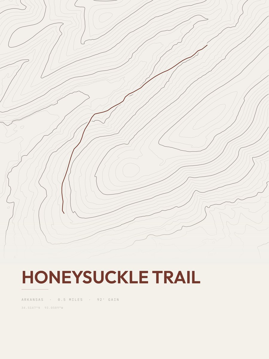
Honeysuckle Trail
West-Central AR
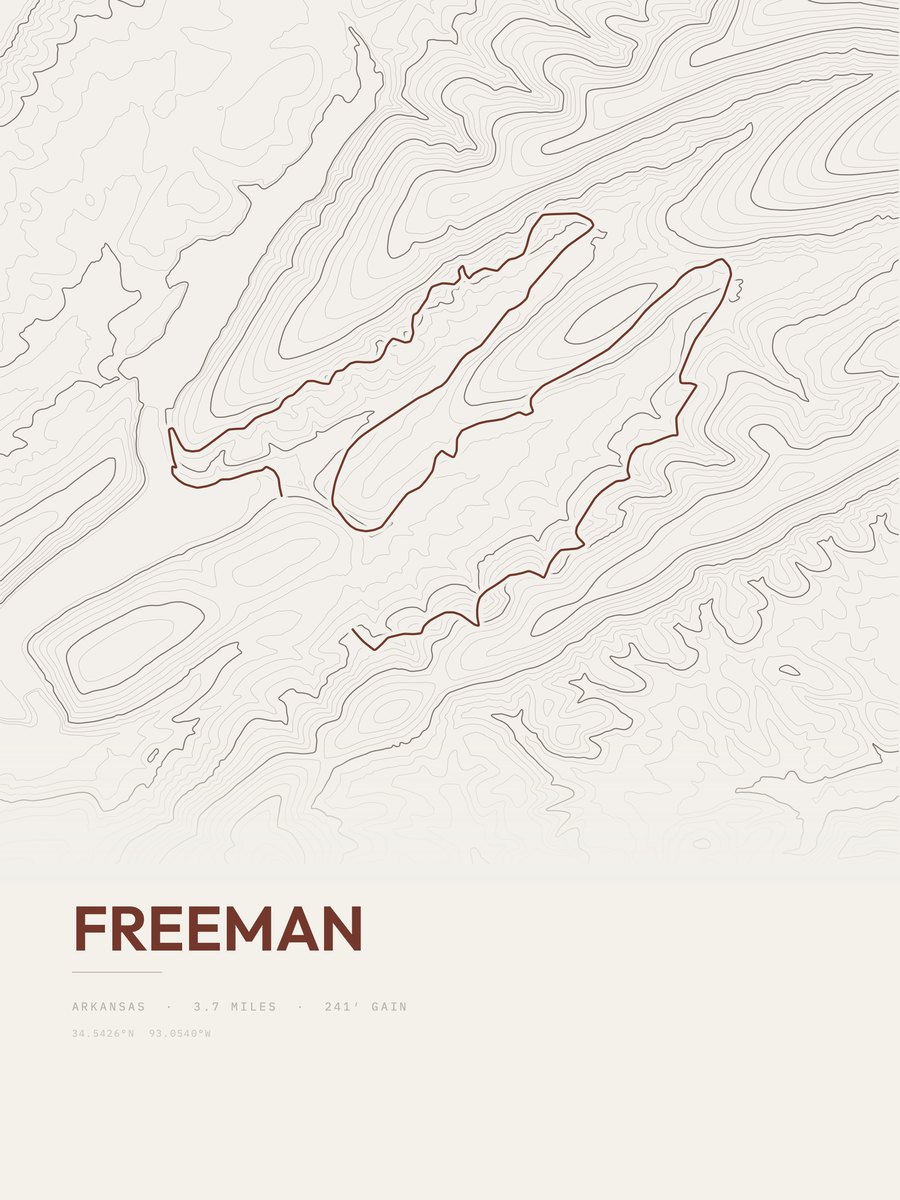
Freeman
West-Central AR
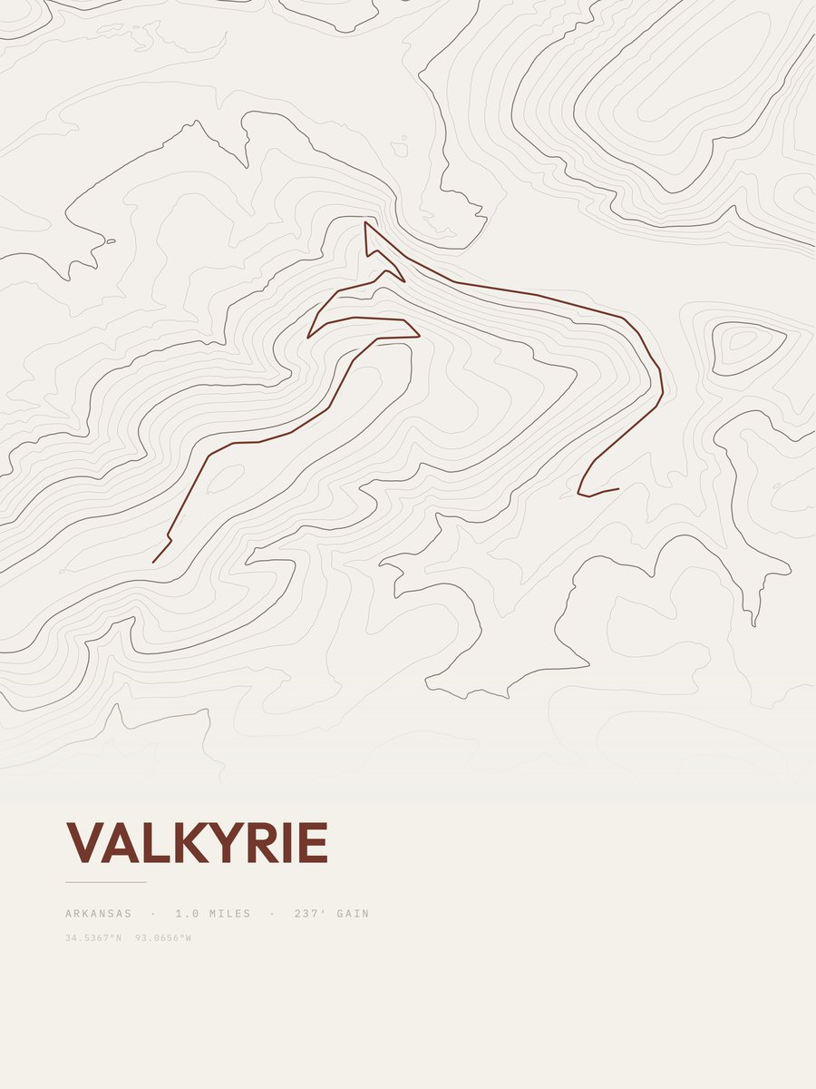
Valkyrie
West-Central AR
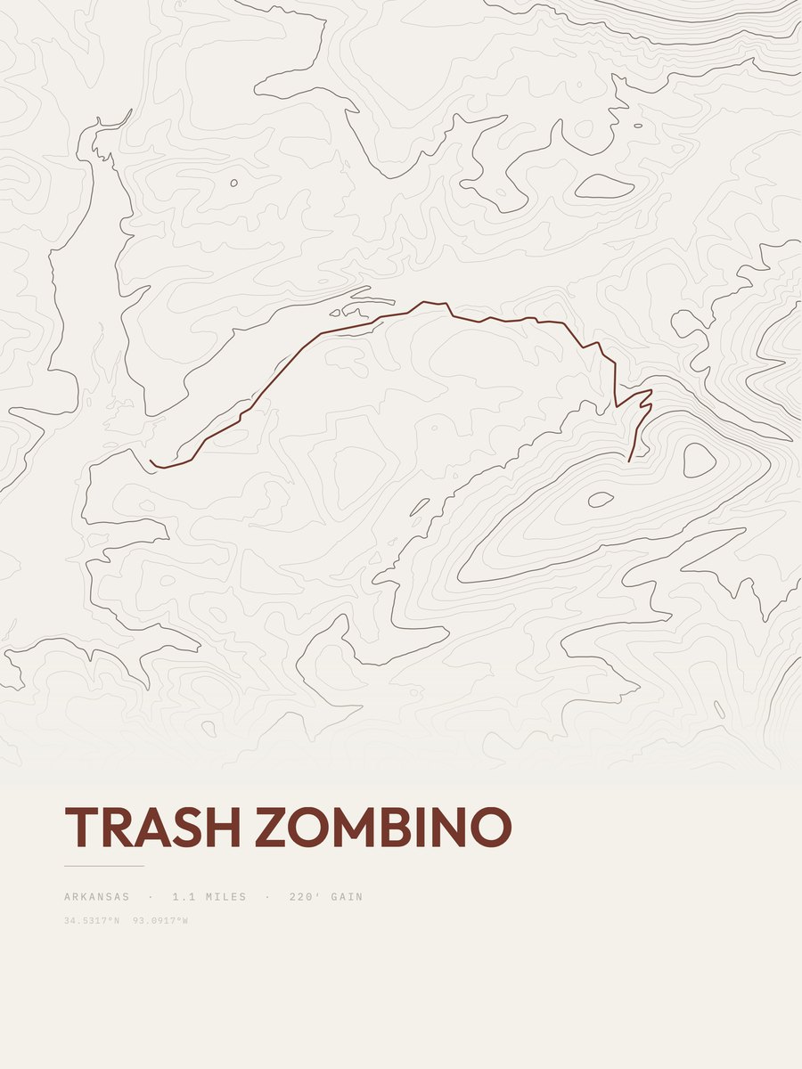
Trash Zombino
West-Central AR
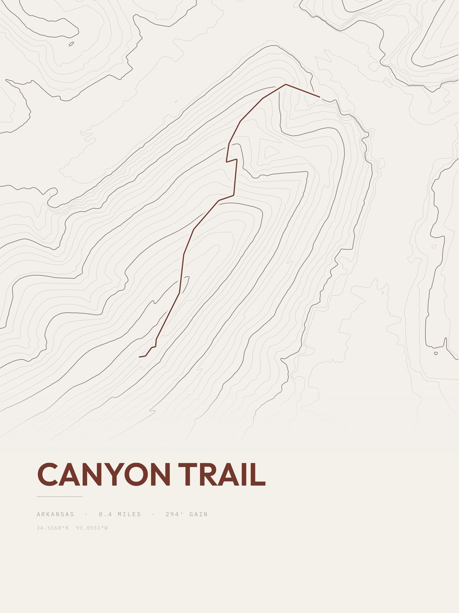
Canyon Trail
West-Central AR
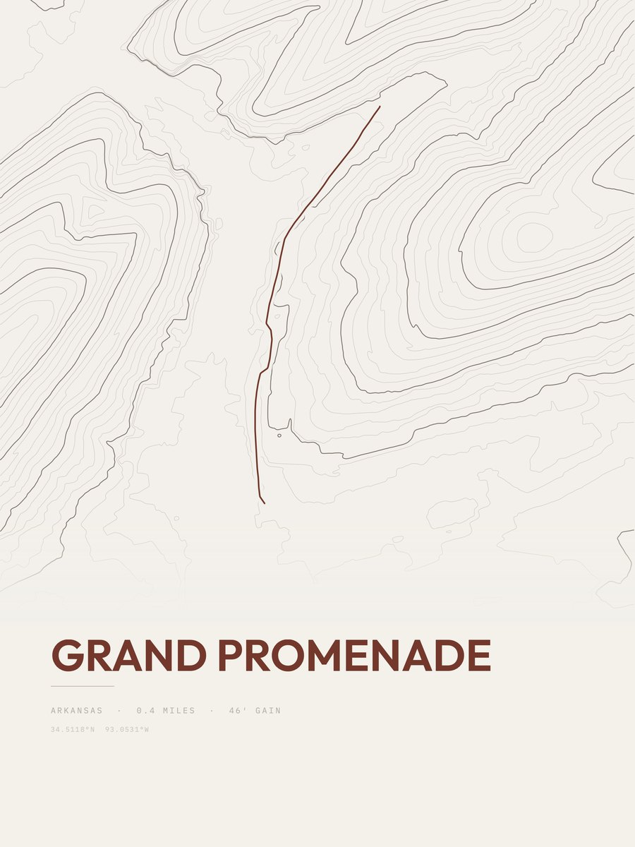
Grand Promenade
West-Central AR

Pullman Trail
West-Central AR
More parks
Huascarán postersIndiana Dunes postersIsle Royale postersJasper postersJoshua Tree postersJotunheimen postersKahurangi postersKings Canyon posters