County · Ireland · 23 trails
Wicklow trail prints.
Wicklow in Ireland has 23 trails with full pages in our collection, 60 miles of trail in all, Bray Head Loop and Glendalough Red Route among them. The longest is Glendalough Red Route at 6.2 miles; the biggest climb is Camarahill to Lugnaquilla, 1,954 ft of gain. 21 are under 5 miles, so there is a short day here too. Each one is a custom topographic print drawn from the route's real elevation data, every switchback and every foot of climb, made to order. Every print from $39, free US shipping.
By parkWicklow Mountains21
CountryAll Ireland trails
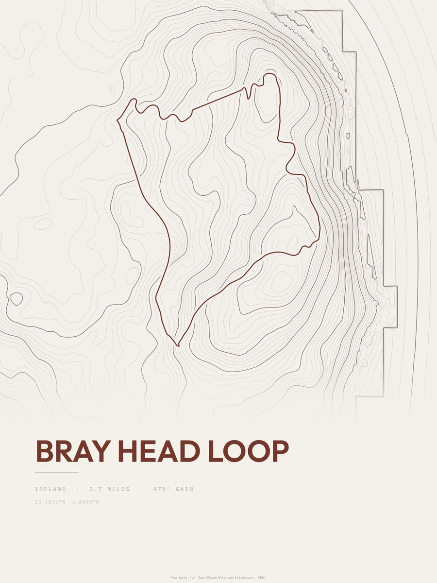
Bray Head Loop

Glendalough Red Route
Wicklow Mountains NP

Glendalough White Route
Wicklow Mountains NP

Glendalough Orange Route
Wicklow Mountains NP
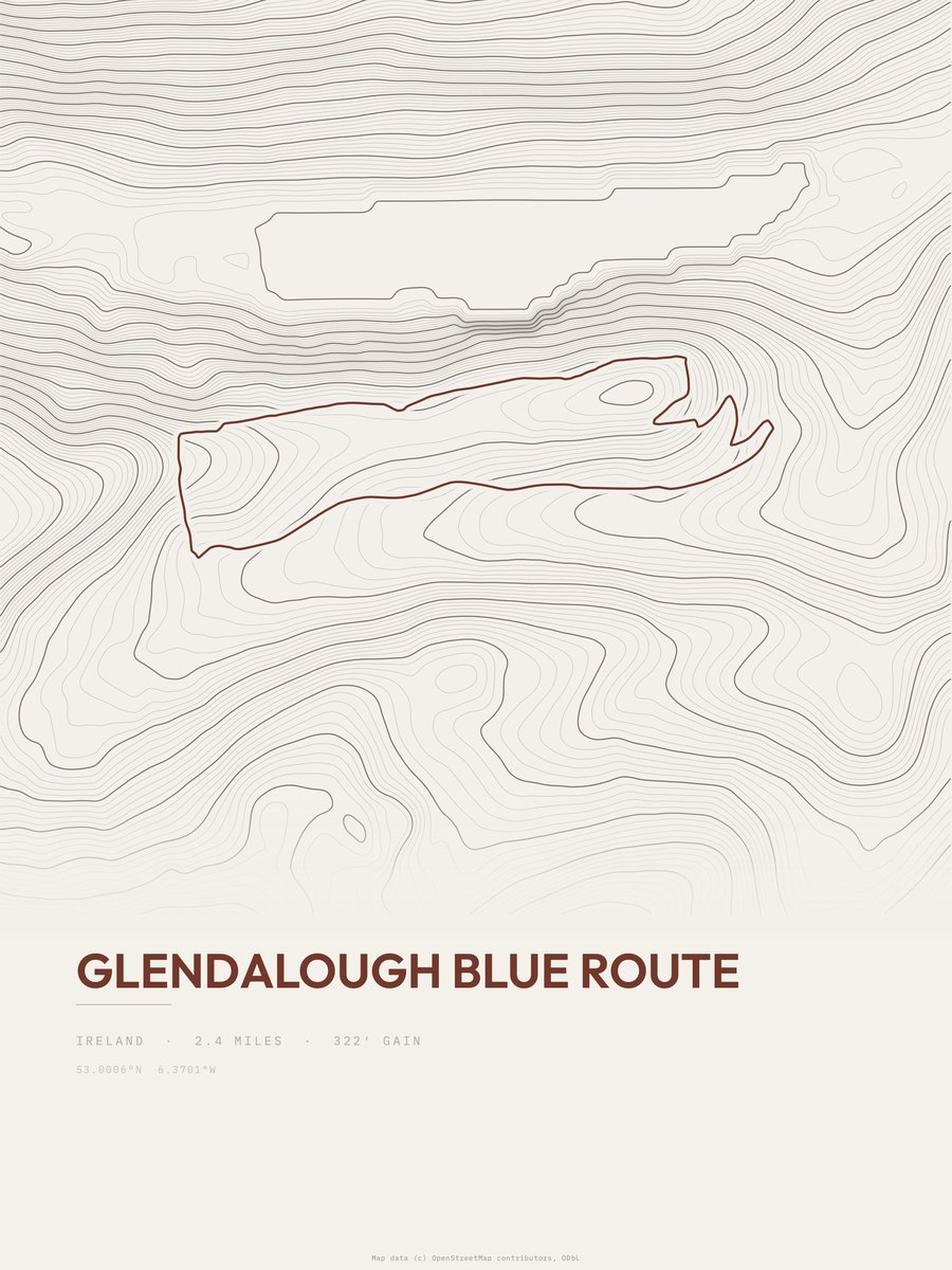
Glendalough Blue Route
Wicklow Mountains NP
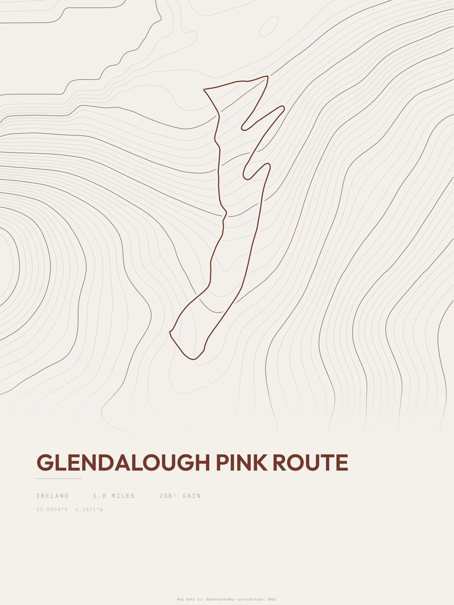
Glendalough Pink Route
Wicklow Mountains NP
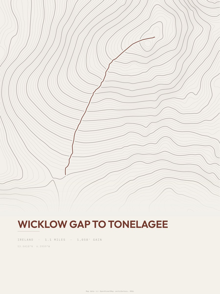
Wicklow Gap to Tonelagee
Wicklow Mountains NP
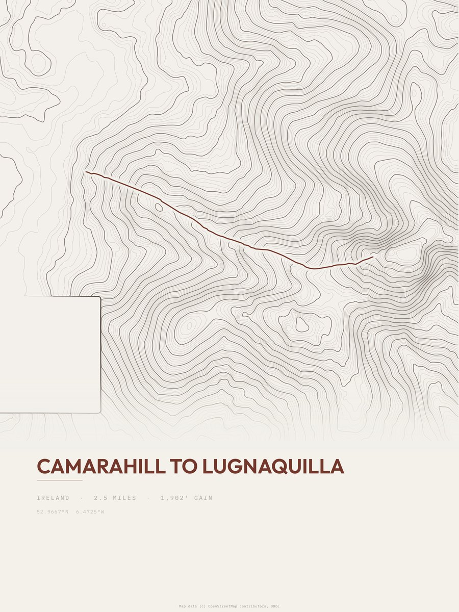
Camarahill to Lugnaquilla
Wicklow Mountains NP
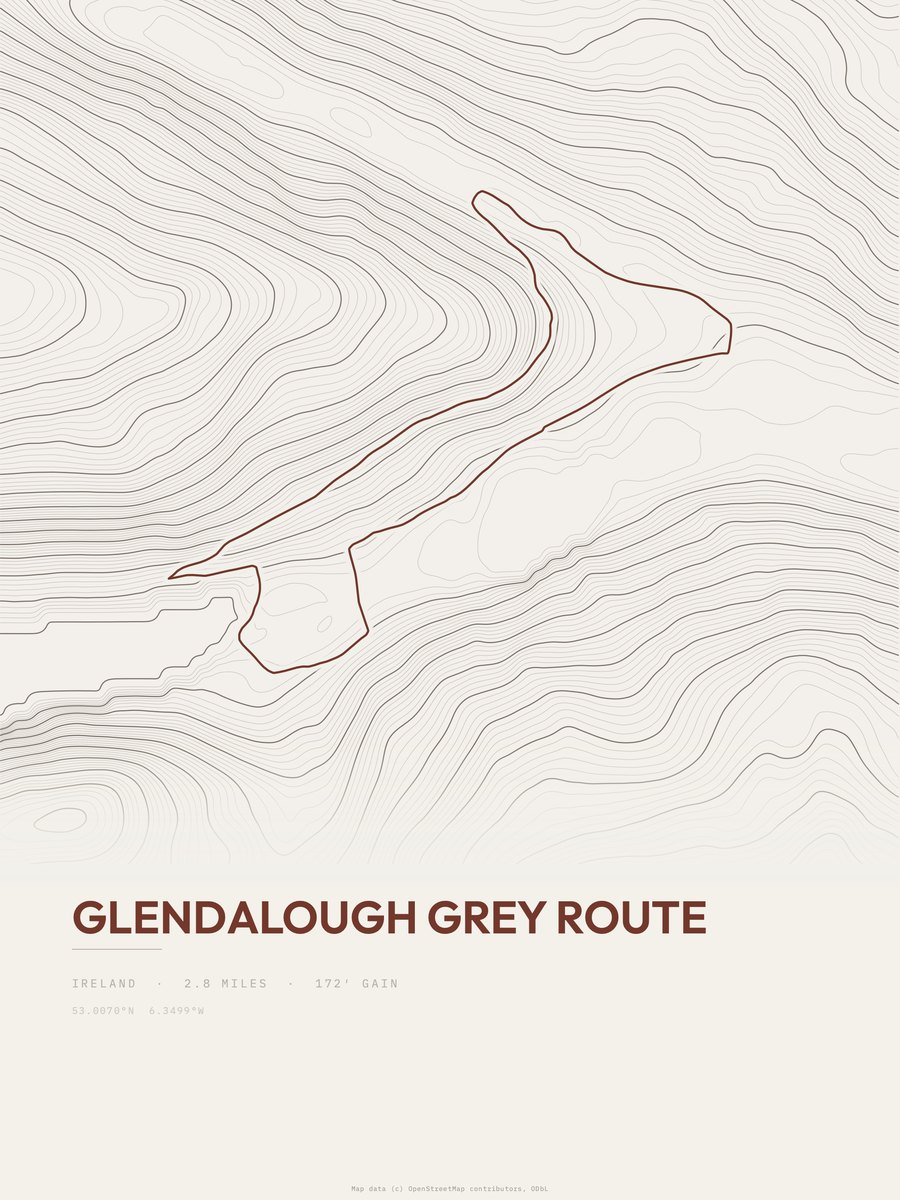
Glendalough Grey Route
Wicklow Mountains NP
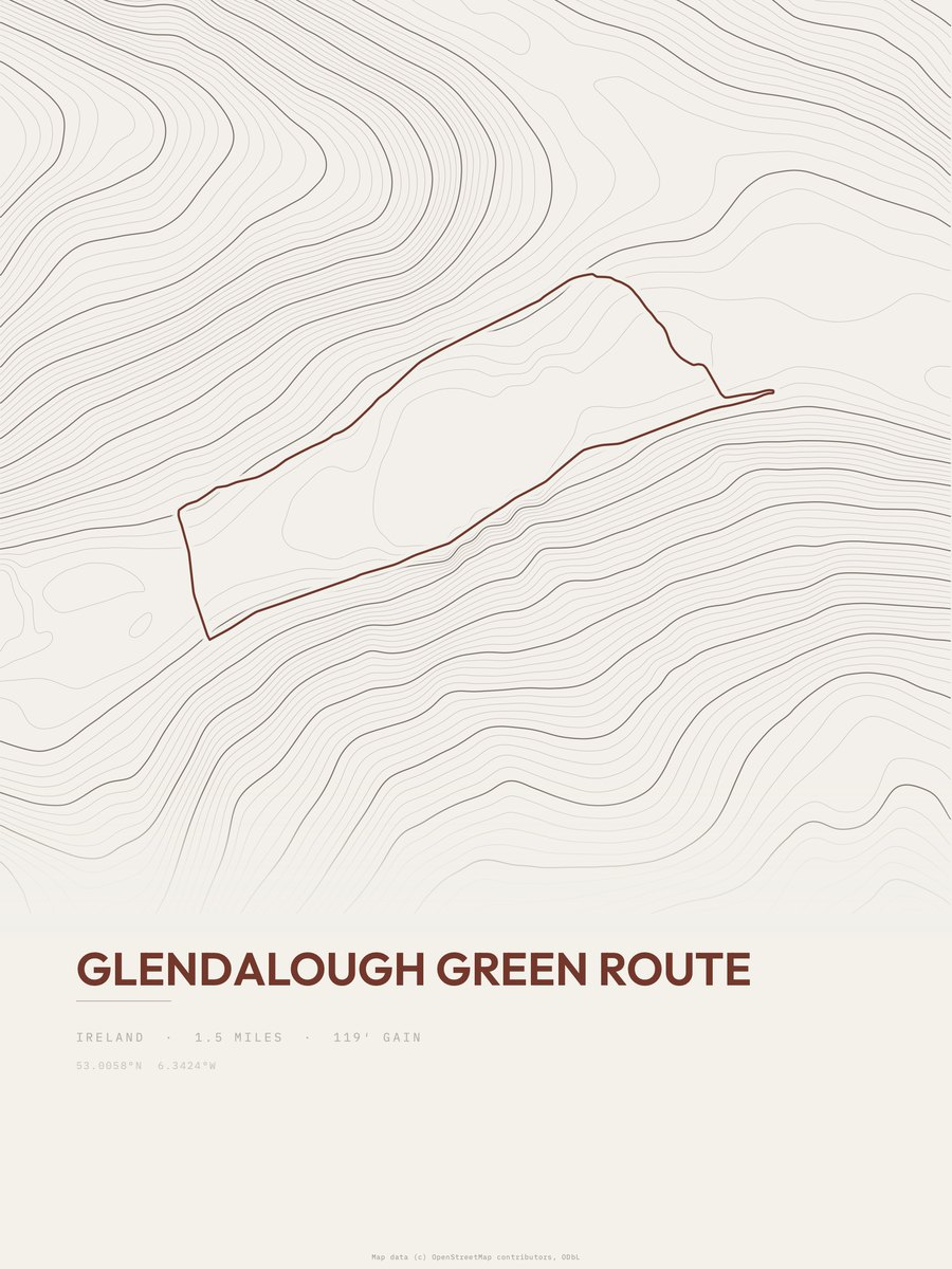
Glendalough Green Route
Wicklow Mountains NP
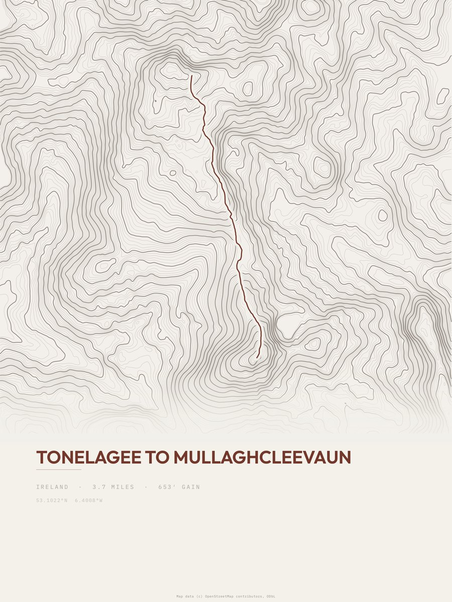
Tonelagee to Mullaghcleevaun
Wicklow Mountains NP
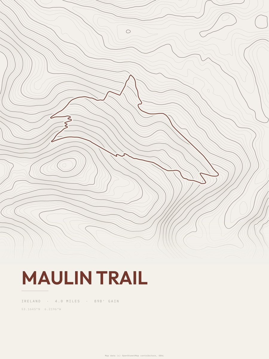
Maulin Trail
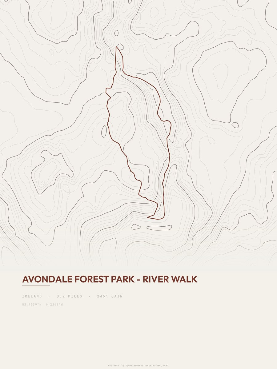
Avondale Forest Park

Moanbane and Silsean
Wicklow Mountains NP

Glenmacnass Waterfall
Wicklow Mountains NP

Camenabologue to Lugnaquilla
Wicklow Mountains NP

Black Hill to Mullaghcleevaun
Wicklow Mountains NP

Maulin Trail
Wicklow Mountains NP

Corrigasleggaun to Lugnaquilla
Wicklow Mountains NP

Carrigvore to Duff Hill
Wicklow Mountains NP

Mullaghcleevaun East
Wicklow Mountains NP

Maulin to Tonduff
Wicklow Mountains NP

Lugnaquilla to Cloghernagh
Wicklow Mountains NP
More of Ireland
Cork trail printsDonegal trail printsKerry trail printsGalway trail printsKilkenny trail printsTipperary trail prints