Voivodeship|province · Poland · 11 trails
Lower Silesian Voivodeship trail prints.
Lower Silesian Voivodeship in Poland has 11 trails with full pages in our collection, 97 miles of trail in all, Via Czechia and Cesta česko-polského přátelství among them. The longest is Via Czechia at 20.6 miles, also the biggest climb at 4,583 ft of gain. 4 are under 5 miles, so there is a short day here too. Each one is a custom topographic print drawn from the route's real elevation data, every switchback and every foot of climb, made to order. Every print from $39, free US shipping.
CountryAll Poland trails
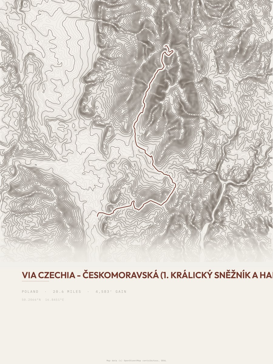
Via Czechia
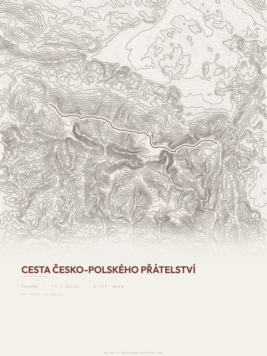
Cesta česko-polského přátelství
Giant Mountains NP
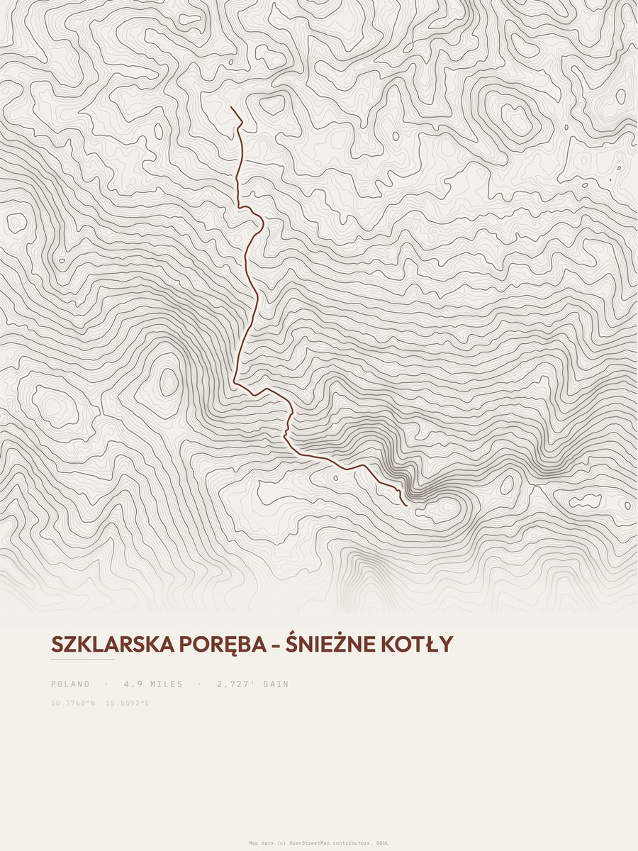
Szklarska Poręba - Śnieżne Kotły
Giant Mountains NP
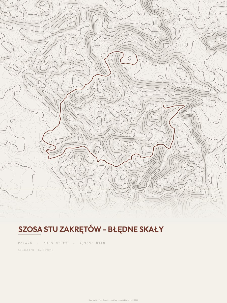
Błędne Skały
Stołowe Mountains NP
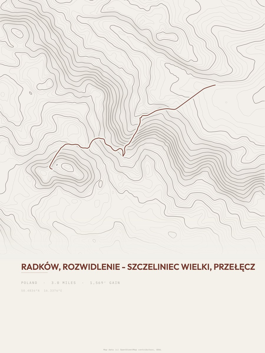
Radków to Szczeliniec Wielki
Stołowe Mountains NP
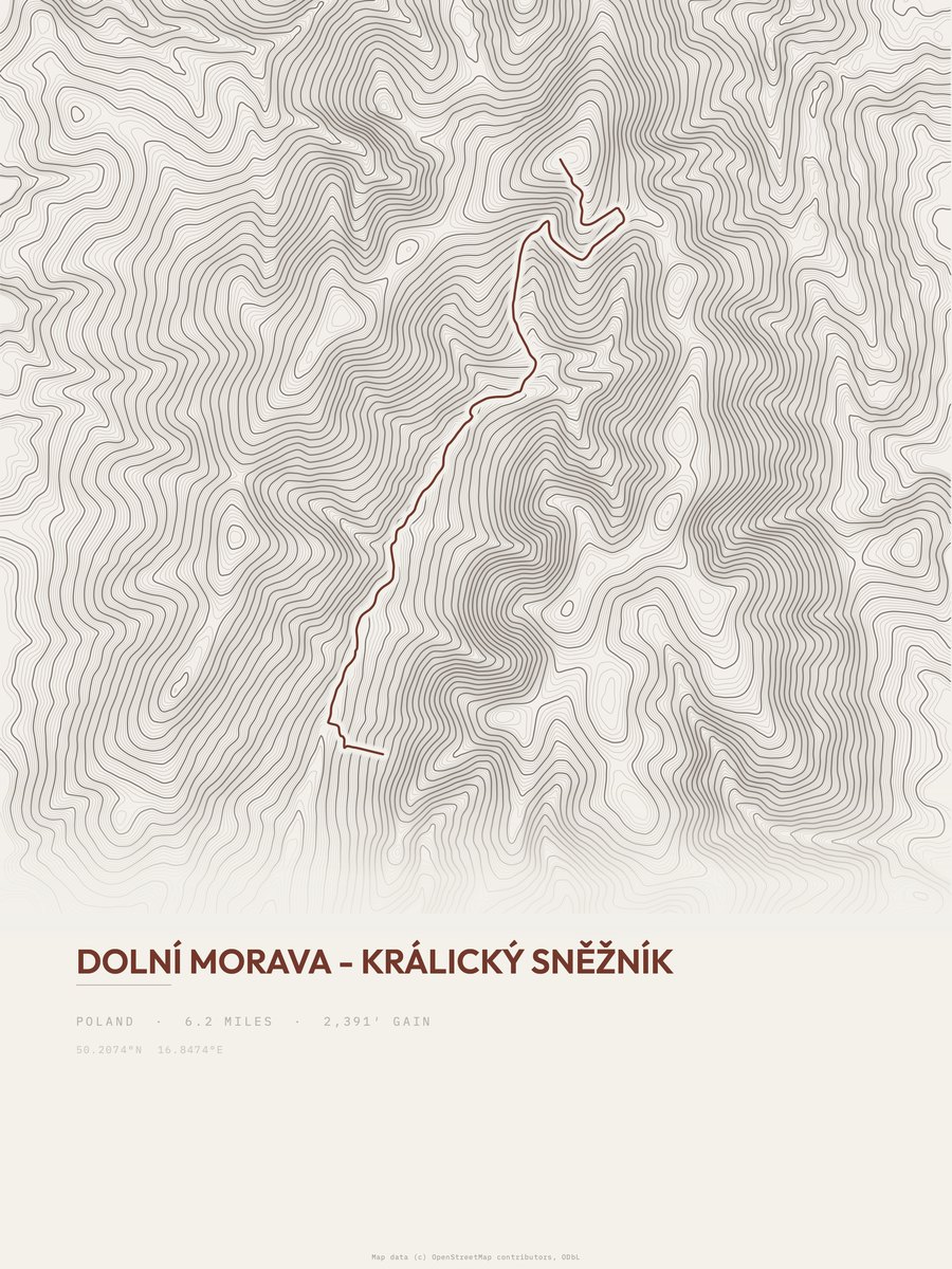
Dolní Morava - Králický Sněžník
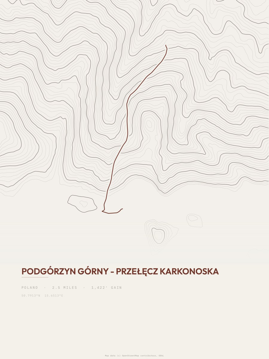
Przełęcz Karkonoska
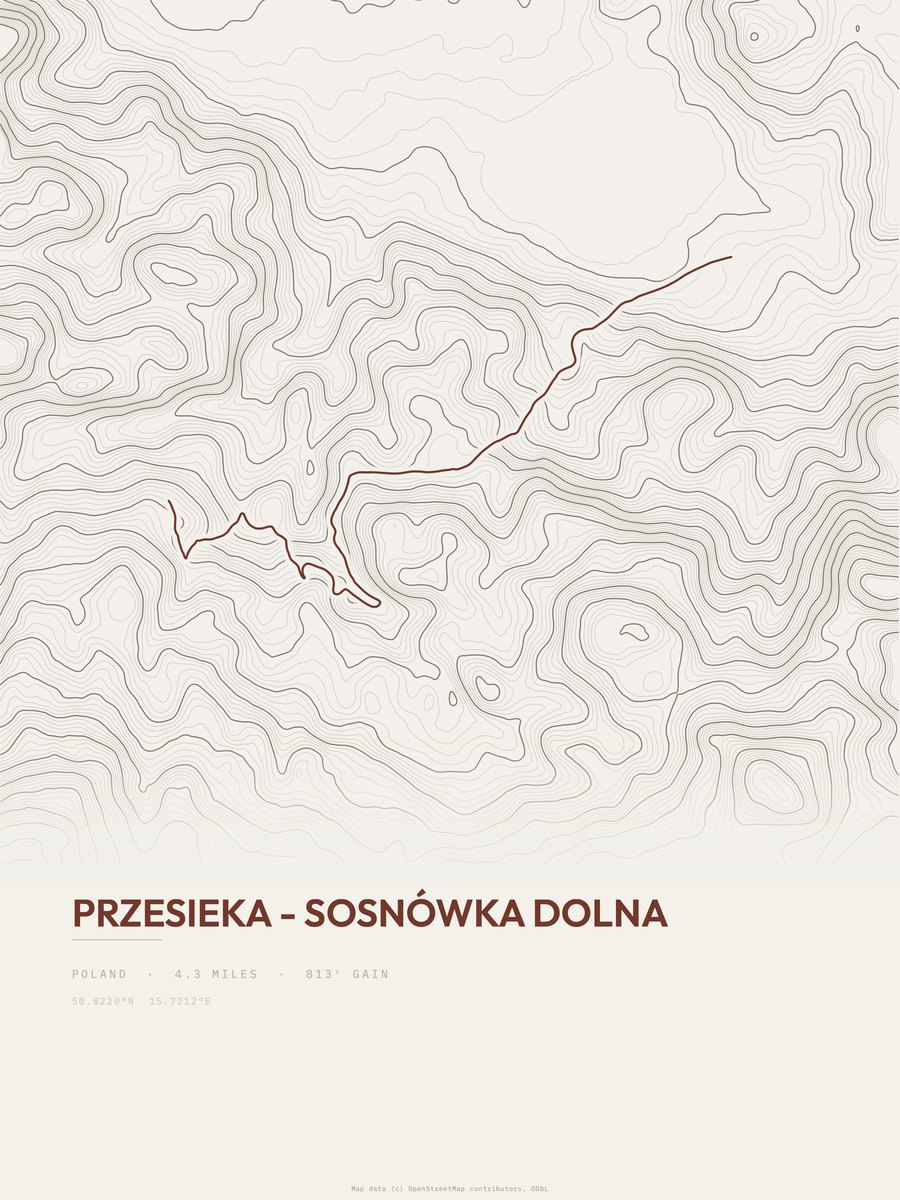
Przesieka - Sosnówka Dolna

Przełęcz Sokola - Wielka Sowa

Uroczysko

Walim - Wielka Sowa