The easiest hikes in Utah, by the numbers
Of the 371 trails in Utah in our dataset, 72 (19 percent) rate easiest on the gain-and-distance scale we use, run 1 to 6 miles and climb 500 ft or less; these are the 25 with the lowest rating.
Northgate Peaks Trail has the lowest rating: 22 ft of gain over 1.1 miles, 20 ft per mile.
Across the 25, gain runs from 22 to 384 ft and distance from 1 mile to 2.1 miles; the median gain is 156 ft and the median distance 1.4 miles.
16 of the 25 are point-to-point routes; the rest are loop (6) or out-and-back (3).
| # | Trail | Miles | Gain (ft) | Ft per mile | Max grade | Elevation (ft) | Rating | Profile |
|---|---|---|---|---|---|---|---|---|
| 1 | Northgate Peaks TrailZion NP | 1.1 | 22 | 20 | 7% | 6,903 to 6,943 | 7 | |
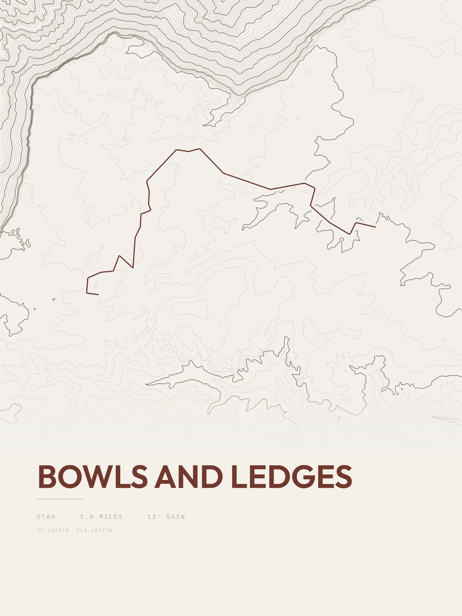
| 2 | Bowls and LedgesSouthwestern Utah | 1 | 66 | 66 | 4% | 5,163 to 5,229 | 11.5 | |
| 3 | Bristlecone LoopBryce Canyon NP | 1 | 92 | 92 | 13% | 9,012 to 9,106 | 13.6 | |
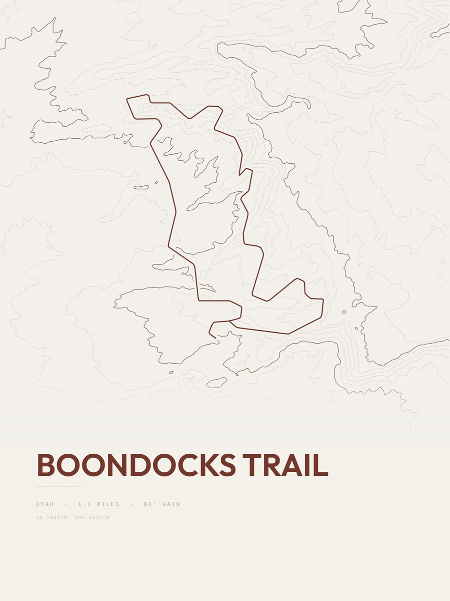
| 4 | Boondocks TrailSoutheastern Utah | 1.1 | 84 | 76 | 8% | 4,422 to 4,483 | 13.6 | |
| 5 | Visitor Center TrailCapitol Reef NP | 1.3 | 76 | 58 | 3% | 5,422 to 5,491 | 14.1 | |
| 6 | Topspin TrailArches NP | 1.3 | 98 | 75 | 11% | 4,414 to 4,480 | 16 | |
| 7 | Timber Creek OverlookZion NP | 1.2 | 112 | 93 | 12% | 6,237 to 6,331 | 16.4 | |
| 8 | Riverside WalkZion NP | 1.9 | 75 | 39 | 4% | 4,446 to 4,521 | 16.9 | |
| 9 | Windows LoopArches NP | 1 | 162 | 162 | 17% | 5,175 to 5,308 | 18 | |
| 10 | VertiGo TrailArches NP | 1 | 170 | 170 | 12% | 4,464 to 4,610 | 18.4 | |
| 11 | Parus TrailZion NP | 1.7 | 101 | 59 | 3% | 3,934 to 4,034 | 18.5 | |
| 12 | Cross Canyon TrailArches NP | 1.3 | 137 | 105 | 10% | 4,508 to 4,632 | 18.9 | |
| 13 | Slickrock TrailCanyonlands NP | 1.7 | 112 | 66 | 9% | 4,981 to 5,040 | 19.5 | |
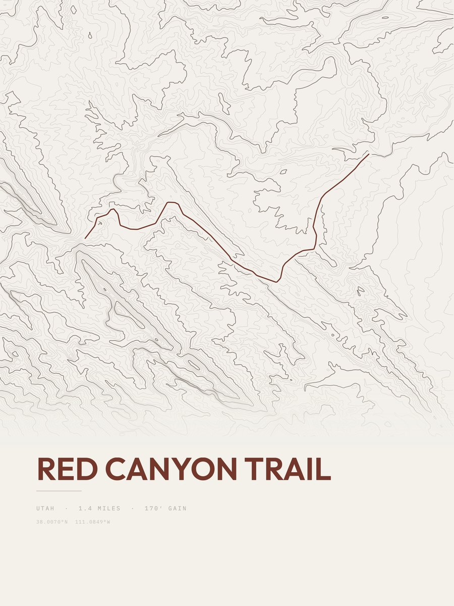
| 14 | Red Canyon TrailCapitol Reef NP | 1.4 | 170 | 121 | 8% | 5,623 to 5,792 | 21.8 | |
| 15 | Broken Arch Loop TrailArches NP | 1.4 | 177 | 126 | 14% | 5,137 to 5,278 | 22.3 | |
| 16 | Angel Arch TrailCanyonlands NP | 1.5 | 174 | 116 | 10% | 5,393 to 5,541 | 22.8 | |
| 17 | Murphy Point TrailCanyonlands NP | 1.7 | 156 | 92 | 11% | 6,105 to 6,254 | 23 | |
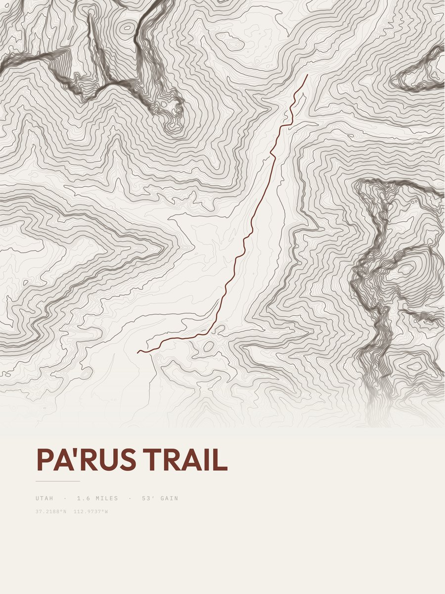
| 18 | Pa'rus TrailZion NP | 1.6 | 166 | 104 | 15% | 3,928 to 4,045 | 23 | |
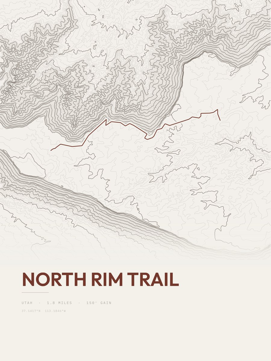
| 19 | North Rim TrailSouthwestern Utah | 1.8 | 150 | 83 | 3% | 5,208 to 5,350 | 23.2 | |
| 20 | Houdini TrailArches NP | 1.8 | 164 | 91 | 7% | 4,432 to 4,594 | 24.3 | |
| 21 | Wahoo TrailArches NP | 1.6 | 206 | 129 | 10% | 4,598 to 4,807 | 25.7 | |
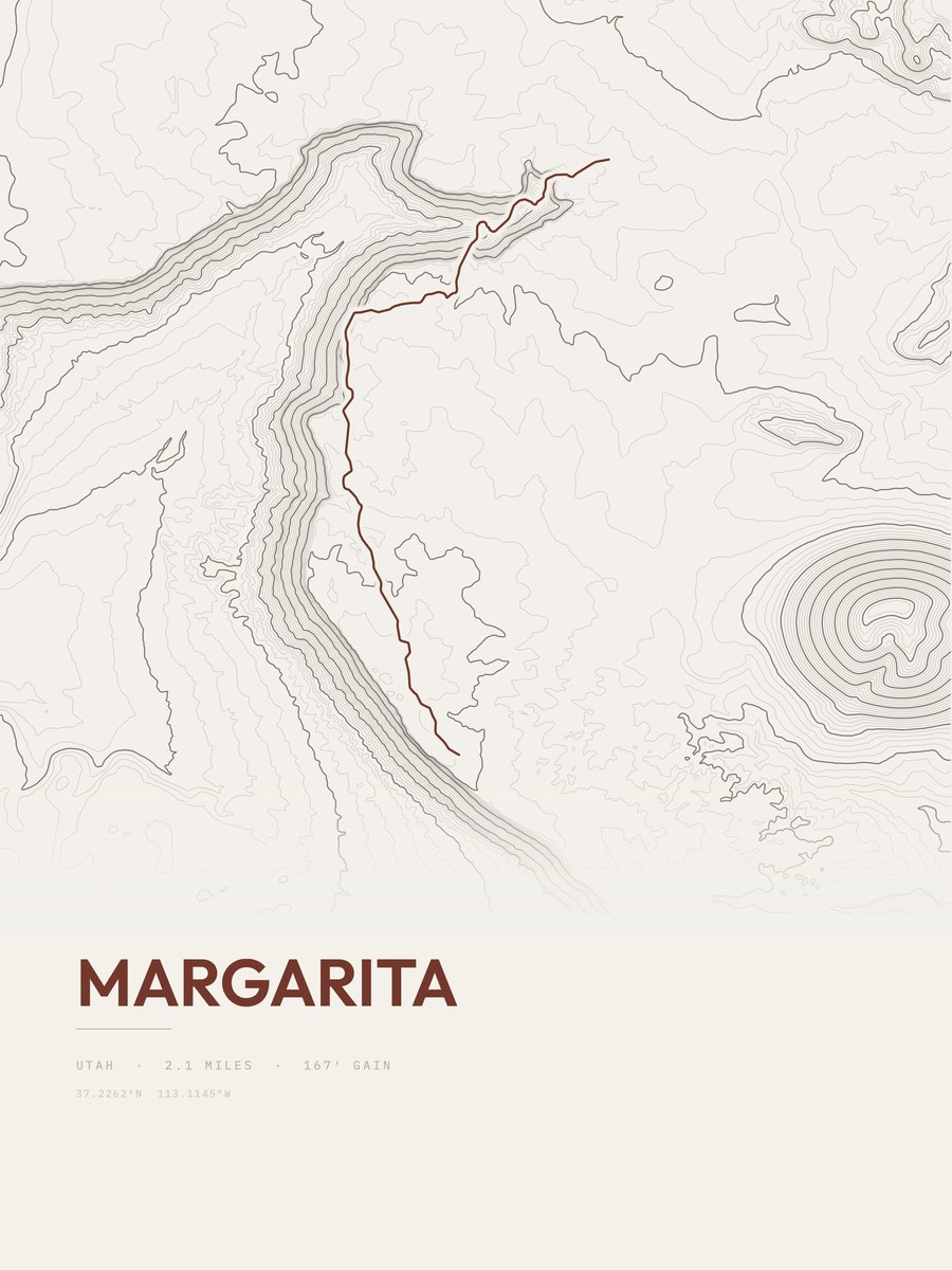
| 22 | MargaritaZion NP | 2.1 | 167 | 80 | 4% | 4,462 to 4,612 | 26.5 | |
| 23 | Devils Kitchen Trail N. SpurCanyonlands NP | 1.6 | 229 | 143 | 16% | 5,279 to 5,485 | 27.1 | |
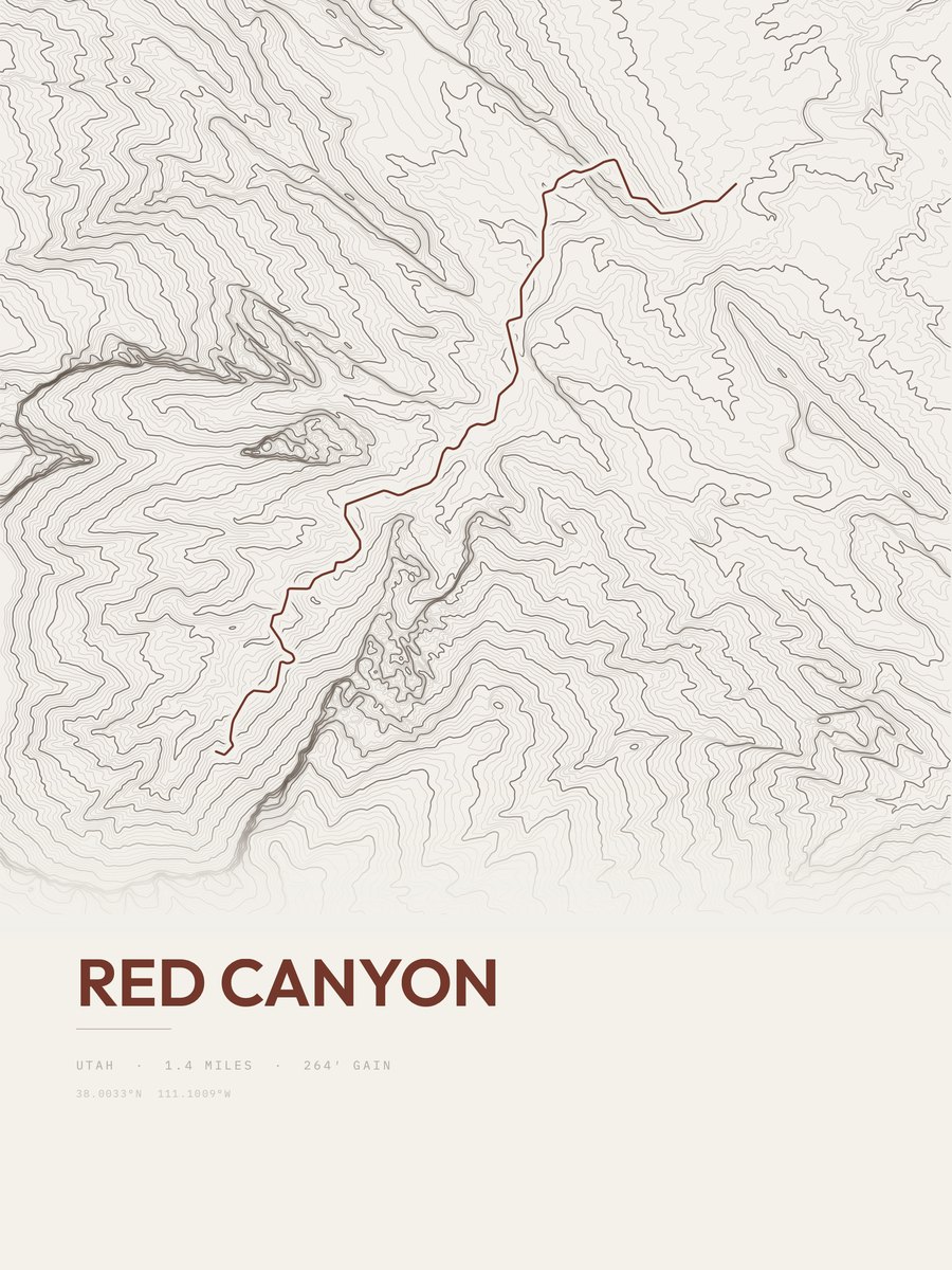
| 24 | Red CanyonCapitol Reef NP | 1.4 | 264 | 189 | 9% | 5,758 to 6,022 | 27.2 | |
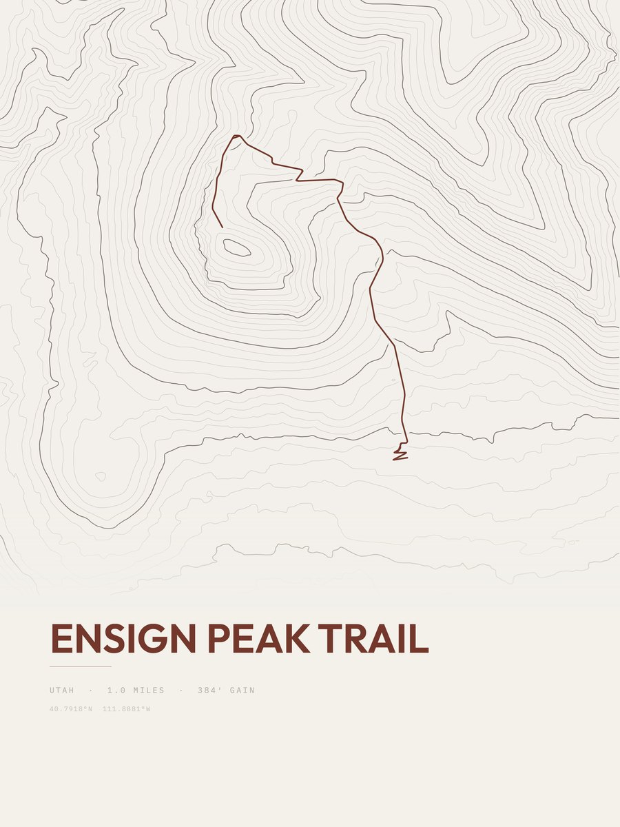
| 25 | Ensign Peak TrailSalt Lake City and Wasatch Front | 1 | 384 | 384 | 35% | 5,014 to 5,398 | 27.7 |









How this list is ranked
Rating = the square root of 2 x elevation gain (ft) x distance (miles), the gain-and-distance formula Shenandoah National Park publishes for its own trails. Bands: under 50 easiest, 50 to 100 moderate, 100 to 150 moderately strenuous, 150 to 200 strenuous, 200 and over very strenuous.
This list: band easiest (under 50), 1 to 6 miles, no more than 500 ft of gain, ordered by rating asc, miles asc, capped at 25. The rating column is computed from the miles and gain printed in the same row, the numbers each trail page uses, so every row can be checked from the row itself. The rating says nothing about exposure, scrambling, altitude or conditions.
Only trails with a full page count, so "Utah" here means the 371 trails in Utah in our dataset, not every trail in Utah.
Each trail page shows the full elevation profile behind these numbers and the same data drawn as a topographic print, made to order. Start with Northgate Peaks Trail.
Easiest hikes elsewhere.
The same ranking for other states in our dataset.