The hardest hikes in Utah, by the numbers
Of the 371 trails in Utah in our dataset, 60 (16 percent) rate strenuous or very strenuous on the gain-and-distance scale we use and run 3 to 30 miles with at least 1,500 ft of climb; these are the 25 with the highest rating.
Great Western Trail leads with 7,550 ft of gain over 29.3 miles, 258 ft per mile, with a steepest pitch of 27 percent.
Across the 25, gain runs from 1,815 to 7,630 ft and distance from 7.6 miles to 29.3 miles; the median gain is 4,347 ft and the median distance 14.9 miles.
14 of the 25 are point-to-point routes; the rest are out-and-back (9) or loop (2).
| # | Trail | Miles | Gain (ft) | Ft per mile | Max grade | Elevation (ft) | Rating | Profile |
|---|---|---|---|---|---|---|---|---|
| 1 | Great Western TrailBryce Canyon NP | 29.3 | 7,550 | 258 | 27% | 7,124 to 8,945 | 665.2 | |
| 2 | Skyline TrailNorthern Utah | 21.4 | 7,630 | 357 | 45% | 4,993 to 9,642 | 571.5 | |
| 3 | Naomi PeakNorthern Utah | 23.6 | 6,789 | 288 | 40% | 6,026 to 9,786 | 566.1 | |
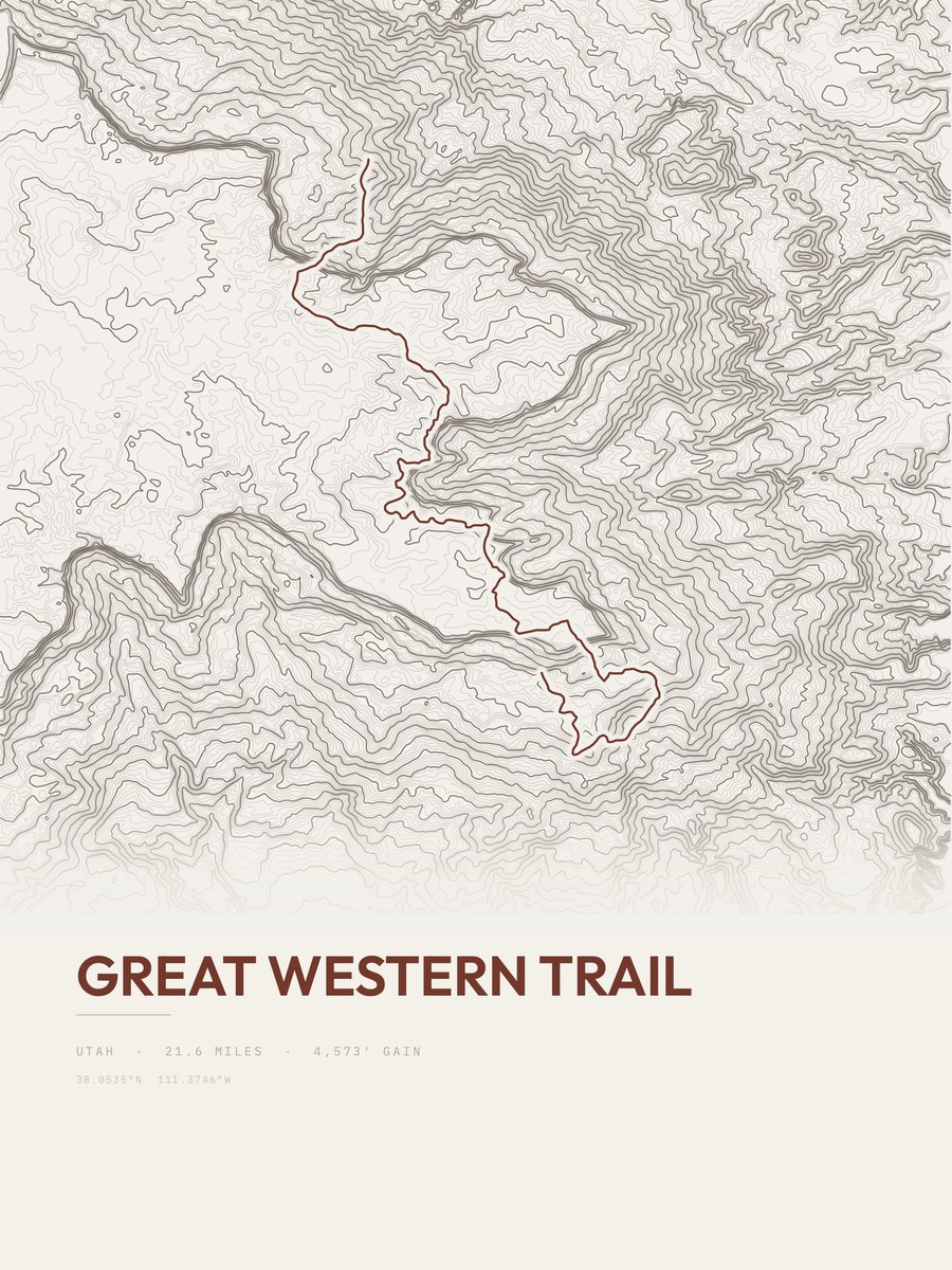
| 4 | Great Western Trail | 21.6 | 4,573 | 212 | 47% | 9,213 to 11,151 | 444.5 | |
| 5 | Under-the-Rim TrailBryce Canyon NP | 22.7 | 4,284 | 189 | 37% | 6,753 to 9,043 | 441 | |
| 6 | Mount OgdenNorthern Utah | 15.3 | 5,255 | 343 | 47% | 4,872 to 9,536 | 401 | |
| 7 | Mount Timpanogos LoopSalt Lake City and Wasatch Front | 14.9 | 4,856 | 326 | 69% | 7,359 to 11,680 | 380.4 | |
| 8 | Jacob's Ladder TrailSalt Lake City and Wasatch Front | 11.7 | 5,498 | 470 | 80% | 5,748 to 11,209 | 358.7 | |
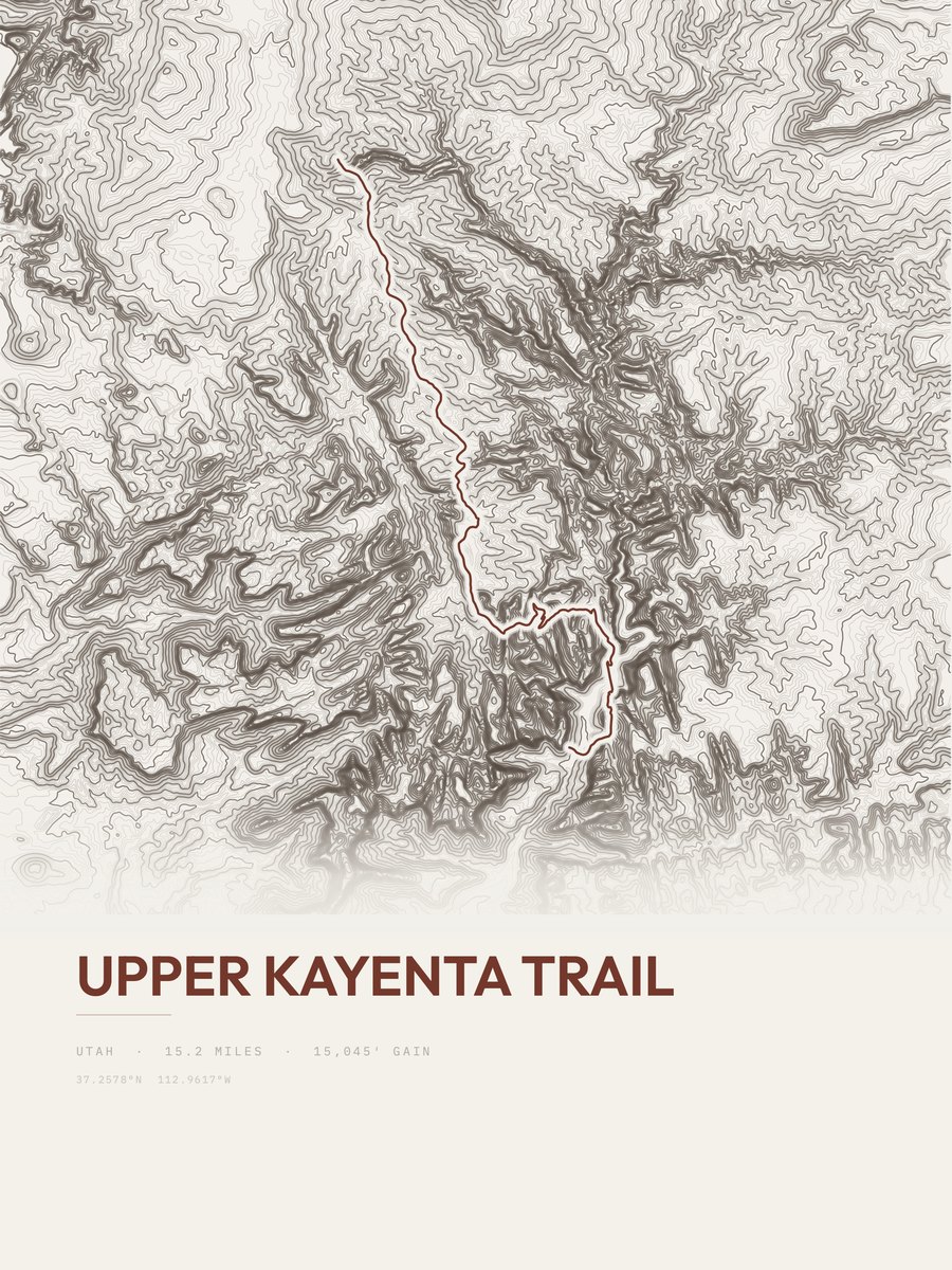
| 9 | Upper Kayenta TrailZion NP | 15.2 | 4,032 | 265 | 4,238 to 7,350 | 350.1 | ||
| 10 | West Rim TrailZion NP | 14.7 | 3,981 | 271 | 78% | 4,338 to 7,453 | 342.1 | |
| 11 | Halls Creek and Narrows RouteCapitol Reef NP | 23.7 | 2,455 | 104 | 52% | 3,929 to 5,283 | 341.1 | |
| 12 | Wildcat Trail | 11 | 5,192 | 472 | 46% | 7,173 to 10,118 | 338 | |
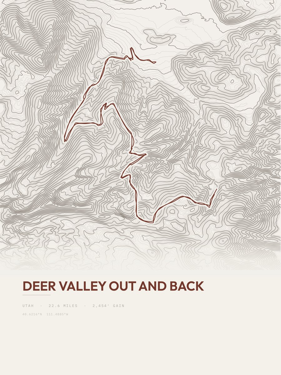
| 13 | Deer ValleySalt Lake City and Wasatch Front | 22.6 | 2,454 | 109 | 20% | 6,960 to 8,490 | 333 | |
| 14 | Broads Fork Twin PeaksSalt Lake City and Wasatch Front | 9.6 | 5,325 | 555 | 78% | 6,254 to 11,276 | 319.7 | |
| 15 | Lone PeakSalt Lake City and Wasatch Front | 7.6 | 6,566 | 864 | 54% | 4,787 to 11,208 | 315.9 | |
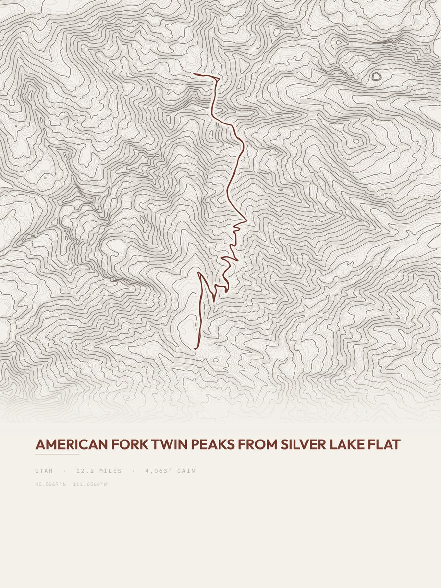
| 16 | American Fork Twin PeaksSalt Lake City and Wasatch Front | 12.2 | 4,063 | 333 | 63% | 7,546 to 11,335 | 314.9 | |
| 17 | Under the Rim TrailBryce Canyon NP | 11.4 | 4,347 | 381 | 53% | 6,749 to 8,041 | 314.8 | |
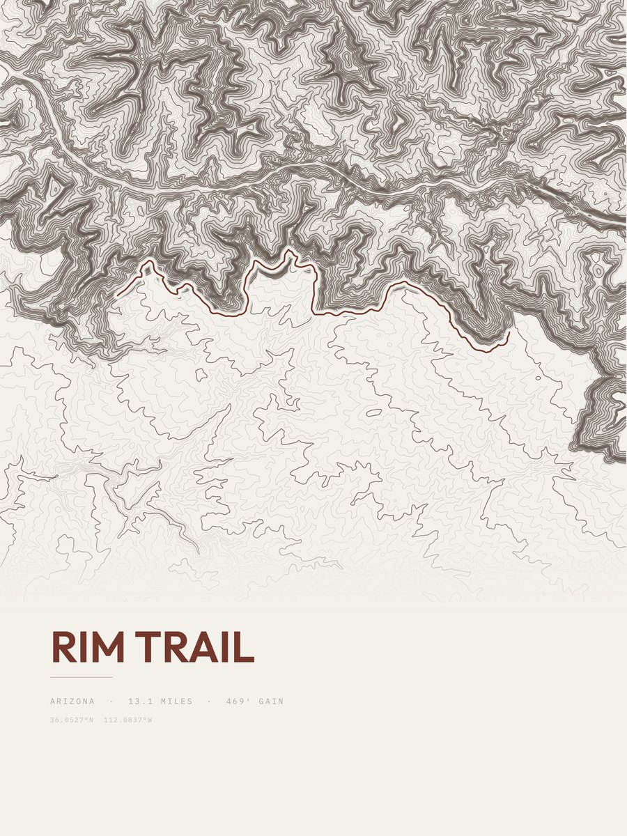
| 18 | Rim Trail | 10.6 | 4,467 | 421 | 66% | 9,899 to 11,018 | 307.7 | |
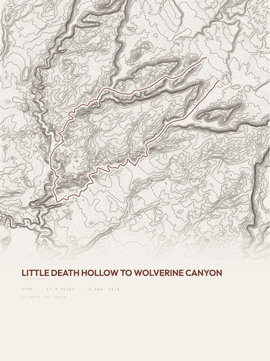
| 19 | Wolverine CanyonSouthwestern Utah | 17.9 | 2,564 | 143 | 63% | 4,931 to 5,703 | 303 | |
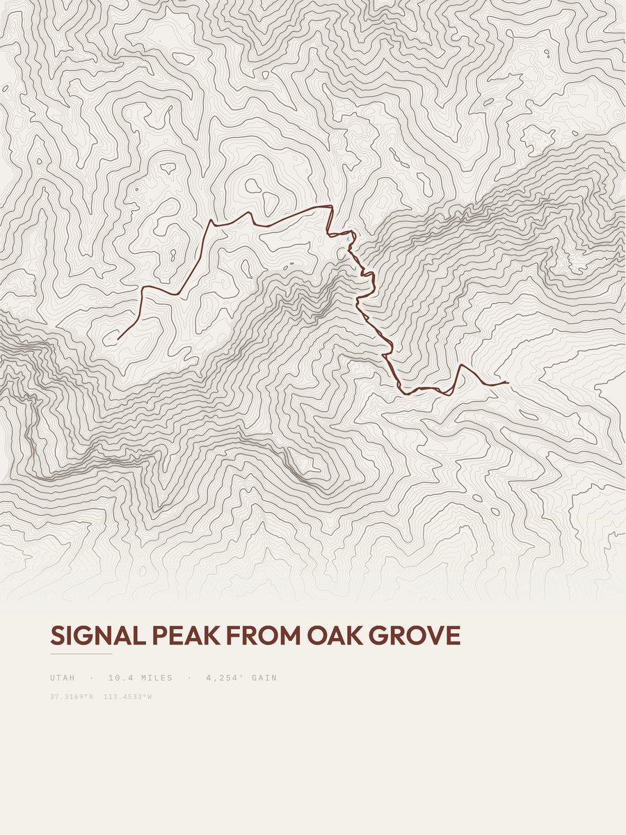
| 20 | Signal PeakSouthwestern Utah | 10.4 | 4,254 | 409 | 52% | 6,550 to 10,337 | 297.5 | |
| 21 | Upper Spring CanyonCapitol Reef NP | 7.9 | 4,869 | 616 | 5,873 to 7,496 | 277.4 | ||
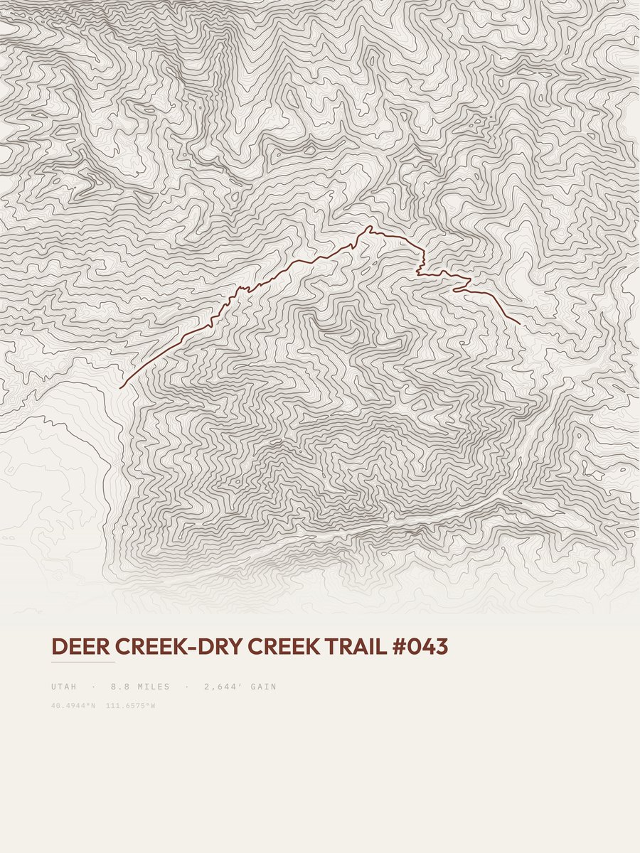
| 22 | Deer Creek-Dry Creek TrailSalt Lake City and Wasatch Front | 8.8 | 3,994 | 454 | 37% | 5,675 to 9,620 | 265.1 | |
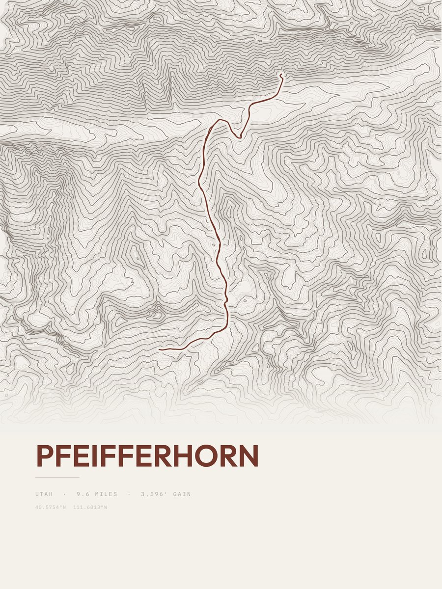
| 23 | PfeifferhornSalt Lake City and Wasatch Front | 9.6 | 3,596 | 375 | 51% | 7,658 to 11,248 | 262.8 | |
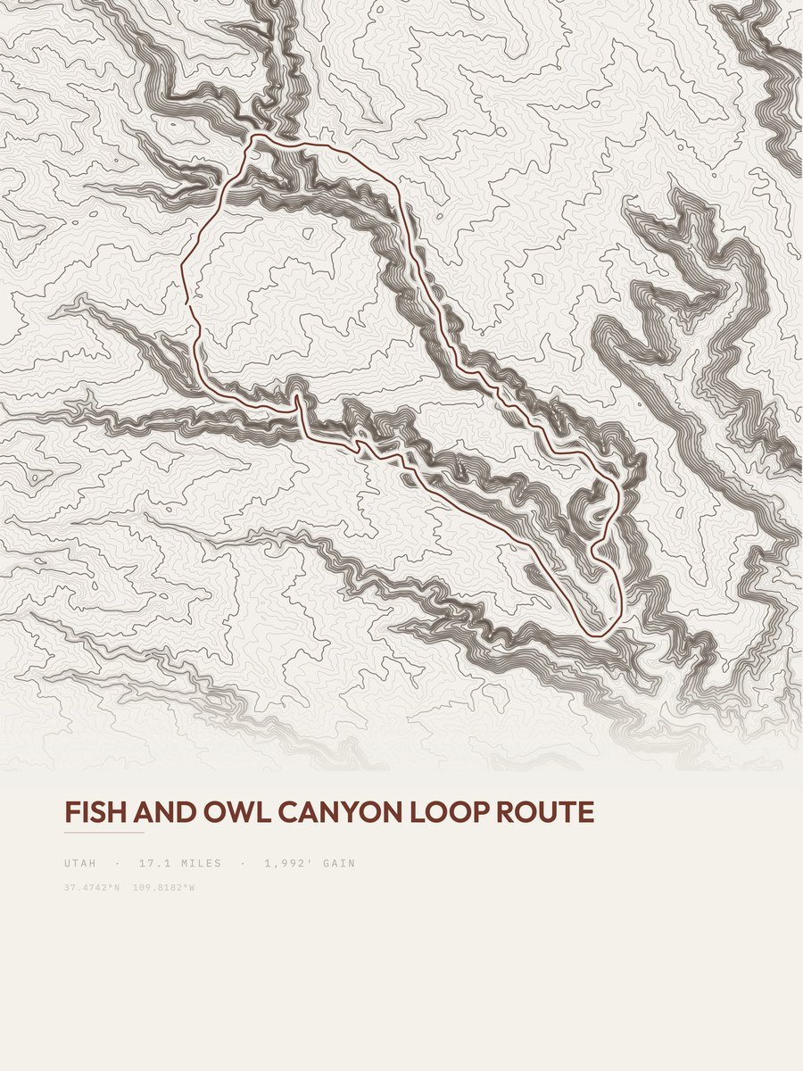
| 24 | Fish and Owl Canyon Loop RouteSoutheastern Utah | 17.1 | 1,992 | 116 | 65% | 4,858 to 6,279 | 261 | |
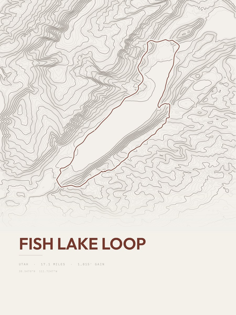
| 25 | Fish Lake LoopSouthwestern Utah | 17.1 | 1,815 | 106 | 28% | 8,849 to 10,009 | 249.1 |










How this list is ranked
Rating = the square root of 2 x elevation gain (ft) x distance (miles), the gain-and-distance formula Shenandoah National Park publishes for its own trails. Bands: under 50 easiest, 50 to 100 moderate, 100 to 150 moderately strenuous, 150 to 200 strenuous, 200 and over very strenuous.
This list: band strenuous (150 to 200) or very strenuous (200 and over), 3 to 30 miles, at least 1,500 ft of gain, ordered by rating desc, gain per mile desc, capped at 25. The rating column is computed from the miles and gain printed in the same row, the numbers each trail page uses, so every row can be checked from the row itself. The rating says nothing about exposure, scrambling, altitude or conditions.
Only trails with a full page count, so "Utah" here means the 371 trails in Utah in our dataset, not every trail in Utah.
Each trail page shows the full elevation profile behind these numbers and the same data drawn as a topographic print, made to order. Start with Great Western Trail.
Hardest hikes elsewhere.
The same ranking for other states in our dataset.