The hardest hikes in Banff National Park, by the numbers
Of the 207 trails in Banff National Park in our dataset, 41 (20 percent) rate strenuous or very strenuous on the gain-and-distance scale we use and run 3 to 30 miles with at least 1,500 ft of climb; these are the 25 with the highest rating.
Northover Ridge Figure Eight leads with 5,129 ft of gain over 29.2 miles, 176 ft per mile, with a steepest pitch of 63 percent.
Across the 25, gain runs from 1,828 to 6,191 ft and distance from 3.8 miles to 29.2 miles; the median gain is 4,224 ft and the median distance 7.5 miles.
20 of the 25 are point-to-point routes; the rest are loop (3) or out-and-back (2).
| # | Trail | Miles | Gain (ft) | Ft per mile | Max grade | Elevation (ft) | Rating | Profile |
|---|---|---|---|---|---|---|---|---|
| 1 | Northover Ridge Figure EightSouthwestern Alberta | 29.2 | 5,129 | 176 | 63% | 5,589 to 9,043 | 547.3 | |
| 2 | GDT enj | 19.9 | 6,080 | 306 | 28% | 4,396 to 7,756 | 491.9 | |
| 3 | Great Divide TrailSouthwestern Alberta | 20.6 | 5,333 | 259 | 37% | 5,537 to 9,064 | 468.7 | |
| 4 | Northover Ridge TrailSouthwestern Alberta | 17.2 | 4,293 | 250 | 63% | 5,696 to 9,041 | 384.3 | |
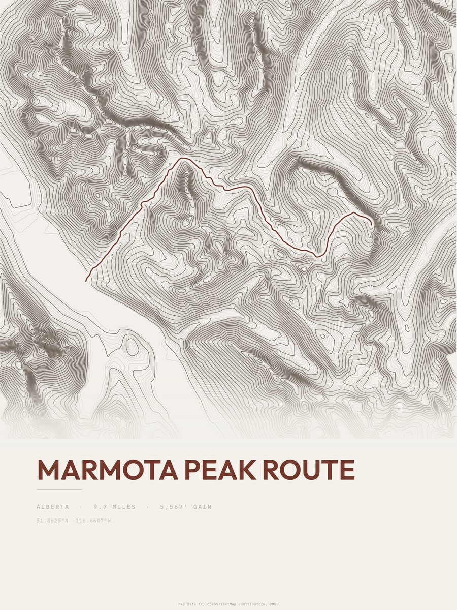
| 5 | Marmota Peak Route | 9.7 | 5,567 | 574 | 49% | 5,512 to 10,200 | 328.6 | |
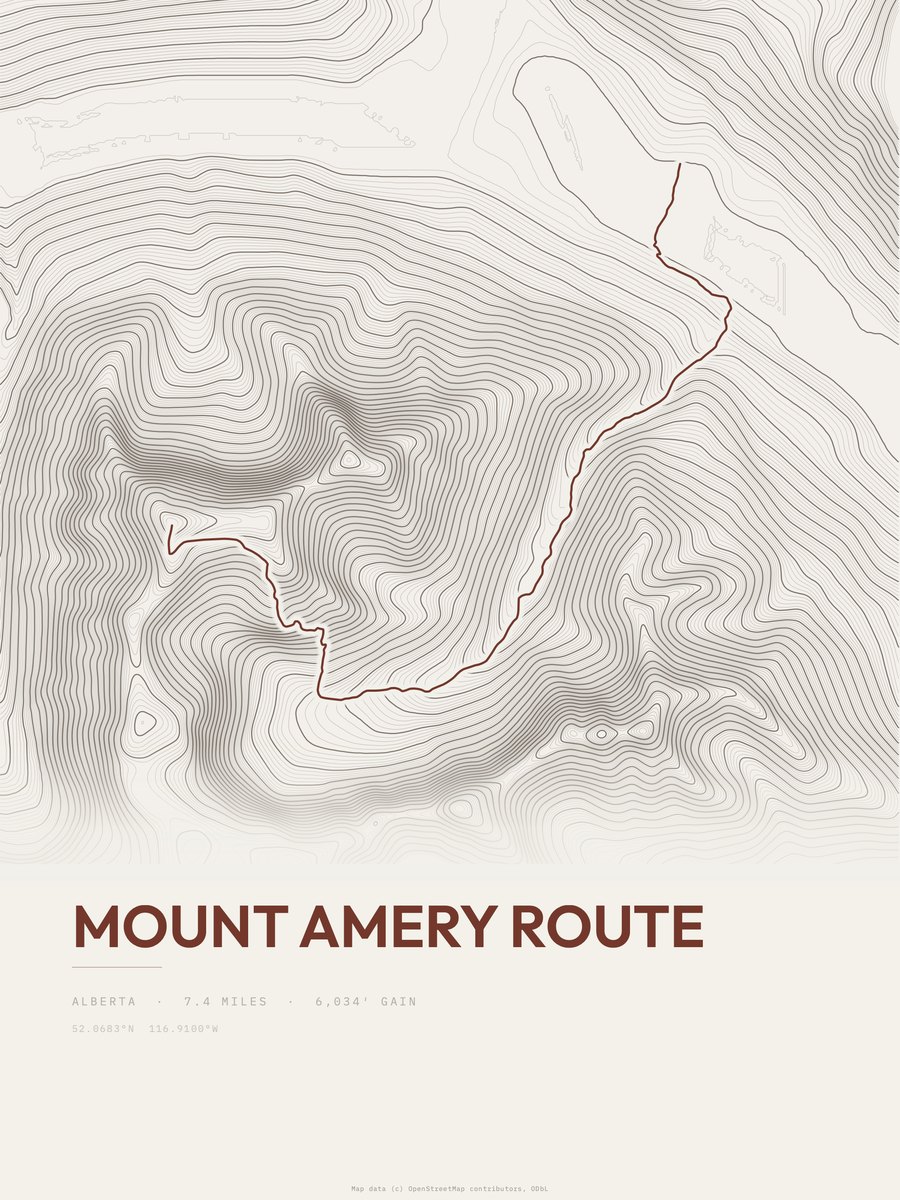
| 6 | Mount Amery Route | 7.4 | 6,191 | 837 | 70% | 4,731 to 10,922 | 302.7 | |
| 7 | Mount Peechee Route | 7.5 | 5,518 | 736 | 72% | 4,954 to 9,482 | 287.7 | |
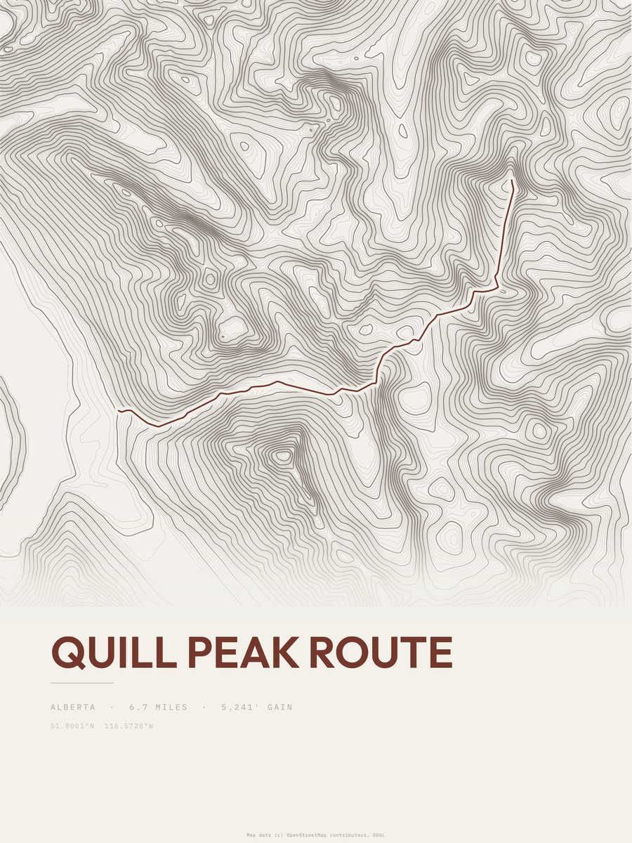
| 8 | Quill Peak Route | 6.7 | 5,241 | 782 | 56% | 5,761 to 10,062 | 265 | |
| 9 | South Boundary TrailSouthwestern Alberta | 18.3 | 1,828 | 100 | 27% | 5,705 to 7,255 | 258.7 | |
| 10 | GDT enm | 15 | 2,176 | 145 | 35% | 6,188 to 7,890 | 255.5 | |
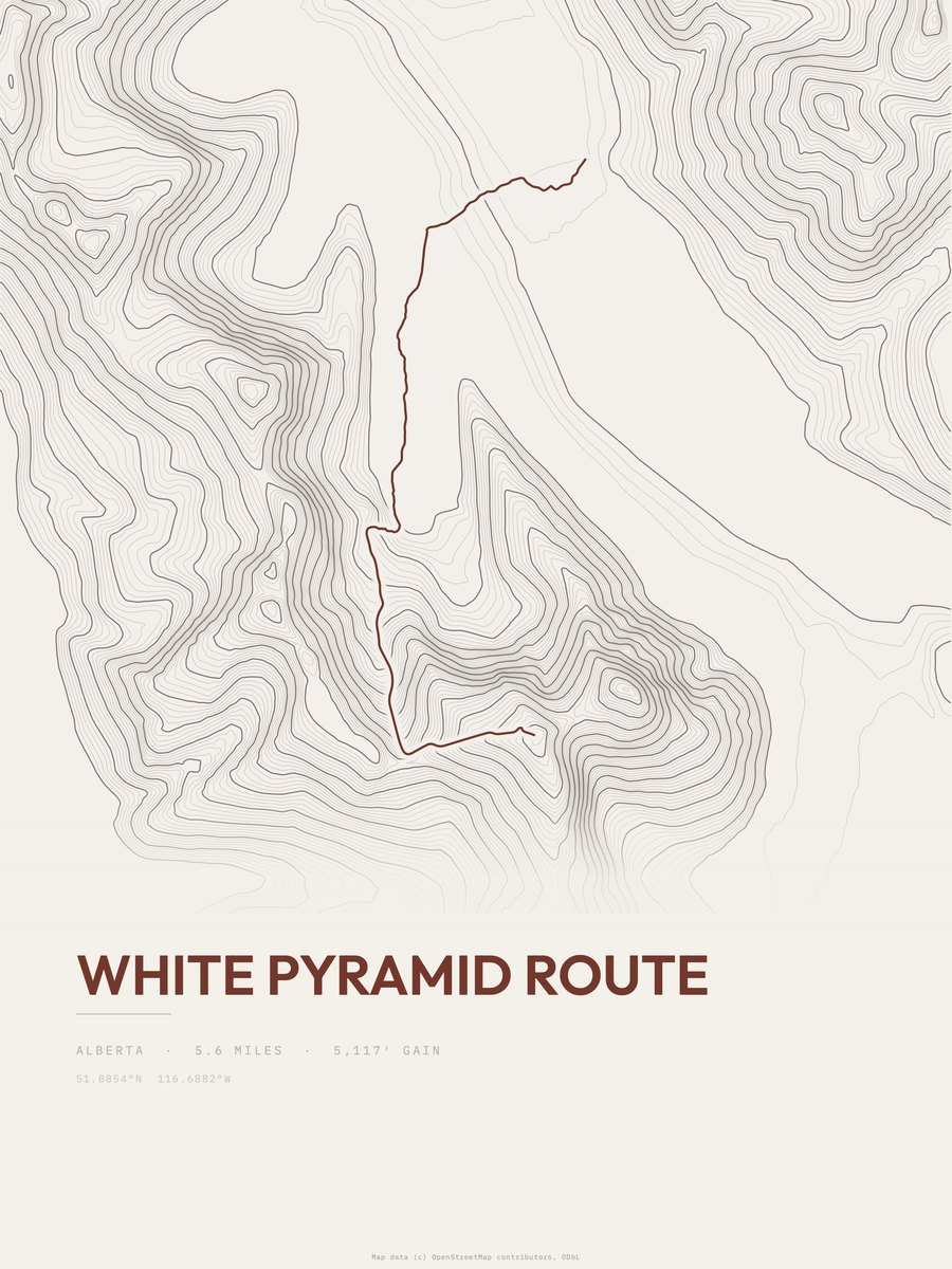
| 11 | White Pyramid Route | 5.6 | 5,302 | 947 | 49% | 5,443 to 10,745 | 243.7 | |
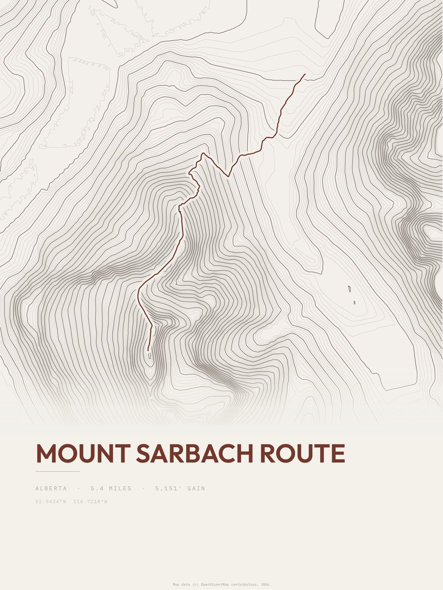
| 12 | Mount Sarbach Route | 5.4 | 5,443 | 1,008 | 60% | 4,908 to 10,351 | 242.5 | |
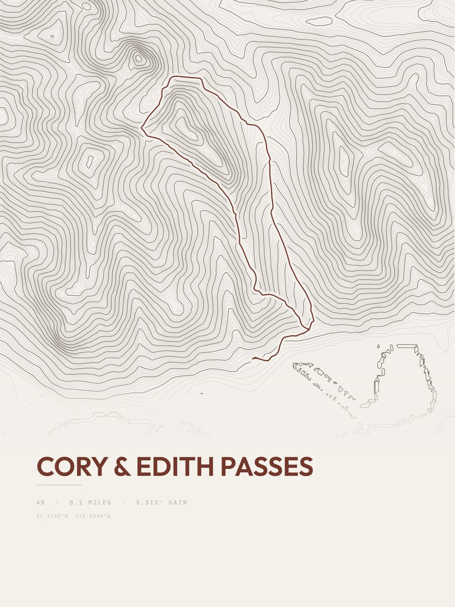
| 13 | Cory & Edith PassesSouthwestern Alberta | 8.1 | 3,312 | 409 | 54% | 4,651 to 7,771 | 231.6 | |
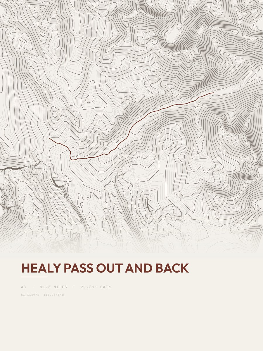
| 14 | Healy PassSouthwestern Alberta | 11.6 | 2,181 | 188 | 21% | 5,595 to 7,622 | 224.9 | |
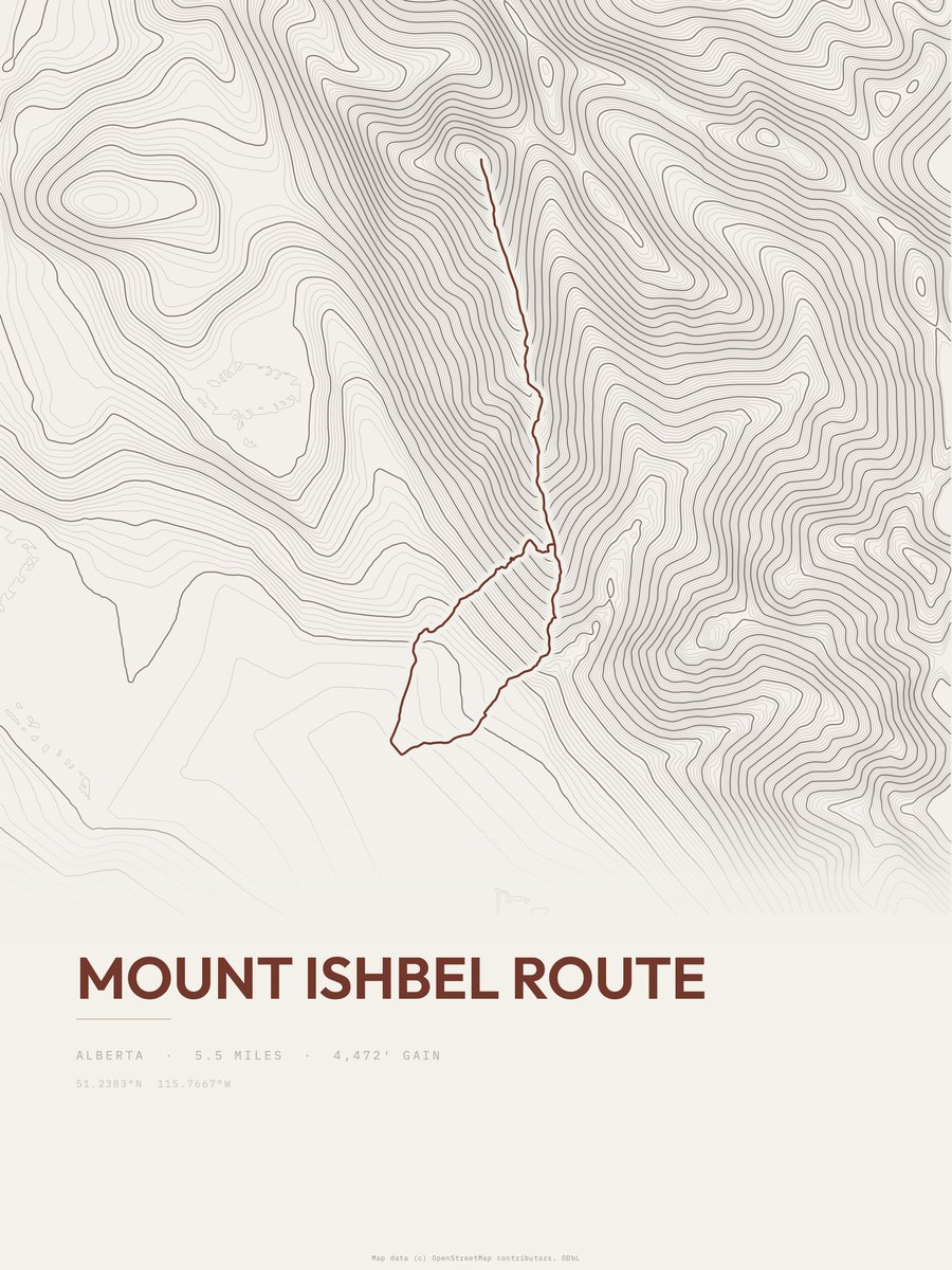
| 15 | Mount Ishbel Route | 5.5 | 4,472 | 813 | 46% | 4,619 to 9,134 | 221.8 | |
| 16 | Plain of Six GlaciersSouthwestern Alberta | 9.2 | 2,569 | 279 | 46% | 5,797 to 7,174 | 217.4 | |
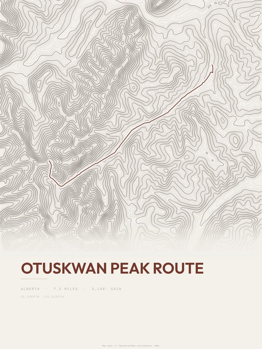
| 17 | Otuskwan Peak Route | 7.5 | 3,148 | 420 | 54% | 5,358 to 8,517 | 217.3 | |
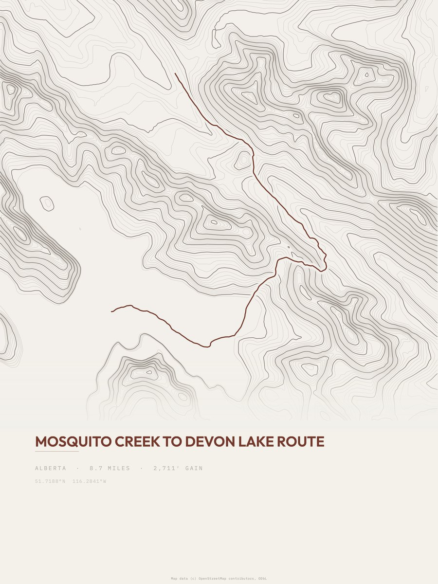
| 18 | Devon Lake Route | 8.7 | 2,711 | 312 | 42% | 6,447 to 8,504 | 217.2 | |
| 19 | Wind RidgeSouthwestern Alberta | 8.5 | 2,484 | 292 | 60% | 4,620 to 6,932 | 205.5 | |
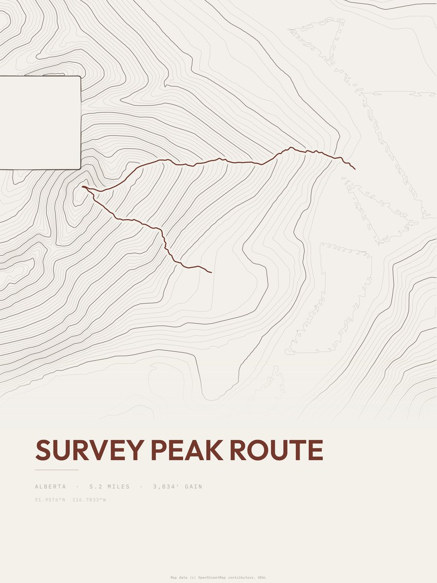
| 20 | Survey Peak Route | 5.2 | 3,990 | 767 | 59% | 4,760 to 8,750 | 203.7 | |
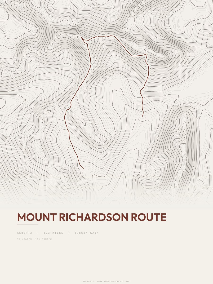
| 21 | Mount Richardson Route | 5.3 | 3,868 | 730 | 84% | 7,277 to 10,125 | 202.5 | |
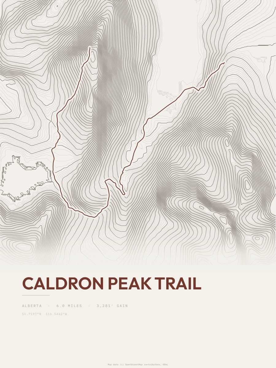
| 22 | Caldron Peak Trail | 6 | 3,281 | 547 | 37% | 6,168 to 9,334 | 198.4 | |
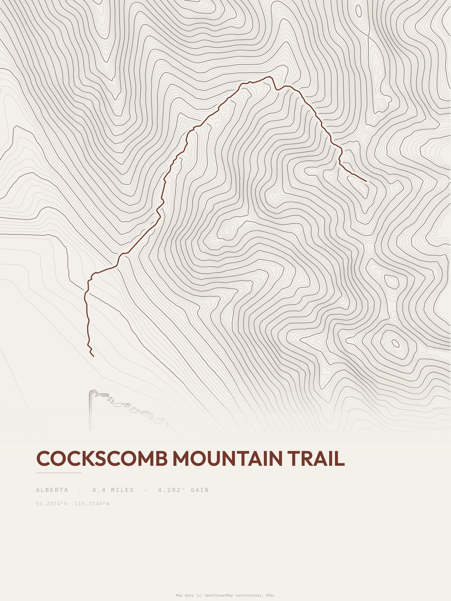
| 23 | Cockscomb Mountain Trail | 4.4 | 4,202 | 955 | 56% | 4,642 to 8,835 | 192.3 | |
| 24 | Mount Rundle Route | 3.8 | 4,667 | 1,228 | 58% | 4,695 to 9,331 | 188.3 | |
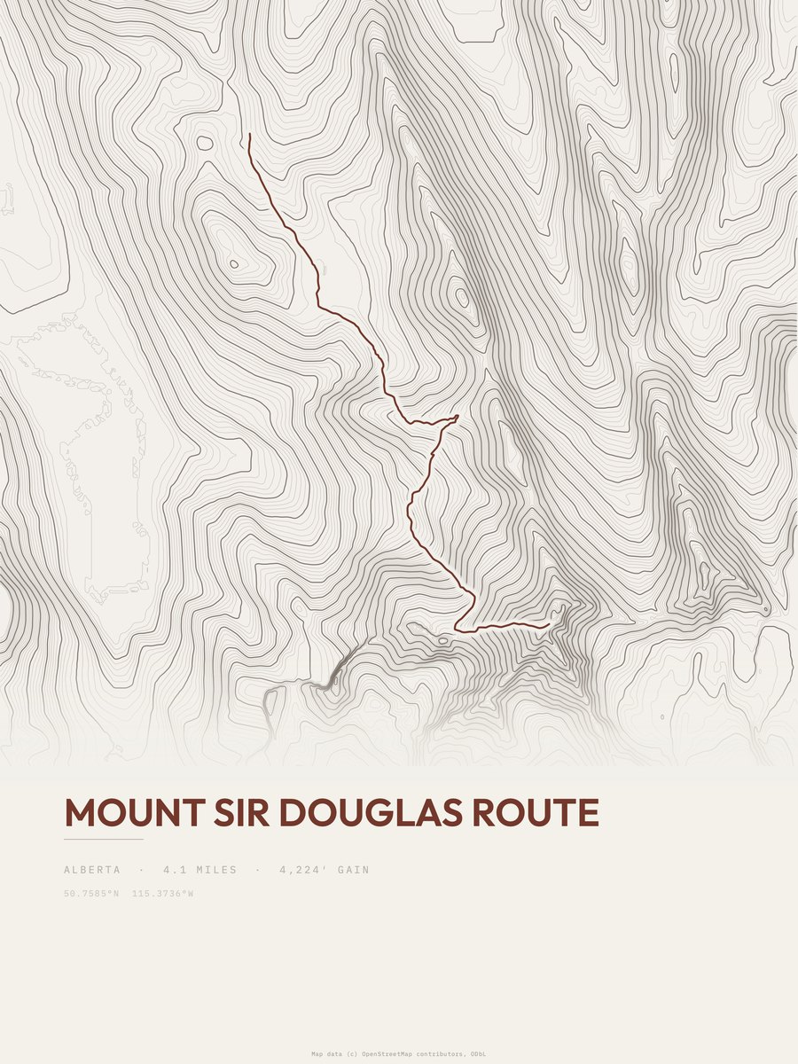
| 25 | Mount Sir Douglas Route | 4.1 | 4,224 | 1,030 | 91% | 7,664 to 11,175 | 186.1 |








How this list is ranked
Rating = the square root of 2 x elevation gain (ft) x distance (miles), the gain-and-distance formula Shenandoah National Park publishes for its own trails. Bands: under 50 easiest, 50 to 100 moderate, 100 to 150 moderately strenuous, 150 to 200 strenuous, 200 and over very strenuous.
This list: band strenuous (150 to 200) or very strenuous (200 and over), 3 to 30 miles, at least 1,500 ft of gain, ordered by rating desc, gain per mile desc, capped at 25. The rating column is computed from the miles and gain printed in the same row, the numbers each trail page uses, so every row can be checked from the row itself. The rating says nothing about exposure, scrambling, altitude or conditions.
Only trails with a full page count, so "Banff National Park" here means the 207 trails in Banff National Park in our dataset, not every trail in Banff National Park.
Each trail page shows the full elevation profile behind these numbers and the same data drawn as a topographic print, made to order. Start with Northover Ridge Figure Eight.
Hardest hikes elsewhere.
The same ranking for other parks in our dataset.