The hardest hikes in Olympic National Park, by the numbers
Of the 182 trails in Olympic National Park in our dataset, 72 (40 percent) rate strenuous or very strenuous on the gain-and-distance scale we use and run 3 to 30 miles with at least 1,500 ft of climb; these are the 25 with the highest rating.
Lacrosse Pass Trail leads with 11,412 ft of gain over 21.3 miles, 536 ft per mile, with a steepest pitch of 88 percent.
Across the 25, gain runs from 3,552 to 13,140 ft and distance from 8.4 miles to 26.7 miles; the median gain is 5,951 ft and the median distance 14.7 miles.
21 of the 25 are point-to-point routes; the rest are out-and-back (1) or loop (3).
| # | Trail | Miles | Gain (ft) | Ft per mile | Max grade | Elevation (ft) | Rating | Profile |
|---|---|---|---|---|---|---|---|---|
| 1 | Lacrosse Pass Trail | 21.3 | 11,412 | 536 | 88% | 393 to 5,574 | 697.2 | |
| 2 | North Fork Skokomish River Trail | 16.9 | 12,852 | 760 | 77% | 1,402 to 5,932 | 659.1 | |
| 3 | Dosewallips River Trail | 15.5 | 13,140 | 848 | 78% | 1,768 to 6,616 | 638.2 | |
| 4 | Hoh River Trail | 14 | 12,793 | 914 | 992 to 5,768 | 598.5 | ||
| 5 | Barnes Creek Trail | 14.7 | 9,849 | 670 | 584 to 4,683 | 538.1 | ||
| 6 | Skyline Ridge TrailOlympic Peninsula | 20.3 | 6,267 | 309 | 59% | 3,134 to 5,296 | 504.4 | |
| 7 | Little River Trail | 12.7 | 9,709 | 764 | 86% | 445 to 5,069 | 496.6 | |
| 8 | Elwha River TrailOlympic Peninsula | 26.7 | 3,922 | 147 | 32% | 1,104 to 3,638 | 457.6 | |
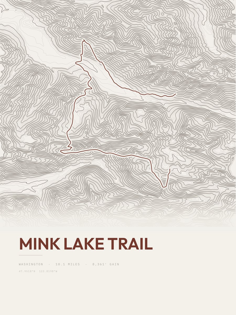
| 9 | Mink Lake Trail | 10.1 | 8,361 | 828 | 99% | 1,585 to 4,537 | 411 | |
| 10 | Hoh River TrailOlympic Peninsula | 17.1 | 4,897 | 286 | 32% | 681 to 5,089 | 409.2 | |
| 11 | Graves Creek Primitive Trail | 9.1 | 8,973 | 986 | 788 to 4,819 | 404.1 | ||
| 12 | Aurora Ridge TrailOlympic Peninsula | 16.5 | 4,798 | 291 | 26% | 1,376 to 4,945 | 397.9 | |
| 13 | Gladys DivideOlympic Peninsula | 17.6 | 4,331 | 246 | 73% | 841 to 4,959 | 390.4 | |
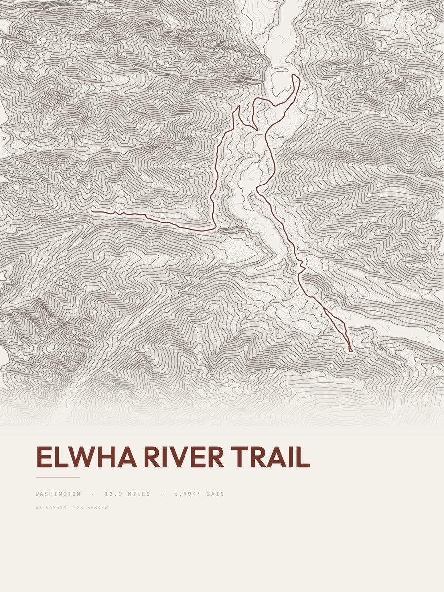
| 14 | Elwha River Trail | 12 | 5,994 | 500 | 57% | 306 to 1,827 | 379.3 | |
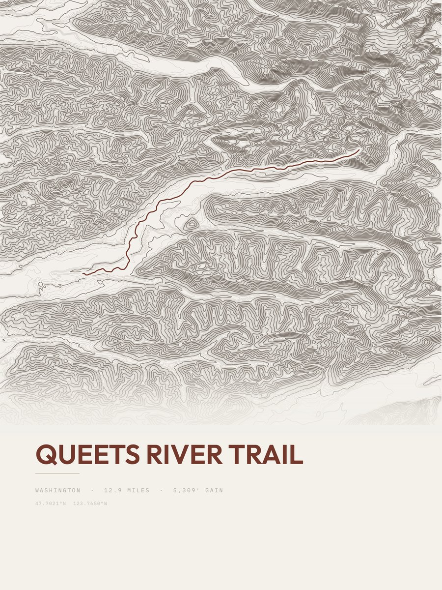
| 15 | Queets River Trail | 12.9 | 5,309 | 412 | 385 to 3,713 | 370.1 | ||
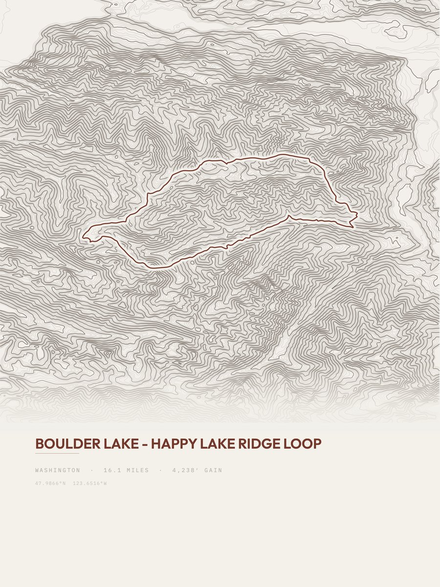
| 16 | Boulder LakeOlympic Peninsula | 16.1 | 4,238 | 263 | 57% | 1,723 to 5,272 | 369.4 | |
| 17 | High Divide LoopOlympic Peninsula | 17.6 | 3,739 | 212 | 25% | 1,981 to 5,331 | 362.8 | |
| 18 | East Fork Quinault TrailOlympic Peninsula | 18 | 3,552 | 197 | 31% | 628 to 3,253 | 357.6 | |
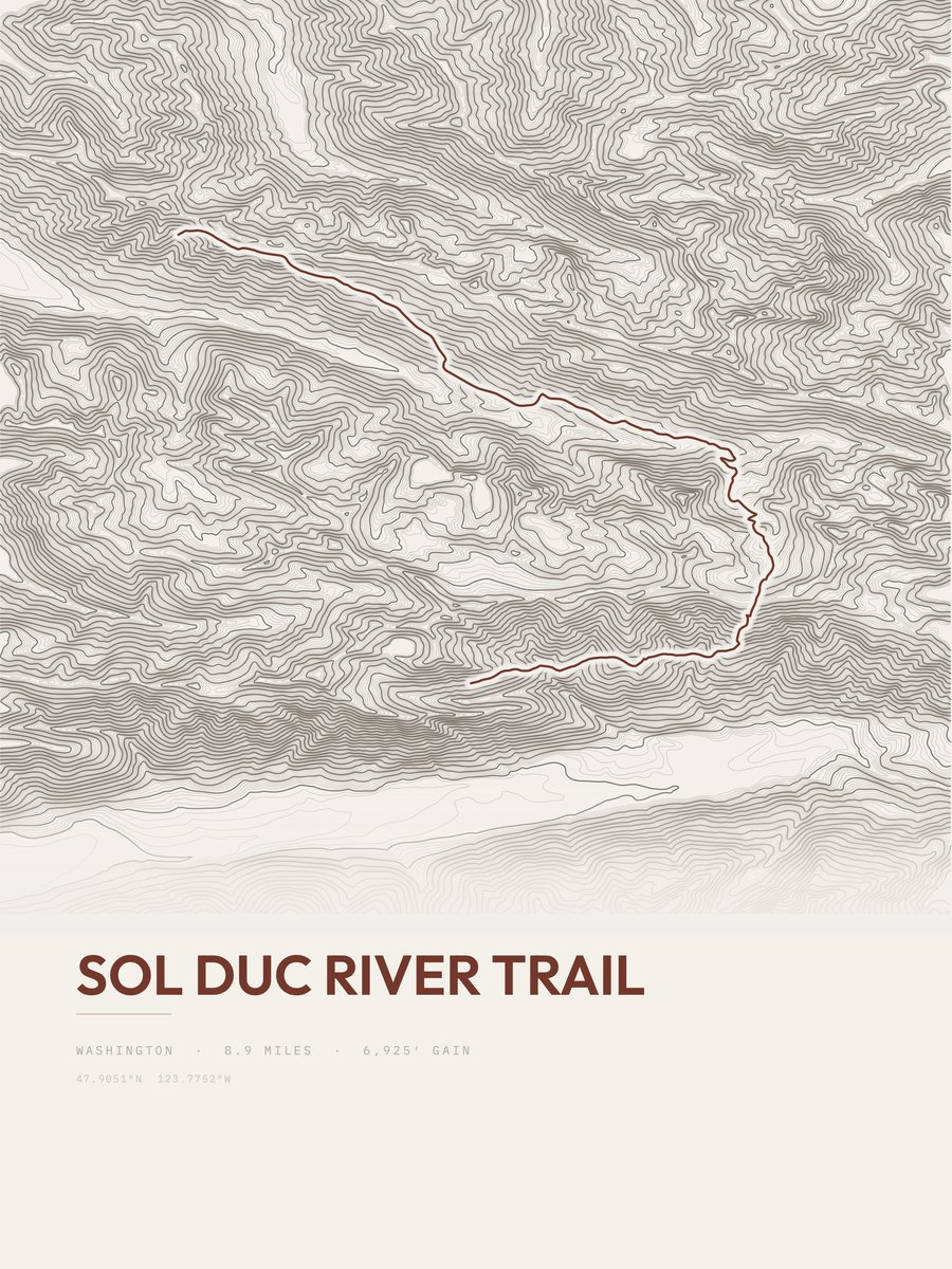
| 19 | Sol Duc River Trail | 8.9 | 6,925 | 778 | 88% | 2,533 to 5,068 | 351.1 | |
| 20 | Bailey Range RouteOlympic Peninsula | 13.4 | 4,574 | 341 | 44% | 4,299 to 6,007 | 350.1 | |
| 21 | North Fork Skokomish River TrailOlympic Peninsula | 14.7 | 4,140 | 282 | 38% | 835 to 4,652 | 348.9 | |
| 22 | North Fork Quinault River TrailOlympic Peninsula | 15.8 | 3,848 | 244 | 21% | 497 to 3,548 | 348.7 | |
| 23 | Heather Park LoopOlympic Peninsula | 11.8 | 4,730 | 401 | 54% | 1,848 to 6,033 | 334.1 | |
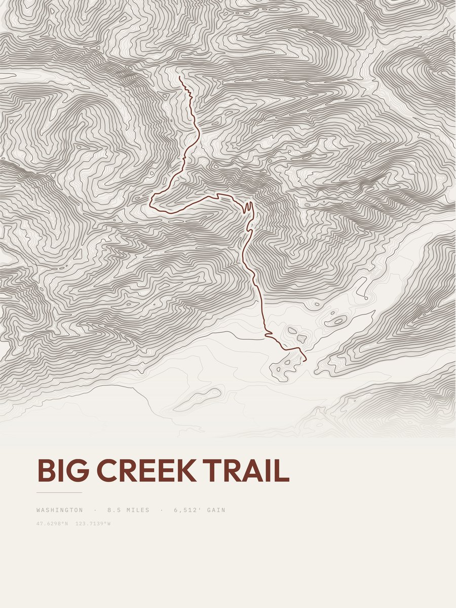
| 24 | Big Creek Trail | 8.5 | 6,512 | 766 | 84% | 438 to 4,134 | 332.7 | |
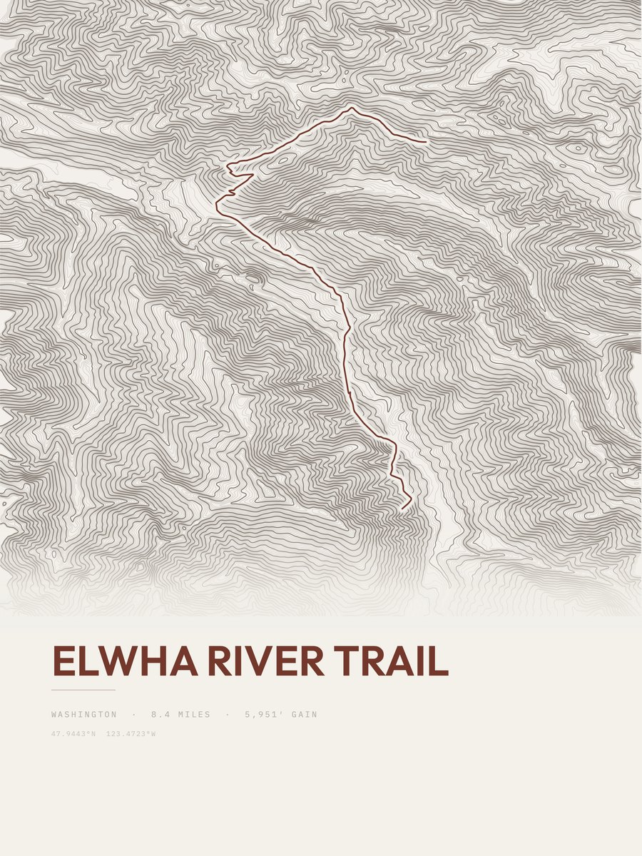
| 25 | Elwha River Trail | 8.4 | 5,951 | 708 | 86% | 1,240 to 4,224 | 316.2 |








How this list is ranked
Rating = the square root of 2 x elevation gain (ft) x distance (miles), the gain-and-distance formula Shenandoah National Park publishes for its own trails. Bands: under 50 easiest, 50 to 100 moderate, 100 to 150 moderately strenuous, 150 to 200 strenuous, 200 and over very strenuous.
This list: band strenuous (150 to 200) or very strenuous (200 and over), 3 to 30 miles, at least 1,500 ft of gain, ordered by rating desc, gain per mile desc, capped at 25. The rating column is computed from the miles and gain printed in the same row, the numbers each trail page uses, so every row can be checked from the row itself. The rating says nothing about exposure, scrambling, altitude or conditions.
Only trails with a full page count, so "Olympic National Park" here means the 182 trails in Olympic National Park in our dataset, not every trail in Olympic National Park.
Each trail page shows the full elevation profile behind these numbers and the same data drawn as a topographic print, made to order. Start with Lacrosse Pass Trail.
Hardest hikes elsewhere.
The same ranking for other parks in our dataset.