Within 37 mi of Bailey, Colorado · 16 trails
Trails near Bailey, as prints.
The country around Bailey has 16 trails with full pages in our collection, 146 miles of trail in all, Mount Bierstadt - West Slopes and Kenosha Pass among them. The longest is Lost Creek Wilderness Loop at 29.2 miles; the biggest climb is Georgia Pass to Argentine Pass, 6,930 ft of gain. 7 are under 5 miles, so there is a short day here too. Each one is a custom topographic print drawn from the route's real elevation data, every switchback and every foot of climb, made to order. Every print from $39, free US shipping.
StateAll Colorado trails

Mount Bierstadt - West Slopes
Central Rockies
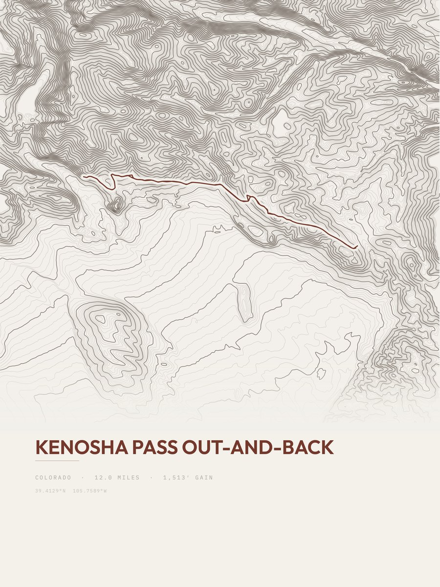
Kenosha Pass
Central Rockies
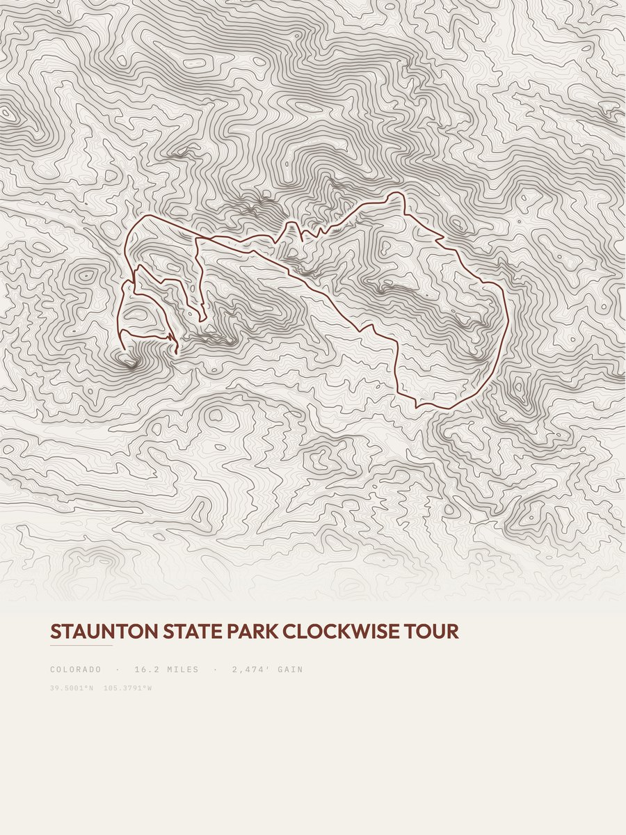
Staunton State Park
Front Range
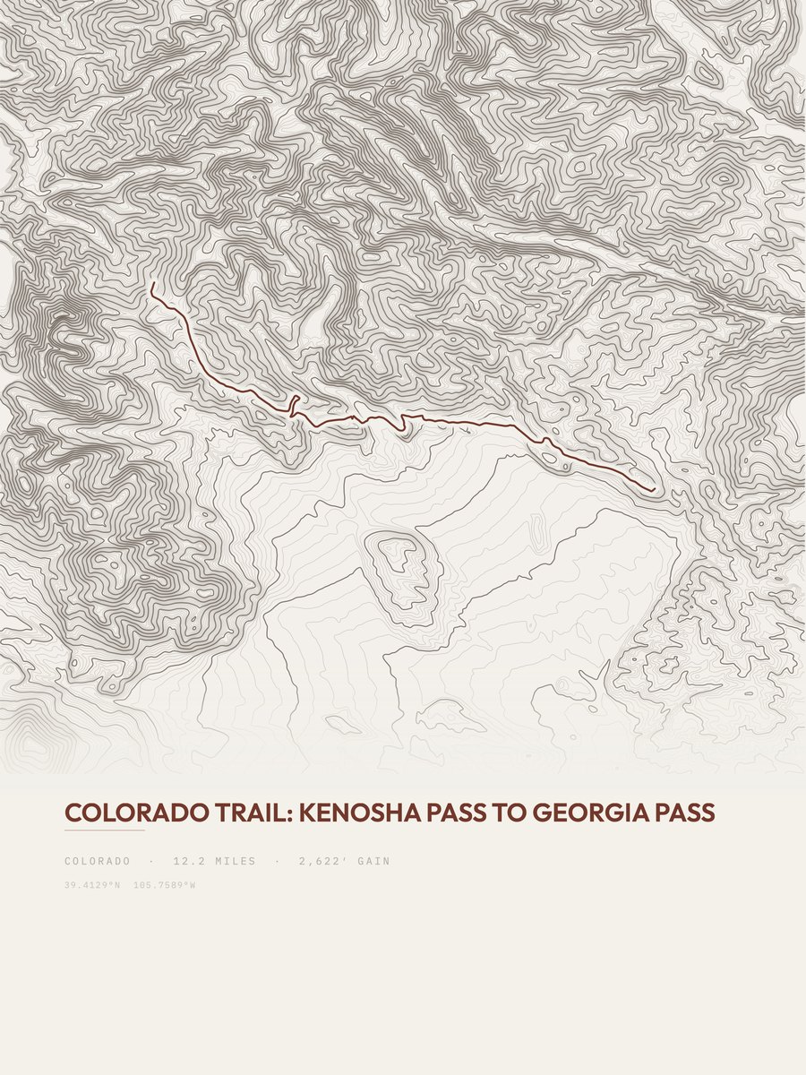
Colorado Trail
Central Rockies

Mount Evans Route
Central Rockies
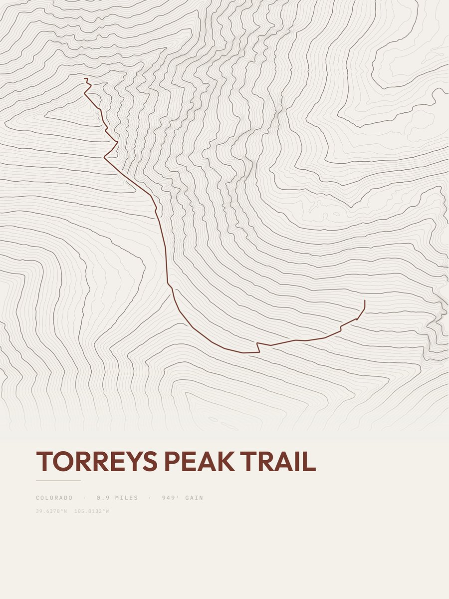
Torreys Peak Trail
Central Rockies
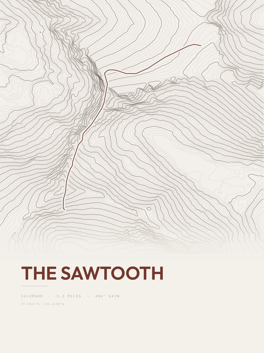
The Sawtooth
Central Rockies
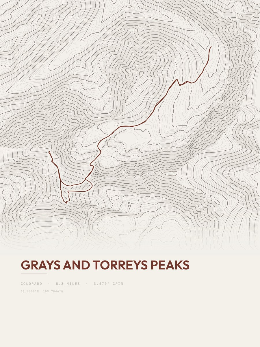
Grays and Torreys Peaks
Central Rockies
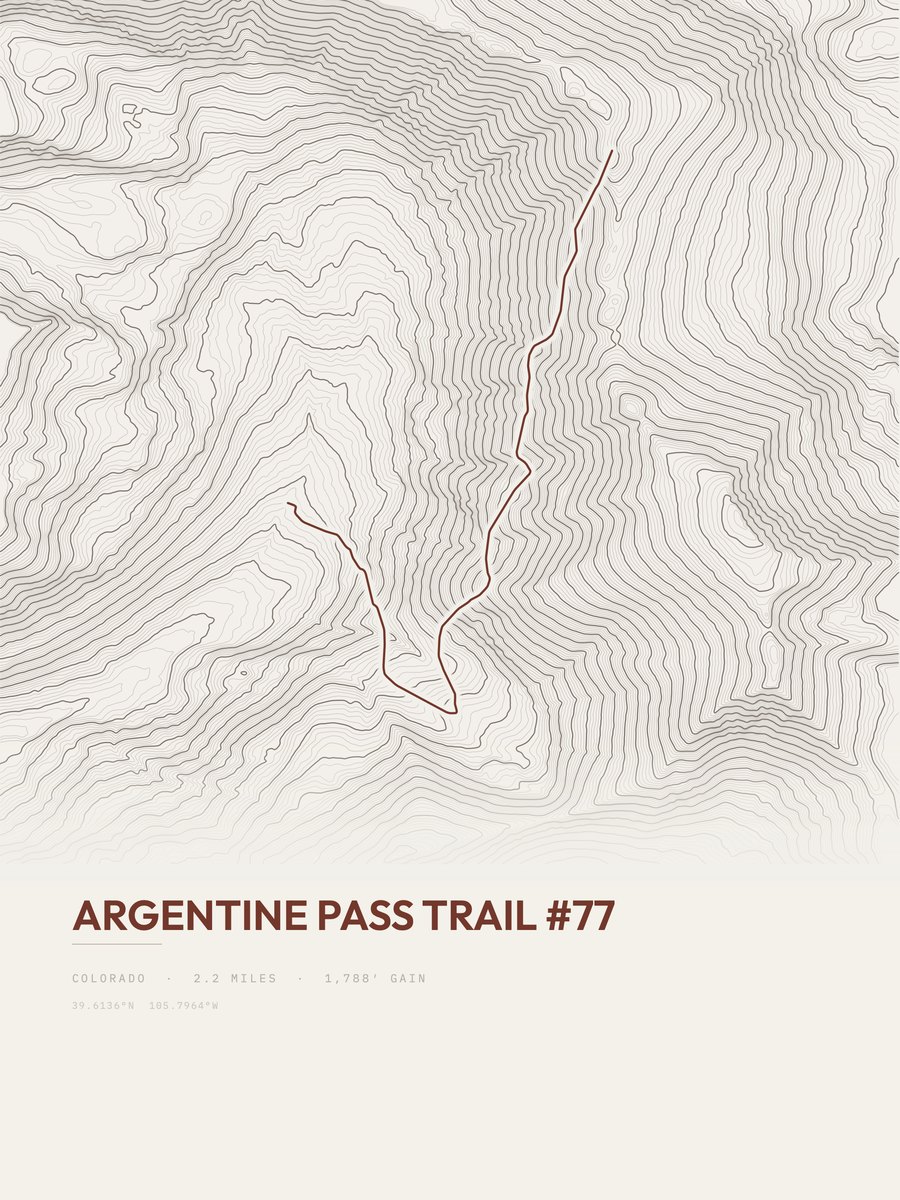
Argentine Pass Trail
Central Rockies
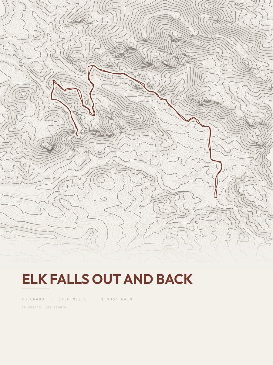
Elk Falls
Front Range
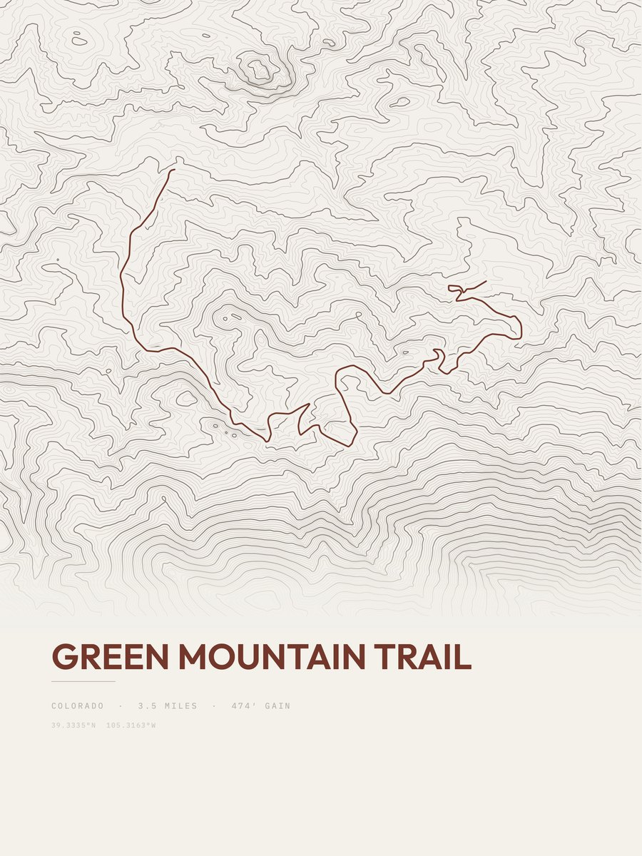
Green Mountain Trail
Front Range
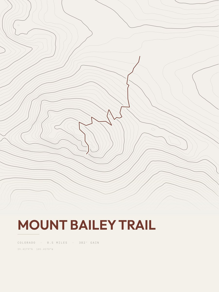
Mount Bailey Trail
Front Range

Georgia Pass to Argentine Pass
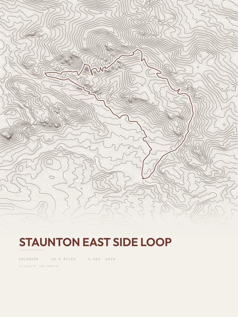
Staunton East Side Loop
Front Range
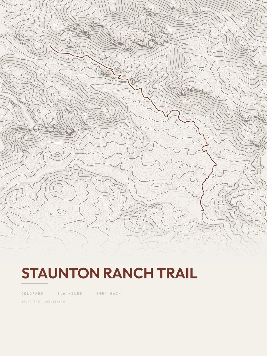
Staunton Ranch Trail
Front Range

Lost Creek Wilderness Loop
Central Rockies