Within 37 mi of Boulder, Colorado · 56 trails
Trails near Boulder, as prints.
The country around Boulder has 56 trails with full pages in our collection, 366 miles of trail in all, Rollins Pass and Caribou Ranch among them. The longest is Rollins Pass (aka Corona Pass) at 35.7 miles; the biggest climb is Pawnee-Buchanan Loop, 6,632 ft of gain. 31 are under 5 miles, so there is a short day here too. Each one is a custom topographic print drawn from the route's real elevation data, every switchback and every foot of climb, made to order. Every print from $39, free US shipping.
StateAll Colorado trails

Rollins Pass
Central Rockies

Caribou Ranch
Front Range
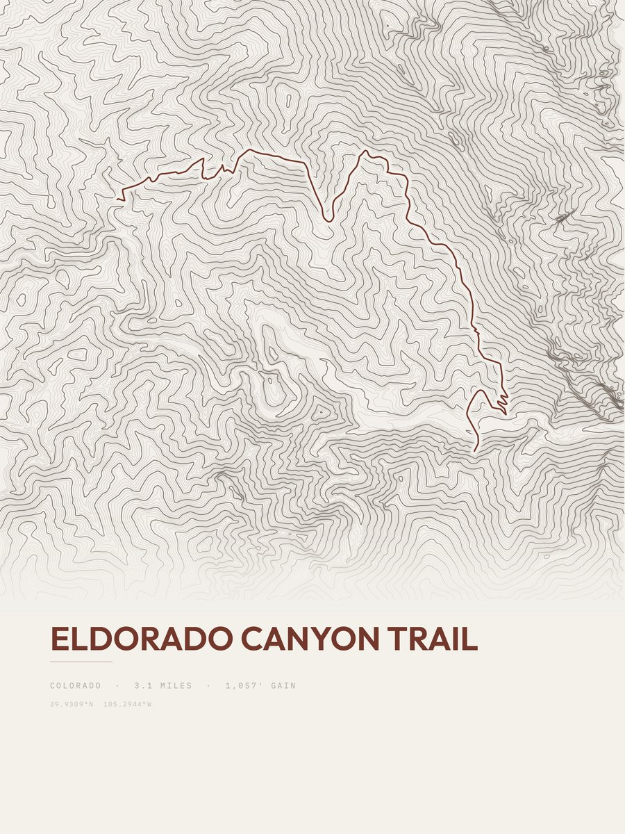
Eldorado Canyon Trail
Front Range
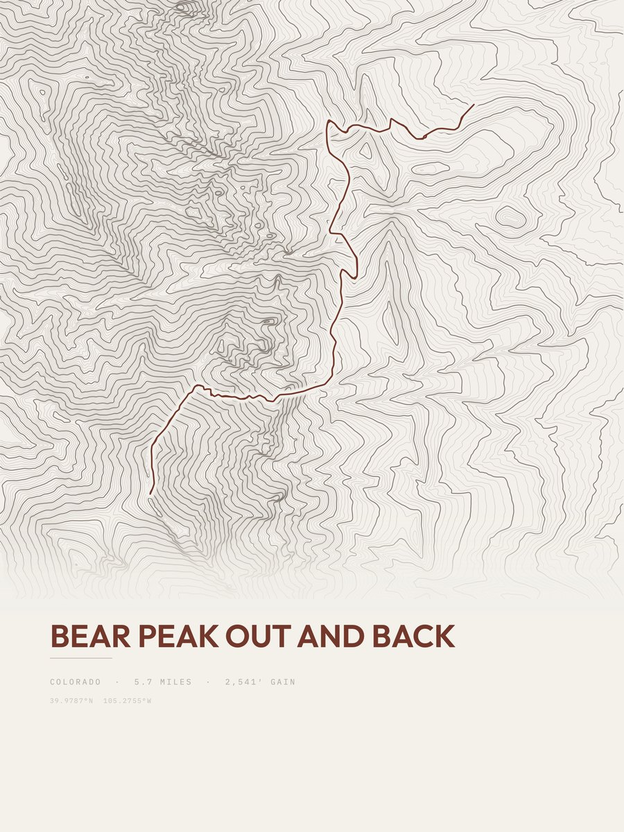
Bear Peak
Front Range
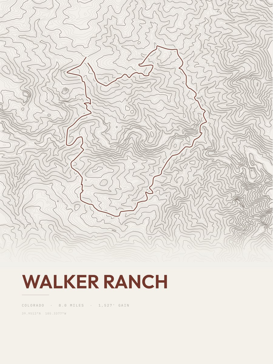
Walker Ranch
Front Range
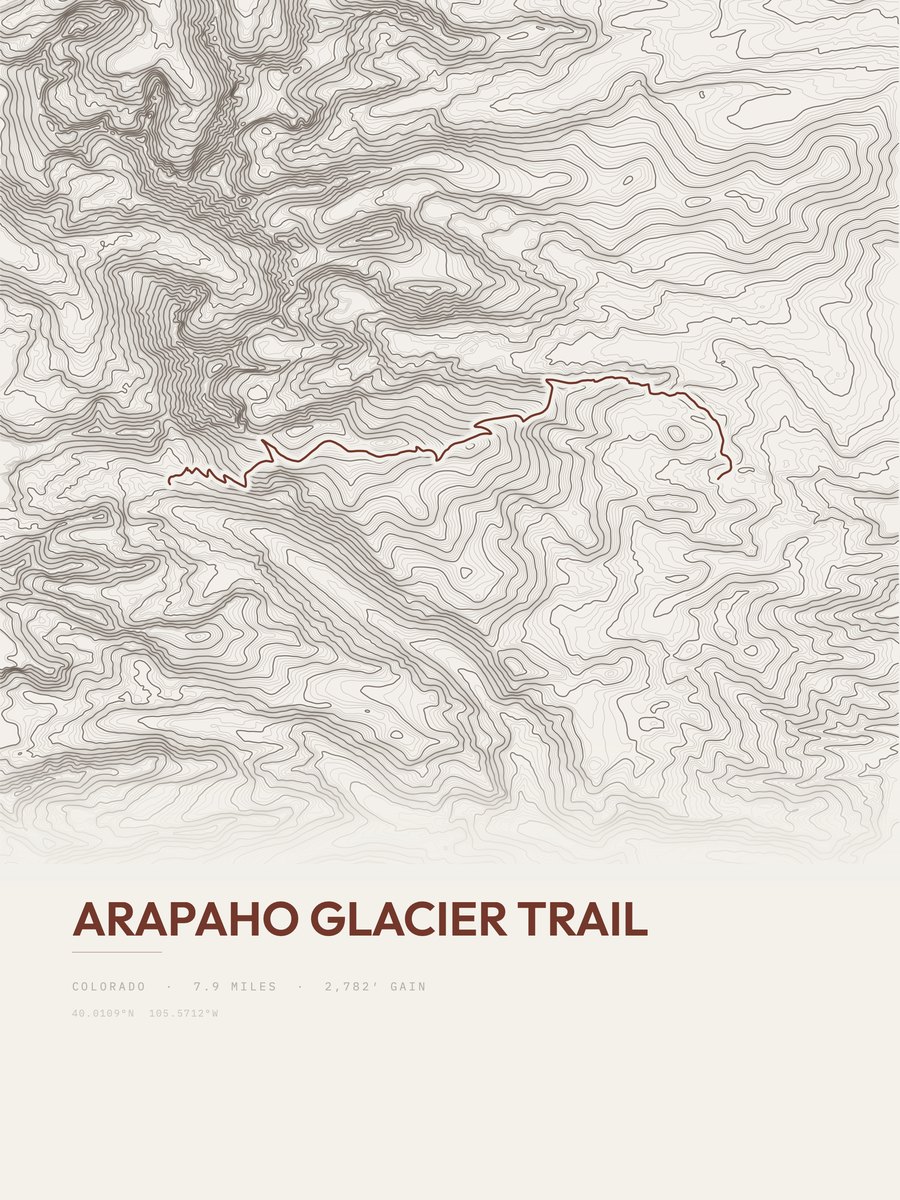
Arapaho Glacier Trail
Front Range
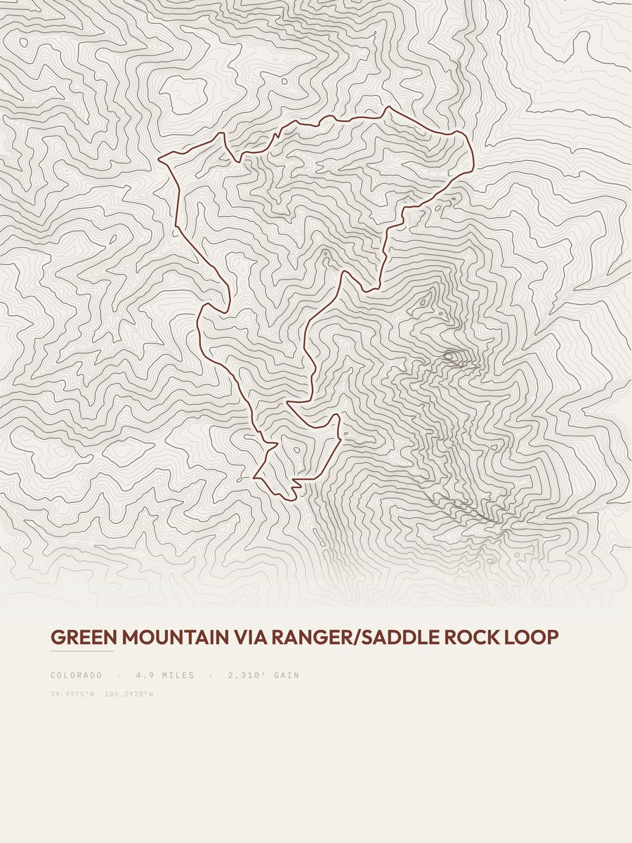
Green Mountain
Front Range
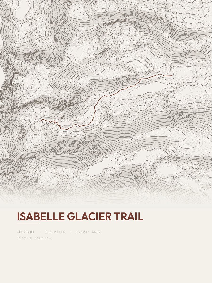
Isabelle Glacier Trail
Front Range
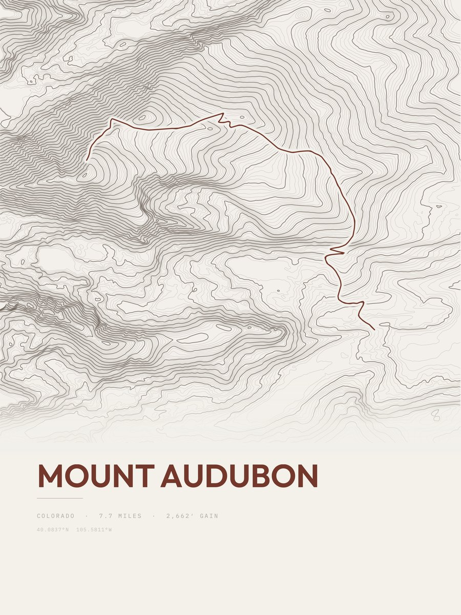
Mount Audubon
Front Range
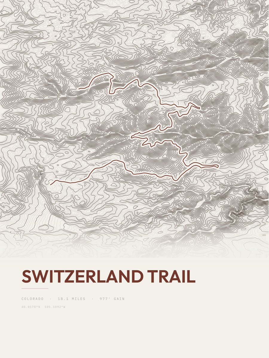
Switzerland Trail
Front Range
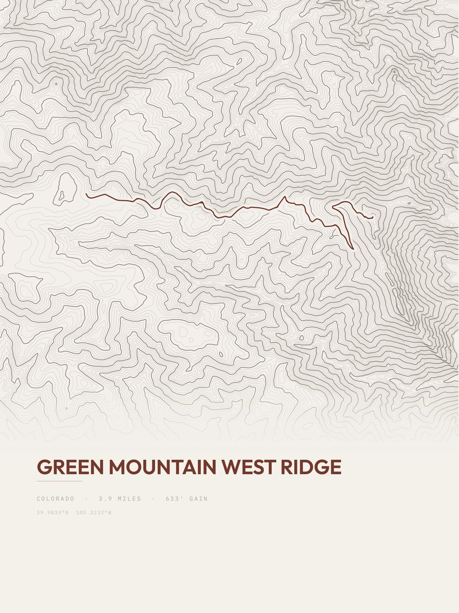
Green Mountain West Ridge
Front Range
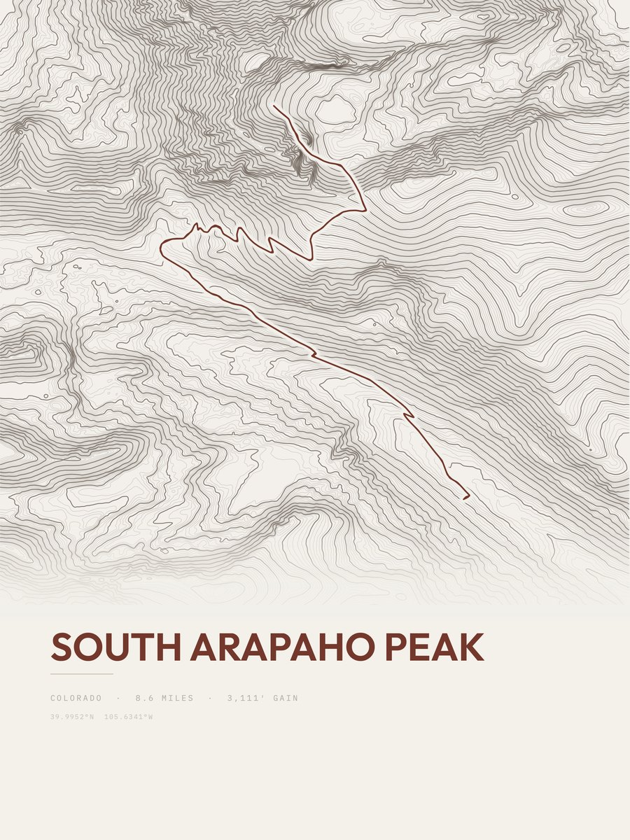
South Arapaho Peak
Front Range

Pawnee Pass Trail
Front Range
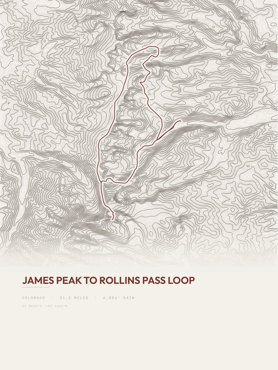
James Peak to Rollins Pass Loop
Front Range

Buchanan Pass Trail
Front Range
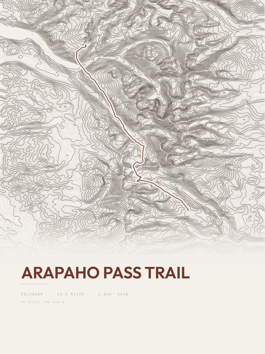
Arapaho Pass Trail
Front Range
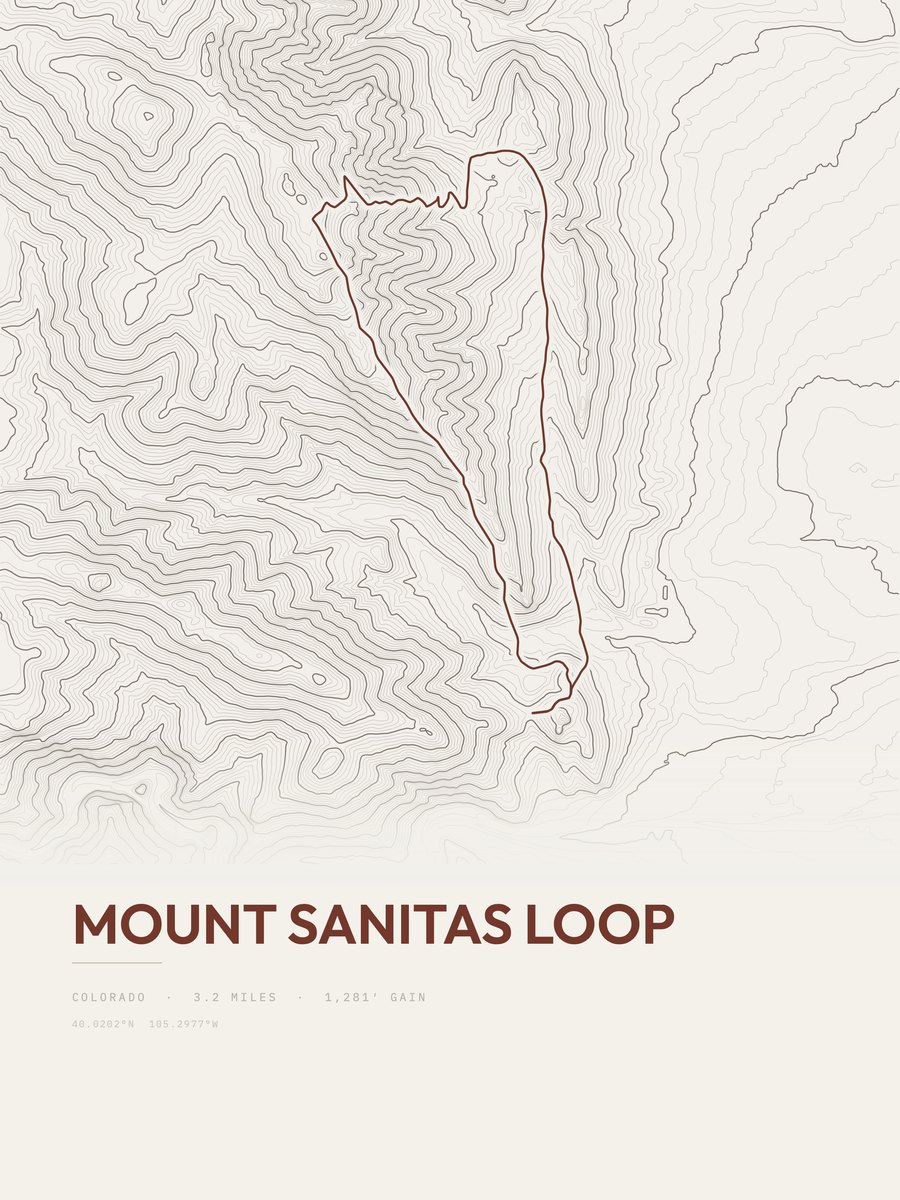
Mount Sanitas Loop
Front Range
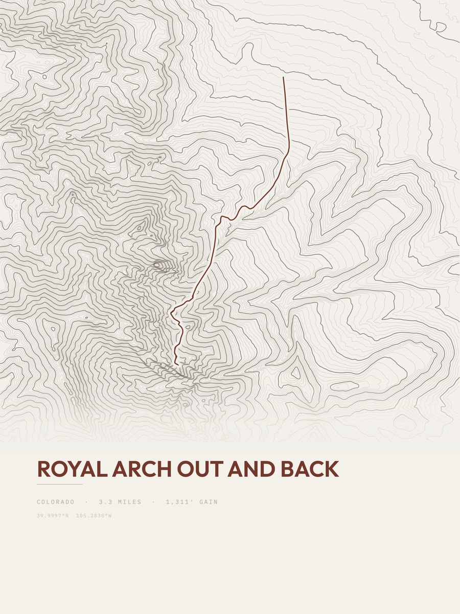
Royal Arch
Front Range
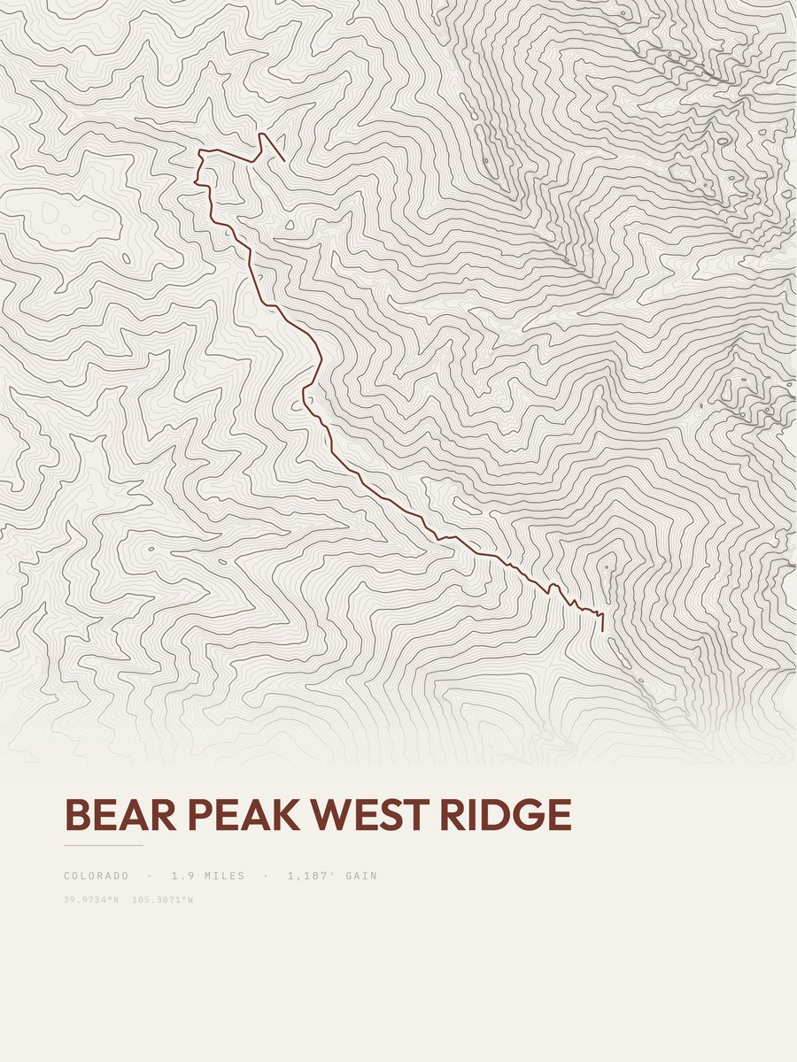
Bear Peak West Ridge
Front Range
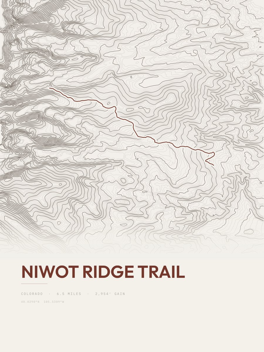
Niwot Ridge Trail
Front Range
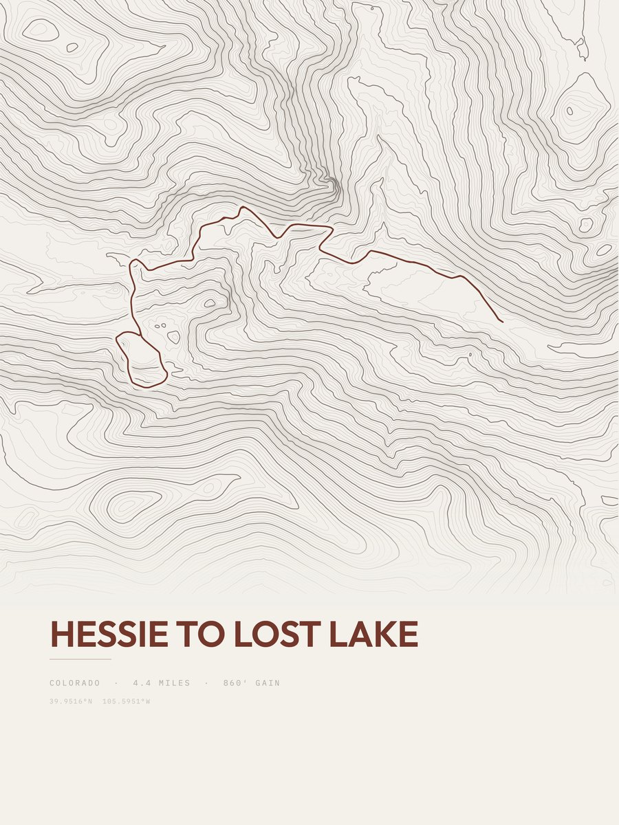
Hessie to Lost Lake
Front Range
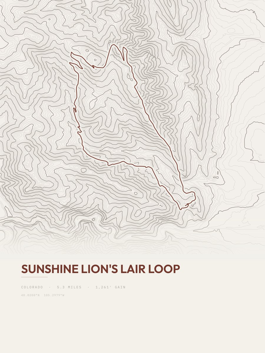
Sunshine Lion's Lair Loop
Front Range
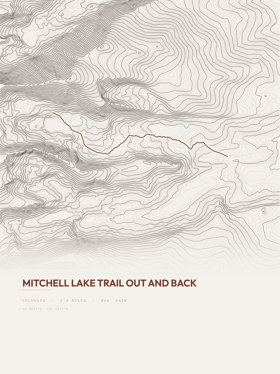
Mitchell Lake Trail
Front Range
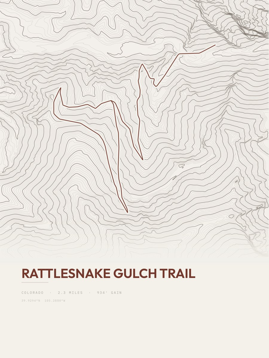
Rattlesnake Gulch Trail
Front Range
- High Lonesome Loop15.7 mi
- Betasso Preserve6.7 mi
- South Boulder Creek Trail3.4 mi
- Mesa Trail6.3 mi
- Roger's Pass9.8 mi
- Mount Audubon Trail2.1 mi
- Lion's Lair Trail2.2 mi
- Hogback Ridge Loop2.1 mi
- First-Second Flatiron Trail0.6 mi
- Diamond Lake Trail3.6 mi
- Red Deer Lake14.2 mi
- Shanahan Ridge3.9 mi
- Fern Canyon Trail1.4 mi
- Rogers Pass Trail2.4 mi
- Long Lake Loop3.6 mi
- East Mag Tour7.5 mi
- James Peak8.6 mi
- Brainard Lake Snowshoe Trail4.8 mi
- Shadow Canyon1.1 mi
- Flagstaff Trail1.7 mi
- Columbine Lake6.4 mi
- Boulder Creek Path8.2 mi
- Pawnee-Buchanan Loop26.5 mi
- Canyon Loop3.2 mi
Show the other 8 trails
- Flagstaff Summit Loop2.4 mi
- South Boulder Creek Trail5 mi
- Forest Lakes Trail2.9 mi
- Forsythe Canyon Trail1.2 mi
- Bear Canyon Trail1.8 mi
- Gregory Canyon1.2 mi
- South Arapaho Peak0.5 mi
- Rollins Pass (aka Corona Pass)35.7 mi