Free US shipping · 5 to 10 business days · 14-day guarantee
National park · 9 trails

Great Otway posters & trail prints.

9 trails from Great Otway National Park, Triplet Falls and Lake Elizabeth Walking Track included, every one available as a topographic art print drawn from the route's actual elevation. Printed to order, so your wall gets the exact trail you earned. Ironbark Basin - Bells Beach to Point Addis is the longest at 4.9 miles; Sabine Falls Track climbs the most, 630 ft. Every print from $39, free US shipping.

Great Otway National Park
Photo: Biatch at English Wikipedia, Public domain, via Wikimedia Commons

The Great Otway National Park is a national park located in the Barwon South West region of Victoria, Australia. The 103,185-hectare (254,980-acre) national park is situated approximately 162 kilometres (101 mi) southwest of Melbourne, in the Otway Ranges, a low coastal mountain range; its highest peak is Mount Cowley, 670 metres (2,198 feet), and is within the park.

From Wikipedia: Great Otway National Park, CC BY-SA 4.0.

Triplet Falls topographic trail print
Triplet Falls
Victoria
Lake Elizabeth Walking Track topographic trail print
Lake Elizabeth Walking Track
Sabine Falls Track topographic trail print
Sabine Falls Track
Maits Rest topographic trail print
Maits Rest
Victoria
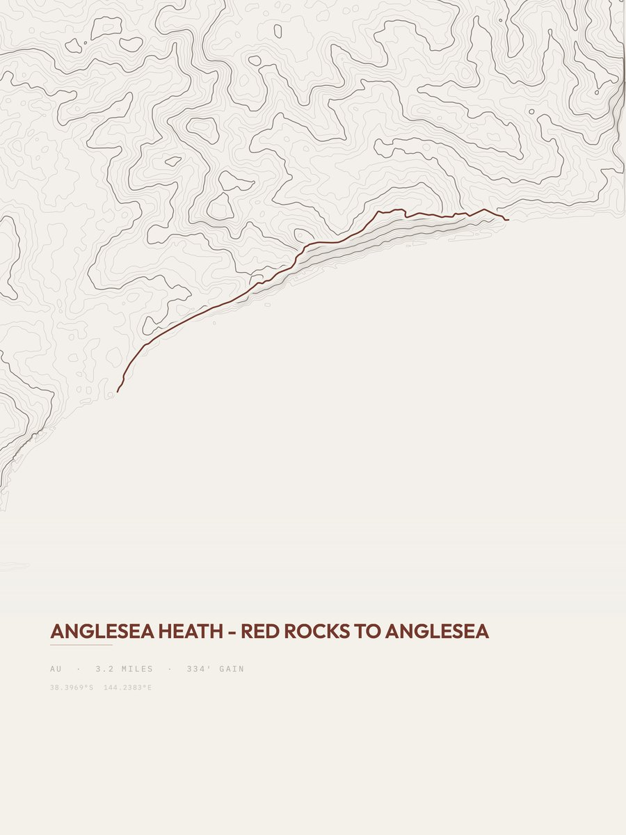
Anglesea Heath - Red Rocks to Anglesea topographic trail print
Anglesea Heath - Red Rocks to Anglesea
Victoria
Ironbark Basin - Bells Beach to Point Addis topographic trail print
Ironbark Basin - Bells Beach to Point Addis
Victoria
Sunnymead - Urquhart Bluff to Sunnymead Beach topographic trail print
Sunnymead - Urquhart Bluff to Sunnymead Beach
Victoria
Melba Gully - Madsen's Track topographic trail print
Melba Gully - Madsen's Track
Victoria
Anglesea Oval up to Ellimatta Rd topographic trail print
Anglesea Oval up to Ellimatta Rd
Victoria

More parks

More states