TN · 211 trails
Tennessee trail prints.
Our Tennessee collection covers 211 trails, Alum Cave Trail and Mount Le Conte Loop among them. Every print is drawn from the trail's real elevation data, each switchback, each foot of climb, then made to order and shipped free in the US. Mount Leconte is the longest at 50.2 miles; Rich Mountain Loop Trail climbs the most, 23,372 ft. Every print from $39, free US shipping.
By parkGreat Smoky Mountains315
Most popular.
The 24 Tennessee trails people look for most, by our demand score (Wikipedia pageviews, reviews, park visitation).

Mount Le Conte Loop
Great Smoky Mountains NP

Chimney Tops Trail
Great Smoky Mountains NP

Alum Cave to Cliff Top
Great Smoky Mountains NP

Abrams Falls
Great Smoky Mountains NP

Spence Field Loop
Great Smoky Mountains NP
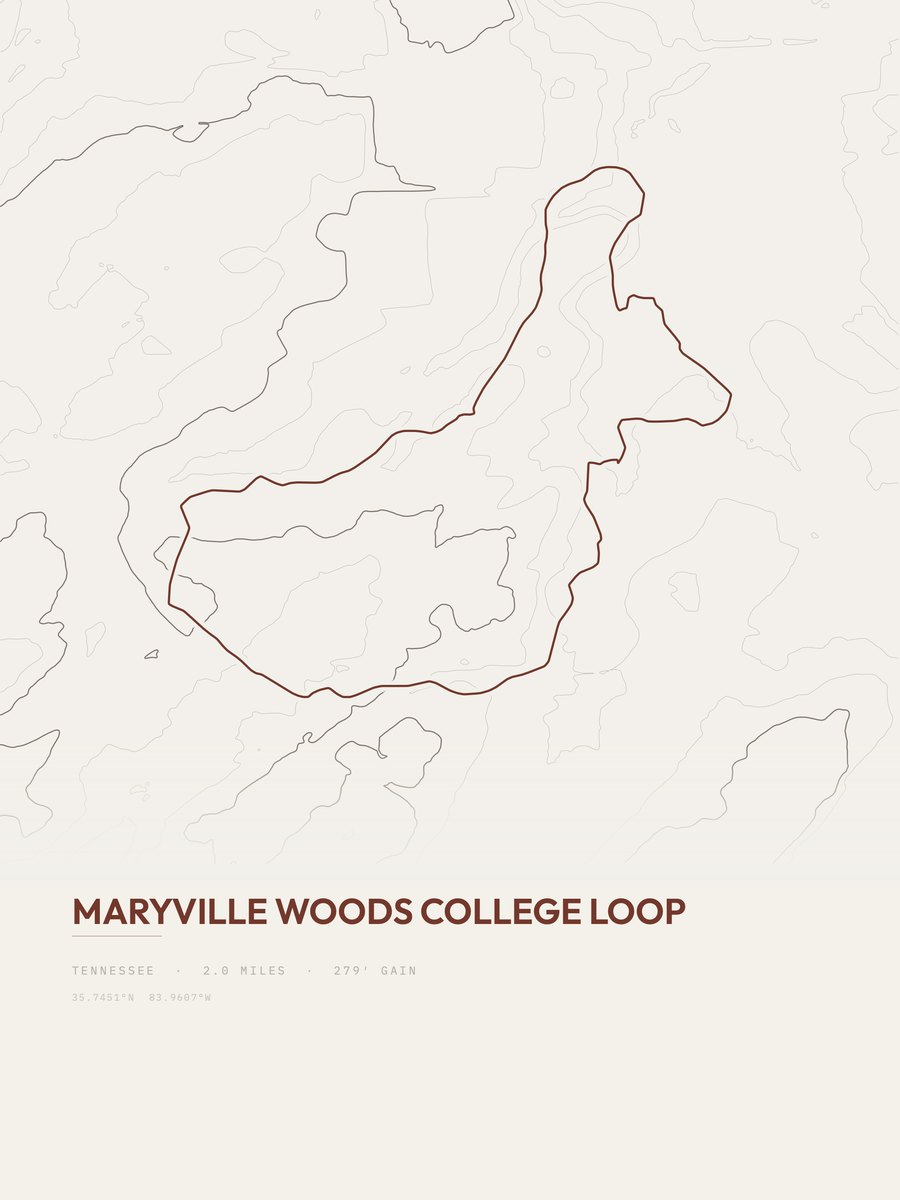
Maryville Woods College Loop
Eastern TN

Alum Cave Trail
Great Smoky Mountains NP

Mount Cammerer
Great Smoky Mountains NP

Alum Cave
Great Smoky Mountains NP

Laurel Falls Trail
Great Smoky Mountains NP

Cades Cove Nature Trail
Great Smoky Mountains NP

Cove Mountain Fire Tower
Great Smoky Mountains NP

Little Greenbrier Trail
Great Smoky Mountains NP

Cades Cove Horse Trail
Great Smoky Mountains NP

Rainbow Falls Trail
Great Smoky Mountains NP

Gregory Bald Trail
Great Smoky Mountains NP
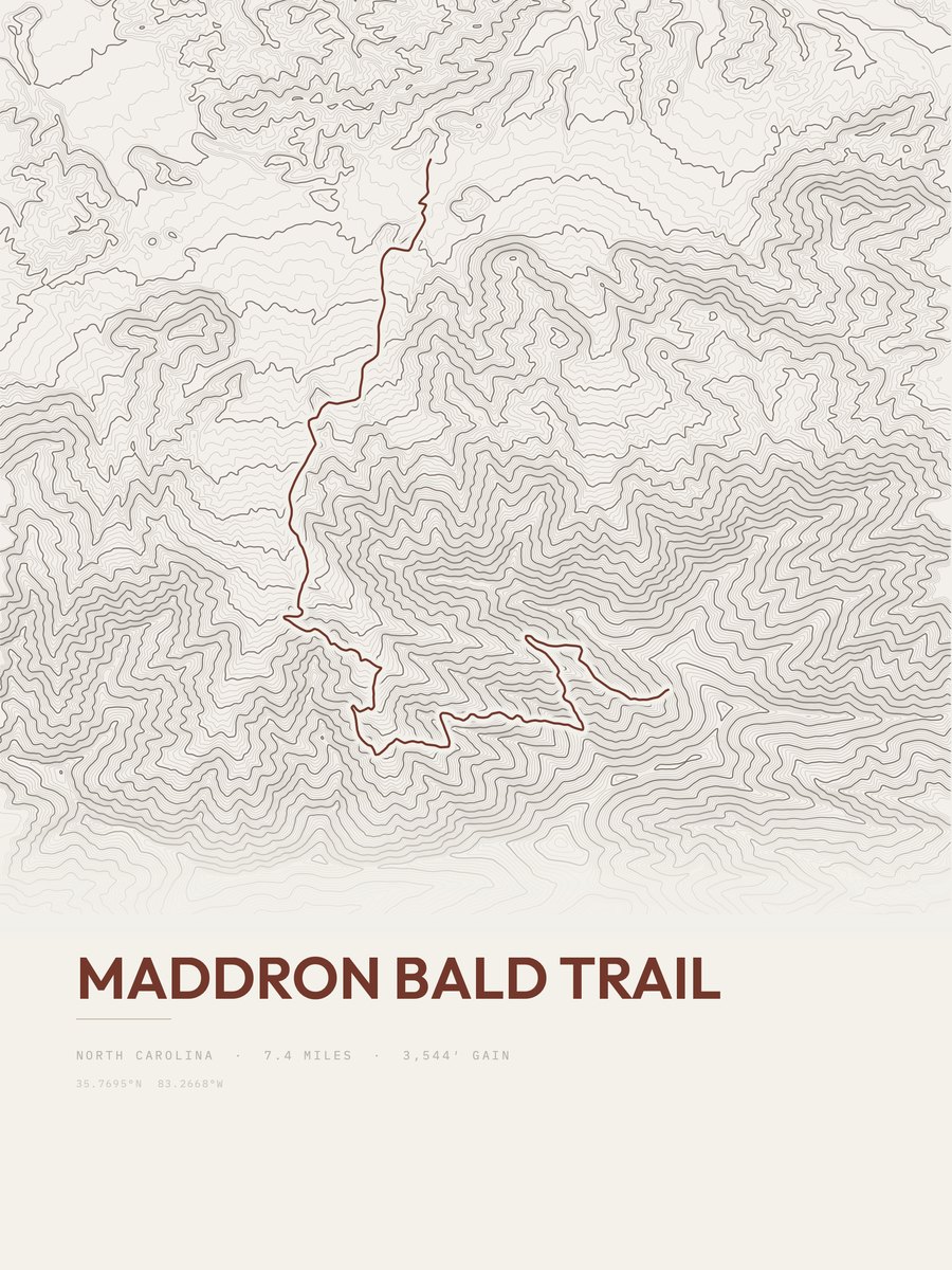
Maddron Bald Trail
Great Smoky Mountains NP

Appalachian Trail
Great Smoky Mountains NP
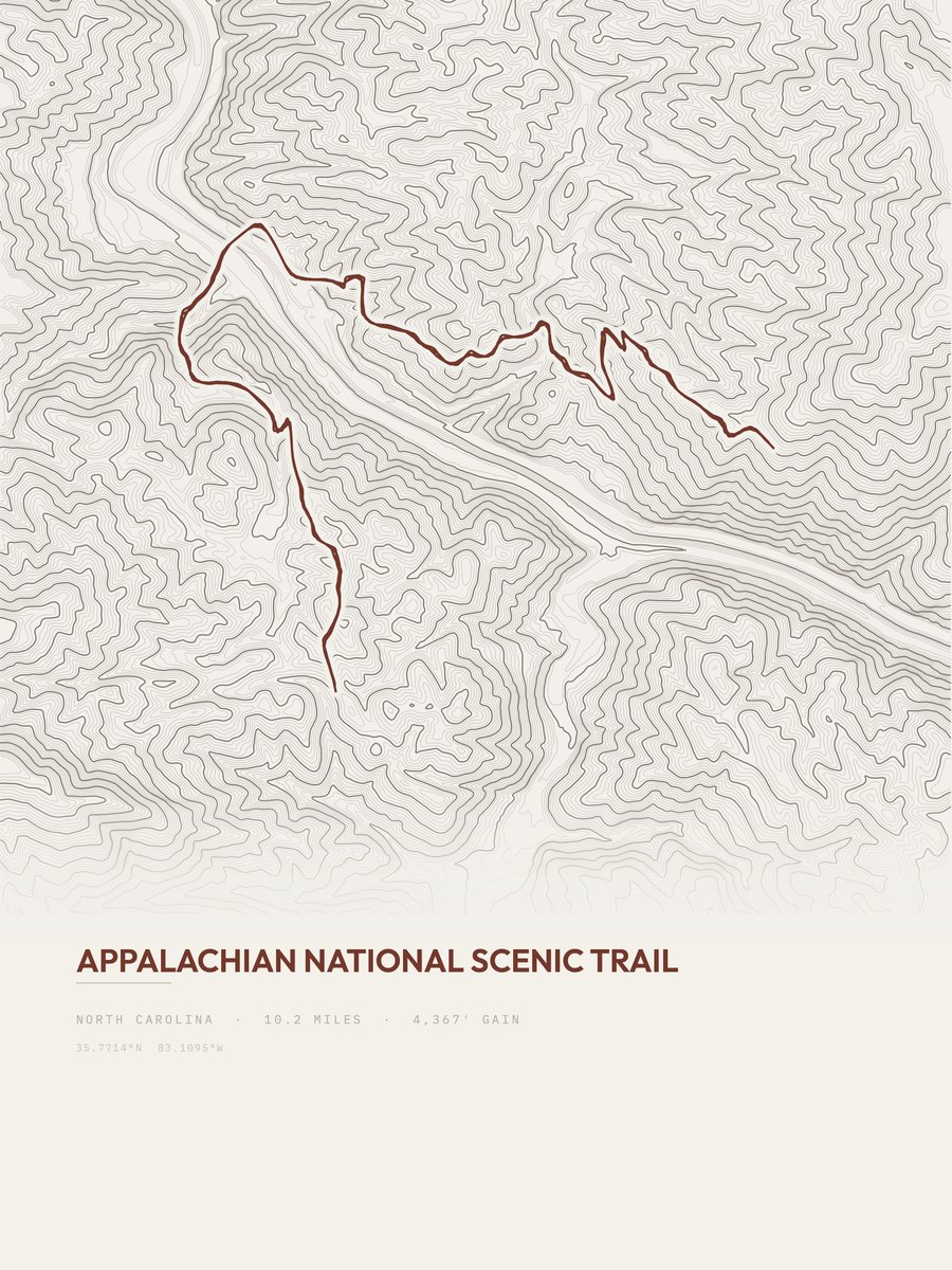
Appalachian Trail

Appalachian Trail
Great Smoky Mountains NP

Appalachian Trail
Great Smoky Mountains NP

Appalachian Trail
Great Smoky Mountains NP

Appalachian Trail
Great Smoky Mountains NP

Appalachian Trail
Great Smoky Mountains NP
Biggest climbs.
The 12 trails with the most elevation gain, from 23,372 ft down to 8,397 ft.
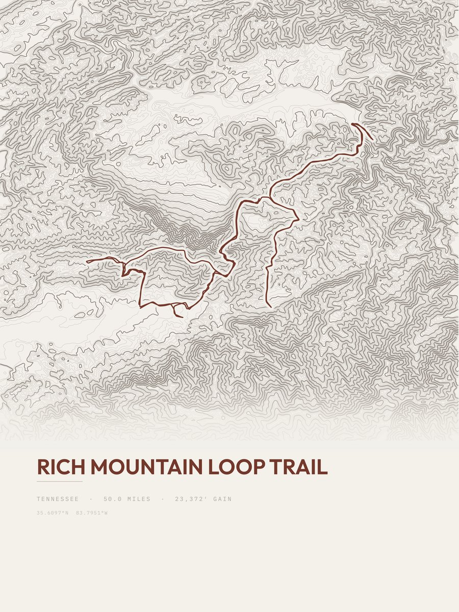
Rich Mountain Loop Trail
23,372 ft gain · 50 mi
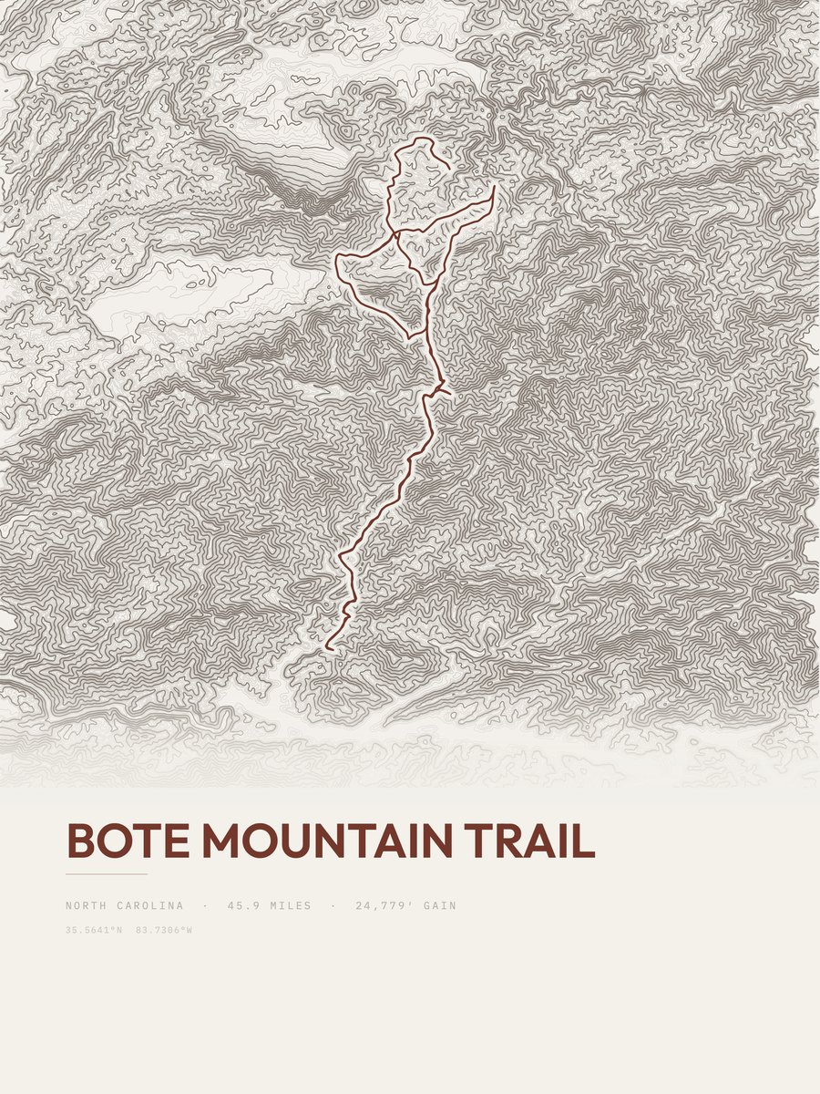
Bote Mountain Trail
20,908 ft gain · 45.9 mi
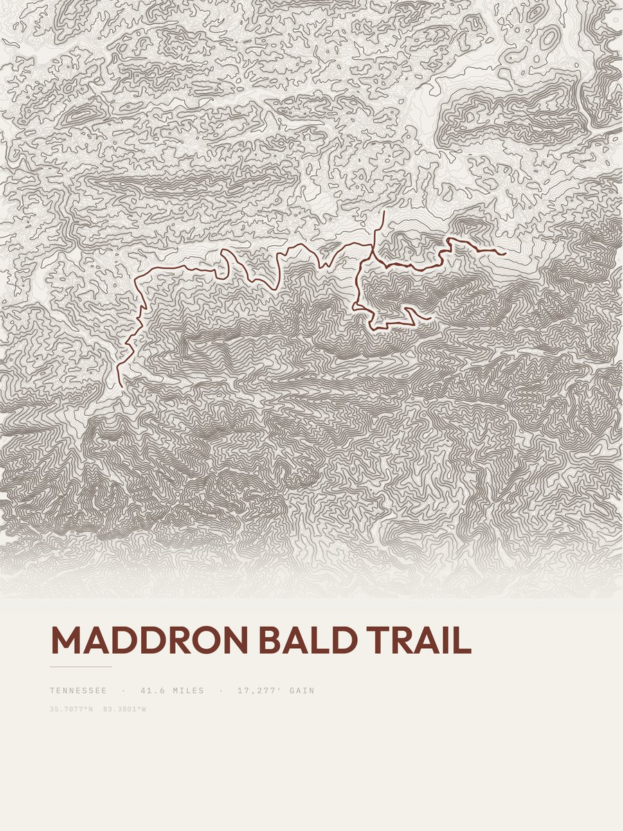
Maddron Bald Trail
17,277 ft gain · 41.6 mi

Appalachian Trail
14,308 ft gain · 32.3 mi
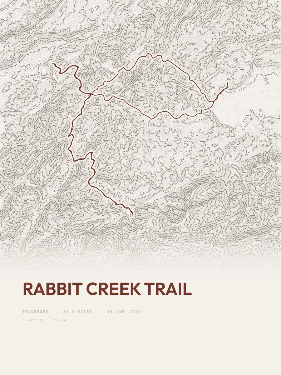
Rabbit Creek Trail
13,018 ft gain · 36.4 mi
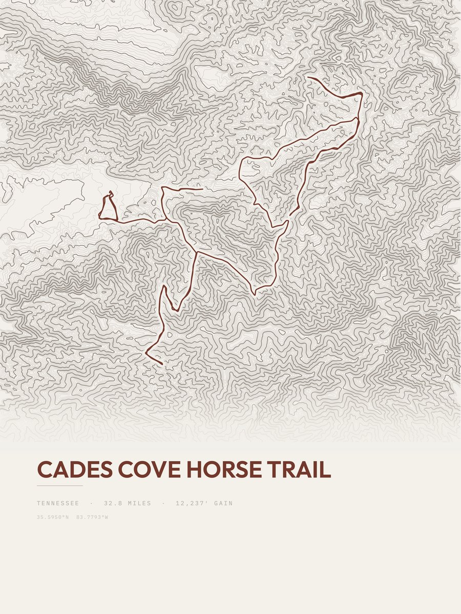
Cades Cove Horse Trail
12,237 ft gain · 32.8 mi

Mount Leconte
11,352 ft gain · 50.2 mi
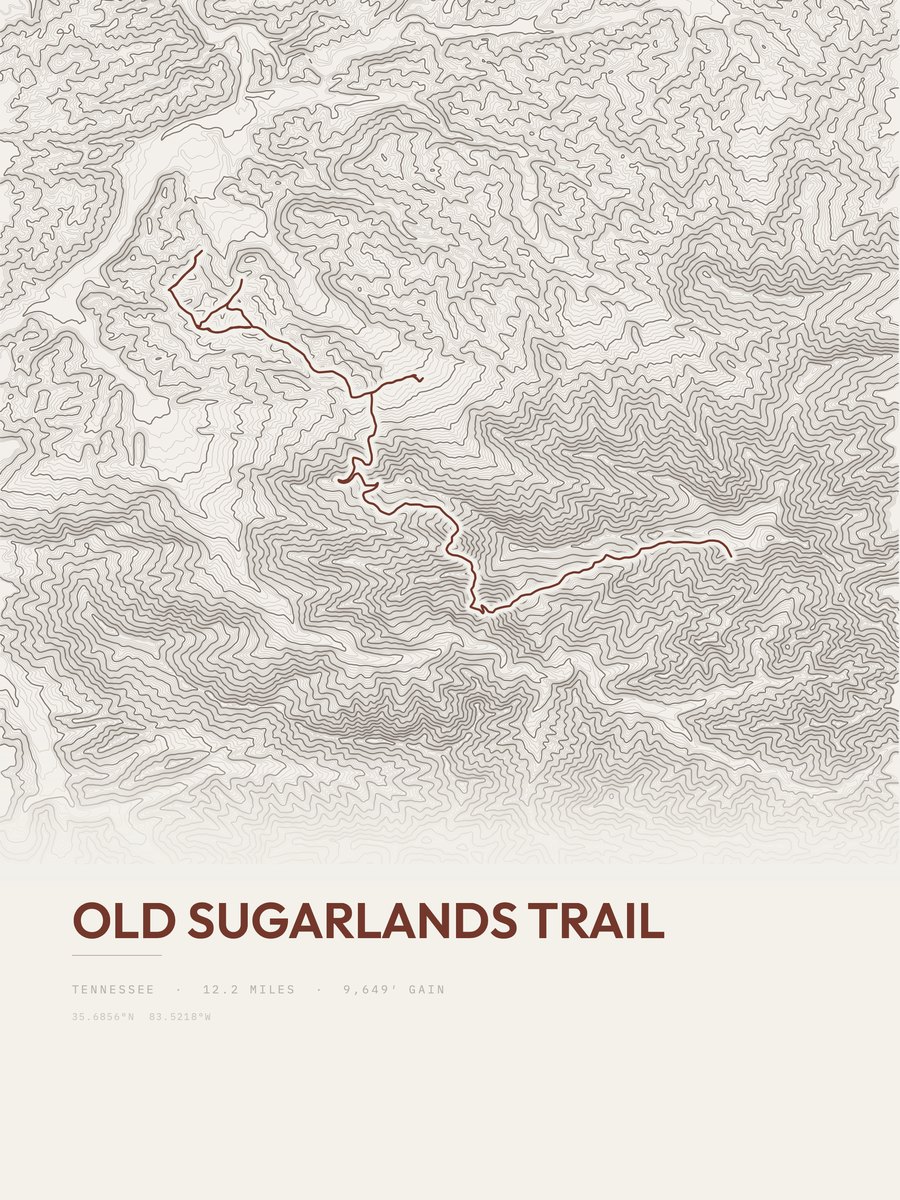
Old Sugarlands Trail
9,649 ft gain · 12.2 mi
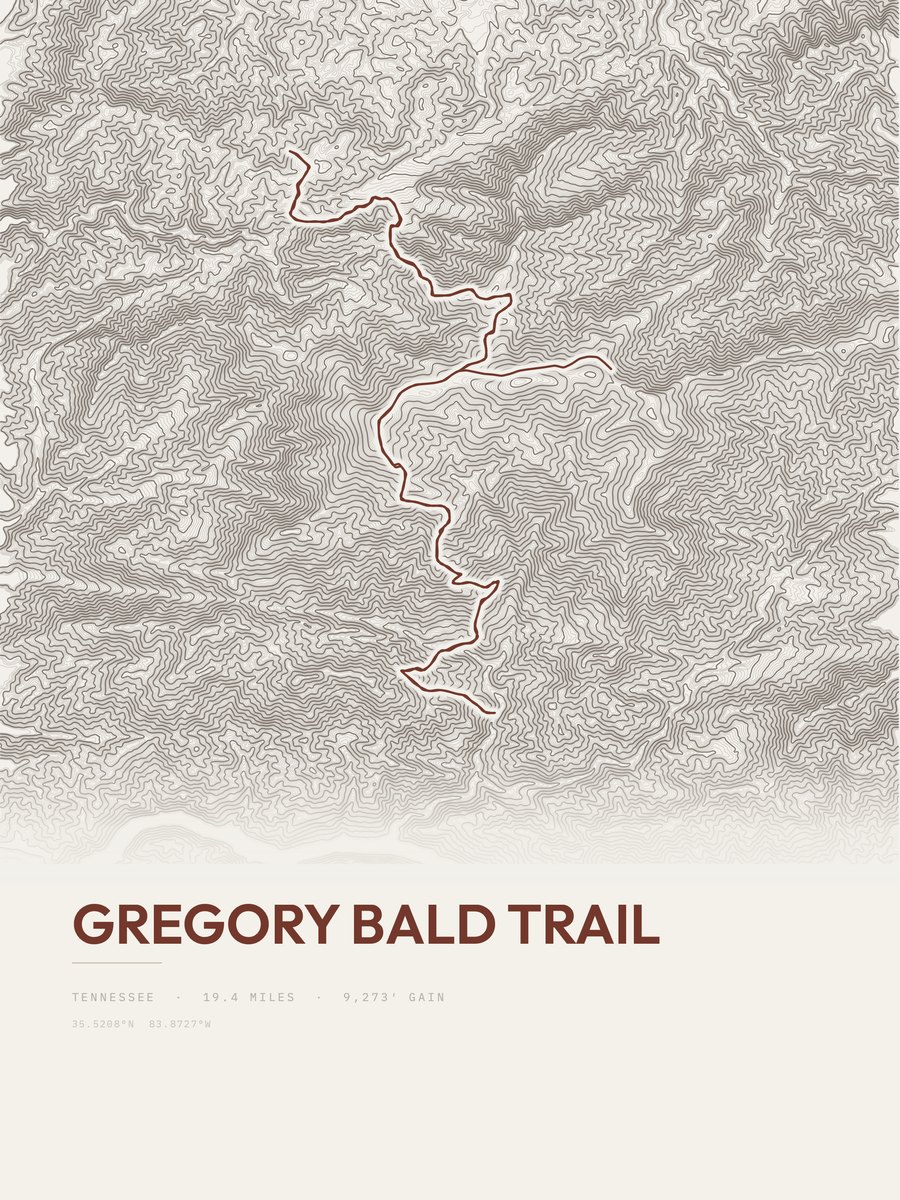
Gregory Bald Trail
9,273 ft gain · 19.4 mi
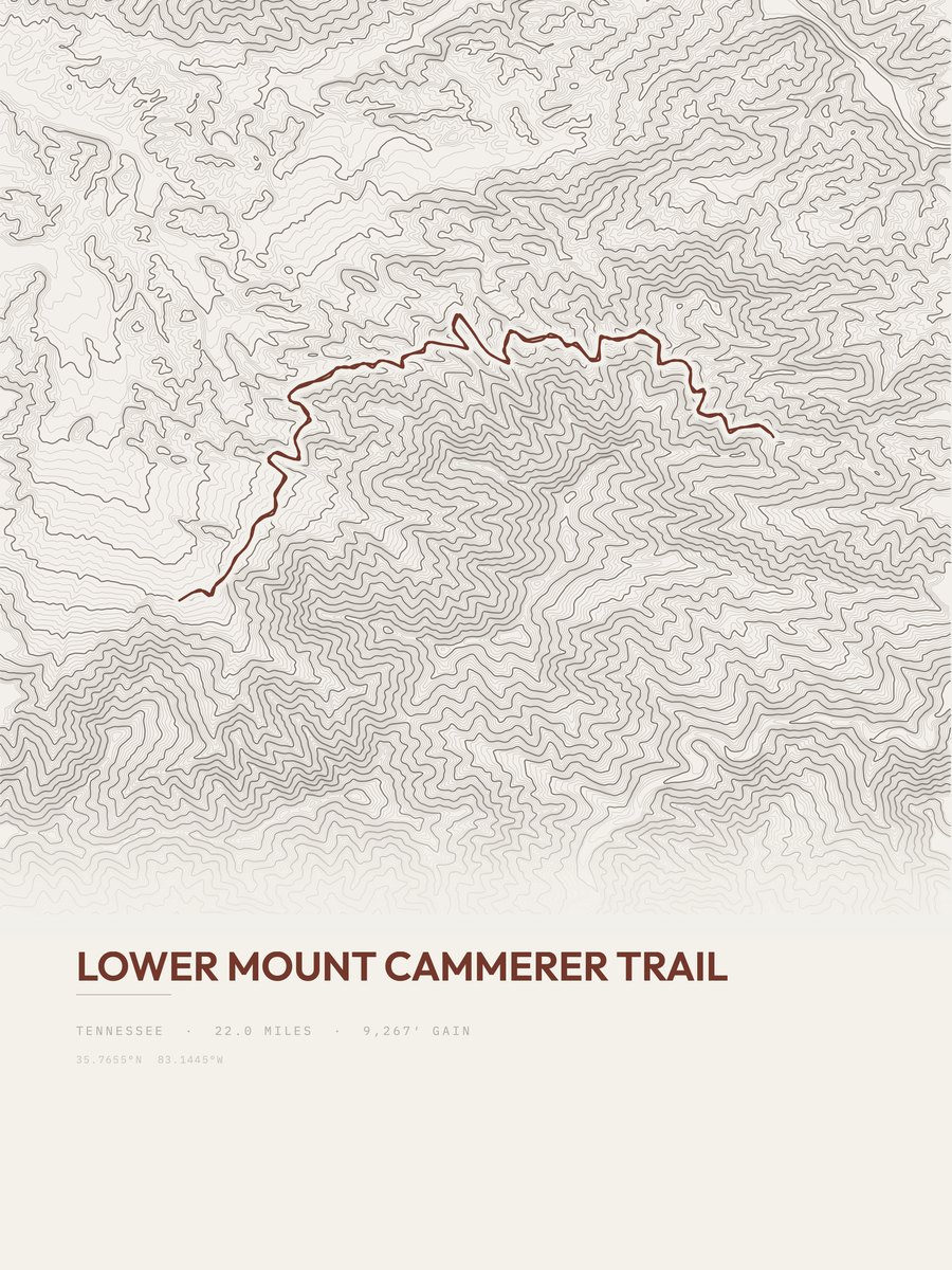
Lower Mount Cammerer Trail
9,267 ft gain · 22 mi
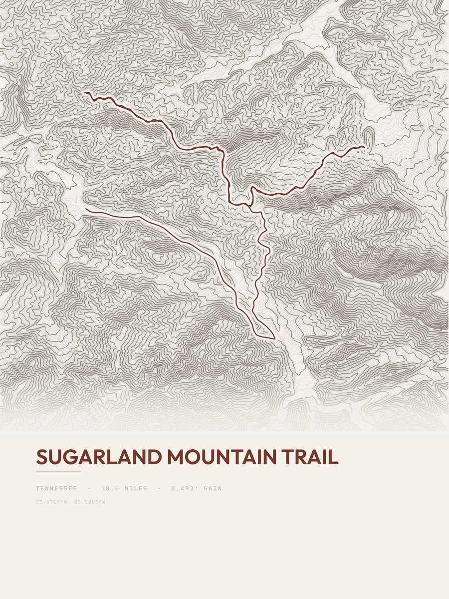
Sugarland Mountain Trail
8,493 ft gain · 18 mi

Porters Creek Trail
8,397 ft gain · 29.6 mi
Easy days.
The least climb among trails of 3 miles or more: 12 routes with 152 to 630 ft of gain.
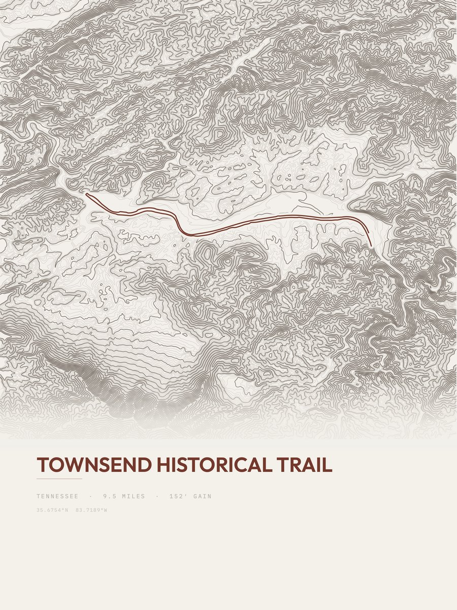
Townsend Historical Trail
152 ft gain · 9.5 mi
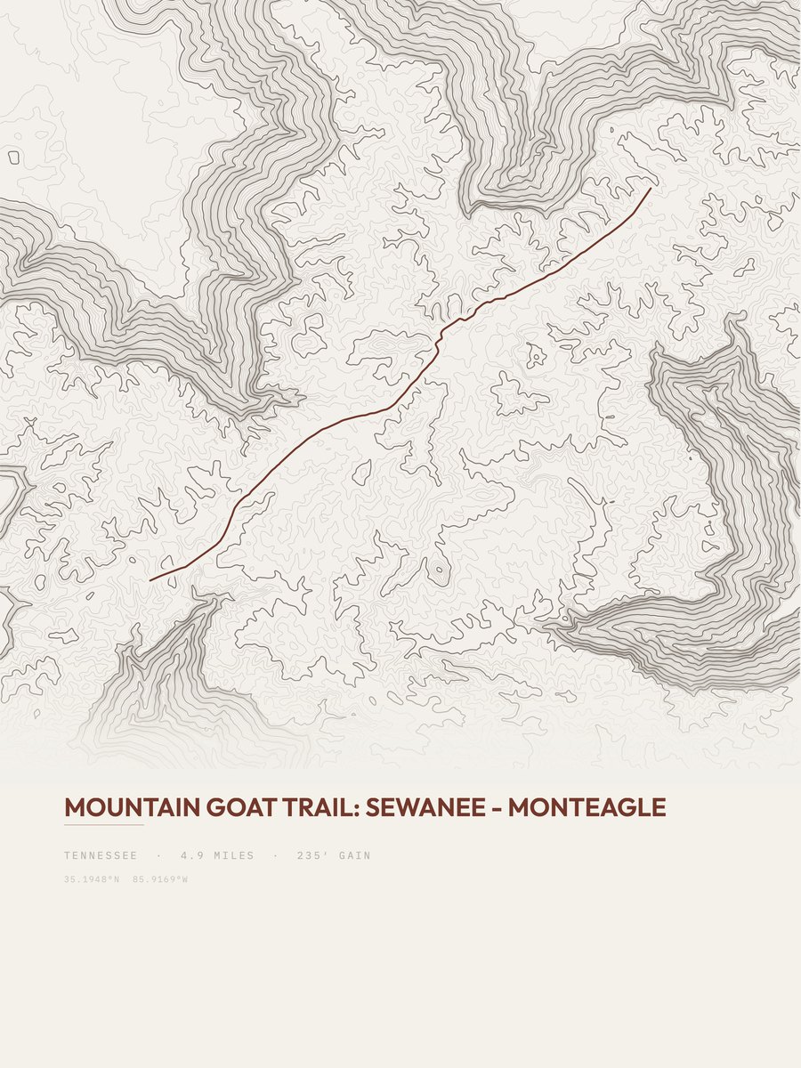
Mountain Goat Trail
235 ft gain · 4.9 mi

Tweetsie Trail
262 ft gain · 10.5 mi
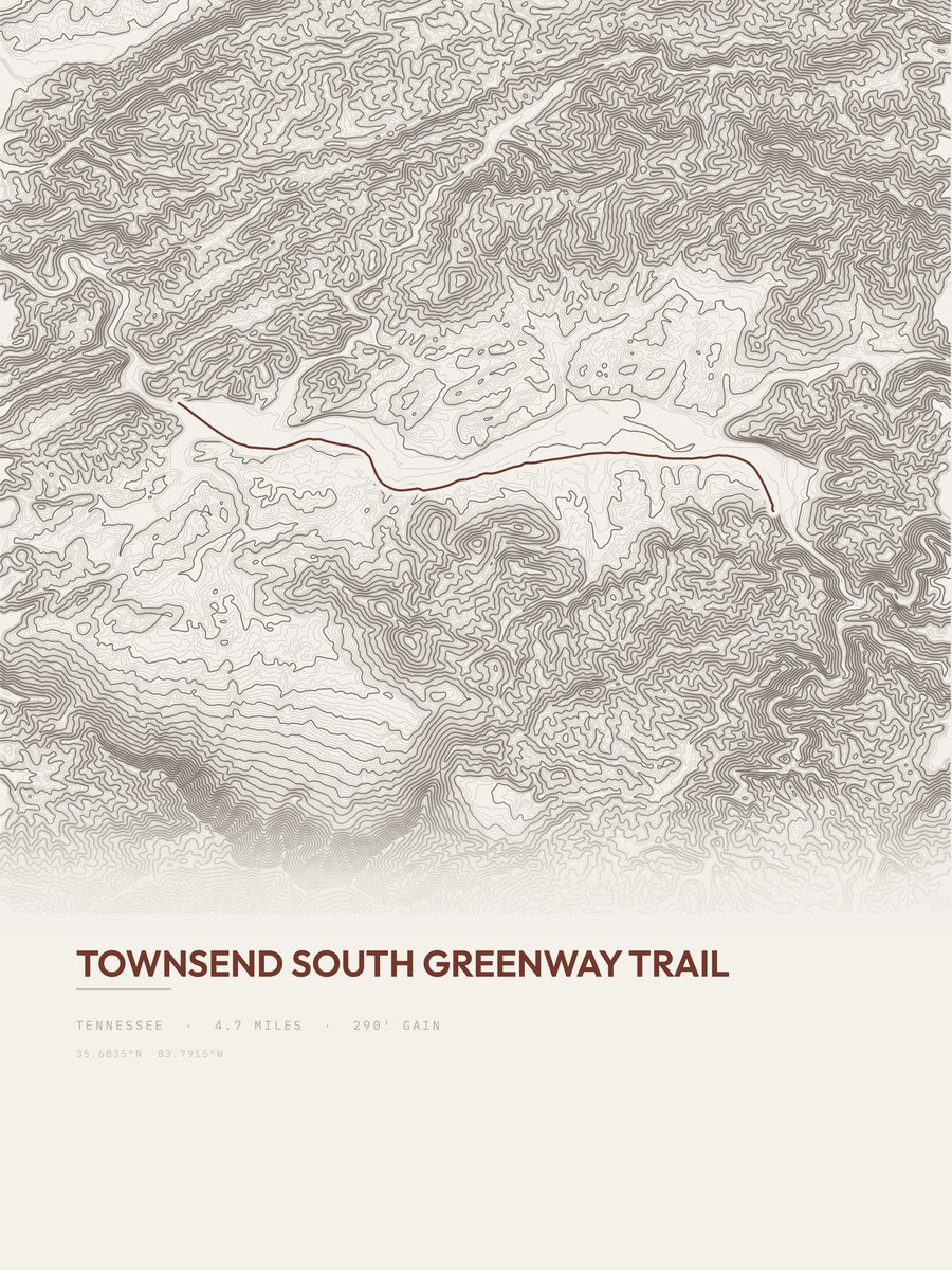
Townsend South Greenway Trail
290 ft gain · 4.7 mi
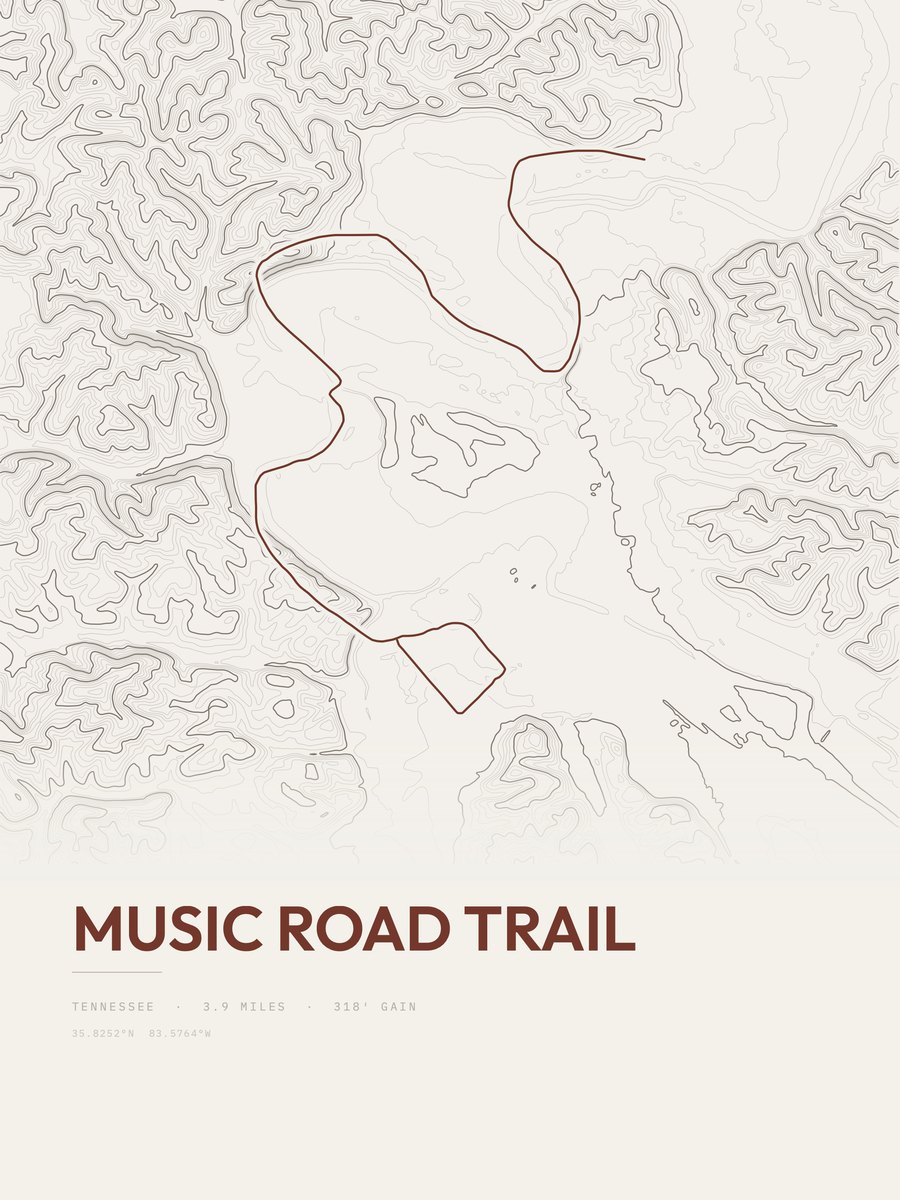
Music Road Trail
318 ft gain · 3.9 mi
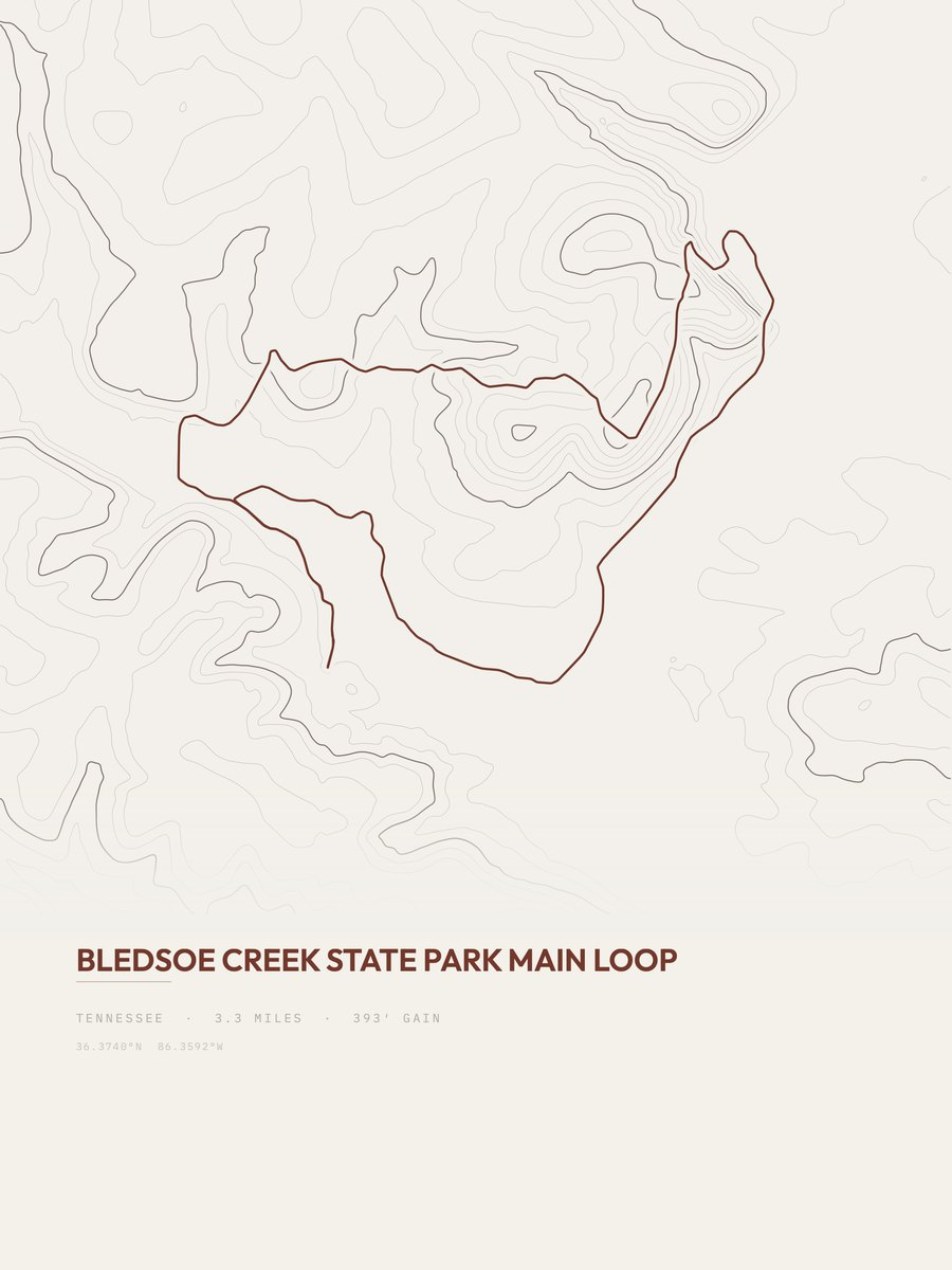
Bledsoe Creek State Park
393 ft gain · 3.3 mi
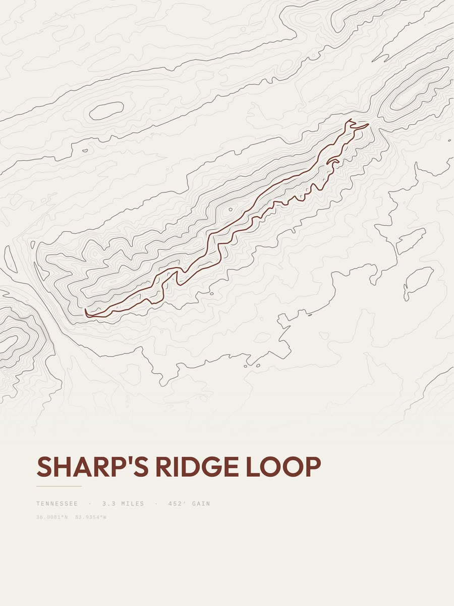
Sharp's Ridge Loop
452 ft gain · 3.3 mi
Abrams Falls
550 ft gain · 5.1 mi
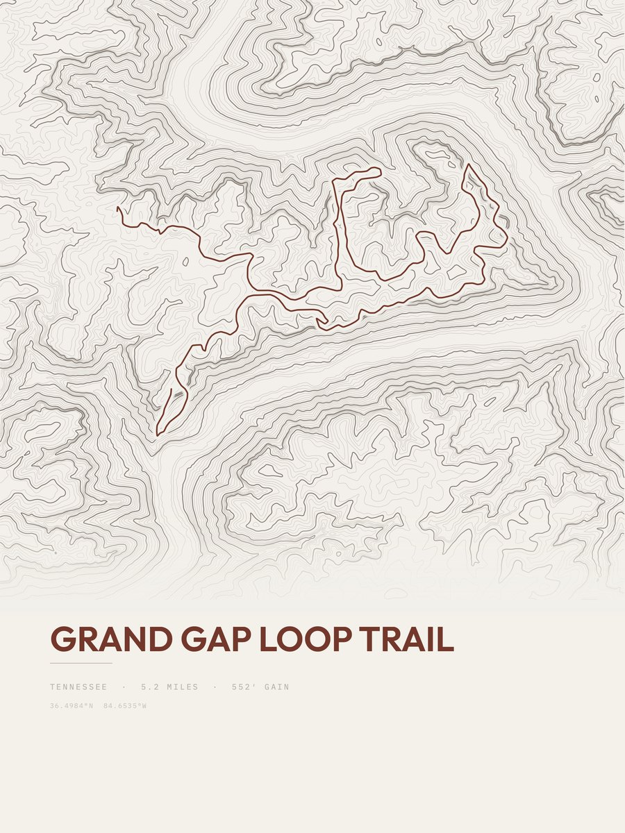
Grand Gap Loop Trail
552 ft gain · 5.2 mi
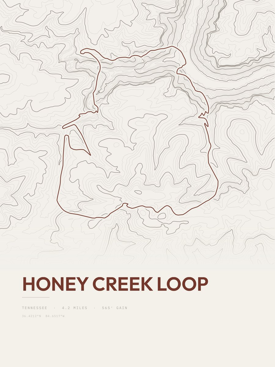
Honey Creek Loop
565 ft gain · 4.2 mi
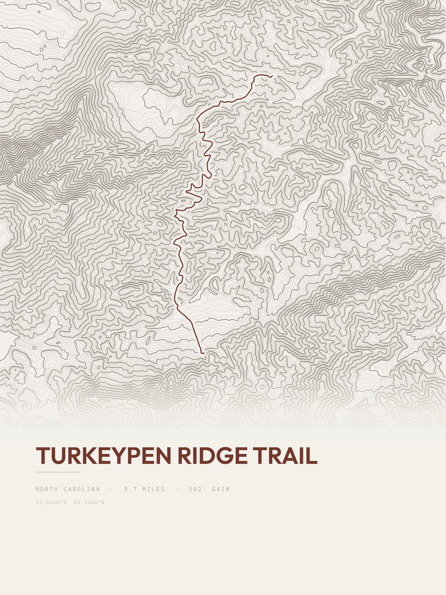
Turkeypen Ridge Trail
582 ft gain · 3.7 mi
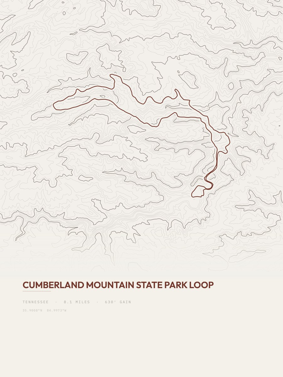
Cumberland Mountain State Park
630 ft gain · 8.1 mi
All 211 trails.
Every Tennessee trail with a page, most popular first.
- Alum Cave Trail5 mi
- Mount Le Conte Loop16 mi
- Chimney Tops Trail4.2 mi
- Alum Cave to Cliff Top10.7 mi
- Abrams Falls5.1 mi
- Spence Field Loop13.7 mi
- Maryville Woods College Loop2 mi
- Mount Cammerer10.8 mi
- Alum Cave4.6 mi
- Laurel Falls Trail4.1 mi
- Cades Cove Nature Trail0.8 mi
- Cove Mountain Fire Tower8.4 mi
- Little Greenbrier Trail4.4 mi
- Cades Cove Horse Trail2.3 mi
- Rainbow Falls Trail6.6 mi
- Gregory Bald Trail7.4 mi
- Maddron Bald Trail7.4 mi
- Appalachian Trail11.8 mi
- Appalachian Trail10.2 mi
- Appalachian Trail7.2 mi
- Appalachian Trail2.7 mi
- Appalachian Trail4.1 mi
- Appalachian Trail8.7 mi
- Appalachian Trail3.7 mi
Show the other 187 trails
- Appalachian Trail3.5 mi
- Appalachian Trail2.4 mi
- Appalachian Trail3.1 mi
- Appalachian Trail2.6 mi
- Appalachian Trail2.5 mi
- Old Sugarlands Trail4 mi
- Trillium Gap Trail9 mi
- Sugarland Mountain Trail12.1 mi
- Ramsey Cascades Trail8 mi
- Abrams Falls Trail4.3 mi
- Appalachian Trail1.1 mi
- Appalachian Trail1.4 mi
- Rainbow Falls5.4 mi
- Grotto Falls2.6 mi
- Roundtop Trail7.6 mi
- Snake Den Ridge Trail5.4 mi
- Laurel Falls2.5 mi
- Appalachian Trail32.3 mi
- Cades Cove Horse Trail32.8 mi
- Meigs Mountain Trail6.1 mi
- Overmountain Victory Trail4.5 mi
- Middle Prong Trail4.2 mi
- Gregory Bald9.1 mi
- Lower Mount Cammerer Trail7.6 mi
- Fiery Gizzard12.2 mi
- Porters Creek Trail7.3 mi
- Bote Mountain Trail7 mi
- Noah Bud Ogle Place Nature Trail0.7 mi
- Bull Head Trail5.9 mi
- Baskins Creek Trail2.8 mi
- Spruce Flats Falls Trail1.8 mi
- Cucumber Gap Loop5.5 mi
- Gabes Mountain Trail6.7 mi
- Noah 'Bud' Ogle Place10.2 mi
- House Mountain Loop3.8 mi
- Little River Trail6.4 mi
- Old Sugarlands Trail12.2 mi
- Jakes Creek AT Loop24.5 mi
- Gregory Bald Trail19.4 mi
- Meigs Creek Trail3.5 mi
- Bullhead View Quiet Walkway17.4 mi
- Old Settlers Trail15.9 mi
- Cove Mountain Trail8.7 mi
- Anthony Creek Trail3.6 mi
- Rich Mountain Trail2.3 mi
- Ace Gap Trail5.5 mi
- Twin Creeks Trail1.9 mi
- Turkeypen Ridge Trail3.7 mi
- Little Bottoms Trail2.3 mi
- Old Stone Fort2.9 mi
- Montgomery Bell Trail10.4 mi
- Goshen Prong Trail7.6 mi
- Low Gap Trail5.5 mi
- Jakes Creek Trail3.7 mi
- Huskey Gap Trail4.2 mi
- Lumber Ridge Trail4.2 mi
- Curry Mountain Trail3.4 mi
- West Prong Trail2.7 mi
- Brushy Mountain Trail4.9 mi
- Gregory Ridge Trail5 mi
- Cooper Road Trail10.8 mi
- Grapeyard Ridge Trail7.7 mi
- Road Prong Trail2.3 mi
- Panther Creek Trail2.2 mi
- Crooked Arm Ridge Trail2.2 mi
- Chestnut Top Trail4.4 mi
- Lead Cove Trail1.8 mi
- Indian Grave Gap Trail3.8 mi
- Sugarland Mountain Trail18 mi
- Burgess Falls Trail0.6 mi
- Miry Ridge Trail5 mi
- Lynn Camp Prong Trail3.7 mi
- Big Dudley2.7 mi
- Hen Wallow Falls4.5 mi
- Little Dudley2.8 mi
- Schoolhouse Gap Trail2.1 mi
- Cucumber Gap Trail2.4 mi
- Trillium Gap Trail19.6 mi
- Trillium Gap Trail7.3 mi
- Rich Mountain Loop Trail3.4 mi
- Rabbit Creek Trail7.9 mi
- Two Mile Lead6.2 mi
- Hatcher Mountain Trail2.8 mi
- Beard Cane Trail4.3 mi
- Little Brier Gap Trail1.5 mi
- Snake Den Ridge Trail4.2 mi
- Fighting Creek Nature Trail1.2 mi
- Metcalf Bottoms Trail1.3 mi
- Finley Cane Trail2.8 mi
- Fiery Gizzard Trail10.7 mi
- Hannah Mountain Trail9.7 mi
- Greenbrier Ridge Trail4.2 mi
- Rough Creek Trail2.8 mi
- Gatlinburg Trail2.8 mi
- Big Ridge State Park Tour5.3 mi
- Laurel Falls Trail0.9 mi
- Cumberland Mountain State Park8.1 mi
- Mountain Goat Trail4.9 mi
- Grassy Branch Trail1.4 mi
- Gold Mine Trail1 mi
- Lower Mount Cammerer Trail22 mi
- Great Smoky Mountains Peak Loop26.6 mi
- Cane Creek Trail2.2 mi
- Wet Bottom Trail1 mi
- Albright Grove Loop Trail0.6 mi
- Old Sugarlands Trail0.8 mi
- Russell Field Trail3.6 mi
- Porters Creek Trail3.7 mi
- Bell Branch1.2 mi
- Sharp's Ridge Loop3.3 mi
- Scott Mountain Trail3.9 mi
- Grassy Branch1.7 mi
- Cove Hardwood Nature Trail0.7 mi
- Edgar Evins Loop8.4 mi
- Alcoa East Greenway Trail2.4 mi
- Maddron Bald Trail41.6 mi
- Crib Gap Trail1.8 mi
- Duds Branch1.6 mi
- Painter Ridge1.1 mi
- Elkmont Nature Trail0.7 mi
- Mount Leconte50.2 mi
- Seven Islands Loop Trail1.4 mi
- Snake Den Ridge Trail0.7 mi
- Hatcher Mountain Trail14.3 mi
- Jakes Creek Trail10.4 mi
- Jenkins Ridge Trail23 mi
- Jakes Creek Trail7.3 mi
- Cooper Road Trail9 mi
- Anthony Creek Trail4.3 mi
- Big Dudley7.7 mi
- Lynn Camp Prong Trail6.7 mi
- Porters Creek Trail2.6 mi
- Anthony Creek Trail1.9 mi
- Baskins Creek Trail4.2 mi
- Grapeyard Ridge Trail2.7 mi
- Baskins Creek Trail1.4 mi
- Little River Trail1.7 mi
- Upper Bald River Wilderness Loop22.9 mi
- Townsend Historical Trail9.5 mi
- Spruce Flats Falls Trail0.9 mi
- Cosby Nature Trail0.6 mi
- Bledsoe Creek State Park3.3 mi
- Scott Mountain Trail1.4 mi
- Music Road Trail3.9 mi
- South River Walk Trail2.5 mi
- Townsend South Greenway Trail4.7 mi
- Stiffknee Trail9.5 mi
- Perimeter Trail0.7 mi
- Bote Mountain Trail45.9 mi
- Look Rock Tower Trail0.4 mi
- Cherry Knob Fire Tower7.4 mi
- Rabbit Creek Trail36.4 mi
- Porters Creek Trail29.6 mi
- Jakes Creek Trail29.7 mi
- Two Mile Lead32.2 mi
- Gatlinburg Trail1.4 mi
- Springbrook Park Trail1.4 mi
- North River Walk Trail2.7 mi
- Alcoa Maryville Greenway2.2 mi
- Virgin Falls Lollipop8 mi
- Thunderhead Prong Quiet Walkway2.1 mi
- Cosby Horse Trail0.6 mi
- Slickrock Creek1.7 mi
- Log Bridge Trail0.3 mi
- Maryville Alcoa Greenway0.8 mi
- Twin Arches Loop Trail3.9 mi
- Mossy Ridge Trail (Red)4.4 mi
- Look Rock Developed Trail0.5 mi
- Brown Gap Road (TN-FSR2250)7.7 mi
- Rich Mountain Loop Trail50 mi
- Riverview Quiet Walkway1.4 mi
- Honey Creek Loop4.2 mi
- Stinging Fork Falls Trail1 mi
- Painter Ridge0.4 mi
- Knoll Orchard Trail0.3 mi
- Holston Mountain Trail6.2 mi
- Metcalf Bottoms Trail0.7 mi
- Grand Gap Loop12 mi
- Big Creek Gulf Loop7.5 mi
- Red, White, and Blue11.2 mi
- Grand Gap Loop Trail5.2 mi
- North & South Old Mac Trail8.1 mi
- Flint Mill Trail2.6 mi
- Bearwaller Gap Trail5.7 mi
- Tweetsie Trail10.5 mi
- Virgin Falls Trail3.4 mi
- Rainbow Falls Trail1.2 mi