The easiest hikes in Joshua Tree National Park, by the numbers
Of the 83 trails in Joshua Tree National Park in our dataset, 28 (34 percent) rate easiest on the gain-and-distance scale we use, run 1 to 6 miles and climb 500 ft or less; these are the 25 with the lowest rating.
Echo T / Barker Dam Trail has the lowest rating: 4 ft of gain over 1.1 miles, 4 ft per mile.
Across the 25, gain runs from 4 to 443 ft and distance from 1 mile to 3.7 miles; the median gain is 186 ft and the median distance 1.6 miles.
19 of the 25 are point-to-point routes; the rest are out-and-back (2) or loop (4).
| # | Trail | Miles | Gain (ft) | Ft per mile | Max grade | Elevation (ft) | Rating | Profile |
|---|---|---|---|---|---|---|---|---|
| 1 | Echo T / Barker Dam TrailDeserts | 1.1 | 4 | 4 | 3% | 4,214 to 4,261 | 3 | |
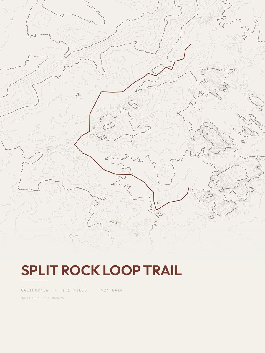
| 2 | Split Rock Loop TrailDeserts | 1.1 | 52 | 47 | 5% | 4,305 to 4,382 | 10.7 | |
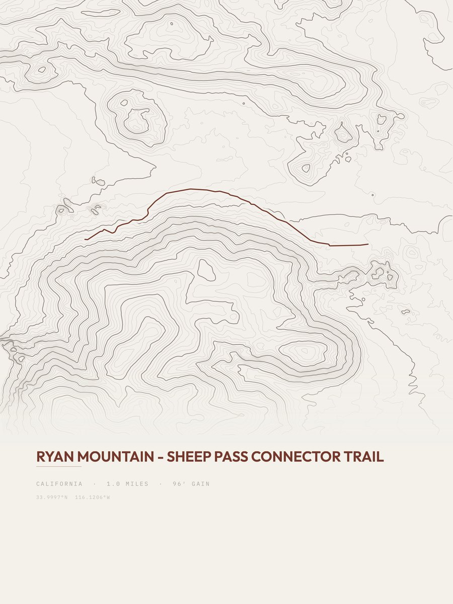
| 3 | Ryan Mountain to Sheep PassDeserts | 1 | 96 | 96 | 26% | 4,464 to 4,549 | 13.9 | |
| 4 | Arch Rock Nature TrailDeserts | 1.3 | 86 | 66 | 5% | 3,827 to 3,913 | 15 | |
| 5 | Hidden Valley Nature TrailDeserts | 1 | 112 | 112 | 19% | 4,180 to 4,262 | 15 | |
| 6 | Wall Street Mill TrailDeserts | 2.3 | 79 | 34 | 3% | 4,256 to 4,335 | 19.1 | |
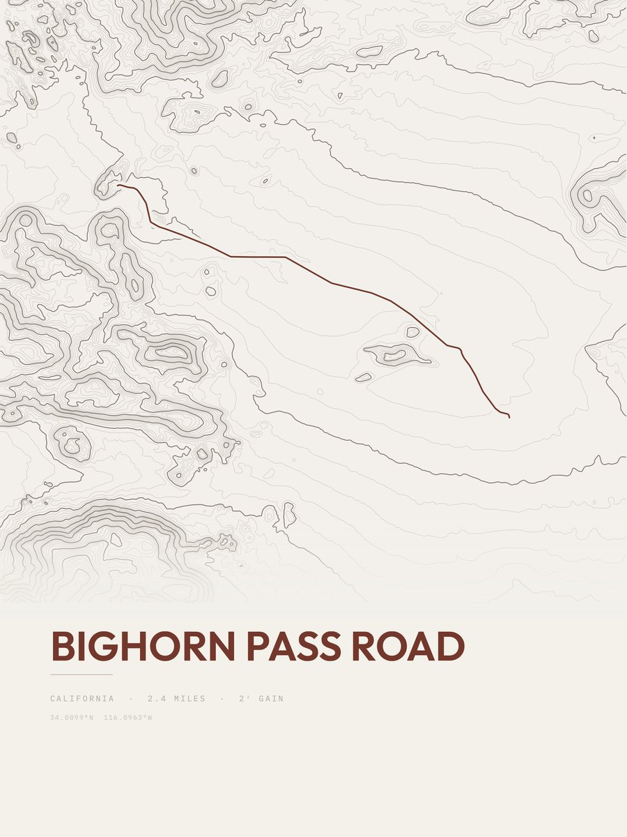
| 7 | Bighorn Pass RoadDeserts | 2.4 | 79 | 33 | 2% | 4,322 to 4,399 | 19.5 | |
| 8 | Covington Crest TrailDeserts | 1.6 | 125 | 78 | 4% | 4,820 to 4,945 | 20 | |
| 9 | Skull Rock Nature TrailDeserts | 1.8 | 147 | 82 | 7% | 4,324 to 4,432 | 23 | |
| 10 | Willow Hole TrailDeserts | 2.3 | 123 | 53 | 4% | 4,043 to 4,158 | 23.8 | |
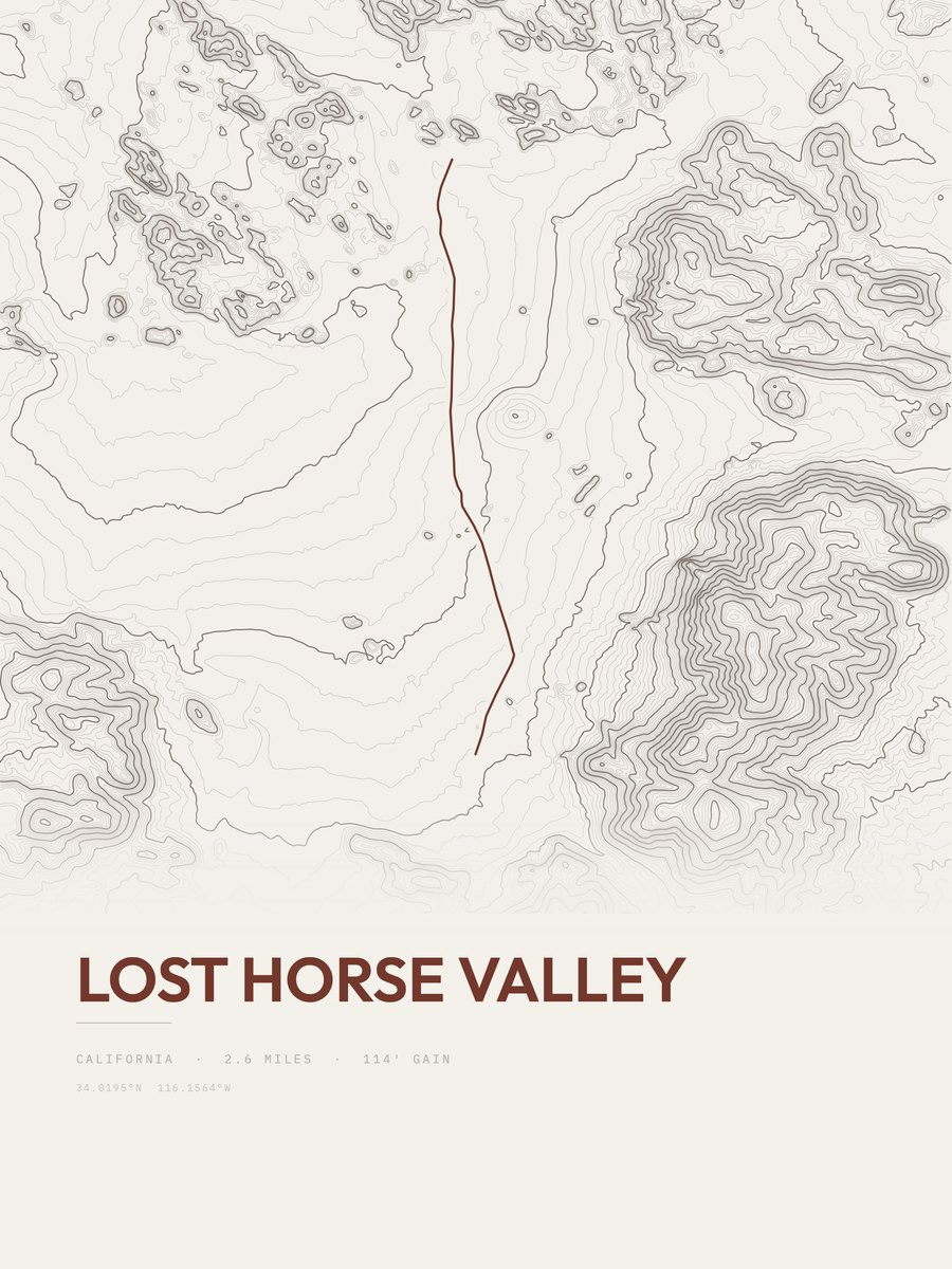
| 11 | Lost Horse ValleyDeserts | 2.6 | 114 | 44 | 2% | 4,201 to 4,312 | 24.3 | |
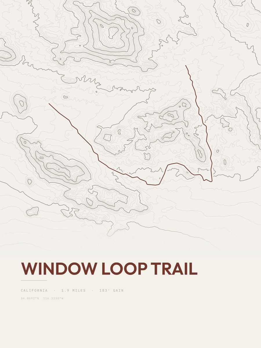
| 12 | Window Loop TrailDeserts | 1.9 | 183 | 96 | 8% | 4,010 to 4,145 | 26.4 | |
| 13 | Pine City TrailDeserts | 2.1 | 186 | 89 | 9% | 4,447 to 4,612 | 27.9 | |
| 14 | Hi-View Nature TrailDeserts | 1.3 | 312 | 240 | 24% | 4,130 to 4,443 | 28.5 | |
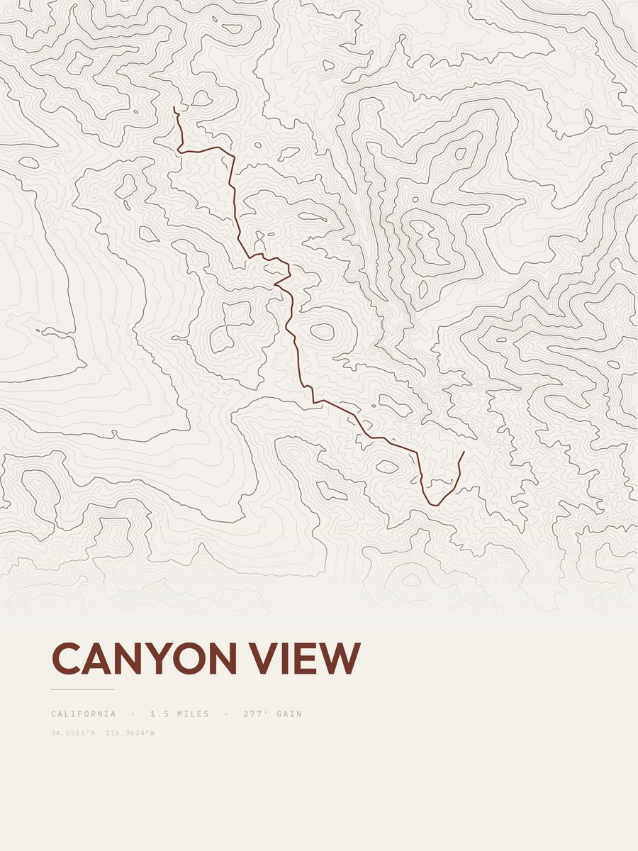
| 15 | Canyon ViewDeserts | 1.5 | 277 | 185 | 20% | 4,360 to 4,587 | 28.8 | |
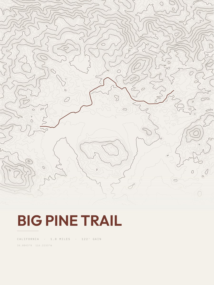
| 16 | Big Pine TrailDeserts | 1.8 | 241 | 134 | 18% | 4,055 to 4,232 | 29.5 | |
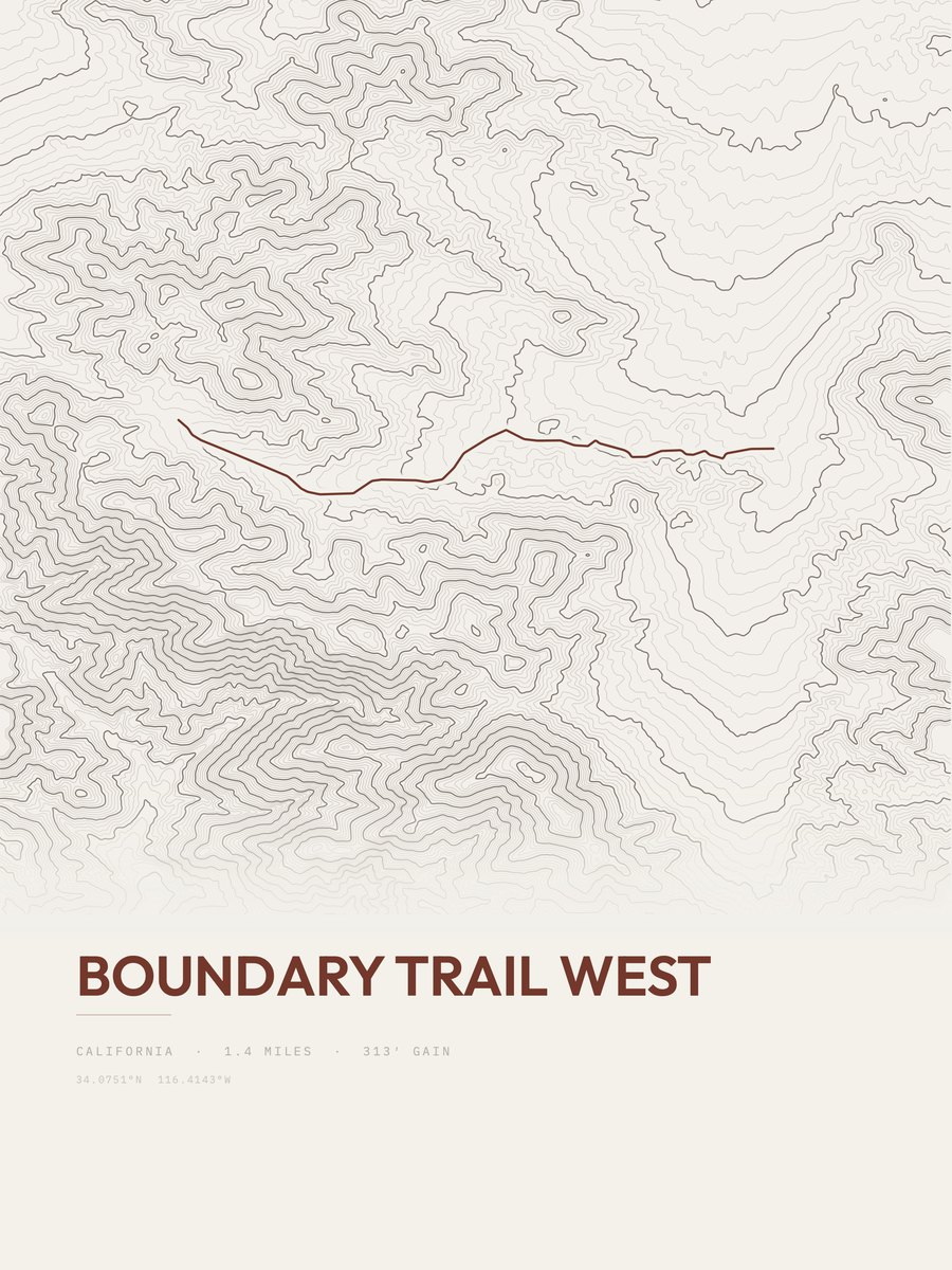
| 17 | Boundary Trail WestDeserts | 1.4 | 313 | 224 | 9% | 3,966 to 4,278 | 29.6 | |
| 18 | Mastodon Peak TrailDeserts | 1.4 | 316 | 226 | 25% | 3,042 to 3,344 | 29.7 | |
| 19 | Split Rock Loop TrailDeserts | 2 | 228 | 114 | 13% | 4,228 to 4,365 | 30.2 | |
| 20 | Eureka Peak RoadDeserts | 1.3 | 367 | 282 | 10% | 5,096 to 5,463 | 30.9 | |
| 21 | Short Loop TrailDeserts | 1.5 | 387 | 258 | 18% | 4,097 to 4,484 | 34.1 | |
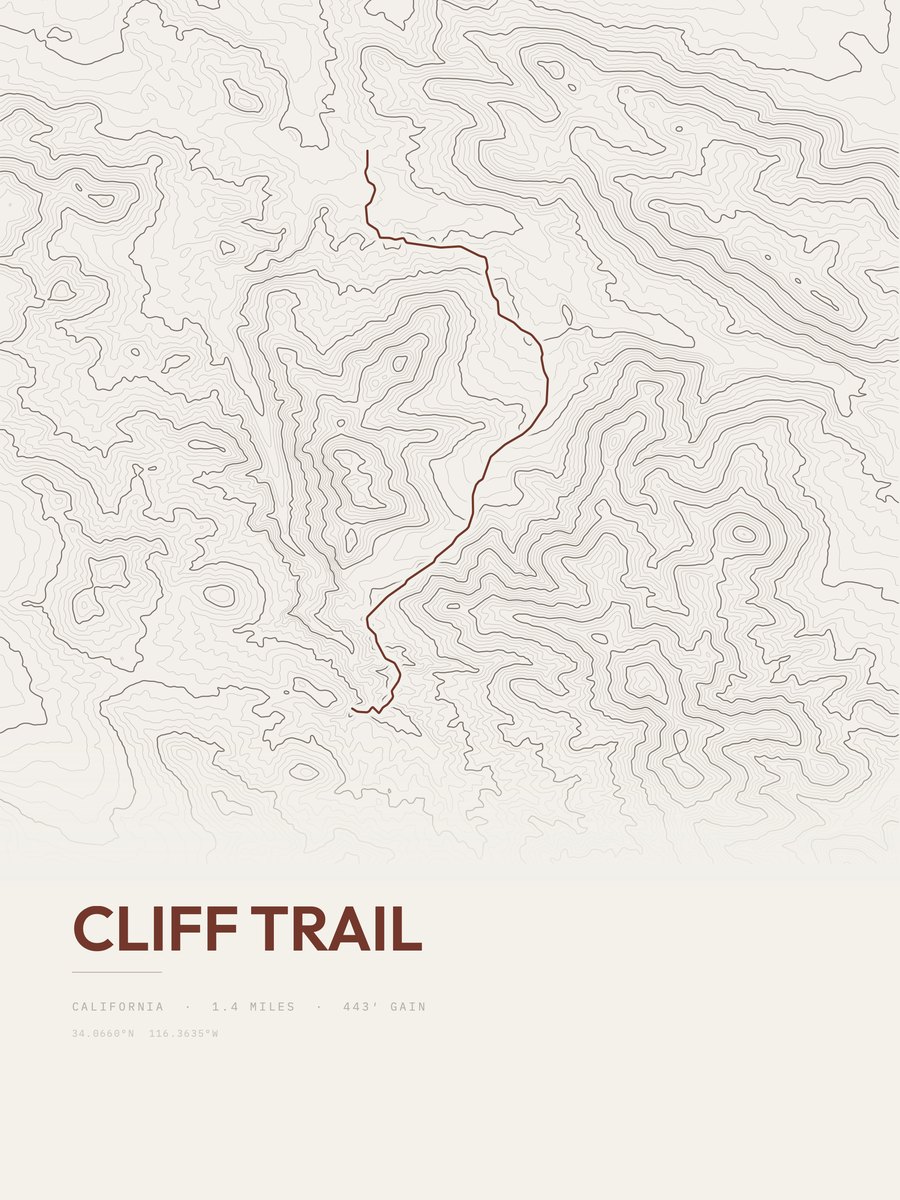
| 22 | Cliff TrailDeserts | 1.4 | 443 | 316 | 23% | 4,132 to 4,549 | 35.2 | |
| 23 | Johnny Lang ConnectorDeserts | 1.7 | 385 | 226 | 16% | 3,931 to 4,266 | 36.2 | |
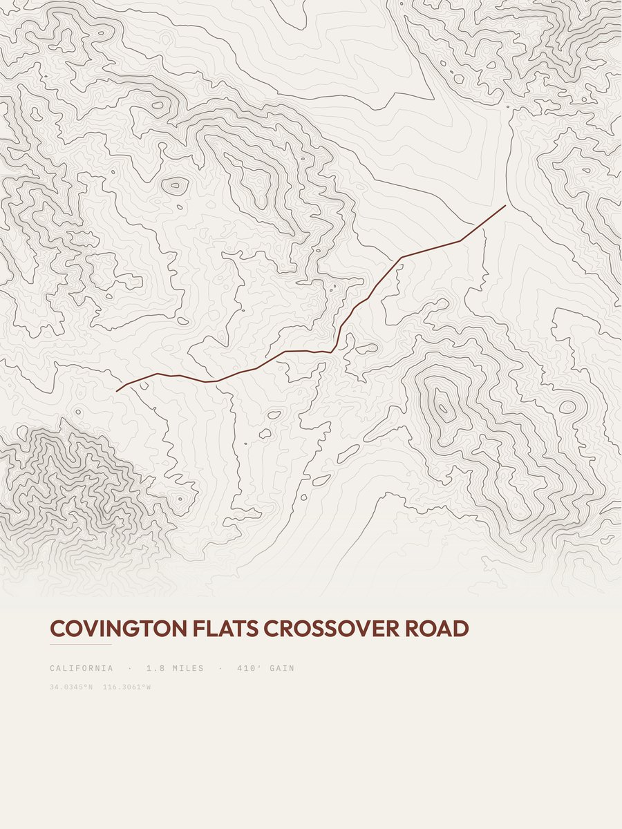
| 24 | Covington Flats Crossover RoadDeserts | 1.8 | 410 | 228 | 7% | 4,747 to 5,158 | 38.4 | |
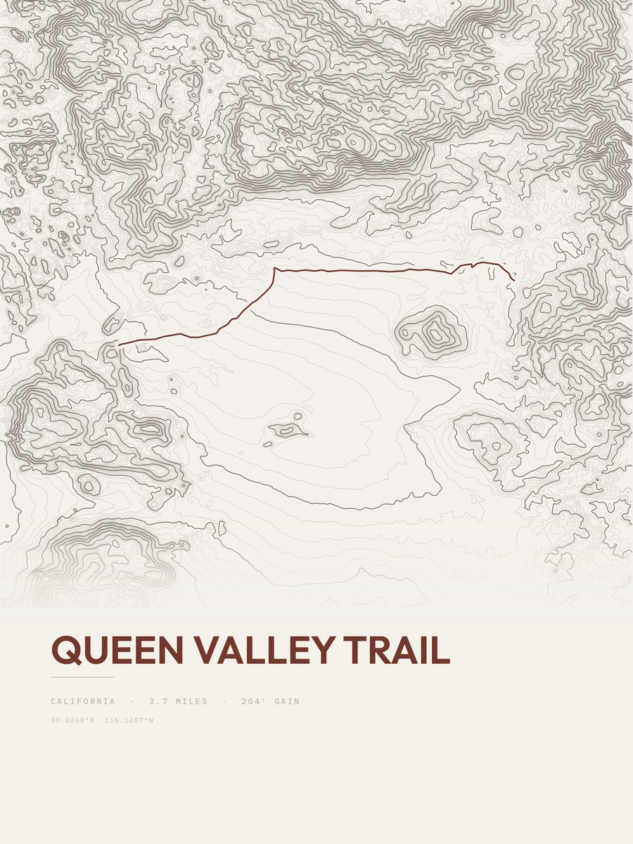
| 25 | Queen Valley TrailDeserts | 3.7 | 204 | 55 | 4% | 4,322 to 4,518 | 38.9 |










How this list is ranked
Rating = the square root of 2 x elevation gain (ft) x distance (miles), the gain-and-distance formula Shenandoah National Park publishes for its own trails. Bands: under 50 easiest, 50 to 100 moderate, 100 to 150 moderately strenuous, 150 to 200 strenuous, 200 and over very strenuous.
This list: band easiest (under 50), 1 to 6 miles, no more than 500 ft of gain, ordered by rating asc, miles asc, capped at 25. The rating column is computed from the miles and gain printed in the same row, the numbers each trail page uses, so every row can be checked from the row itself. The rating says nothing about exposure, scrambling, altitude or conditions.
Only trails with a full page count, so "Joshua Tree National Park" here means the 83 trails in Joshua Tree National Park in our dataset, not every trail in Joshua Tree National Park.
Each trail page shows the full elevation profile behind these numbers and the same data drawn as a topographic print, made to order. Start with Echo T / Barker Dam Trail.
Easiest hikes elsewhere.
The same ranking for other parks in our dataset.