The easiest hikes in Yosemite National Park, by the numbers
Of the 252 trails in Yosemite National Park in our dataset, 41 (16 percent) rate easiest on the gain-and-distance scale we use, run 1 to 6 miles and climb 500 ft or less; these are the 25 with the lowest rating.
Lower Yosemite Fall Trail has the lowest rating: 75 ft of gain over 1 mile, 75 ft per mile.
Across the 25, gain runs from 75 to 402 ft and distance from 1 mile to 3 miles; the median gain is 258 ft and the median distance 1.5 miles.
22 of the 25 are point-to-point routes; the rest are loop (1) or out-and-back (1).
| # | Trail | Miles | Gain (ft) | Ft per mile | Max grade | Elevation (ft) | Rating | Profile |
|---|---|---|---|---|---|---|---|---|
| 1 | Lower Yosemite Fall TrailHigh Sierra | 1 | 75 | 75 | 10% | 3,964 to 4,033 | 12.2 | |
| 2 | Dewey Point MeadowsHigh Sierra | 1.9 | 109 | 57 | 6% | 7,267 to 7,345 | 20.4 | |
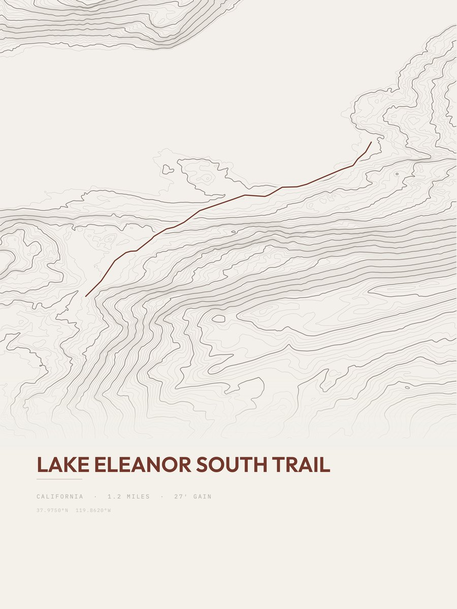
| 3 | Lake Eleanor South TrailHigh Sierra | 1.2 | 191 | 159 | 14% | 4,692 to 4,861 | 21.4 | |
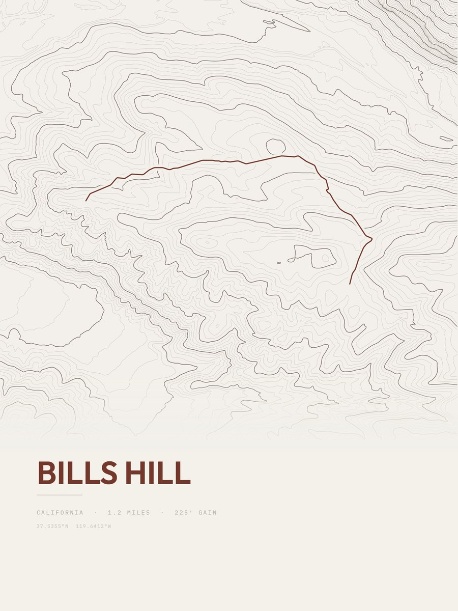
| 4 | Bills HillHigh Sierra | 1.2 | 225 | 188 | 12% | 4,360 to 4,562 | 23.2 | |
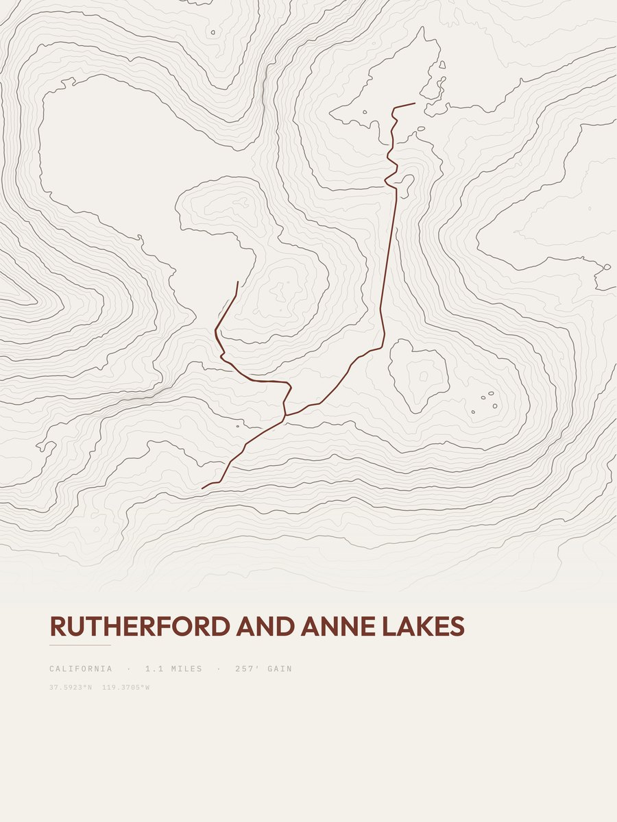
| 5 | Rutherford and Anne LakesHigh Sierra | 1.1 | 257 | 234 | 22% | 9,521 to 9,761 | 23.8 | |
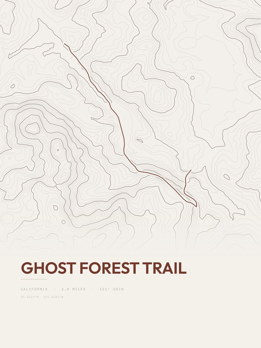
| 6 | Ghost Forest TrailHigh Sierra | 2 | 151 | 76 | 7% | 6,980 to 7,087 | 24.6 | |
| 7 | O'Shaughnessy Dam ViewpointHigh Sierra | 1 | 313 | 313 | 13% | 3,501 to 3,814 | 25 | |
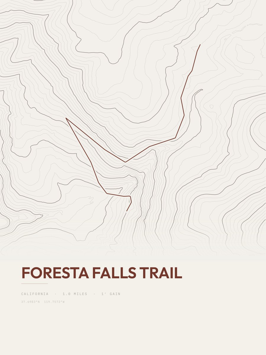
| 8 | Foresta Falls TrailHigh Sierra | 1 | 316 | 316 | 9% | 3,992 to 4,308 | 25.1 | |
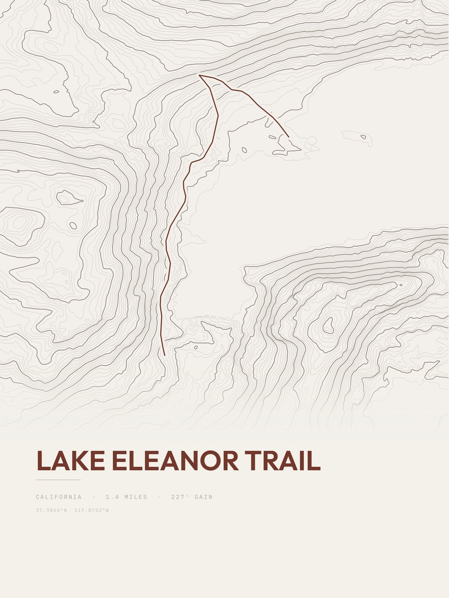
| 9 | Lake Eleanor TrailHigh Sierra | 1.4 | 227 | 162 | 15% | 4,676 to 4,801 | 25.2 | |
| 10 | Sentinel Dome TrailHigh Sierra | 1.3 | 248 | 191 | 18% | 7,713 to 7,961 | 25.4 | |
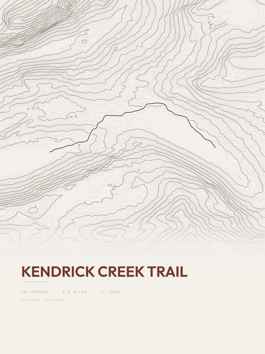
| 11 | Kendrick Creek TrailHigh Sierra | 1.4 | 258 | 184 | 17% | 8,670 to 8,922 | 26.9 | |
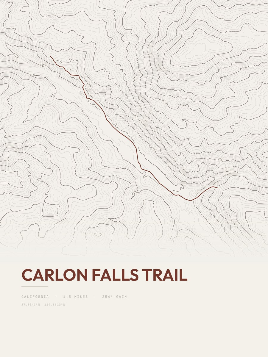
| 12 | Carlon Falls TrailHigh Sierra | 1.5 | 254 | 169 | 18% | 4,331 to 4,492 | 27.6 | |
| 13 | Lembert Dome TrailHigh Sierra | 1 | 397 | 397 | 44% | 8,773 to 9,170 | 28.2 | |
| 14 | Young LakesHigh Sierra | 1.7 | 242 | 142 | 21% | 9,731 to 9,971 | 28.7 | |
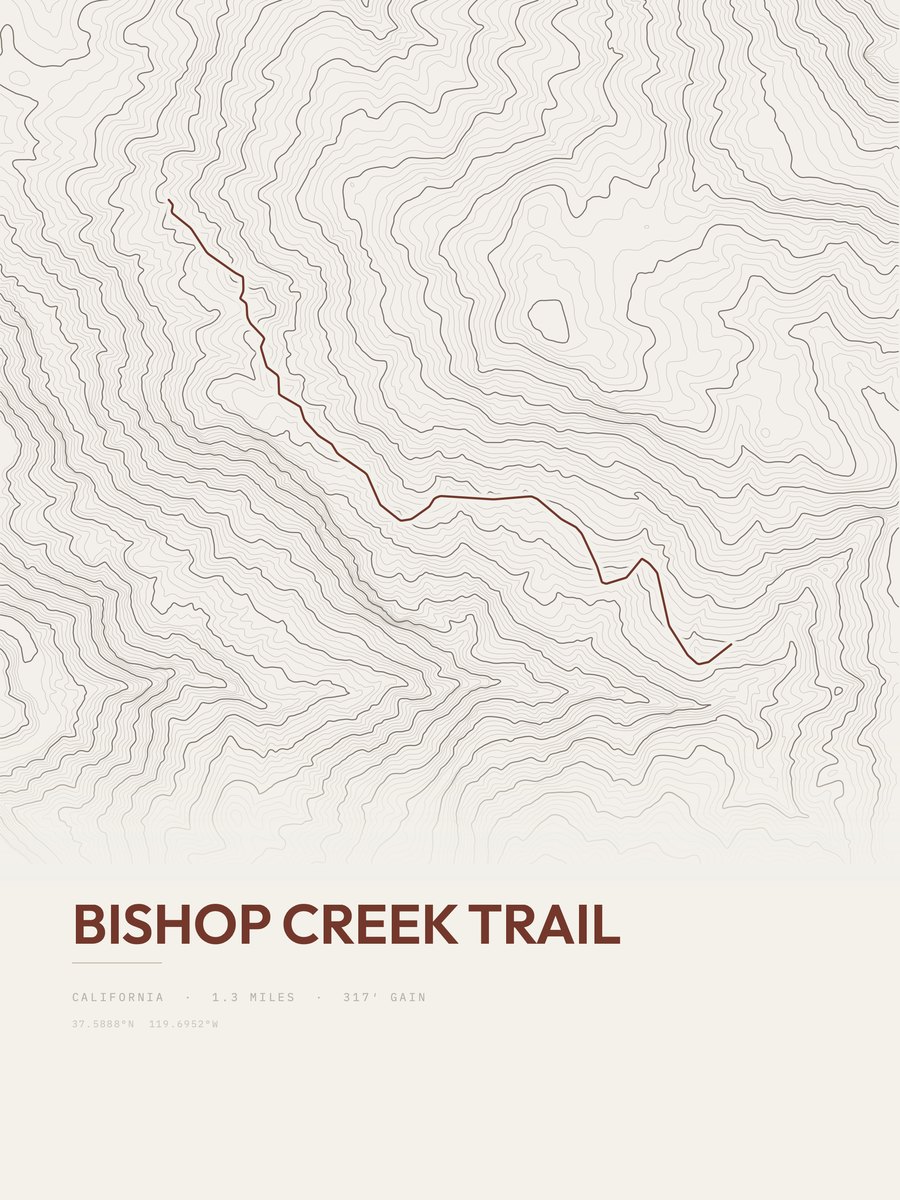
| 15 | Bishop Creek TrailHigh Sierra | 1.3 | 317 | 244 | 14% | 4,729 to 4,957 | 28.7 | |
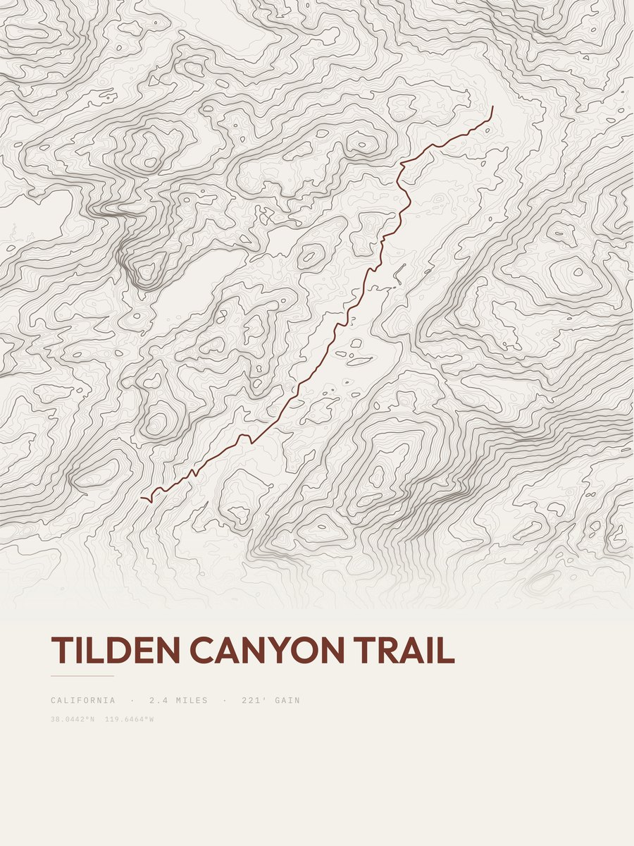
| 16 | Tilden Canyon TrailHigh Sierra | 2.4 | 221 | 92 | 25% | 8,224 to 8,494 | 32.6 | |
| 17 | Pacific Crest Trail | 3 | 177 | 59 | 8% | 8,565 to 8,742 | 32.6 | |
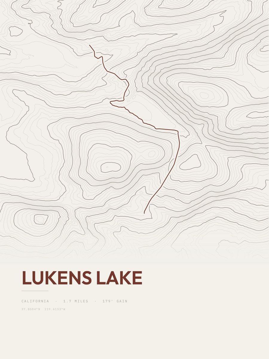
| 18 | Lukens LakeHigh Sierra | 1.7 | 341 | 201 | 17% | 8,029 to 8,346 | 34 | |
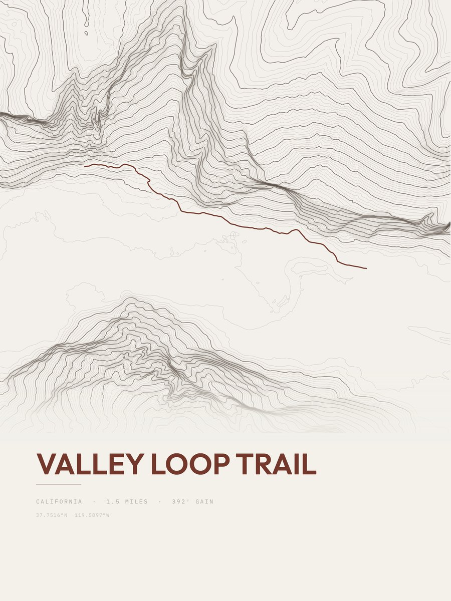
| 19 | Valley Loop Trail | 1.5 | 392 | 261 | 38% | 3,976 to 4,416 | 34.3 | |
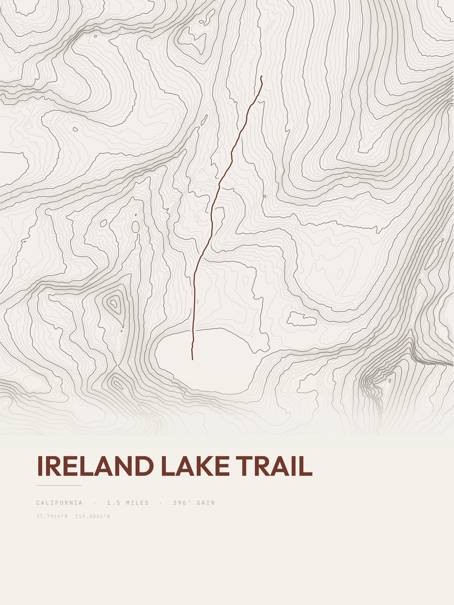
| 20 | Ireland Lake Trail | 1.5 | 396 | 264 | 15% | 10,395 to 10,831 | 34.5 | |
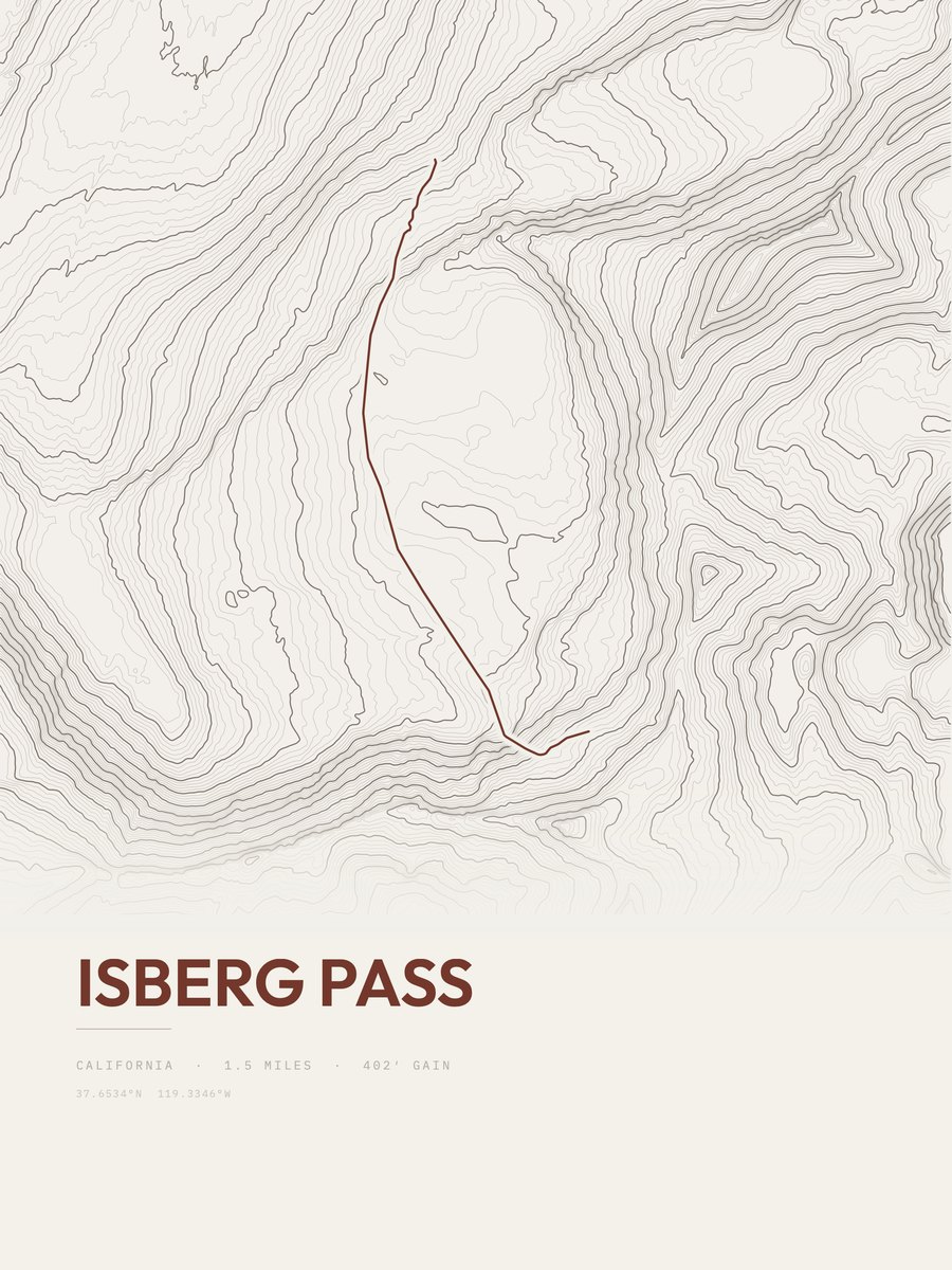
| 21 | Isberg PassHigh Sierra | 1.5 | 402 | 268 | 27% | 9,898 to 10,273 | 34.7 | |
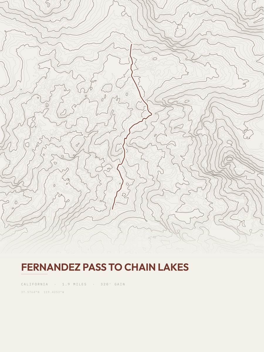
| 22 | Fernandez Pass to Chain LakesHigh Sierra | 1.9 | 320 | 168 | 17% | 8,474 to 8,729 | 34.9 | |
| 23 | Ireland Lake TrailHigh Sierra | 1.6 | 381 | 238 | 9% | 10,431 to 10,812 | 34.9 | |
| 24 | Taft PointHigh Sierra | 2.3 | 276 | 120 | 25% | 7,502 to 7,721 | 35.6 | |
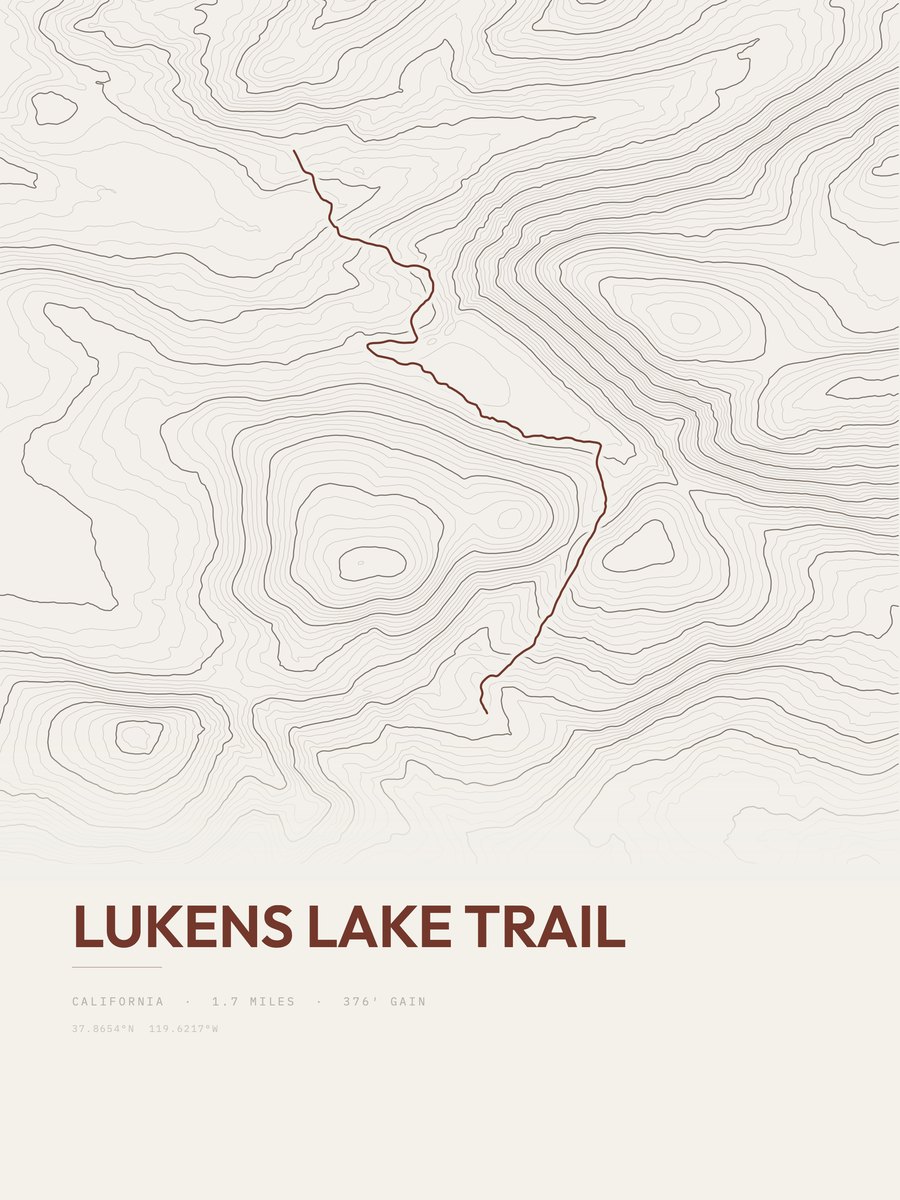
| 25 | Lukens Lake Trail | 1.7 | 376 | 221 | 18% | 8,015 to 8,398 | 35.8 |









How this list is ranked
Rating = the square root of 2 x elevation gain (ft) x distance (miles), the gain-and-distance formula Shenandoah National Park publishes for its own trails. Bands: under 50 easiest, 50 to 100 moderate, 100 to 150 moderately strenuous, 150 to 200 strenuous, 200 and over very strenuous.
This list: band easiest (under 50), 1 to 6 miles, no more than 500 ft of gain, ordered by rating asc, miles asc, capped at 25. The rating column is computed from the miles and gain printed in the same row, the numbers each trail page uses, so every row can be checked from the row itself. The rating says nothing about exposure, scrambling, altitude or conditions.
Only trails with a full page count, so "Yosemite National Park" here means the 252 trails in Yosemite National Park in our dataset, not every trail in Yosemite National Park.
Each trail page shows the full elevation profile behind these numbers and the same data drawn as a topographic print, made to order. Start with Lower Yosemite Fall Trail.
Easiest hikes elsewhere.
The same ranking for other parks in our dataset.