The easiest hikes in Rocky Mountain National Park, by the numbers
Of the 207 trails in Rocky Mountain National Park in our dataset, 26 (13 percent) rate easiest on the gain-and-distance scale we use, run 1 to 6 miles and climb 500 ft or less; these are the 25 with the lowest rating.
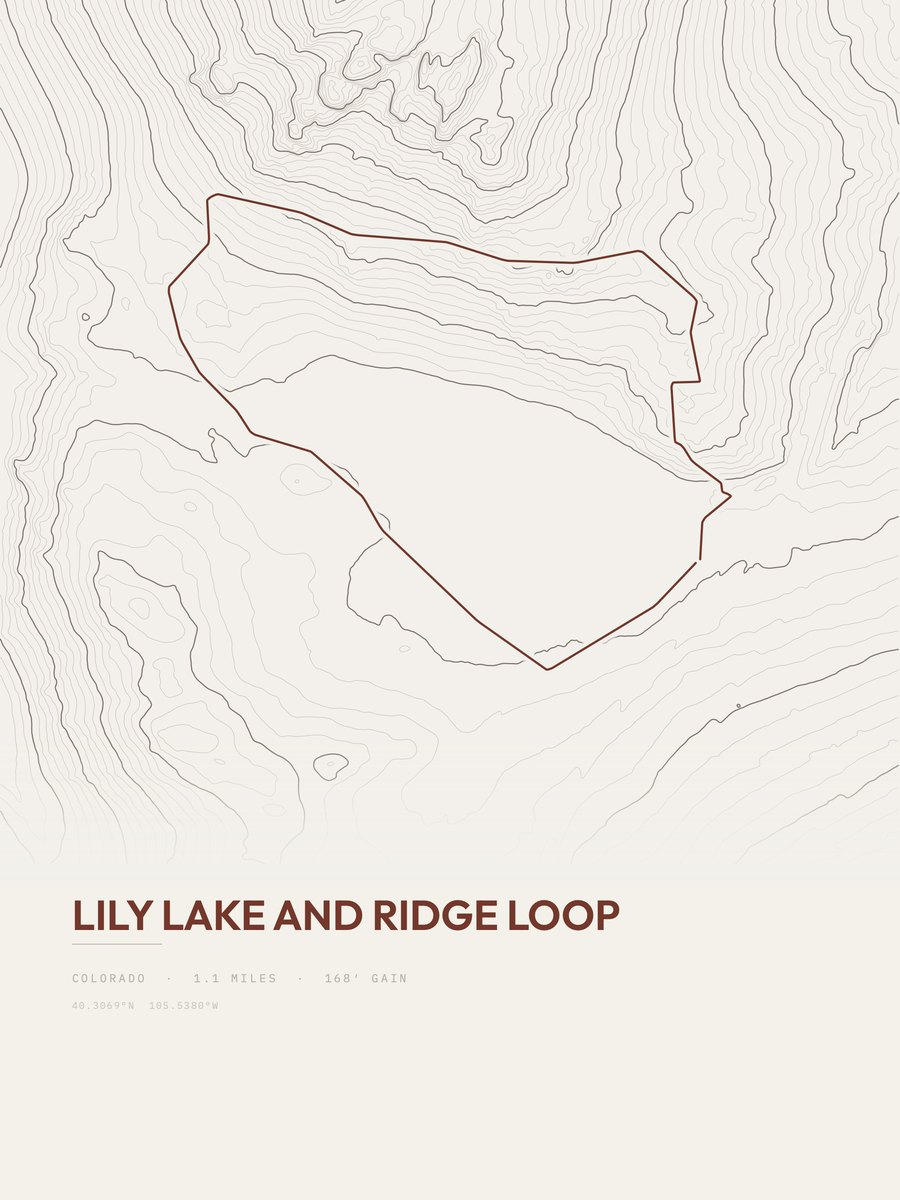
Lily Lake and Ridge Loop has the lowest rating: 168 ft of gain over 1.1 miles, 153 ft per mile.
Across the 25, gain runs from 119 to 448 ft and distance from 1 mile to 2.7 miles; the median gain is 236 ft and the median distance 1.3 miles.
23 of the 25 are point-to-point routes; the rest are loop (2).
| # | Trail | Miles | Gain (ft) | Ft per mile | Max grade | Elevation (ft) | Rating | Profile |
|---|---|---|---|---|---|---|---|---|
| 1 | Lily Lake and Ridge LoopFront Range | 1.1 | 168 | 153 | 25% | 8,922 to 9,089 | 19.2 | |
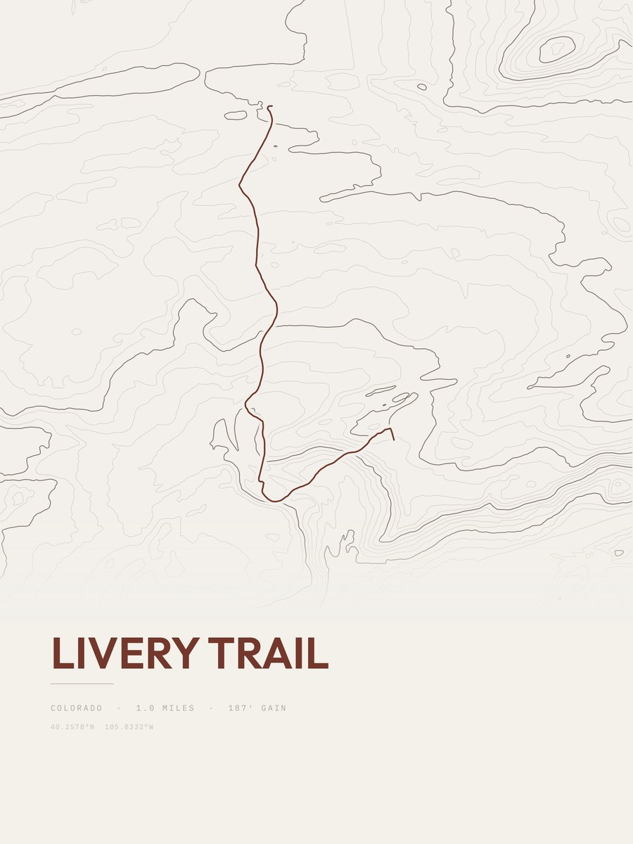
| 2 | Livery Trail | 1 | 187 | 187 | 11% | 8,473 to 8,701 | 19.3 | |
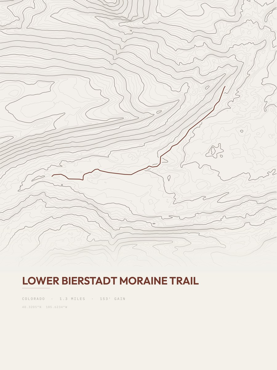
| 3 | Lower Bierstadt Moraine TrailFront Range | 1.3 | 153 | 118 | 37% | 8,721 to 8,913 | 19.9 | |
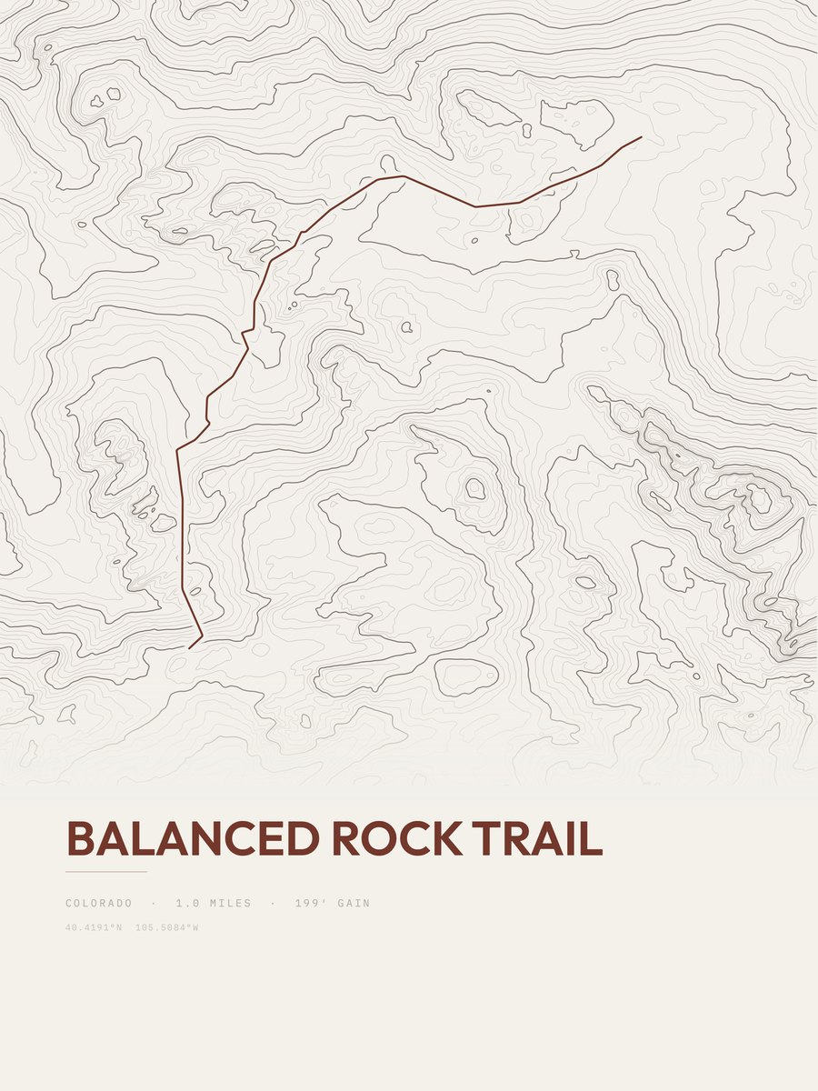
| 4 | Balanced Rock TrailFront Range | 1 | 199 | 199 | 17% | 8,605 to 8,765 | 19.9 | |
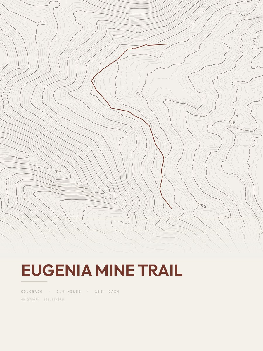
| 5 | Eugenia Mine TrailFront Range | 1.4 | 158 | 113 | 12% | 9,675 to 9,848 | 21 | |
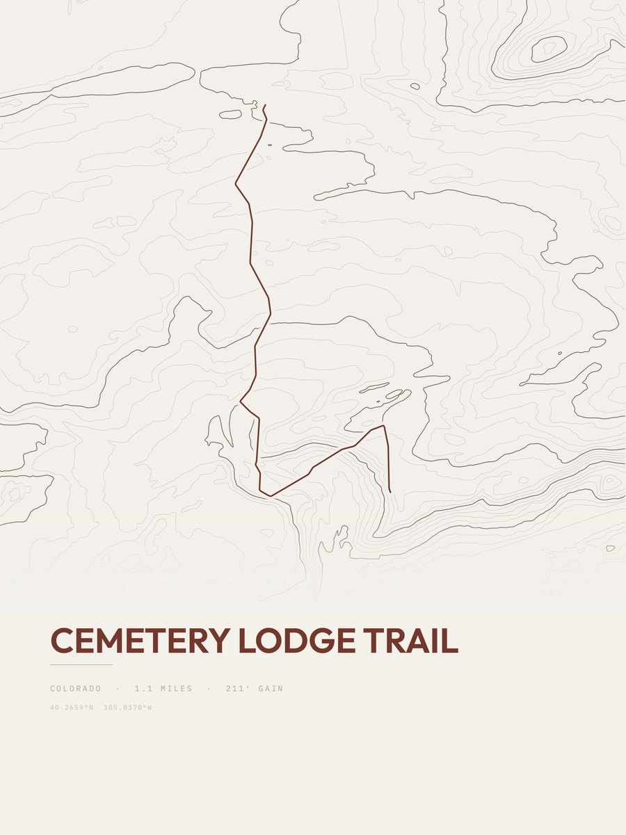
| 6 | Cemetery Lodge TrailFront Range | 1.1 | 211 | 192 | 20% | 8,537 to 8,732 | 21.5 | |
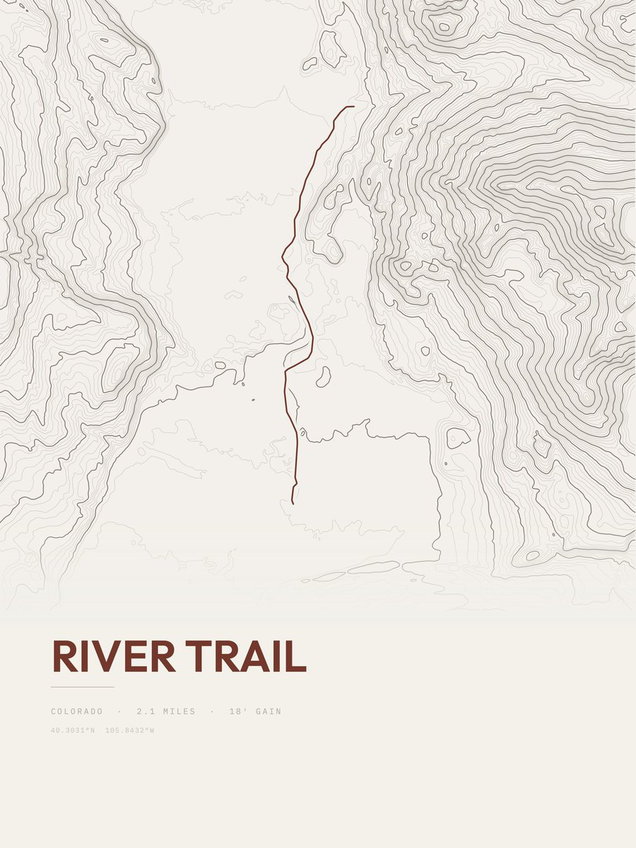
| 7 | River TrailFront Range | 2.1 | 119 | 57 | 5% | 8,686 to 8,787 | 22.4 | |
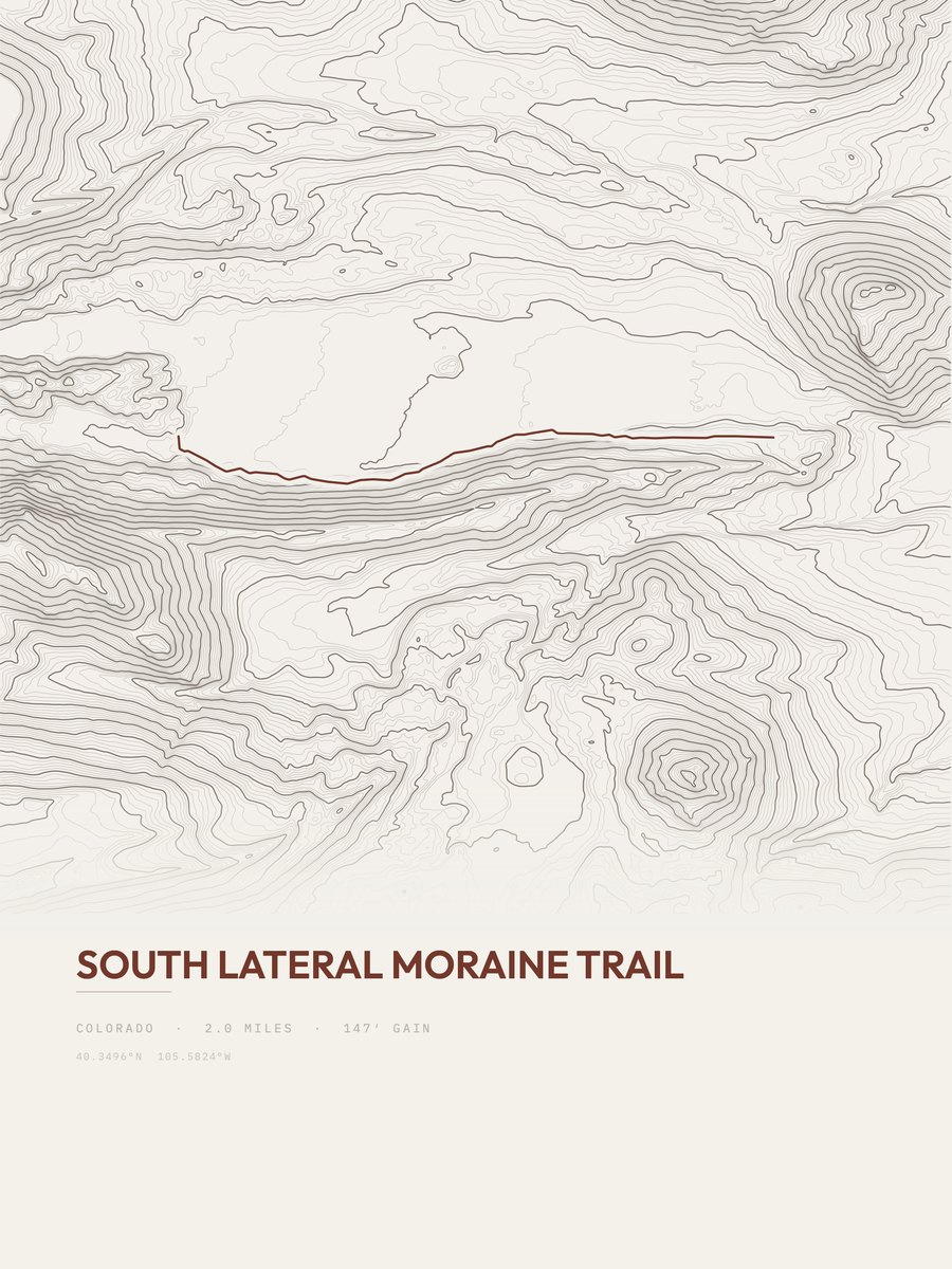
| 8 | South Lateral Moraine TrailFront Range | 2 | 147 | 74 | 11% | 8,044 to 8,161 | 24.2 | |
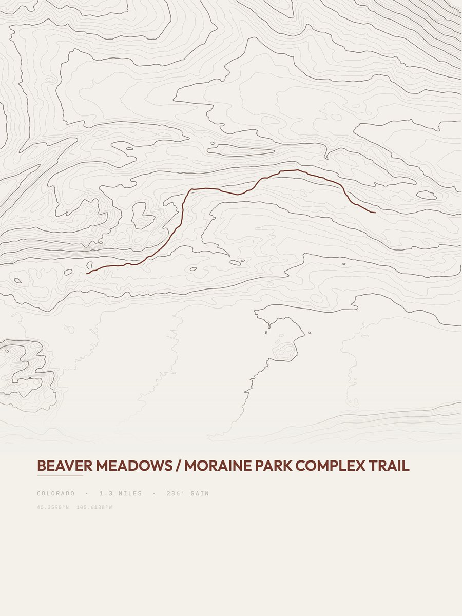
| 9 | Beaver Meadows | 1.3 | 236 | 182 | 12% | 8,175 to 8,348 | 24.8 | |
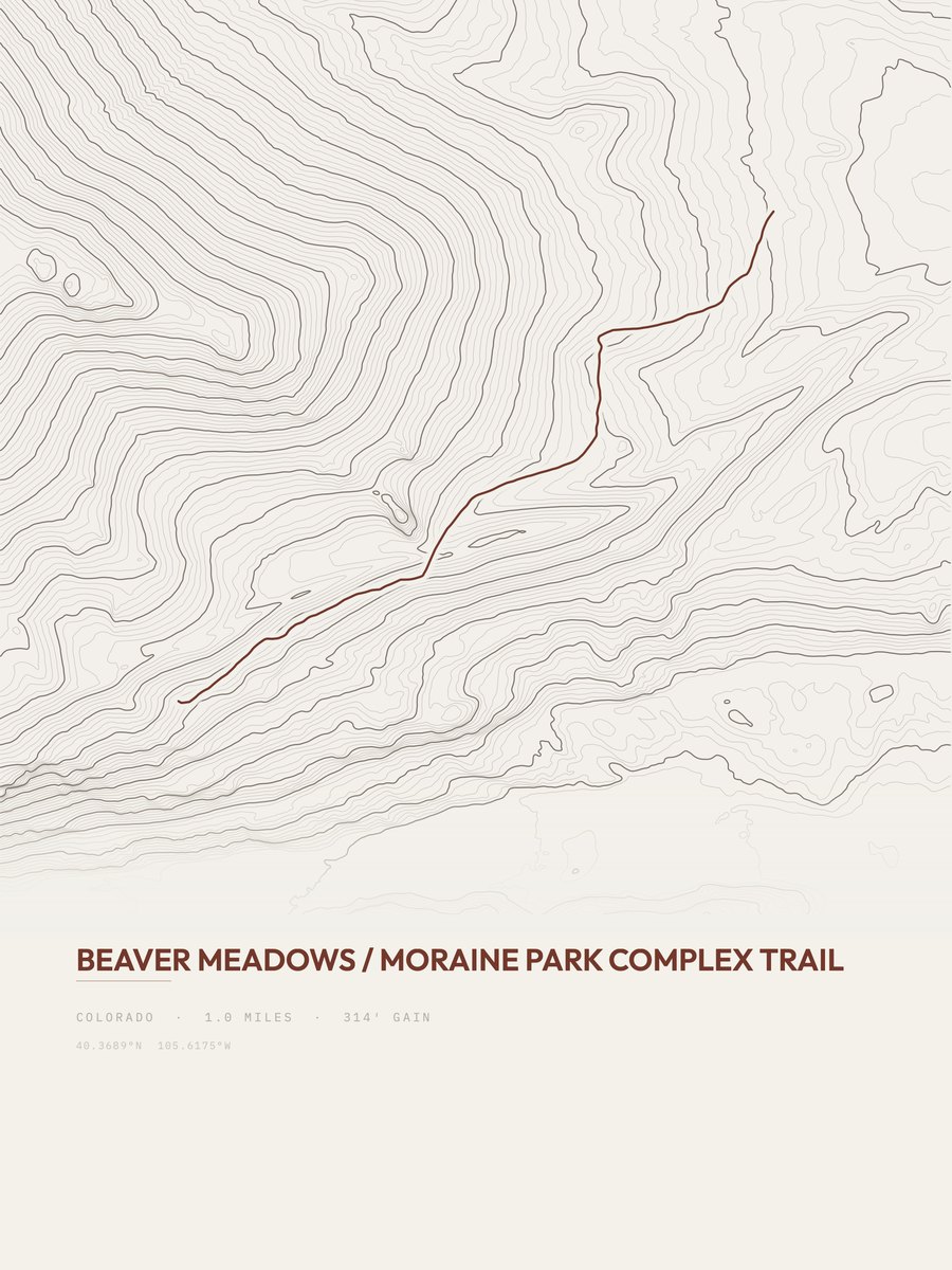
| 10 | Beaver Meadows | 1 | 314 | 314 | 18% | 8,525 to 8,867 | 25.1 | |
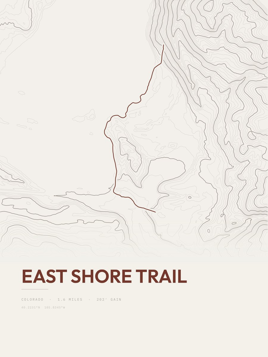
| 11 | East Shore Trail | 1.6 | 202 | 126 | 25% | 8,326 to 8,574 | 25.4 | |
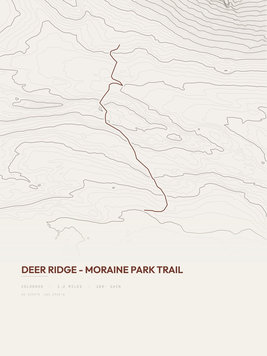
| 12 | Deer Ridge - Moraine Park TrailFront Range | 1.2 | 280 | 233 | 11% | 8,115 to 8,376 | 25.9 | |
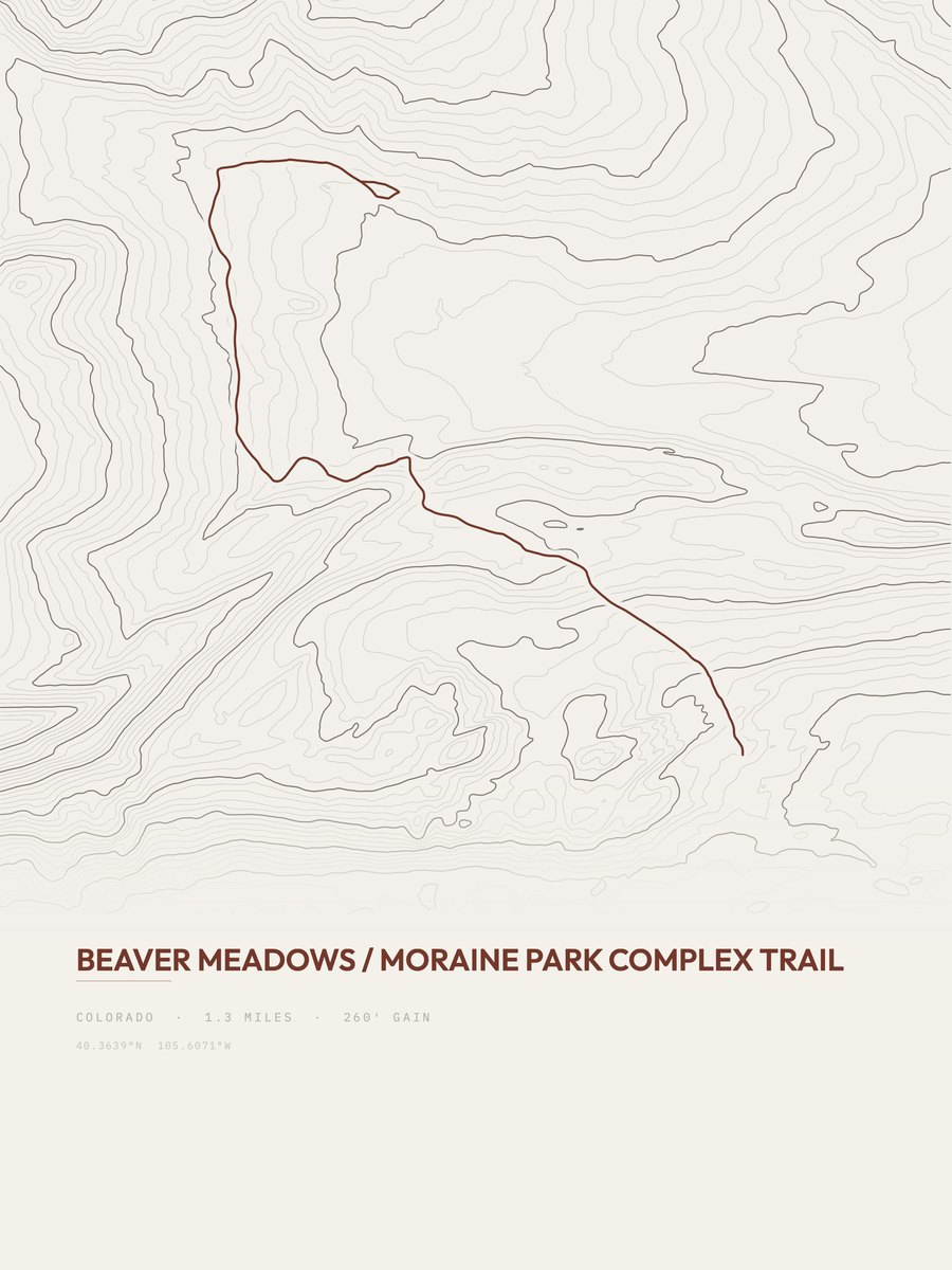
| 13 | Beaver Meadows | 1.3 | 260 | 200 | 21% | 8,253 to 8,532 | 26 | |
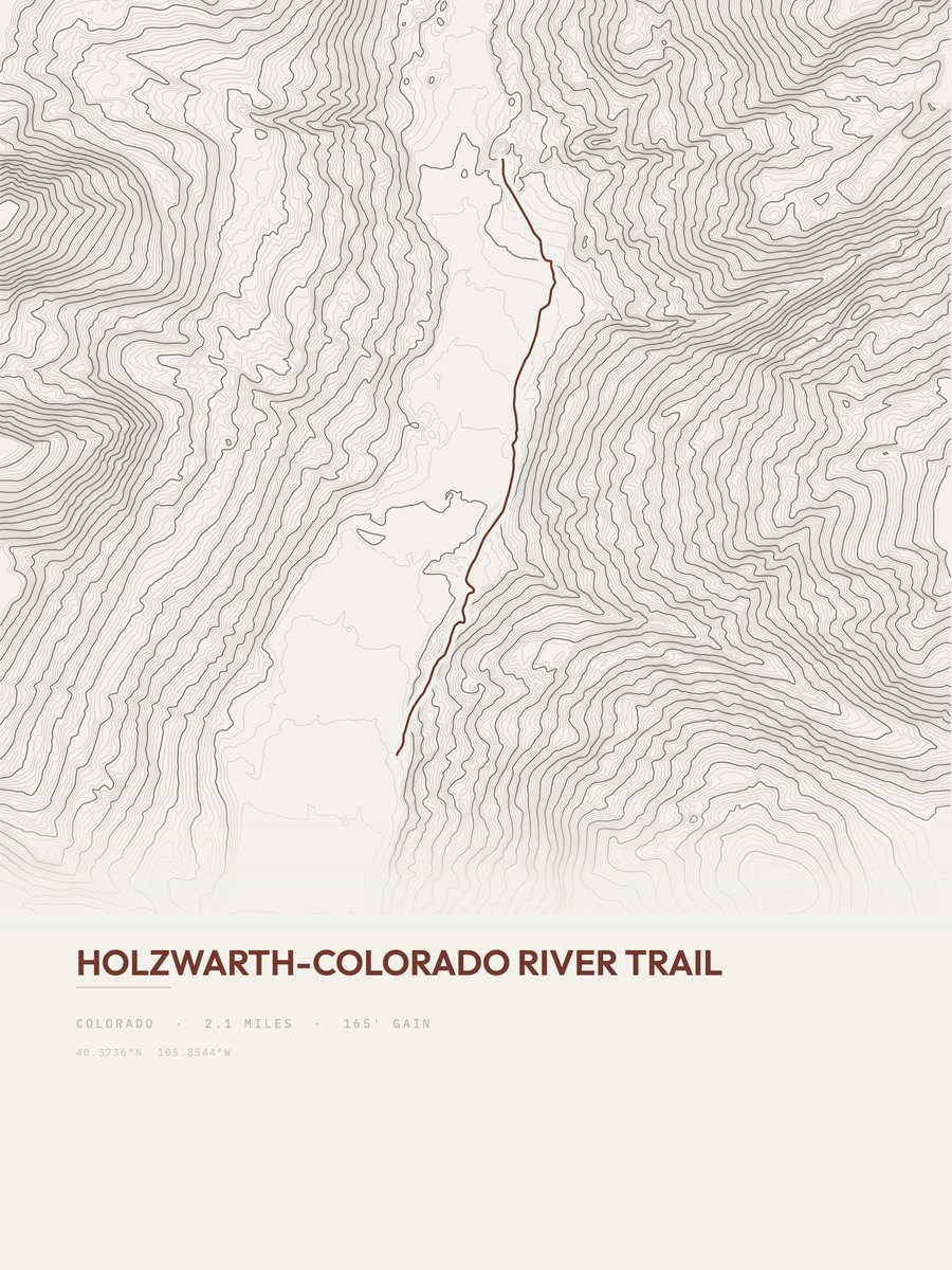
| 14 | Holzwarth-Colorado River TrailFront Range | 2.1 | 165 | 79 | 9% | 8,904 to 9,038 | 26.3 | |
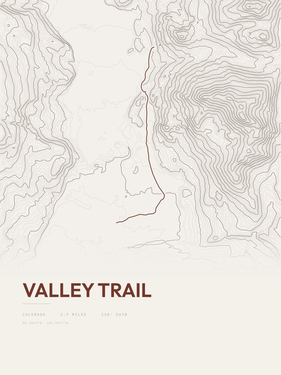
| 15 | Valley TrailFront Range | 2.7 | 138 | 51 | 12% | 8,681 to 8,837 | 27.3 | |
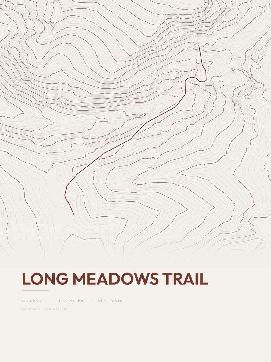
| 16 | Long Meadows TrailFront Range | 1.2 | 312 | 260 | 36% | 10,265 to 10,503 | 27.4 | |
| 17 | Dream Lake TrailFront Range | 1 | 432 | 432 | 20% | 9,489 to 9,920 | 29.4 | |
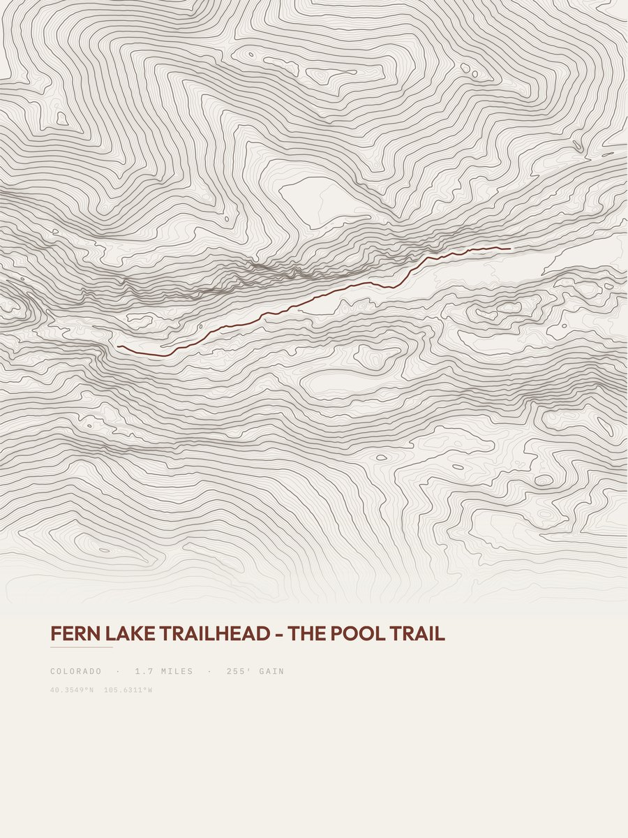
| 18 | The Pool Trail | 1.7 | 255 | 150 | 13% | 8,199 to 8,394 | 29.4 | |
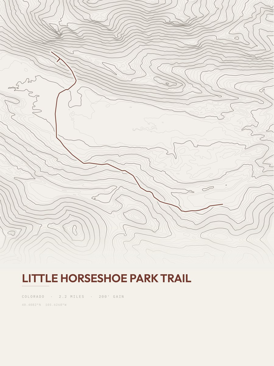
| 19 | Little Horseshoe Park TrailFront Range | 2.2 | 200 | 91 | 7% | 8,522 to 8,715 | 29.7 | |
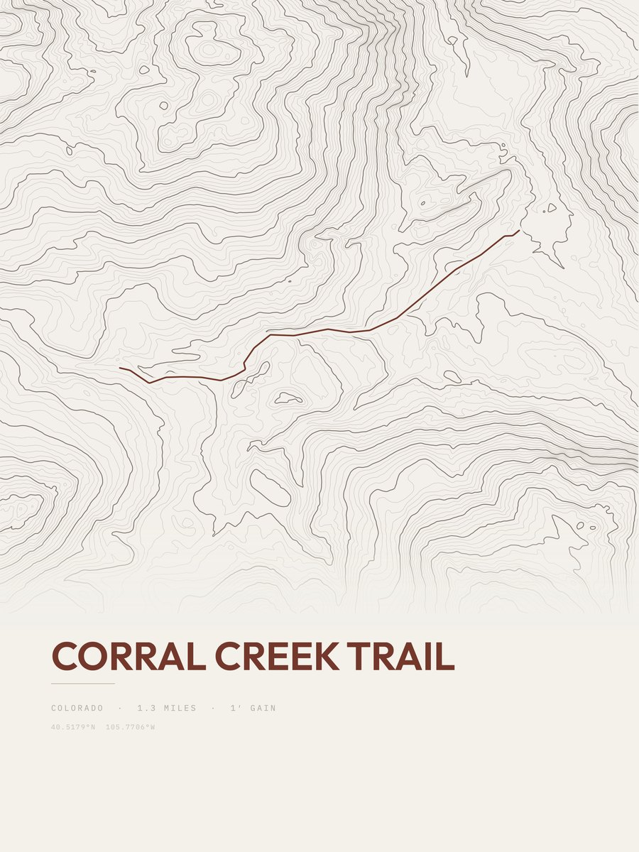
| 20 | Corral Creek TrailFront Range | 1.3 | 345 | 265 | 10% | 9,684 to 10,029 | 29.9 | |
| 21 | Mirror Lake TrailFront Range | 1.5 | 319 | 213 | 11% | 10,711 to 11,020 | 30.9 | |
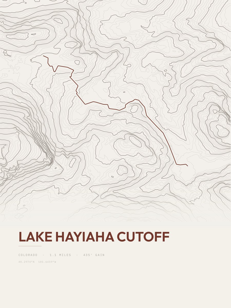
| 22 | Lake Hayiaha CutoffFront Range | 1.1 | 435 | 395 | 31% | 9,746 to 10,154 | 30.9 | |
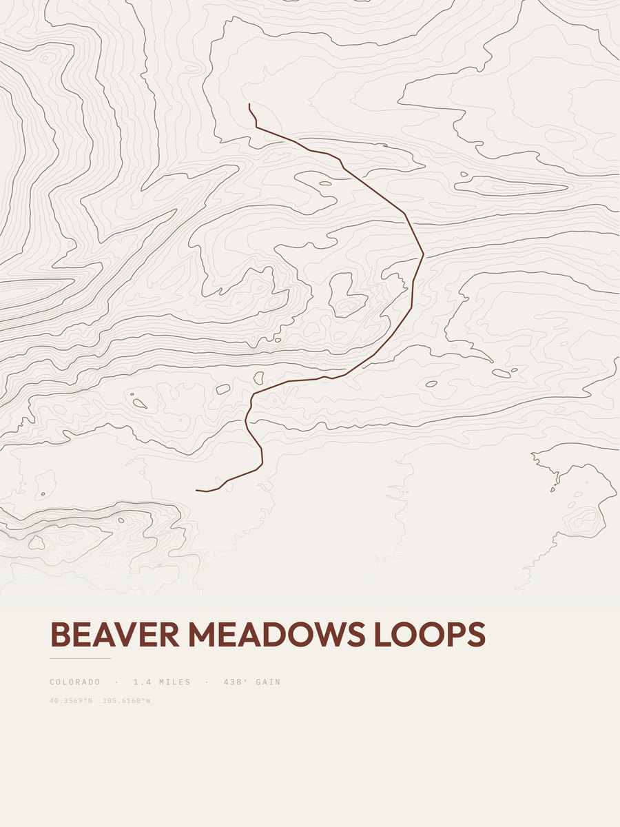
| 23 | Beaver Meadows LoopsFront Range | 1.4 | 438 | 313 | 22% | 8,101 to 8,474 | 35 | |
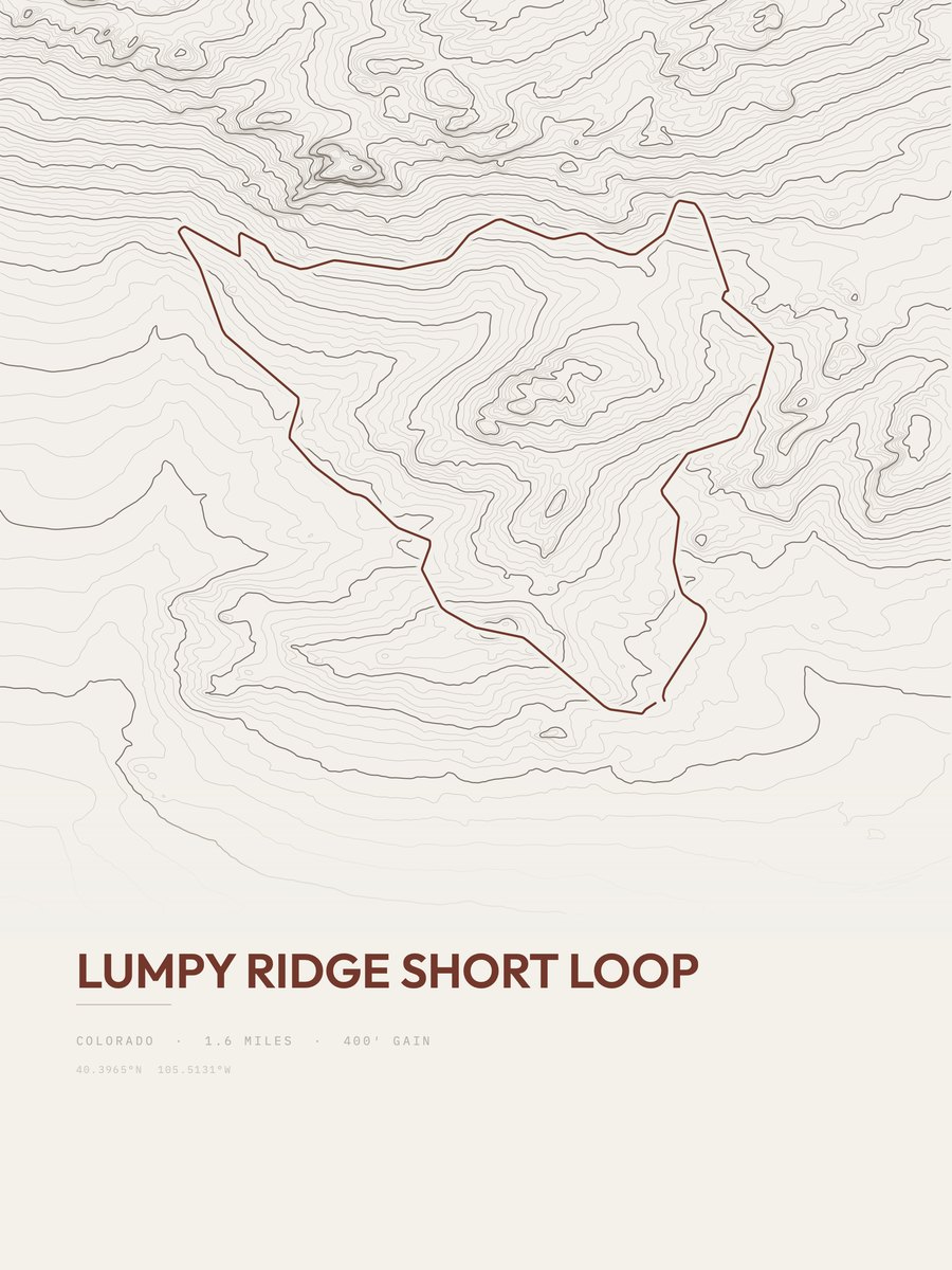
| 24 | Lumpy Ridge Short LoopFront Range | 1.6 | 400 | 250 | 23% | 7,844 to 8,182 | 35.8 | |
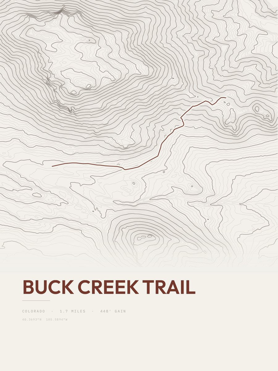
| 25 | Buck Creek TrailFront Range | 1.7 | 448 | 264 | 34% | 8,176 to 8,581 | 39 |


How this list is ranked
Rating = the square root of 2 x elevation gain (ft) x distance (miles), the gain-and-distance formula Shenandoah National Park publishes for its own trails. Bands: under 50 easiest, 50 to 100 moderate, 100 to 150 moderately strenuous, 150 to 200 strenuous, 200 and over very strenuous.
This list: band easiest (under 50), 1 to 6 miles, no more than 500 ft of gain, ordered by rating asc, miles asc, capped at 25. The rating column is computed from the miles and gain printed in the same row, the numbers each trail page uses, so every row can be checked from the row itself. The rating says nothing about exposure, scrambling, altitude or conditions.
Only trails with a full page count, so "Rocky Mountain National Park" here means the 207 trails in Rocky Mountain National Park in our dataset, not every trail in Rocky Mountain National Park.
Each trail page shows the full elevation profile behind these numbers and the same data drawn as a topographic print, made to order. Start with Lily Lake and Ridge Loop.
Easiest hikes elsewhere.
The same ranking for other parks in our dataset.