The hardest hikes in Picos de Europa National Park, by the numbers
Of the 33 trails in Picos de Europa National Park in our dataset, 18 (55 percent) rate strenuous or very strenuous on the gain-and-distance scale we use and run 3 to 30 miles with at least 1,500 ft of climb; all 18 are listed here, highest rating first.
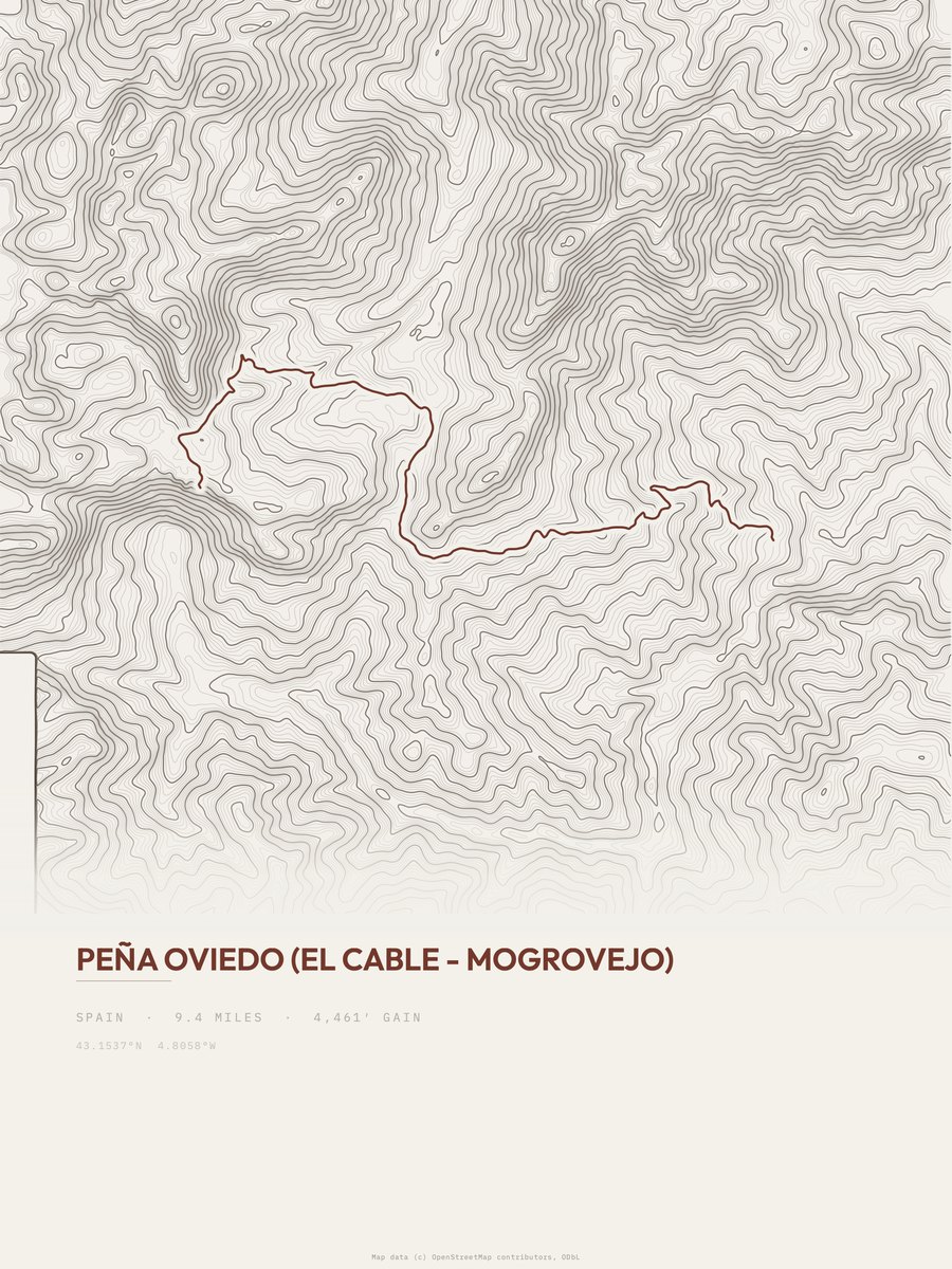
Peña Oviedo leads with 4,461 ft of gain over 9.4 miles, 475 ft per mile, with a steepest pitch of 33 percent.
Across the 18, gain runs from 2,020 to 6,443 ft and distance from 3 miles to 9.6 miles; the median gain is 3,097 ft and the median distance 7 miles.
14 of the 18 are point-to-point routes; the rest are loop (4).
| # | Trail | Miles | Gain (ft) | Ft per mile | Max grade | Elevation (ft) | Rating | Profile |
|---|---|---|---|---|---|---|---|---|
| 1 | Peña Oviedo | 9.4 | 4,461 | 475 | 33% | 2,132 to 6,408 | 289.6 | |
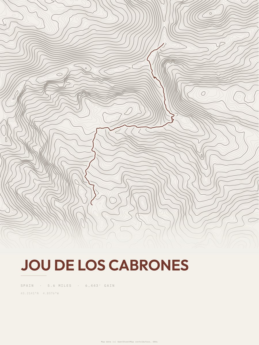
| 2 | Jou de los Cabrones | 5.6 | 6,443 | 1,151 | 68% | 733 to 6,828 | 268.6 | |
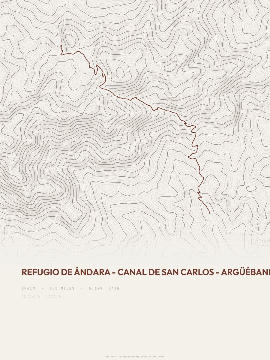
| 3 | Refugio de Ándara to Argüébanes | 6.5 | 5,109 | 786 | 56% | 1,622 to 6,744 | 257.7 | |
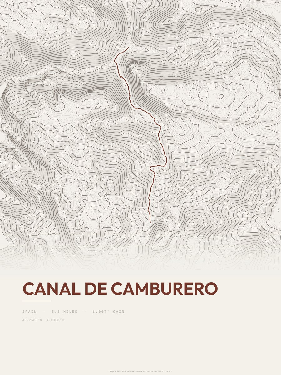
| 4 | Canal de Camburero | 5.3 | 6,007 | 1,133 | 73% | 733 to 6,443 | 252.3 | |
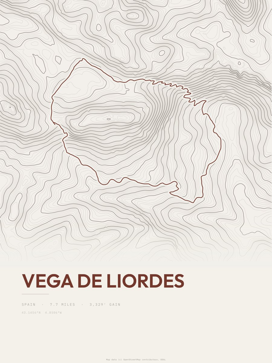
| 5 | Vega de Liordes | 7.7 | 3,329 | 432 | 57% | 3,589 to 6,681 | 226.4 | |
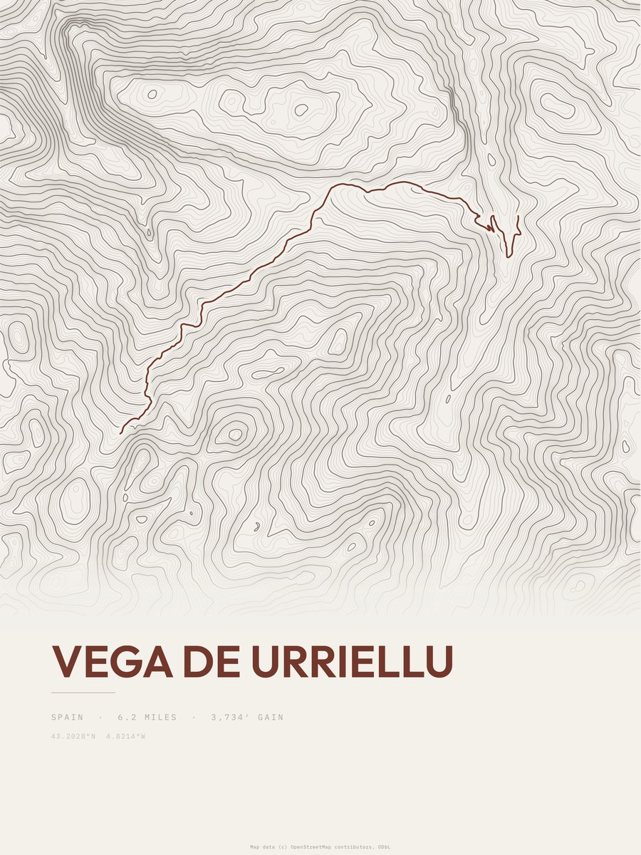
| 6 | Vega de Urriellu | 6.2 | 3,734 | 602 | 36% | 2,859 to 6,484 | 215.2 | |
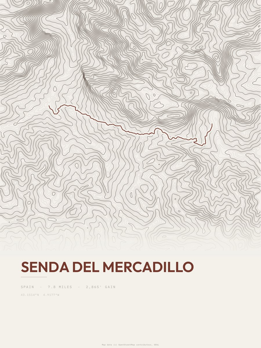
| 7 | Senda del Mercadillo | 7.8 | 2,865 | 367 | 39% | 3,023 to 5,857 | 211.4 | |
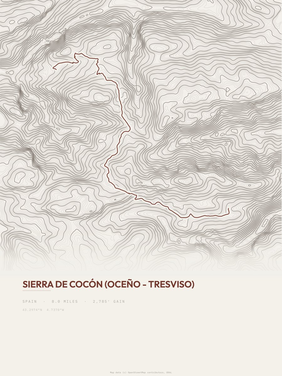
| 8 | Sierra de Cocón | 8 | 2,785 | 348 | 37% | 1,645 to 4,028 | 211.1 | |
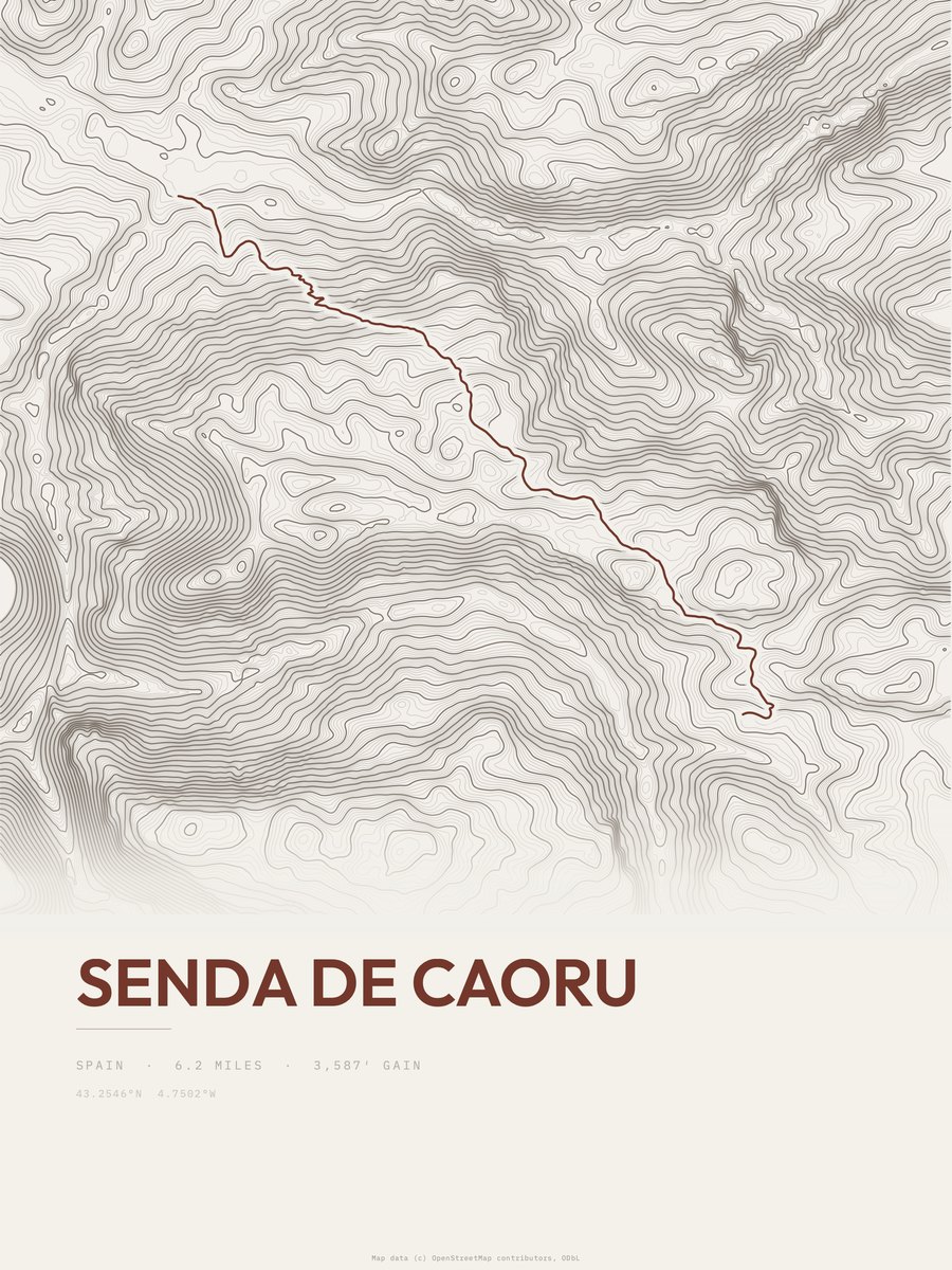
| 9 | Senda de Caoru | 6.2 | 3,587 | 579 | 37% | 468 to 4,061 | 210.9 | |
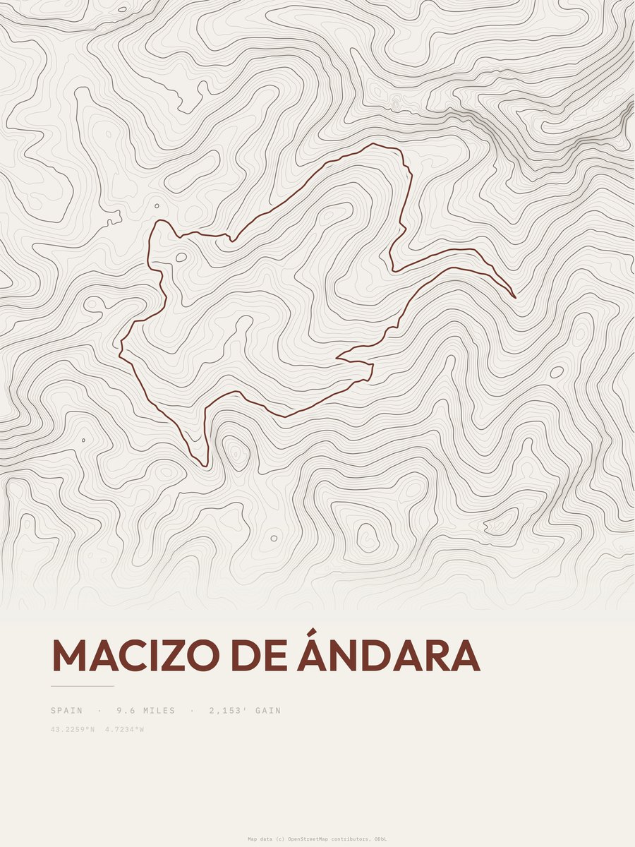
| 10 | Macizo de Ándara | 9.6 | 2,153 | 224 | 32% | 3,570 to 5,636 | 203.3 | |
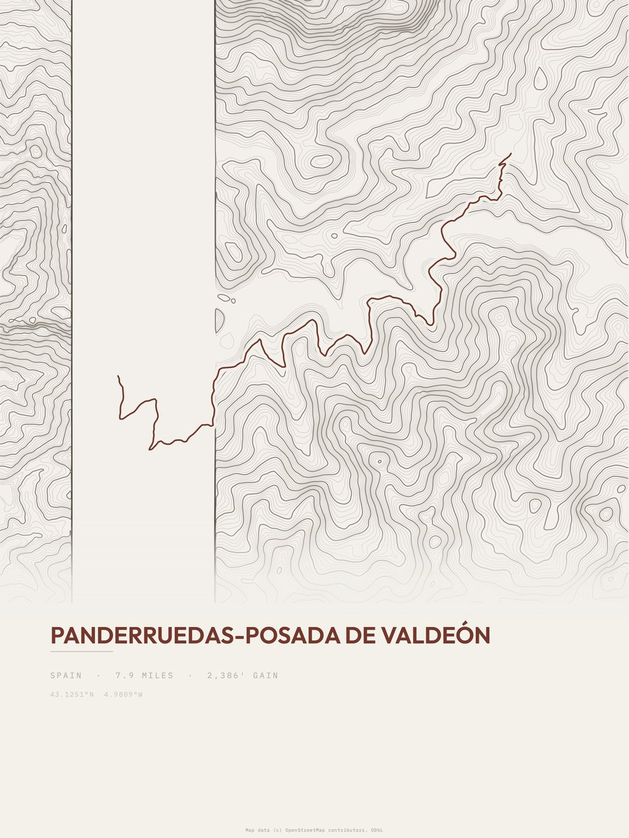
| 11 | Panderruedas-Posada de Valdeón | 7.9 | 2,386 | 302 | 28% | 3,009 to 4,786 | 194.2 | |
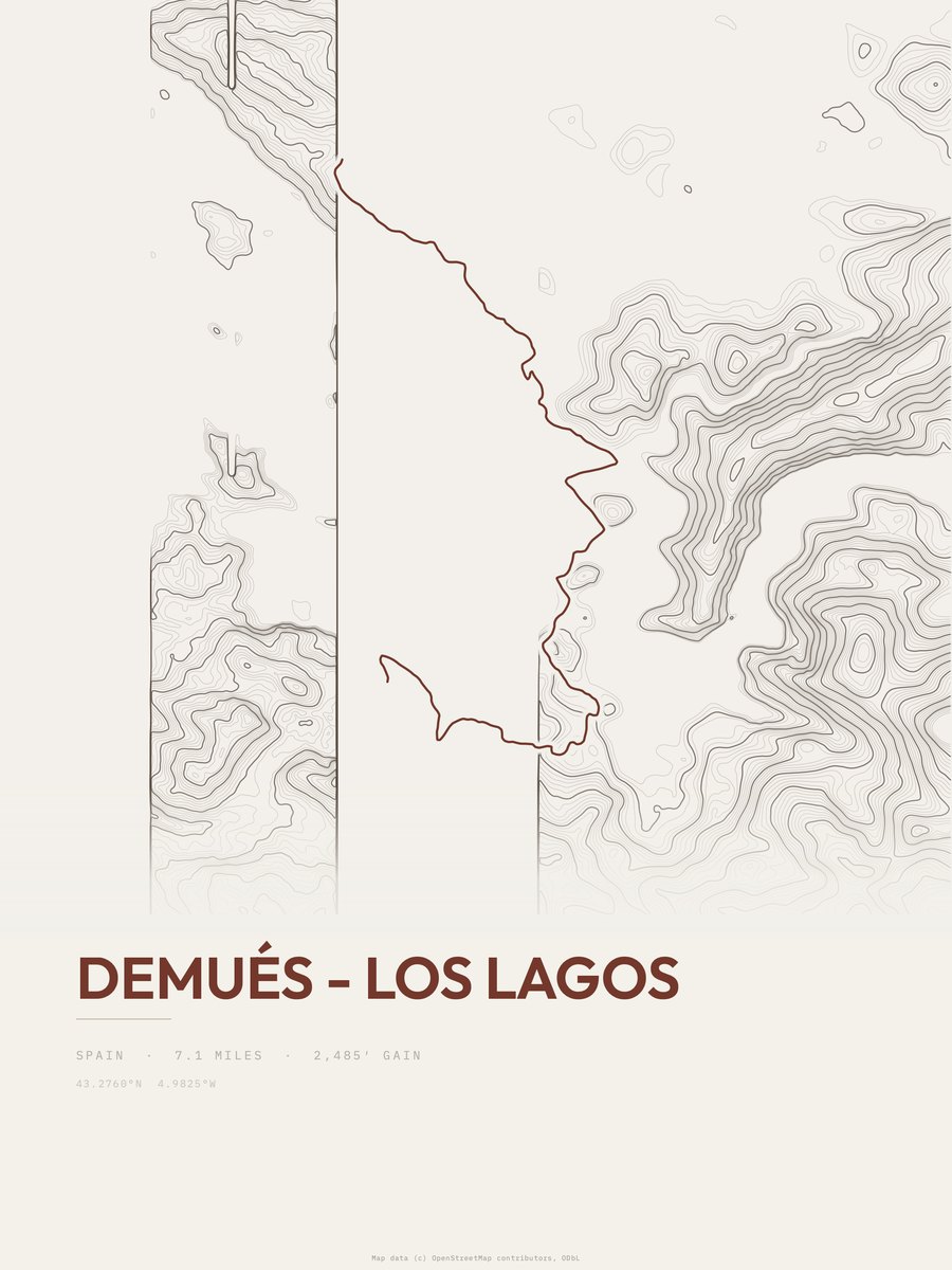
| 12 | Demués - Los Lagos | 7.1 | 2,485 | 350 | 40% | 1,427 to 3,773 | 187.8 | |
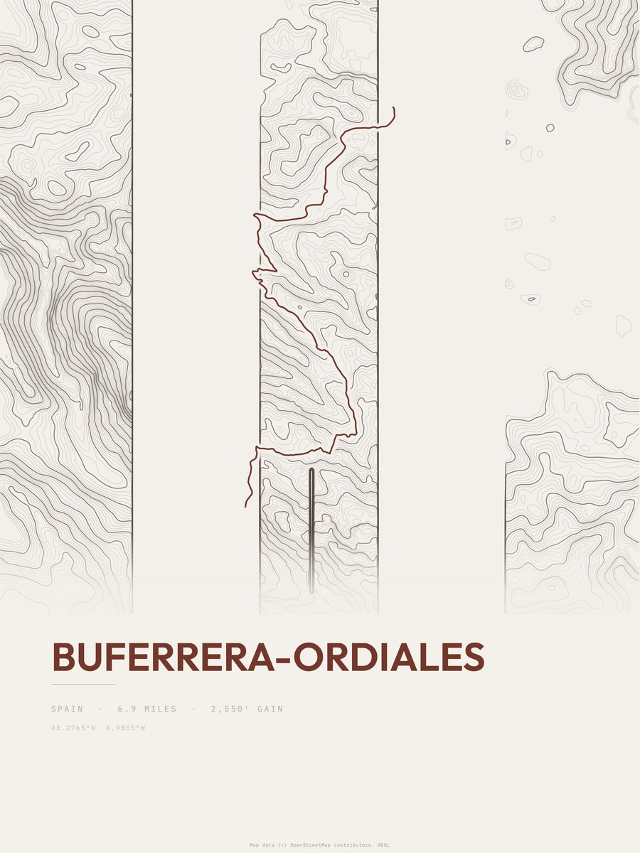
| 13 | Buferrera-Ordiales | 6.9 | 2,550 | 370 | 36% | 3,399 to 5,688 | 187.6 | |
| 14 | Monte Camba | 8.2 | 2,020 | 246 | 41% | 2,222 to 4,045 | 182 | |
| 15 | Ruta del CaresCantabria Llanes | 6.5 | 2,448 | 377 | 59% | 957 to 1,656 | 178.4 | |
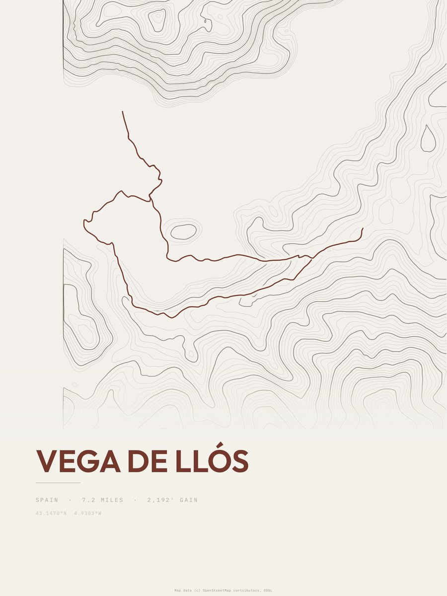
| 16 | Vega de Llós | 7.2 | 2,192 | 304 | 38% | 3,026 to 5,181 | 177.7 | |
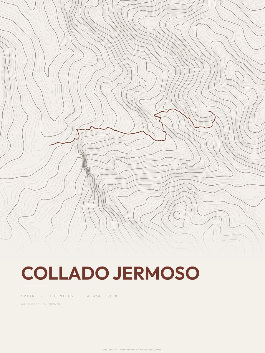
| 17 | Collado Jermoso | 3 | 4,464 | 1,488 | 72% | 2,824 to 6,812 | 163.7 | |
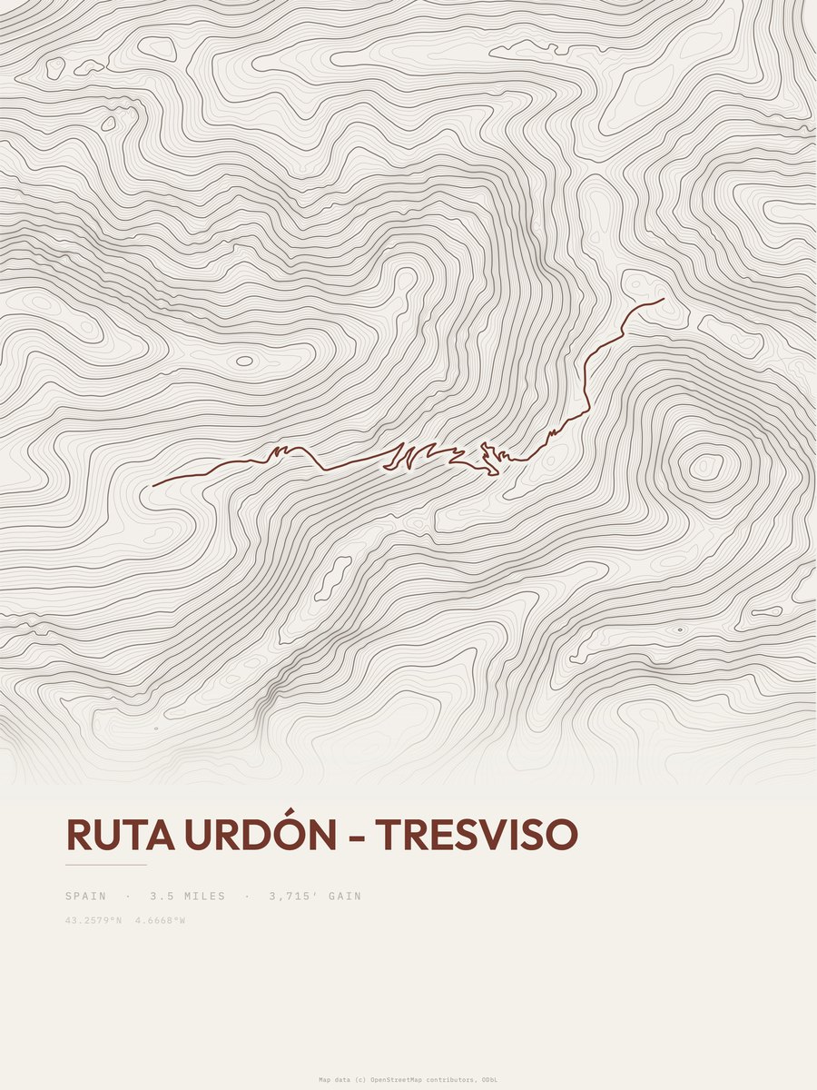
| 18 | Urdón to Tresviso | 3.5 | 3,715 | 1,061 | 68% | 222 to 2,940 | 161.3 |


How this list is ranked
Rating = the square root of 2 x elevation gain (ft) x distance (miles), the gain-and-distance formula Shenandoah National Park publishes for its own trails. Bands: under 50 easiest, 50 to 100 moderate, 100 to 150 moderately strenuous, 150 to 200 strenuous, 200 and over very strenuous.
This list: band strenuous (150 to 200) or very strenuous (200 and over), 3 to 30 miles, at least 1,500 ft of gain, ordered by rating desc, gain per mile desc, capped at 25. The rating column is computed from the miles and gain printed in the same row, the numbers each trail page uses, so every row can be checked from the row itself. The rating says nothing about exposure, scrambling, altitude or conditions.
Only trails with a full page count, so "Picos de Europa National Park" here means the 33 trails in Picos de Europa National Park in our dataset, not every trail in Picos de Europa National Park.
Each trail page shows the full elevation profile behind these numbers and the same data drawn as a topographic print, made to order. Start with Peña Oviedo.
Hardest hikes elsewhere.
The same ranking for other parks in our dataset.