Cuyahoga Valley posters & trail prints.
Cuyahoga Valley National Park has a way of following people home. Our collection holds 40 trails from the park, Ohio & Erie Canal Towpath Trail and Brandywine Falls Loop among them, each drawn from its real elevation data and printed to order, with free US shipping. Buckeye Trail is the longest at 39 miles and the biggest climb, 2,511 ft of gain. Every print from $39, free US shipping.

Cuyahoga Valley National Park is a national park of the United States in Ohio that reclaims and preserves the industrial, commercial, and rural landscape along the Cuyahoga River between Akron and Cleveland in Northeast Ohio. The 32,783-acre (51.2 sq mi; 132.7 km2) park is administered by the National Park Service, but within its boundaries are areas independently managed as county parks or as public or private businesses.
From Wikipedia: Cuyahoga Valley National Park, CC BY-SA 4.0.




- Valley Trail11.9 mi
- Pine Grove Trail1.4 mi
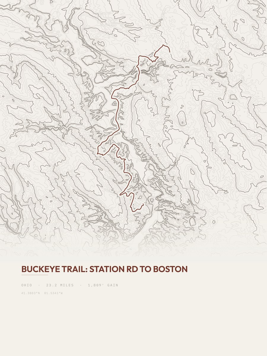
- Buckeye Trail39 mi
- Bedford Reservation5.5 mi
- Valley Bridle Trail6.3 mi
- Brandywine Gorge0.9 mi
- Old Carriage Trail3.1 mi
- Bike & Hike Trail33.2 mi
- Dickerson Run Trail1.2 mi
- East Rim Trail2.3 mi
- Quarry Trail0.7 mi
- Spring Hollow Trail1.8 mi
- Hemlock-Chippewa1.4 mi
- Haskell Run Trail0.6 mi
- Tabletop Trail0.7 mi
- Furnace Run Connector0.4 mi