The easiest hikes in France, by the numbers
Of the 435 trails in France in our dataset, 17 (4 percent) rate easiest on the gain-and-distance scale we use, run 1 to 6 miles and climb 500 ft or less; all 17 are listed here, lowest rating first.
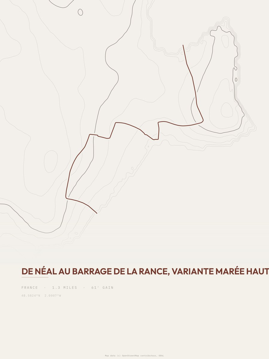
De Néal au barrage de la Rance has the lowest rating: 61 ft of gain over 1.3 miles, 47 ft per mile.
Across the 17, gain runs from 58 to 499 ft and distance from 1.2 miles to 4.8 miles; the median gain is 270 ft and the median distance 1.9 miles.
9 of the 17 are point-to-point routes; the rest are loop (7) or out-and-back (1).
| # | Trail | Miles | Gain (ft) | Ft per mile | Max grade | Elevation (ft) | Rating | Profile |
|---|---|---|---|---|---|---|---|---|
| 1 | De Néal au barrage de la Rance | 1.3 | 61 | 47 | 12% | 3 to 110 | 12.6 | |
| 2 | Langon - Marsac-sur-Don | 2.5 | 61 | 24 | 11% | 1 to 75 | 17.5 | |
| 3 | Le Tour du Lac de Malpas | 3 | 58 | 19 | 9% | 2,994 to 3,094 | 18.7 | |
| 4 | Circuit du Gazon du Faing | 1.4 | 223 | 159 | 14% | 4,023 to 4,272 | 25 | |
| 5 | Arboretum de l'Hort de DieuCévennes NP | 1.3 | 321 | 247 | 23% | 4,240 to 4,552 | 28.9 | |
| 6 | Crête des Gittes | 1.2 | 384 | 320 | 23% | 7,831 to 8,236 | 30.4 | |
| 7 | Chemin du Lac BersauPyrénées NP | 1.3 | 371 | 285 | 24% | 6,464 to 6,868 | 31.1 | |
| 8 | Casteddu d'Araghju | 1.2 | 457 | 381 | 37% | 328 to 789 | 33.1 | |
| 9 | Chemin de Crête | 1.3 | 466 | 358 | 34% | 662 to 924 | 34.8 | |
| 10 | Circuit du Pont du Bonhomme | 4.8 | 128 | 27 | 5% | 31 to 143 | 35.1 | |
| 11 | Sentier du Trou de FerRéunion NP | 1.3 | 473 | 364 | 34% | 4,409 to 4,882 | 35.1 | |
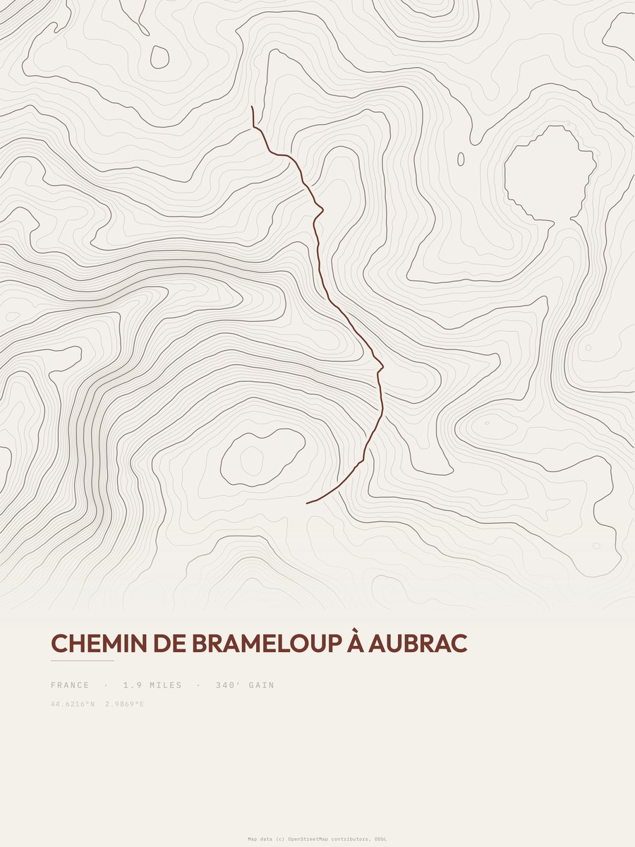
| 12 | Chemin de Brameloup à Aubrac | 1.9 | 340 | 179 | 17% | 3,950 to 4,309 | 35.9 | |
| 13 | Tour du Lac de Bouzey | 4.3 | 159 | 37 | 11% | 1,198 to 1,357 | 37 | |
| 14 | Accès GR 59 | 2.8 | 248 | 89 | 11% | 848 to 1,126 | 37.3 | |
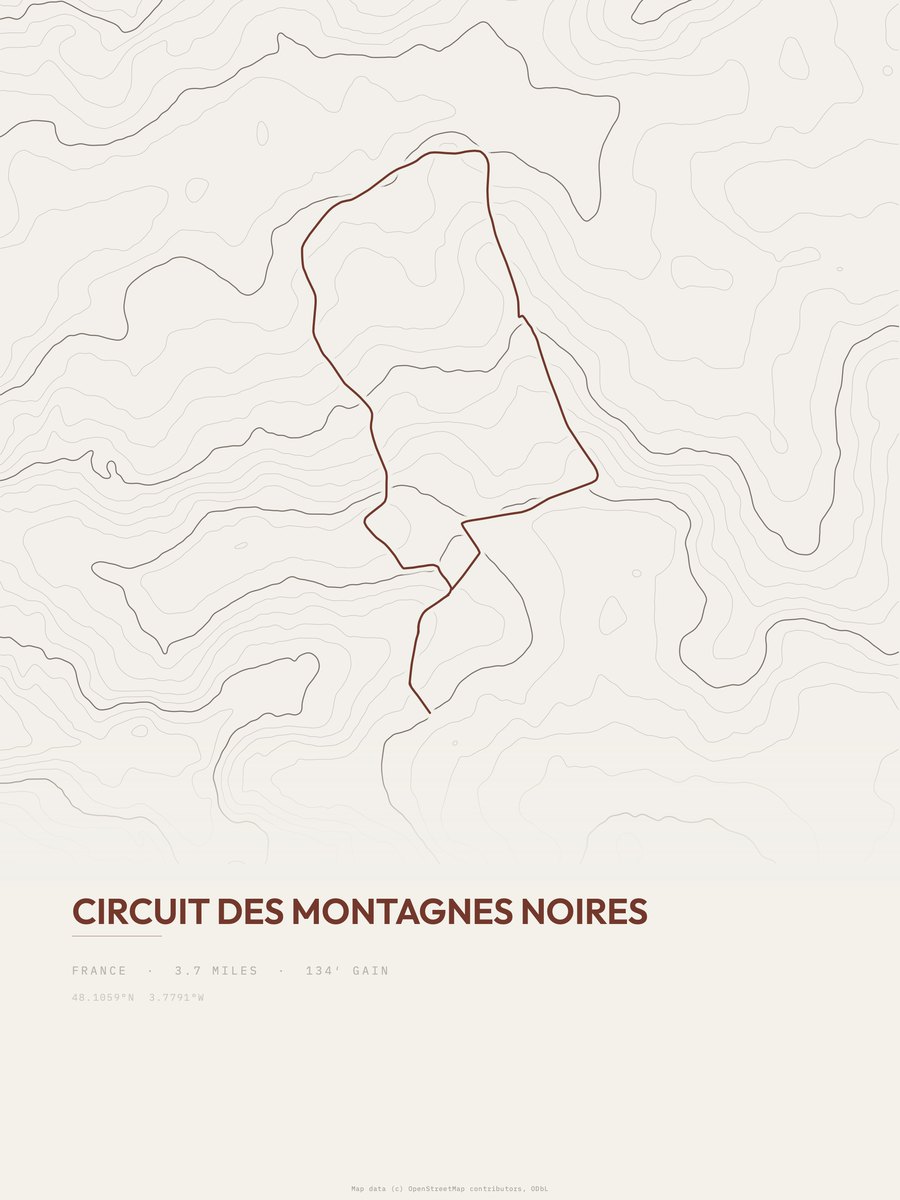
| 15 | Circuit des Montagnes Noires | 3.7 | 191 | 52 | 10% | 406 to 597 | 37.6 | |
| 16 | Circuit Aspach-le-Haut | 2.7 | 270 | 100 | 9% | 1,041 to 1,311 | 38.2 | |
| 17 | Le lac des EstarisÉcrins NP | 2.2 | 499 | 227 | 39% | 8,384 to 8,861 | 46.9 |






How this list is ranked
Rating = the square root of 2 x elevation gain (ft) x distance (miles), the gain-and-distance formula Shenandoah National Park publishes for its own trails. Bands: under 50 easiest, 50 to 100 moderate, 100 to 150 moderately strenuous, 150 to 200 strenuous, 200 and over very strenuous.
This list: band easiest (under 50), 1 to 6 miles, no more than 500 ft of gain, ordered by rating asc, miles asc, capped at 25. The rating column is computed from the miles and gain printed in the same row, the numbers each trail page uses, so every row can be checked from the row itself. The rating says nothing about exposure, scrambling, altitude or conditions.
Only trails with a full page count, so "France" here means the 435 trails in France in our dataset, not every trail in France.
Each trail page shows the full elevation profile behind these numbers and the same data drawn as a topographic print, made to order. Start with De Néal au barrage de la Rance.
Easiest hikes elsewhere.
The same ranking for other countries in our dataset.