The easiest hikes in the United Kingdom, by the numbers
Of the 637 trails in the United Kingdom in our dataset, 151 (24 percent) rate easiest on the gain-and-distance scale we use, run 1 to 6 miles and climb 500 ft or less; these are the 25 with the lowest rating.
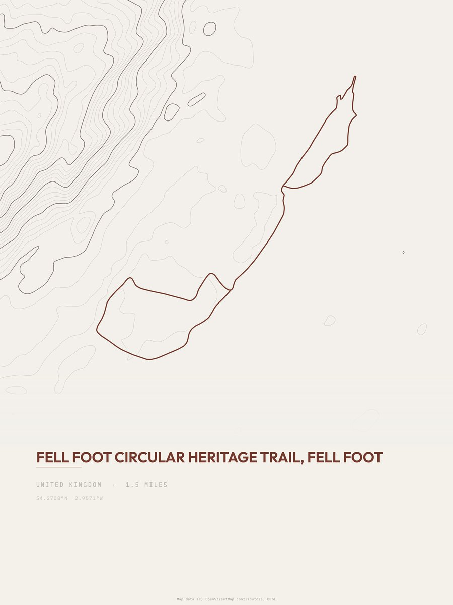
Fell Foot has the lowest rating: 0 ft of gain over 1.5 miles, essentially flat.
Across the 25, gain runs from 0 to 77 ft and distance from 1 mile to 2.6 miles; the median gain is 48 ft and the median distance 1.5 miles.
19 of the 25 are loop routes; the rest are point-to-point (6).
| # | Trail | Miles | Gain (ft) | Ft per mile | Max grade | Elevation (ft) | Rating | Profile |
|---|---|---|---|---|---|---|---|---|
| 1 | Fell FootLake District NP | 1.5 | 0 | 0 | 5% | 132 to 181 | 0 | |
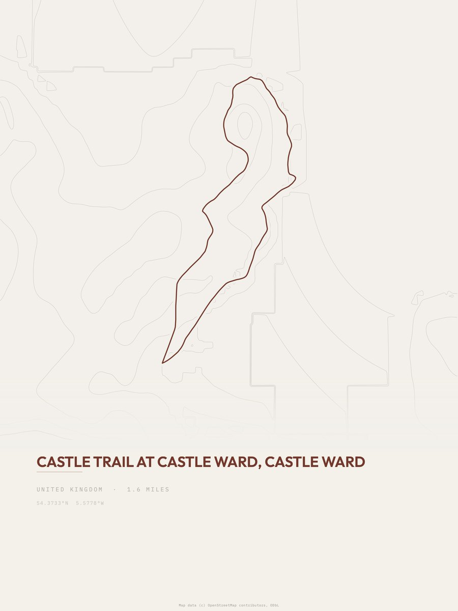
| 2 | Castle Trail | 1.6 | 0 | 0 | 5% | 10 to 59 | 0 | |
| 3 | The Crystal Canal Walk | 2 | 0 | 0 | 3% | 213 to 259 | 0 | |
| 4 | Titford Canal | 2.2 | 0 | 0 | 2% | 473 to 519 | 0 | |
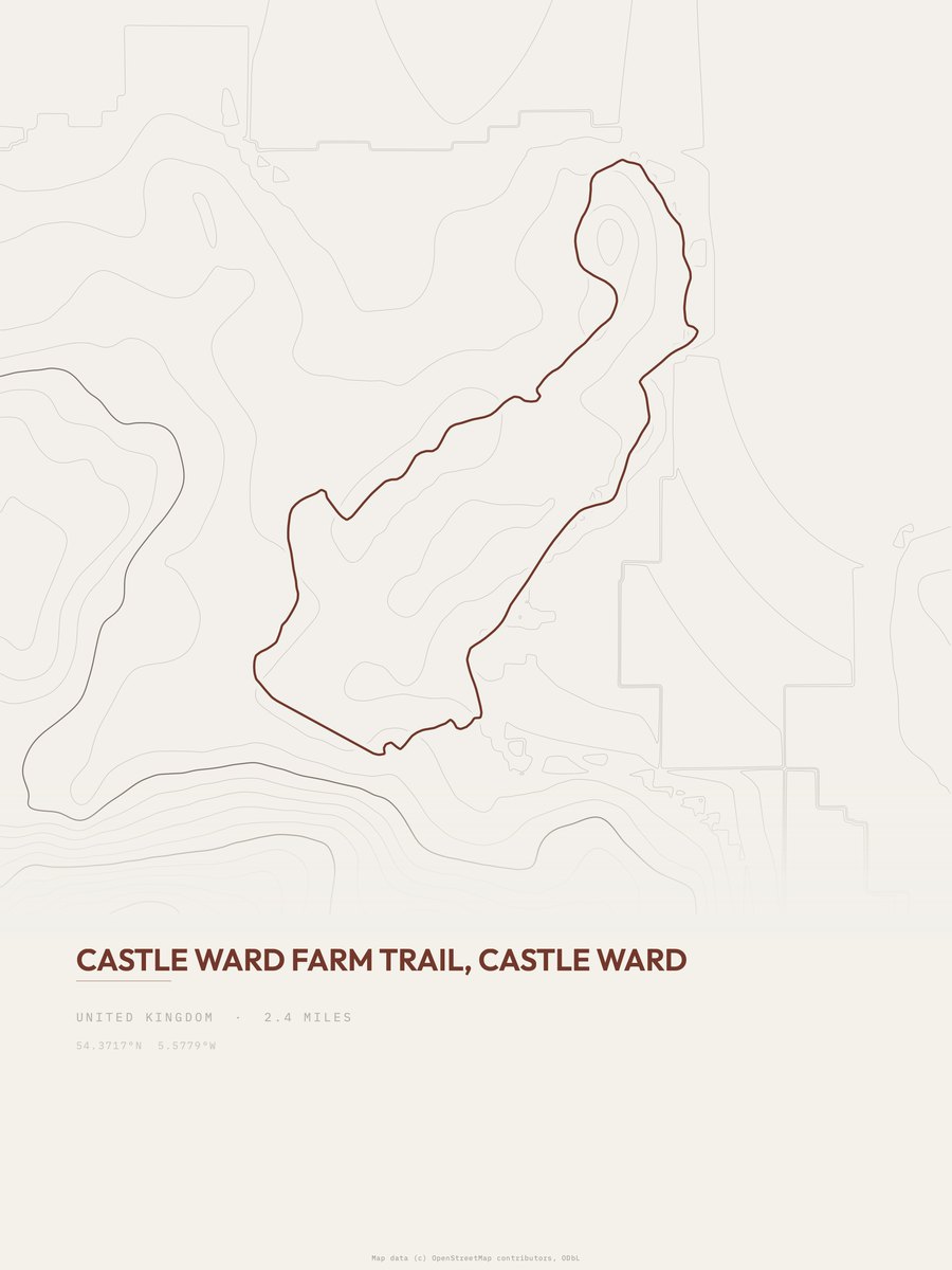
| 5 | Castle Ward Farm Trail | 2.4 | 0 | 0 | 5% | 10 to 59 | 0 | |
| 6 | Jubilee Greenway | 2.6 | 0 | 0 | 2% | 11 to 53 | 0 | |
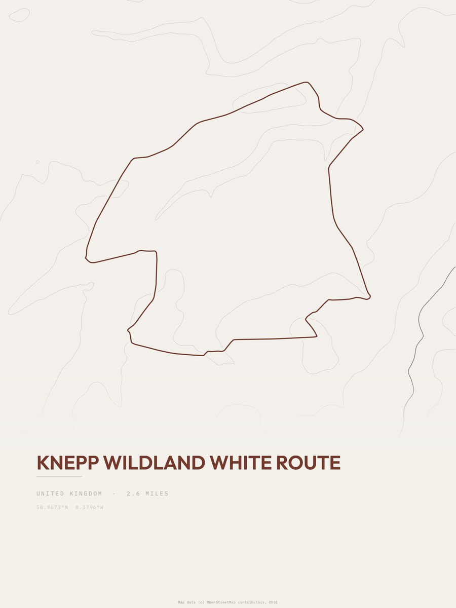
| 7 | Knepp Wildland White Route | 2.6 | 0 | 0 | 3% | 28 to 68 | 0 | |
| 8 | White Rose Way | 2.6 | 0 | 0 | 5% | 29 to 76 | 0 | |
| 9 | Nelly's Moss Lakes Walk | 1.3 | 26 | 20 | 5% | 597 to 647 | 8.2 | |
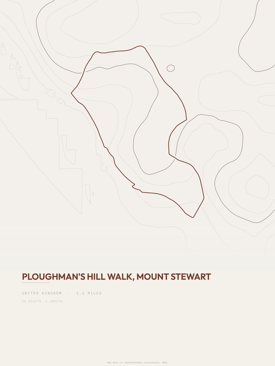
| 10 | Ploughman's Hill Walk | 1.2 | 31 | 26 | 8% | 35 to 102 | 8.6 | |
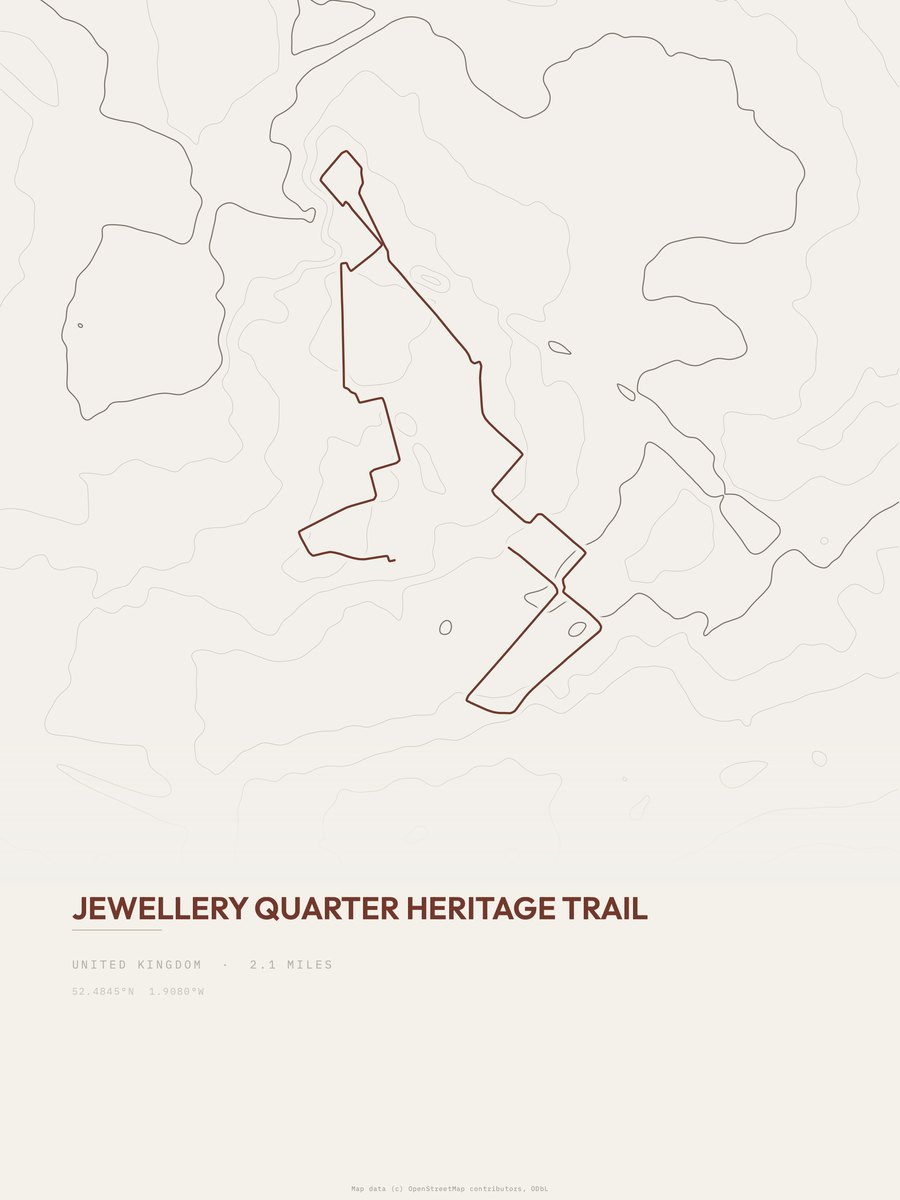
| 11 | Jewellery Quarter Heritage Trail | 2.1 | 22 | 10 | 4% | 407 to 464 | 9.6 | |
| 12 | North Down Coastal Path | 2.5 | 21 | 8 | 6% | 0 to 50 | 10.2 | |
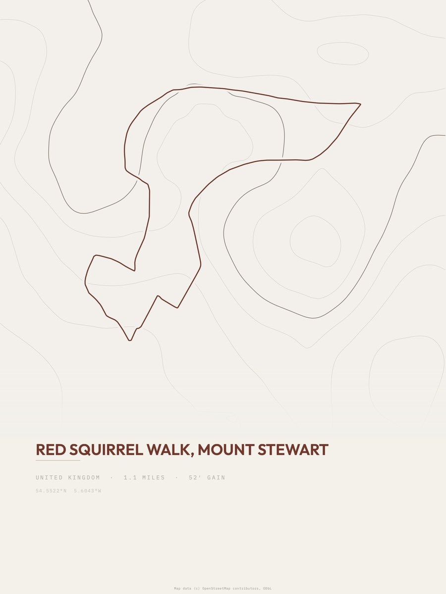
| 13 | Red Squirrel Walk | 1.1 | 52 | 47 | 4% | 30 to 105 | 10.7 | |
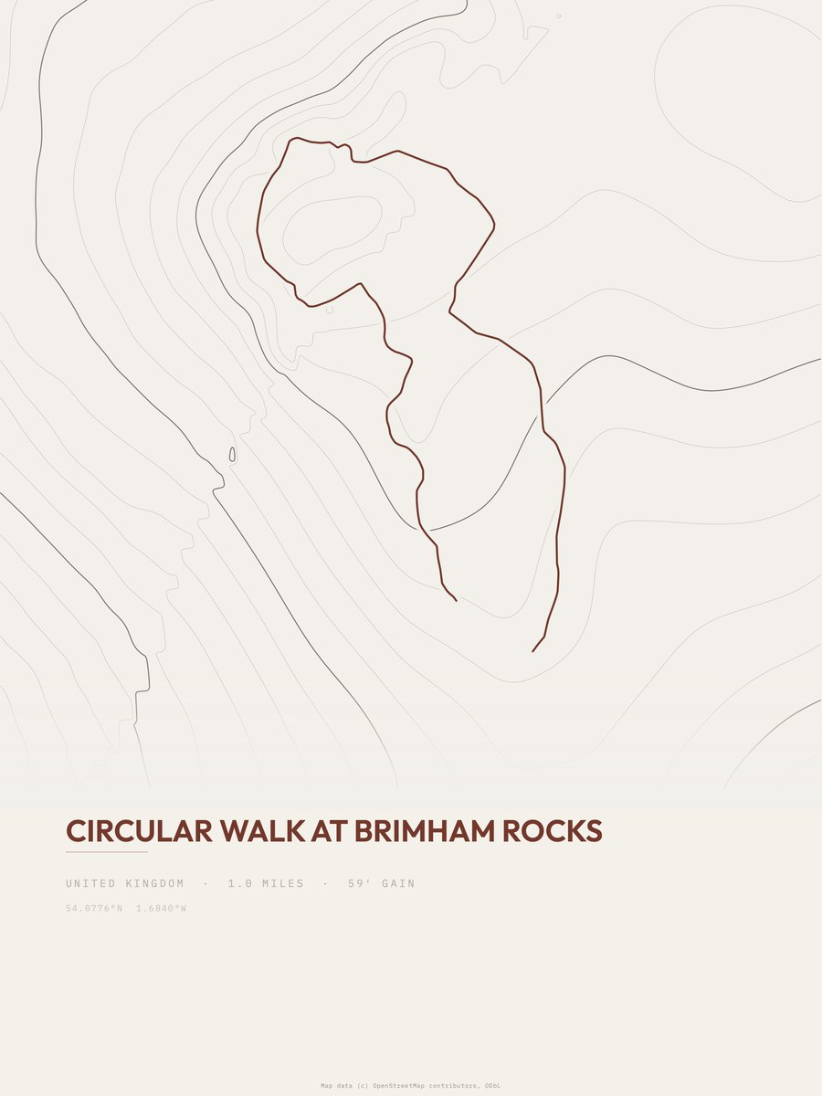
| 14 | Circular Walk at Brimham Rocks | 1 | 59 | 59 | 6% | 875 to 956 | 10.9 | |
| 15 | Abermawr Woods and Beach WalkPembrokeshire Coast NP | 1.2 | 52 | 43 | 7% | 13 to 110 | 11.2 | |
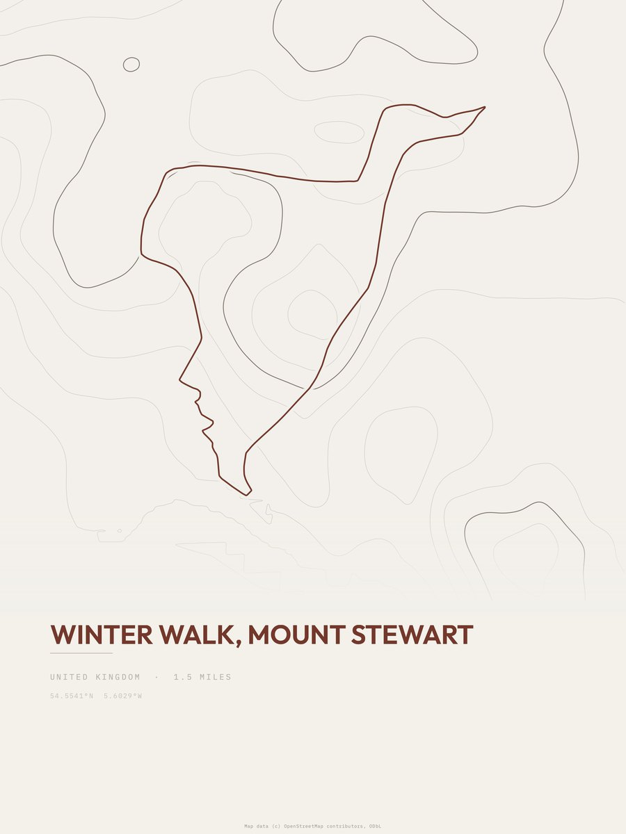
| 16 | Winter Walk | 1.5 | 48 | 32 | 9% | 36 to 113 | 12 | |
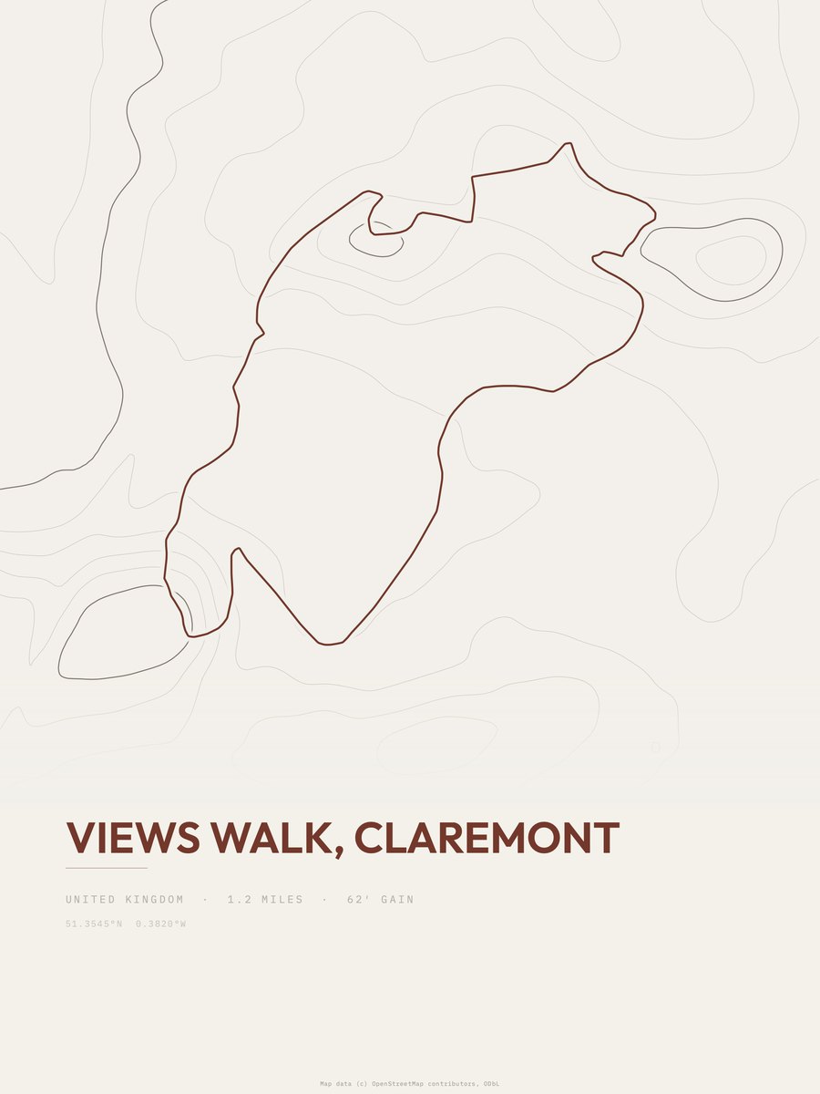
| 17 | Views Walk | 1.2 | 62 | 52 | 9% | 93 to 166 | 12.2 | |
| 18 | Doulton Trail (Saltwells LNR) | 1 | 77 | 77 | 7% | 333 to 419 | 12.4 | |
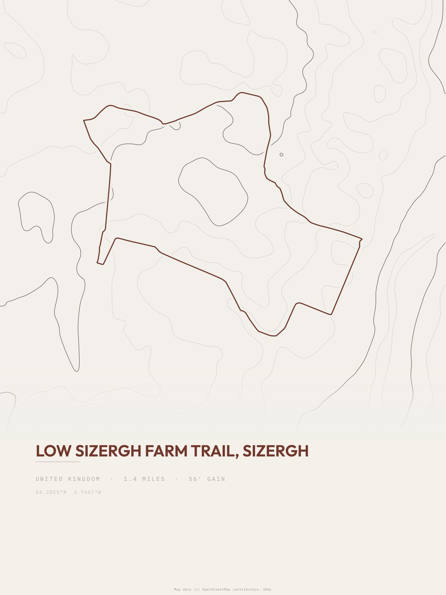
| 19 | Low Sizergh Farm TrailLake District NP | 1.4 | 56 | 40 | 7% | 97 to 190 | 12.5 | |
| 20 | Tarbet Isle WalkLoch Lomond and The Trossachs NP | 1.1 | 72 | 65 | 11% | 70 to 188 | 12.6 | |
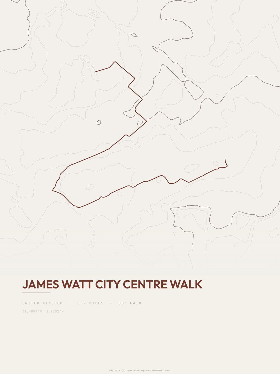
| 21 | James Watt City Centre Walk | 1.7 | 50 | 29 | 4% | 407 to 470 | 13 | |
| 22 | PetworthSouth Downs NP | 1.4 | 61 | 44 | 11% | 115 to 219 | 13.1 | |
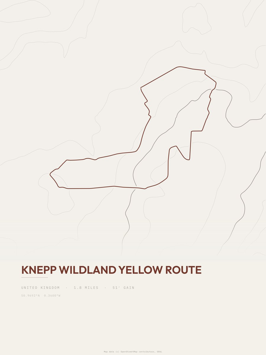
| 23 | Knepp Wildland Yellow Route | 1.8 | 51 | 28 | 4% | 52 to 103 | 13.5 | |
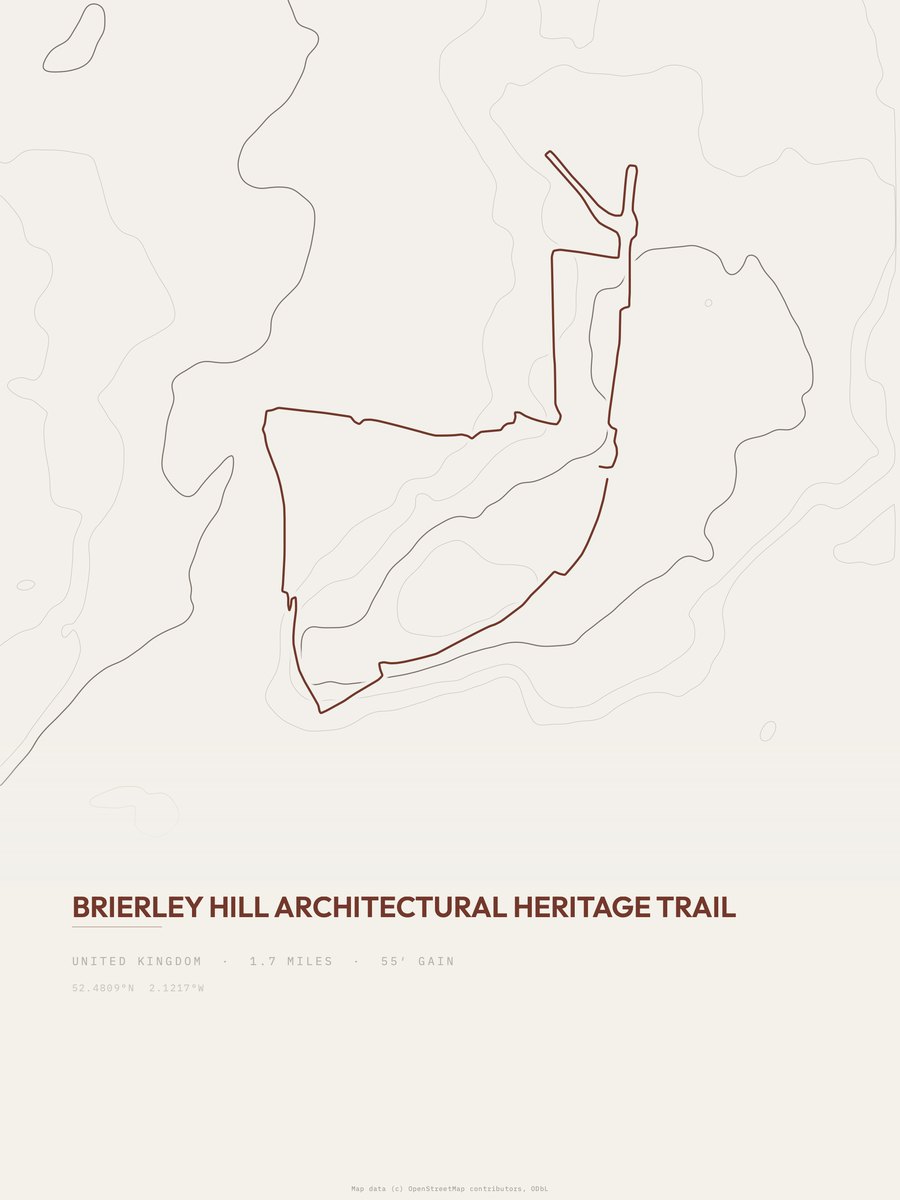
| 24 | Brierley Hill | 1.7 | 55 | 32 | 8% | 423 to 507 | 13.7 | |
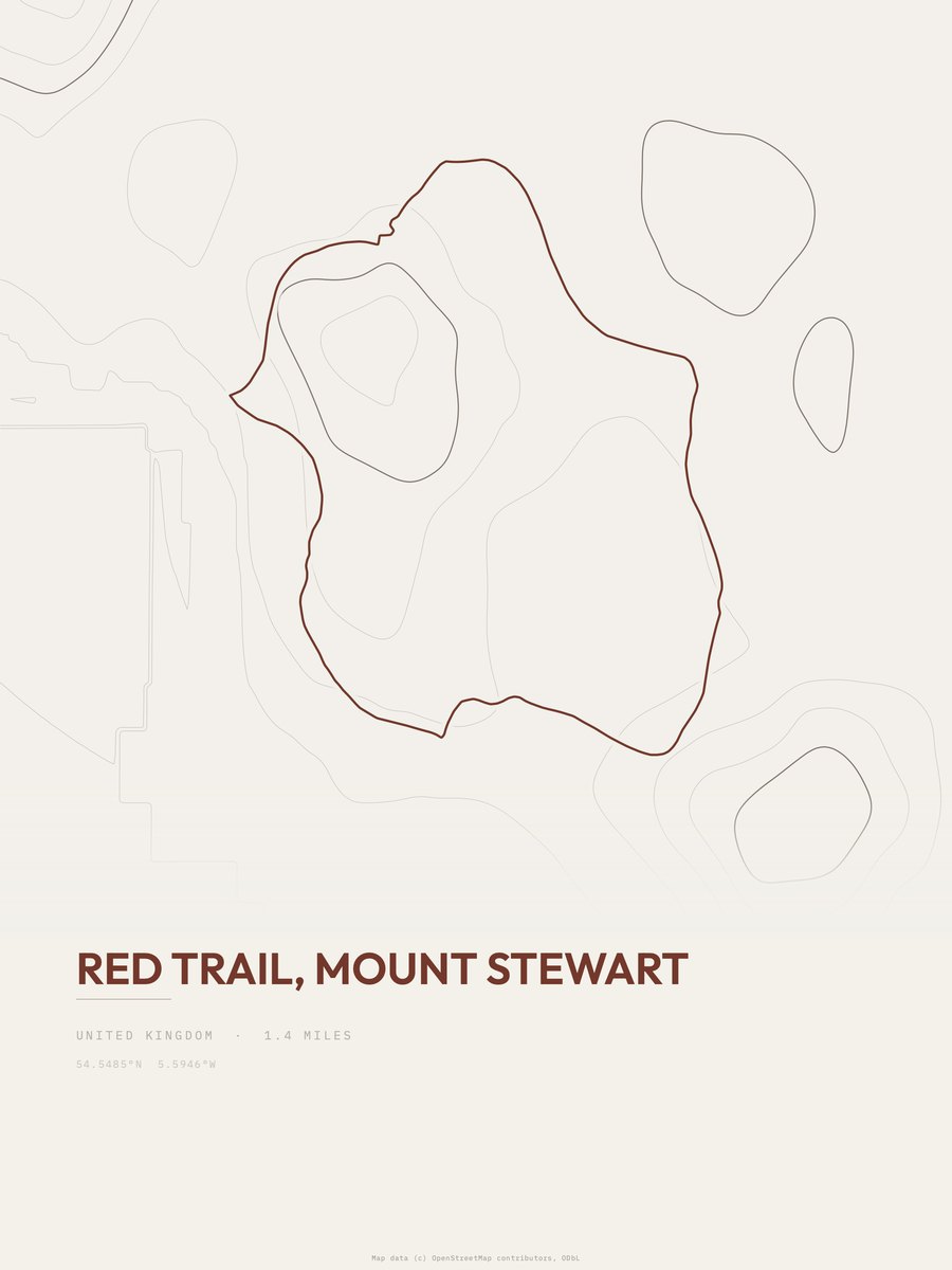
| 25 | Red Trail | 1.4 | 67 | 48 | 8% | 27 to 80 | 13.7 |










How this list is ranked
Rating = the square root of 2 x elevation gain (ft) x distance (miles), the gain-and-distance formula Shenandoah National Park publishes for its own trails. Bands: under 50 easiest, 50 to 100 moderate, 100 to 150 moderately strenuous, 150 to 200 strenuous, 200 and over very strenuous.
This list: band easiest (under 50), 1 to 6 miles, no more than 500 ft of gain, ordered by rating asc, miles asc, capped at 25. The rating column is computed from the miles and gain printed in the same row, the numbers each trail page uses, so every row can be checked from the row itself. The rating says nothing about exposure, scrambling, altitude or conditions.
Only trails with a full page count, so "the United Kingdom" here means the 637 trails in the United Kingdom in our dataset, not every trail in the United Kingdom.
Each trail page shows the full elevation profile behind these numbers and the same data drawn as a topographic print, made to order. Start with Fell Foot.
Easiest hikes elsewhere.
The same ranking for other countries in our dataset.