The easiest hikes in Canada, by the numbers
Of the 852 trails in Canada in our dataset, 63 (7 percent) rate easiest on the gain-and-distance scale we use, run 1 to 6 miles and climb 500 ft or less; these are the 25 with the lowest rating.
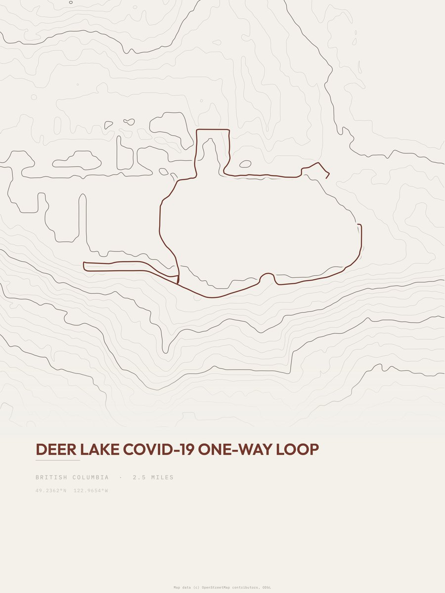
Deer Lake COVID-19 One-way Loop has the lowest rating: 0 ft of gain over 2.5 miles, essentially flat.
Across the 25, gain runs from 0 to 217 ft and distance from 1 mile to 3.5 miles; the median gain is 97 ft and the median distance 1.5 miles.
16 of the 25 are point-to-point routes; the rest are loop (8) or out-and-back (1).
| # | Trail | Miles | Gain (ft) | Ft per mile | Max grade | Elevation (ft) | Rating | Profile |
|---|---|---|---|---|---|---|---|---|
| 1 | Deer Lake COVID-19 One-way Loop | 2.5 | 0 | 0 | 6% | 73 to 120 | 0 | |
| 2 | Cameron Lake TrailWaterton Lakes NP | 1 | 26 | 26 | 8% | 5,463 to 5,515 | 7.2 | |
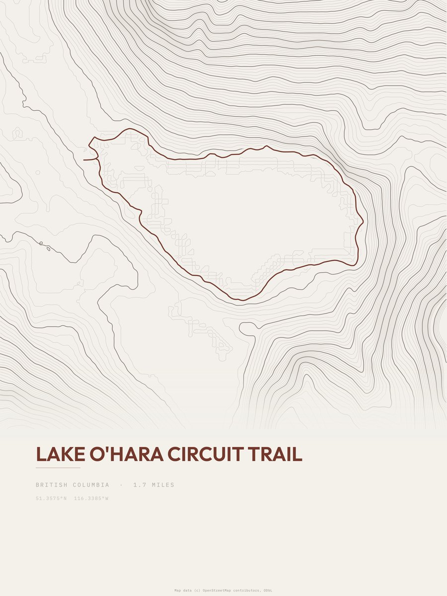
| 3 | Lake O'Hara Circuit TrailYoho NP | 1.7 | 47 | 28 | 9% | 6,621 to 6,677 | 12.6 | |
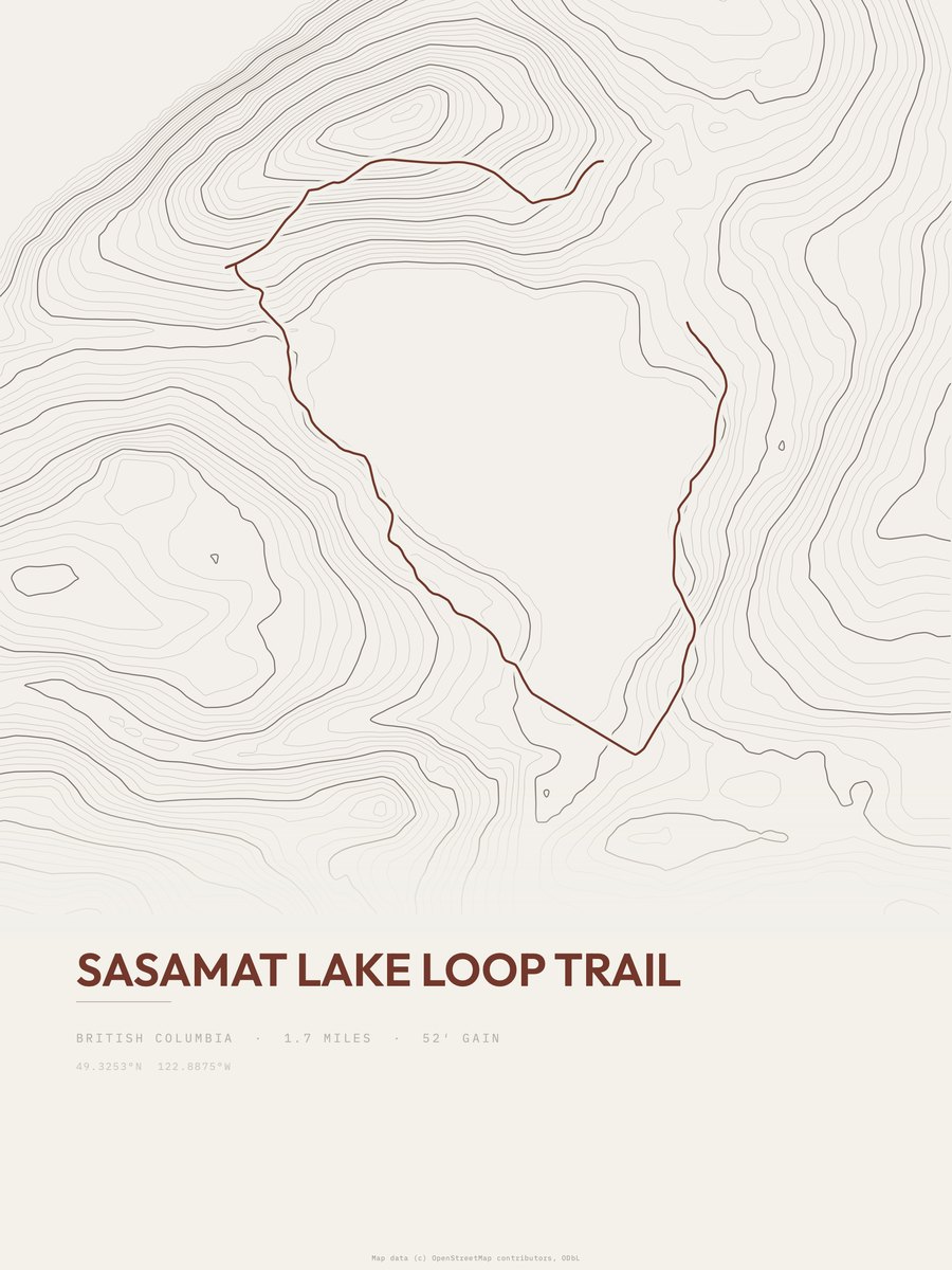
| 4 | Sasamat Lake Loop Trail | 1.7 | 52 | 31 | 5% | 141 to 202 | 13.3 | |
| 5 | Powder Mill Lake Trail | 1.3 | 75 | 58 | 9% | 72 to 180 | 14 | |
| 6 | Colpitt Lake Trail | 2 | 51 | 26 | 7% | 112 to 174 | 14.3 | |
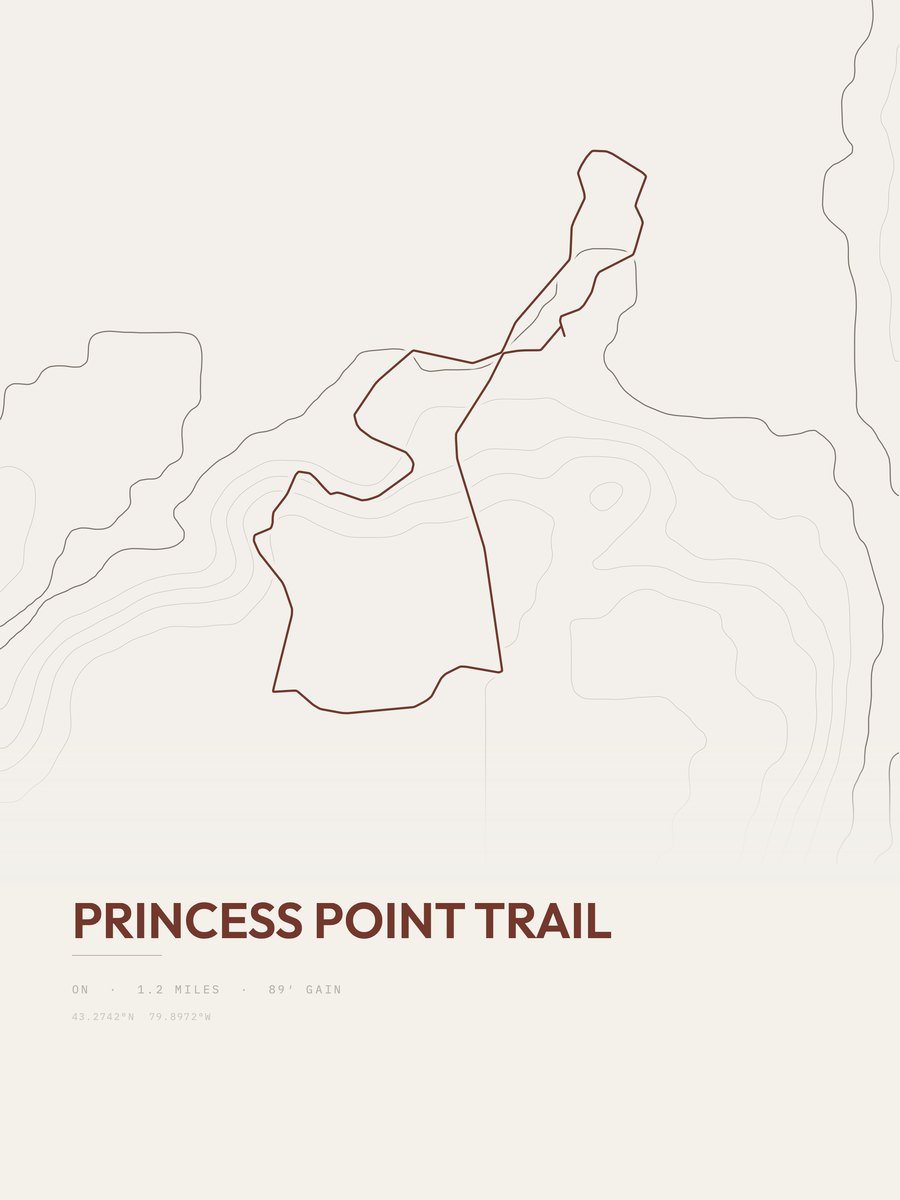
| 7 | Princess Point TrailToronto Royal Botanical Gardens | 1.2 | 89 | 74 | 14% | 259 to 333 | 14.6 | |
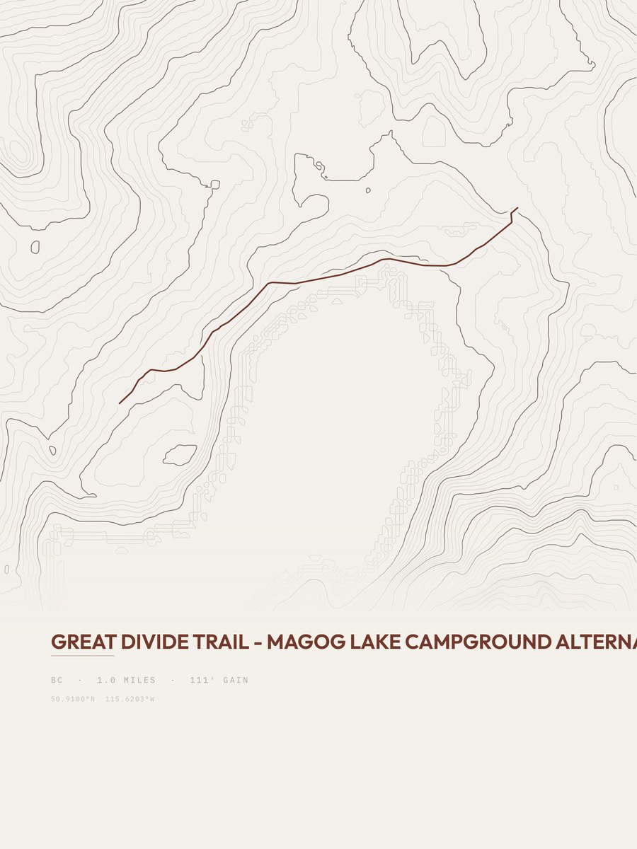
| 8 | Great Divide Trail | 1 | 111 | 111 | 14% | 7,044 to 7,155 | 14.9 | |
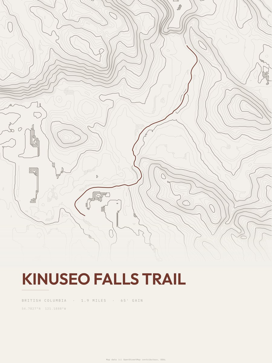
| 9 | Kinuseo Falls Trail | 1.9 | 65 | 34 | 8% | 2,835 to 2,936 | 15.7 | |
| 10 | Ash Lake Loop | 2.6 | 52 | 20 | 7% | 259 to 318 | 16.4 | |
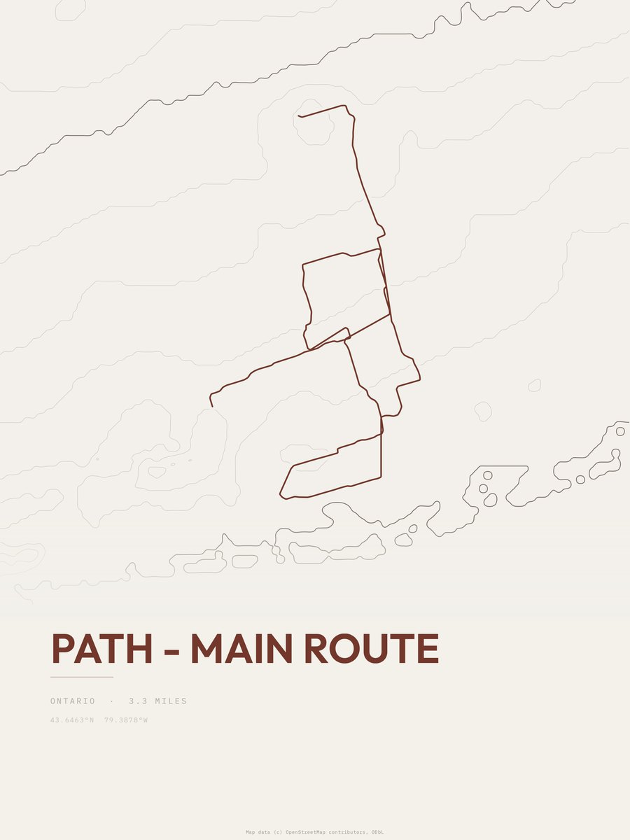
| 11 | PATH | 3.3 | 41 | 12 | 1% | 252 to 304 | 16.4 | |
| 12 | Eva Lake TrailMount Revelstoke NP | 1.1 | 132 | 120 | 14% | 6,321 to 6,412 | 17 | |
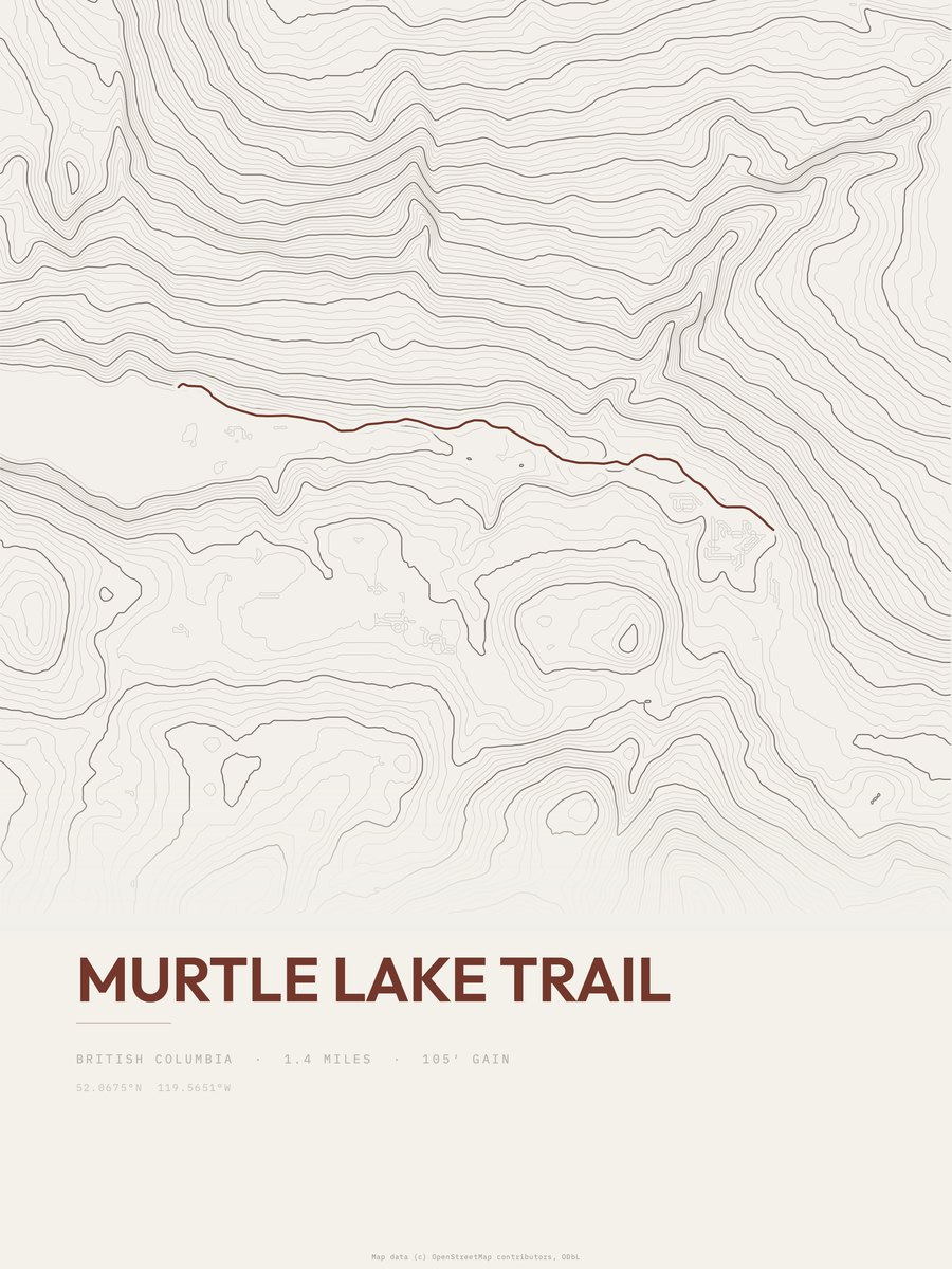
| 13 | Murtle Lake Trail | 1.4 | 105 | 75 | 9% | 3,507 to 3,629 | 17.1 | |
| 14 | Fox Lake Trail | 1.1 | 138 | 125 | 13% | 226 to 374 | 17.4 | |
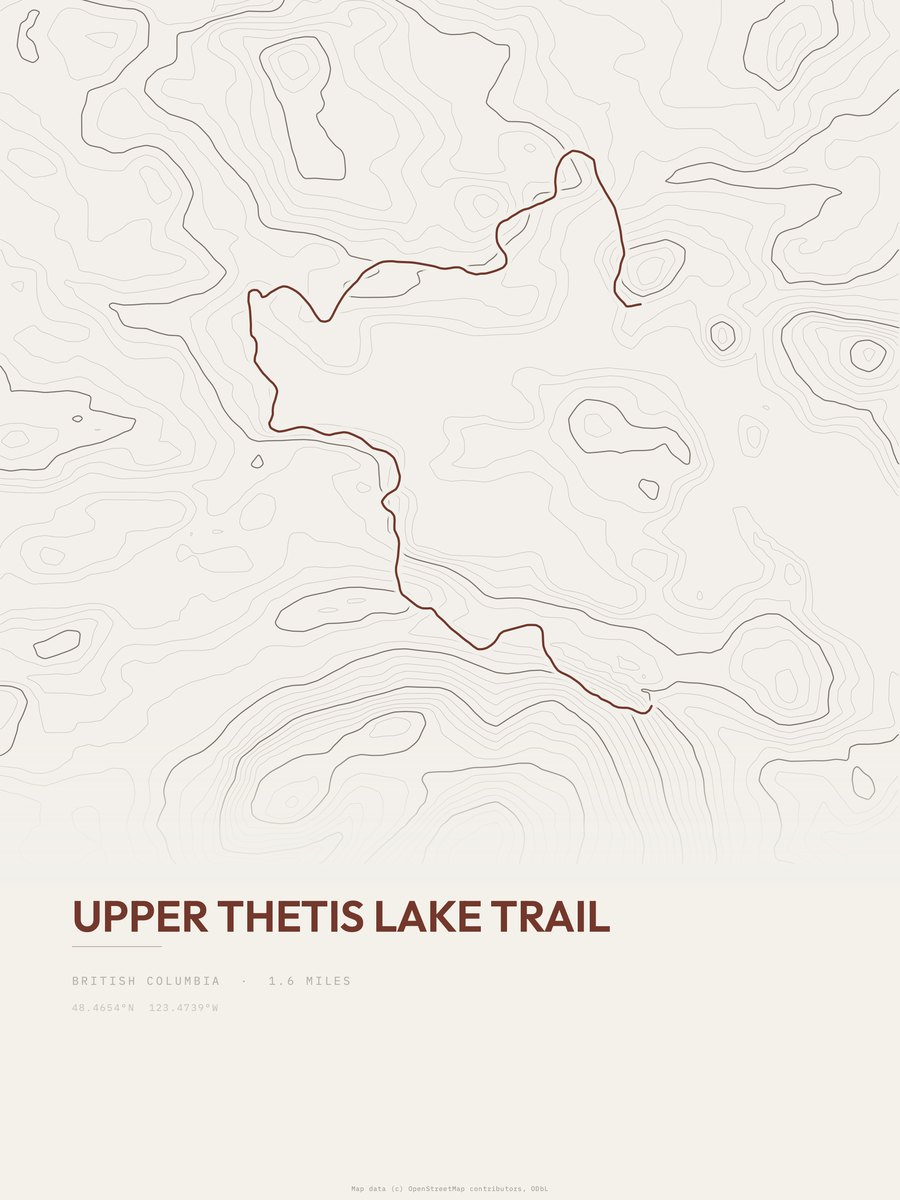
| 15 | Upper Thetis Lake Trail | 1.6 | 97 | 61 | 8% | 184 to 244 | 17.6 | |
| 16 | Idaho & Montana SectionWaterton Lakes NP | 3.5 | 53 | 15 | 8% | 4,205 to 4,300 | 19.3 | |
| 17 | Waterton Lake TrailWaterton Lakes NP | 3.5 | 53 | 15 | 8% | 4,205 to 4,300 | 19.3 | |
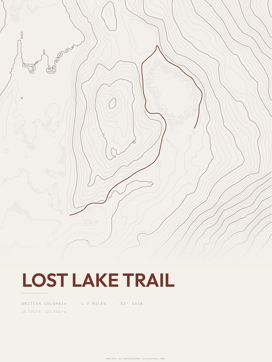
| 18 | Lost Lake Trail | 1.7 | 111 | 65 | 5% | 2,182 to 2,293 | 19.4 | |
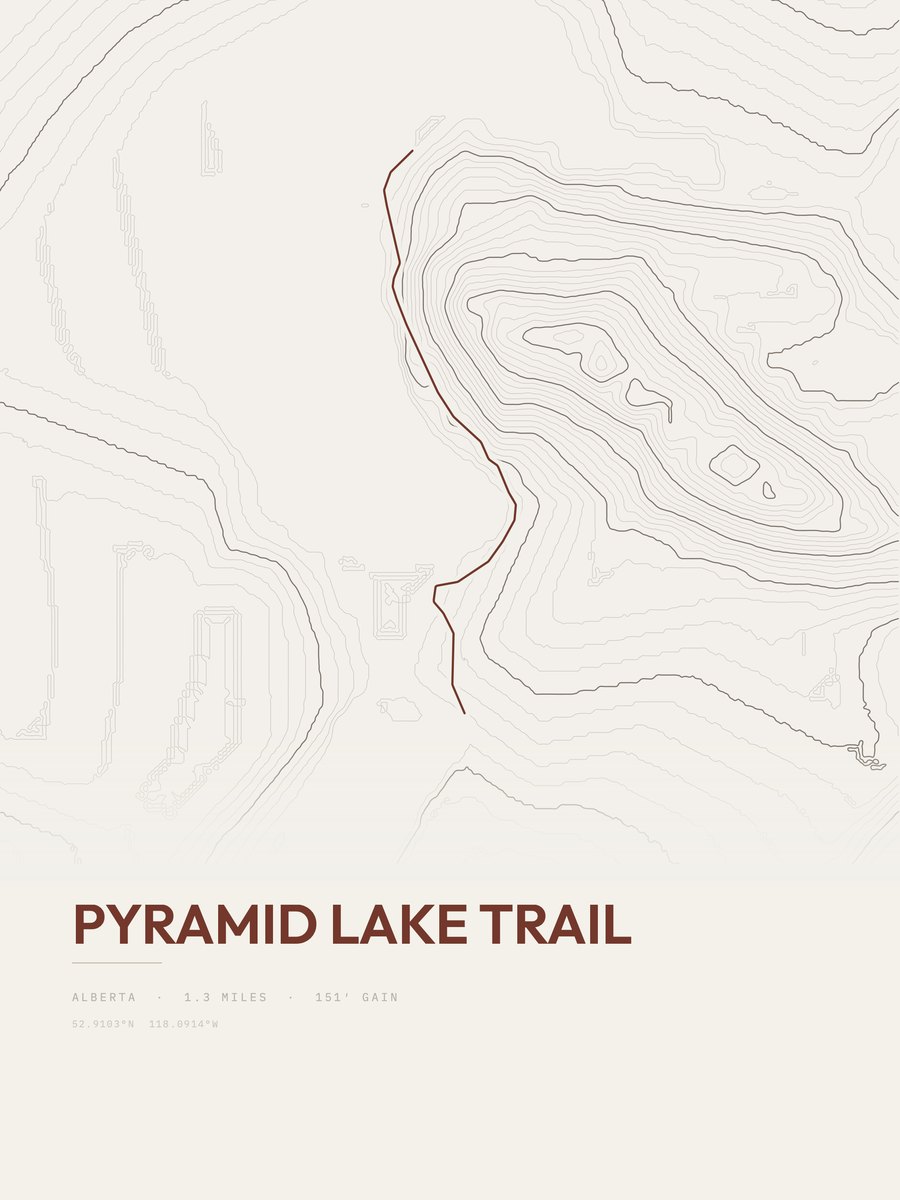
| 19 | Pyramid Lake TrailJasper NP | 1.3 | 151 | 116 | 9% | 3,881 to 4,027 | 19.8 | |
| 20 | Elk Pass Trail | 1 | 217 | 217 | 10% | 6,171 to 6,388 | 20.8 | |
| 21 | Blakiston FallsWaterton Lakes NP | 1.5 | 152 | 101 | 9% | 4,869 to 4,925 | 21.4 | |
| 22 | Ochre Creek TrailKootenay NP | 1.3 | 185 | 142 | 14% | 4,876 to 5,030 | 21.9 | |
| 23 | Stamp River Park Trail | 1.4 | 179 | 128 | 12% | 128 to 335 | 22.4 | |
| 24 | Hobsons Lake Loop | 2.3 | 109 | 47 | 6% | 253 to 364 | 22.4 | |
| 25 | Farwell Canyon Sand Dunes trail | 1.4 | 188 | 134 | 13% | 1,926 to 2,090 | 22.9 |










How this list is ranked
Rating = the square root of 2 x elevation gain (ft) x distance (miles), the gain-and-distance formula Shenandoah National Park publishes for its own trails. Bands: under 50 easiest, 50 to 100 moderate, 100 to 150 moderately strenuous, 150 to 200 strenuous, 200 and over very strenuous.
This list: band easiest (under 50), 1 to 6 miles, no more than 500 ft of gain, ordered by rating asc, miles asc, capped at 25. The rating column is computed from the miles and gain printed in the same row, the numbers each trail page uses, so every row can be checked from the row itself. The rating says nothing about exposure, scrambling, altitude or conditions.
Only trails with a full page count, so "Canada" here means the 852 trails in Canada in our dataset, not every trail in Canada.
Each trail page shows the full elevation profile behind these numbers and the same data drawn as a topographic print, made to order. Start with Deer Lake COVID-19 One-way Loop.
Easiest hikes elsewhere.
The same ranking for other countries in our dataset.