The easiest hikes in Hong Kong, by the numbers
Of the 56 trails in Hong Kong in our dataset, 13 (23 percent) rate easiest on the gain-and-distance scale we use, run 1 to 6 miles and climb 500 ft or less; all 13 are listed here, lowest rating first.
Ngong Ping Fun Trail has the lowest rating: 50 ft of gain over 1 mile, 50 ft per mile.
Across the 13, gain runs from 50 to 453 ft and distance from 1 mile to 2 miles; the median gain is 241 ft and the median distance 1.3 miles.
9 of the 13 are point-to-point routes; the rest are loop (4).
| # | Trail | Miles | Gain (ft) | Ft per mile | Max grade | Elevation (ft) | Rating | Profile |
|---|---|---|---|---|---|---|---|---|
| 1 | Ngong Ping Fun Trail | 1 | 50 | 50 | 5% | 1,430 to 1,509 | 10 | |
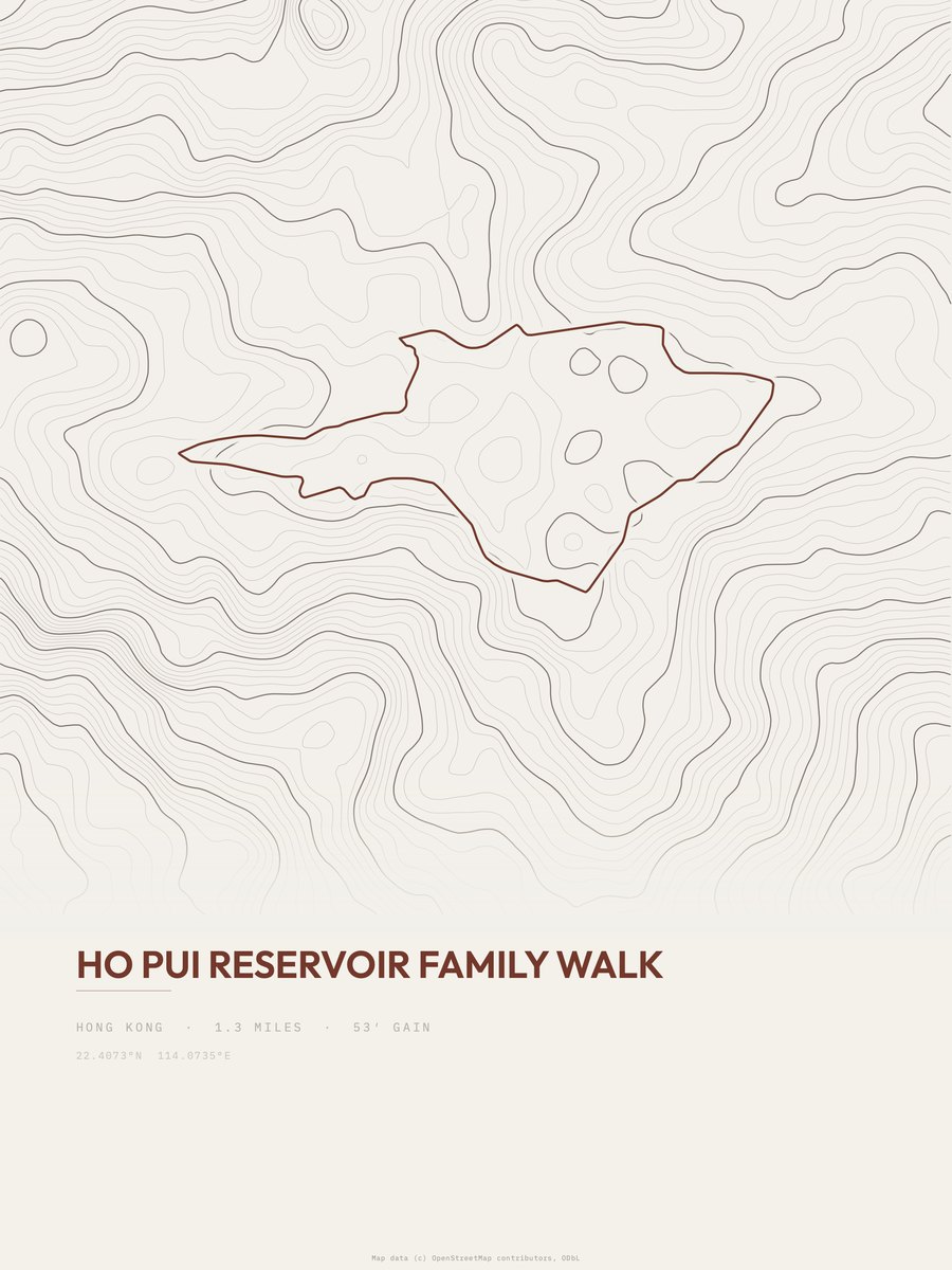
| 2 | Ho Pui Reservoir Family Walk | 1.3 | 53 | 41 | 11% | 515 to 604 | 11.7 | |
| 3 | Hok Tau Reservoir Family Walk | 1 | 162 | 162 | 9% | 341 to 492 | 18 | |
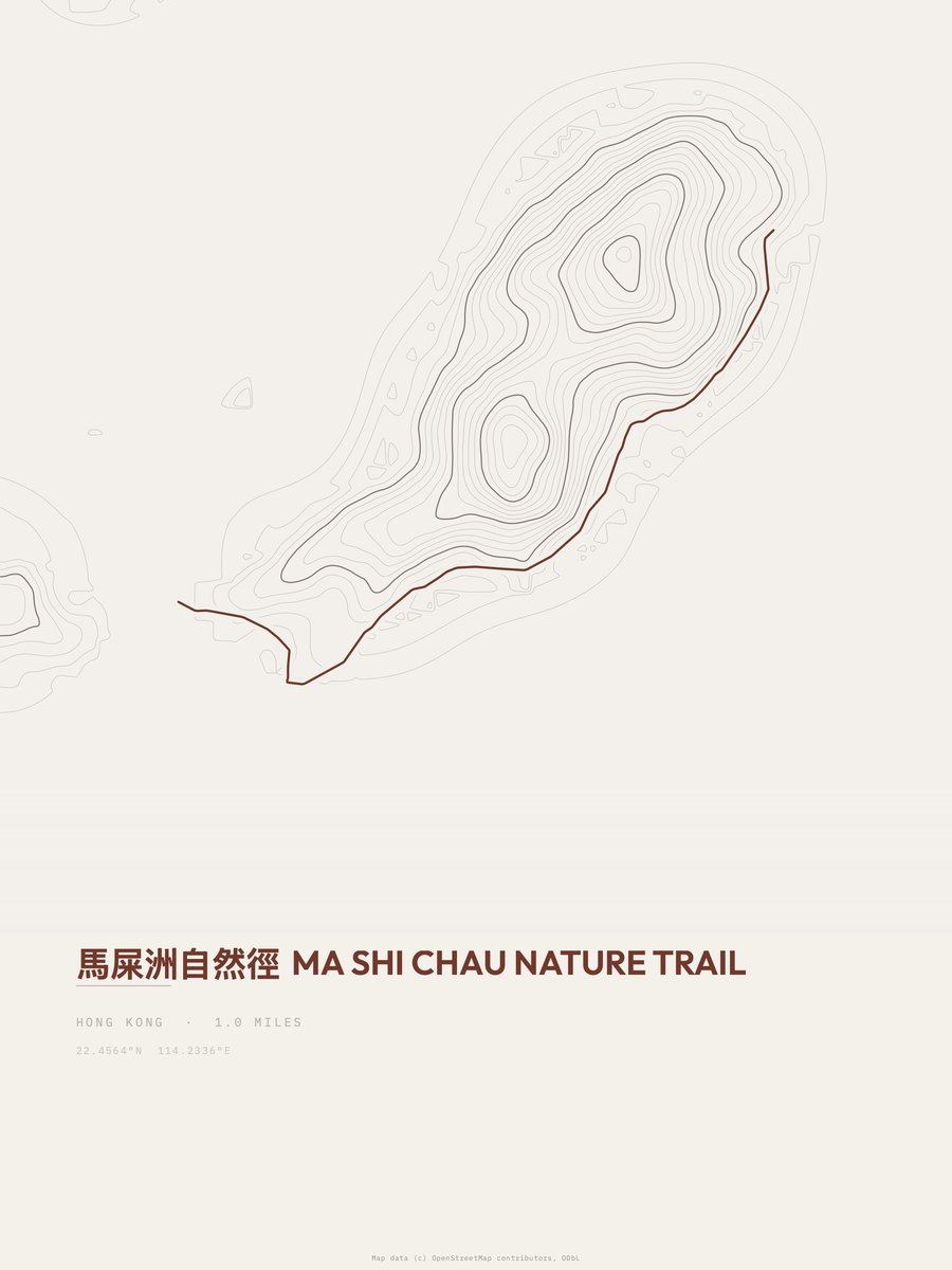
| 4 | Ma Shi Chau Nature Trail | 1 | 178 | 178 | 8% | 0 to 75 | 18.9 | |
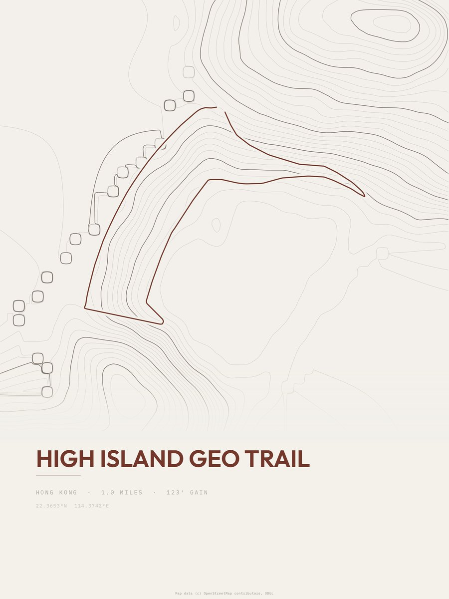
| 5 | High Island Geo Trail | 1 | 200 | 200 | 20% | 26 to 226 | 20 | |
| 6 | Hok Tau Reservoir Family Walk | 1.3 | 177 | 136 | 9% | 315 to 492 | 21.5 | |
| 7 | Pottinger Peak Country Trail | 1 | 252 | 252 | 31% | 476 to 728 | 22.4 | |
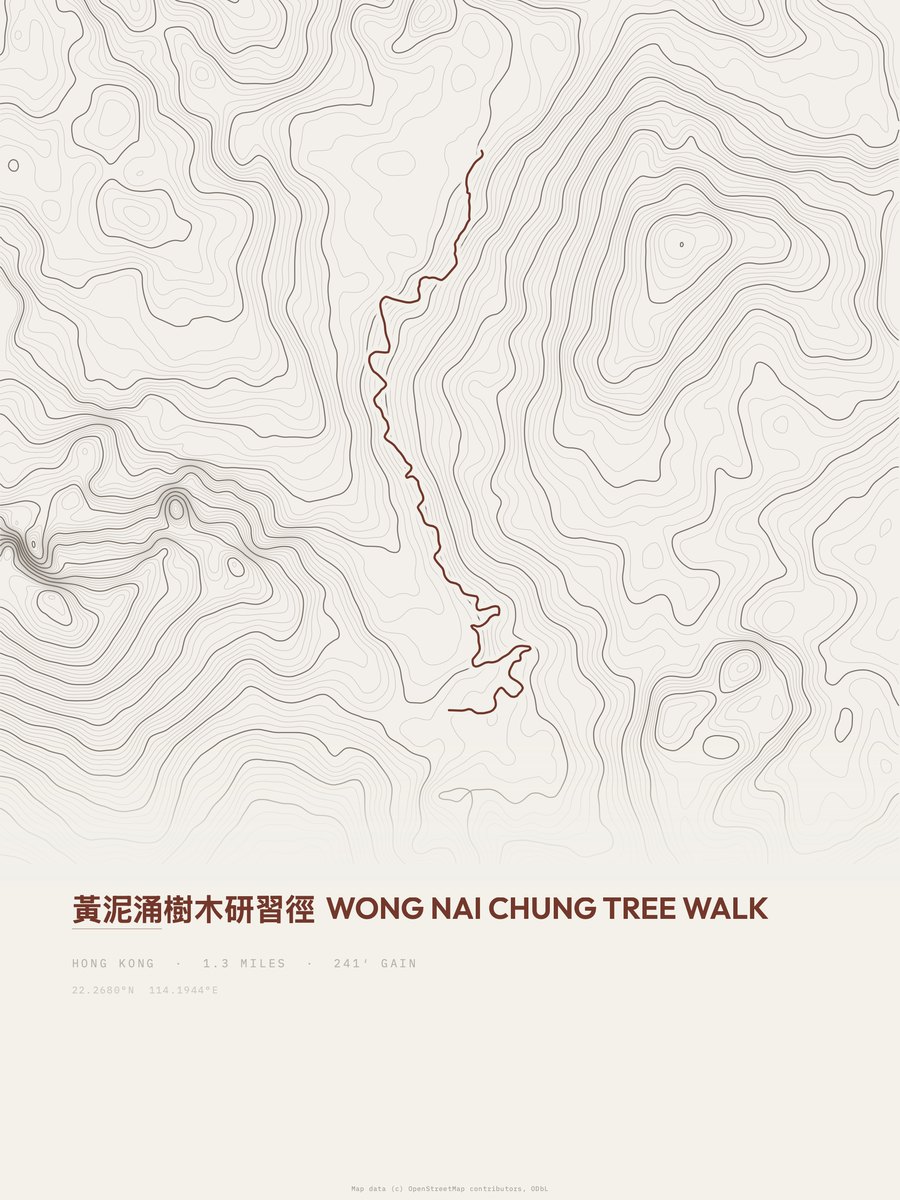
| 8 | Wong Nai Chung Tree Walk | 1.3 | 241 | 185 | 18% | 558 to 728 | 25 | |
| 9 | Tei Tong Tsai Country Trail | 1.2 | 298 | 248 | 29% | 768 to 1,066 | 26.7 | |
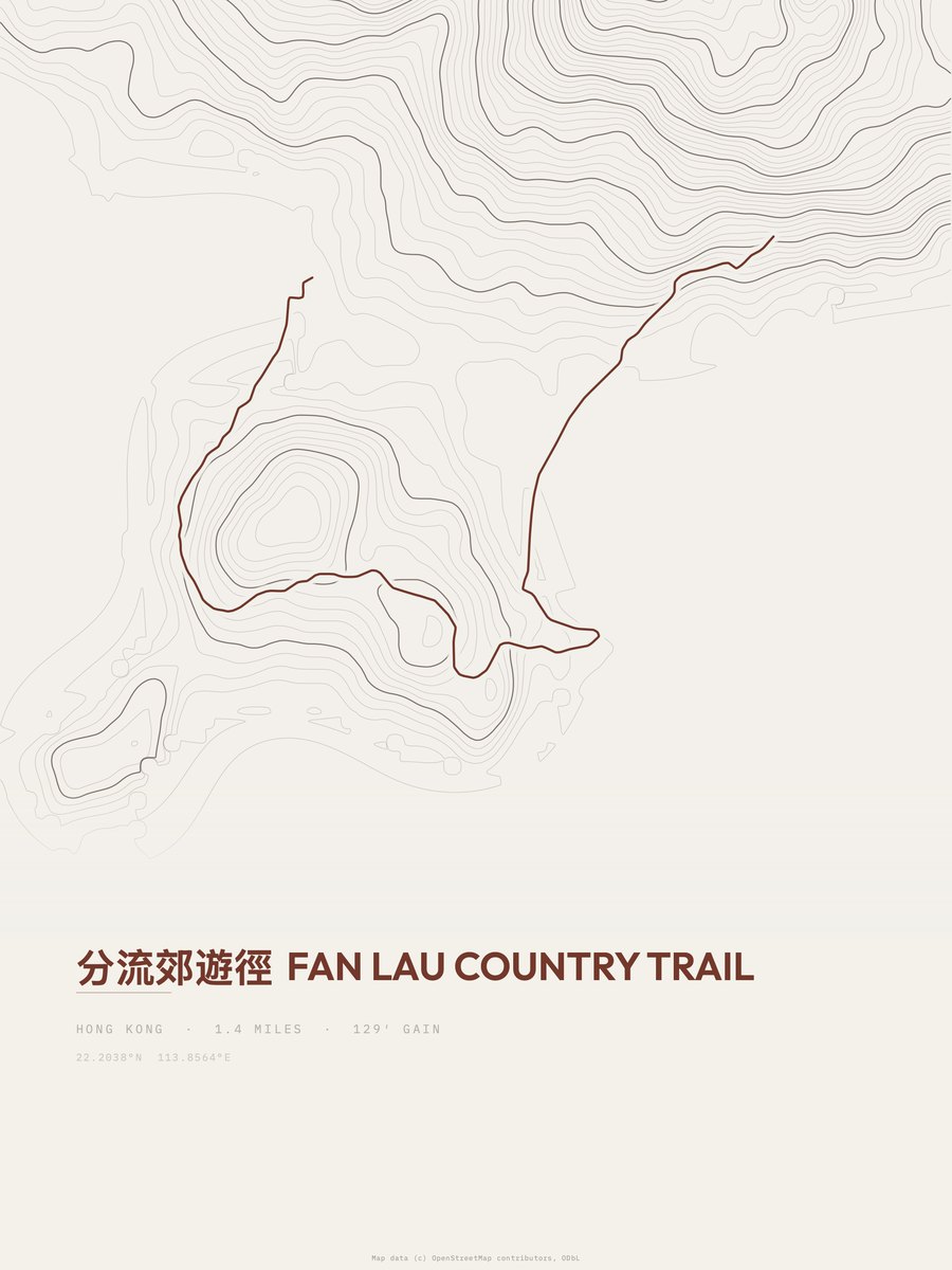
| 10 | Fan Lau Country Trail | 1.4 | 311 | 222 | 19% | 0 to 187 | 29.5 | |
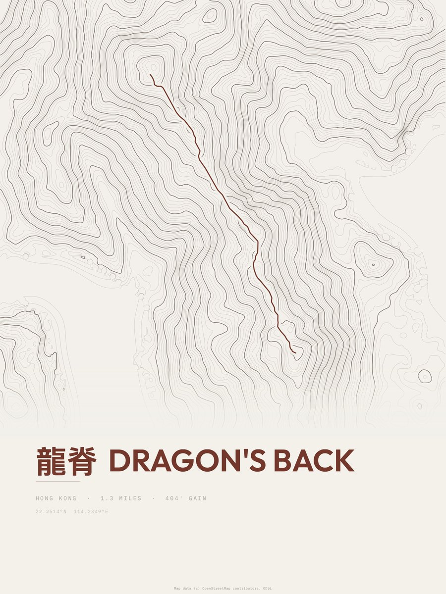
| 11 | Dragon's Back | 1.3 | 404 | 311 | 23% | 719 to 1,142 | 32.4 | |
| 12 | Lantau Trail | 1.7 | 413 | 243 | 20% | 20 to 463 | 37.5 | |
| 13 | Pok Fu Lam Family Walk | 2 | 453 | 227 | 36% | 554 to 906 | 42.6 |







How this list is ranked
Rating = the square root of 2 x elevation gain (ft) x distance (miles), the gain-and-distance formula Shenandoah National Park publishes for its own trails. Bands: under 50 easiest, 50 to 100 moderate, 100 to 150 moderately strenuous, 150 to 200 strenuous, 200 and over very strenuous.
This list: band easiest (under 50), 1 to 6 miles, no more than 500 ft of gain, ordered by rating asc, miles asc, capped at 25. The rating column is computed from the miles and gain printed in the same row, the numbers each trail page uses, so every row can be checked from the row itself. The rating says nothing about exposure, scrambling, altitude or conditions.
Only trails with a full page count, so "Hong Kong" here means the 56 trails in Hong Kong in our dataset, not every trail in Hong Kong.
Each trail page shows the full elevation profile behind these numbers and the same data drawn as a topographic print, made to order. Start with Ngong Ping Fun Trail.
Easiest hikes elsewhere.
The same ranking for other countries in our dataset.