The hardest hikes in New Zealand, by the numbers
Of the 366 trails in New Zealand in our dataset, 73 (20 percent) rate strenuous or very strenuous on the gain-and-distance scale we use and run 3 to 30 miles with at least 1,500 ft of climb; these are the 25 with the highest rating.
Te Araroa leads with 9,532 ft of gain over 28.1 miles, 339 ft per mile, with a steepest pitch of 40 percent.
Across the 25, gain runs from 2,438 to 9,532 ft and distance from 10.1 miles to 29.9 miles; the median gain is 4,055 ft and the median distance 22.2 miles.
21 of the 25 are point-to-point routes; the rest are loop (4).
| # | Trail | Miles | Gain (ft) | Ft per mile | Max grade | Elevation (ft) | Rating | Profile |
|---|---|---|---|---|---|---|---|---|
| 1 | Te Araroa | 28.1 | 9,532 | 339 | 40% | 326 to 4,797 | 731.9 | |
| 2 | Lake Waikaremoana TrackTe Urewera NP | 29.9 | 6,394 | 214 | 71% | 1,919 to 3,847 | 618.4 | |
| 3 | Paparoa TrackPaparoa NP | 28.7 | 5,356 | 187 | 22% | 53 to 3,755 | 554.5 | |
| 4 | Tongariro Northern CircuitTongariro NP | 27.9 | 4,686 | 168 | 55% | 3,536 to 6,132 | 511.3 | |
| 5 | Abel Tasman Inland TrackAbel Tasman NP | 22.6 | 5,197 | 230 | 28% | 59 to 3,432 | 484.7 | |
| 6 | Te Araroa | 26.7 | 4,068 | 152 | 29% | 130 to 3,298 | 466.1 | |
| 7 | Lake WaikaremoanaTe Urewera NP | 26.4 | 4,055 | 154 | 32% | 1,913 to 3,822 | 462.7 | |
| 8 | Karamea TrackKahurangi NP | 25.3 | 4,135 | 163 | 29% | 859 to 4,108 | 457.4 | |
| 9 | Dun Mountain TrailSouth Island | 22.2 | 4,290 | 193 | 70% | 124 to 2,877 | 436.4 | |
| 10 | Kepler TrackFiordland NP | 22.2 | 4,096 | 185 | 29% | 589 to 4,581 | 426.5 | |
| 11 | Te Araroa | 22.6 | 3,940 | 174 | 28% | 63 to 1,278 | 422 | |
| 12 | Te Araroa | 25.8 | 3,281 | 127 | 29% | 214 to 1,844 | 411.5 | |
| 13 | Rakiura TrackStewart Island Oban | 22.1 | 3,544 | 160 | 43% | 2 to 597 | 395.8 | |
| 14 | Routeburn TrackMount Aspiring NP | 19.2 | 3,891 | 203 | 41% | 1,568 to 4,197 | 386.5 | |
| 15 | Routeburn TrackFiordland NP | 19.2 | 3,841 | 200 | 41% | 1,567 to 4,206 | 384 | |
| 16 | 42 TraverseTongariro NP | 28 | 2,438 | 87 | 16% | 1,146 to 2,981 | 369.5 | |
| 17 | Waitonga FallsTongariro NP | 19.8 | 3,419 | 173 | 58% | 3,578 to 5,110 | 368 | |
| 18 | Te Araroa | 17.5 | 3,326 | 190 | 31% | 45 to 1,501 | 341.2 | |
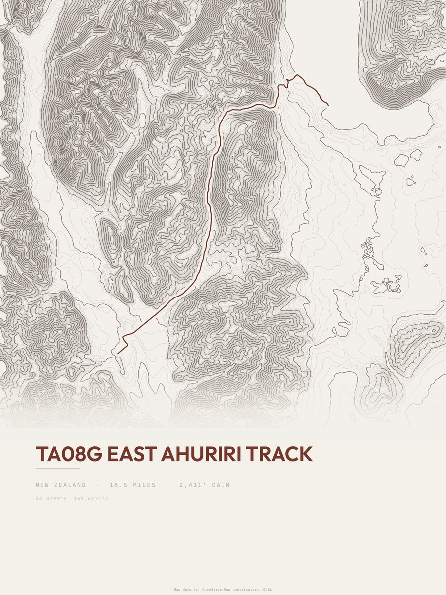
| 19 | East Ahuriri Track | 18.5 | 3,124 | 169 | 31% | 1,713 to 4,721 | 340 | |
| 20 | Kepler TrackFiordland NP | 11.6 | 4,738 | 408 | 45% | 883 to 4,626 | 331.5 | |
| 21 | Boulder Lake TrackKahurangi NP | 12.1 | 4,526 | 374 | 39% | 168 to 4,317 | 331 | |
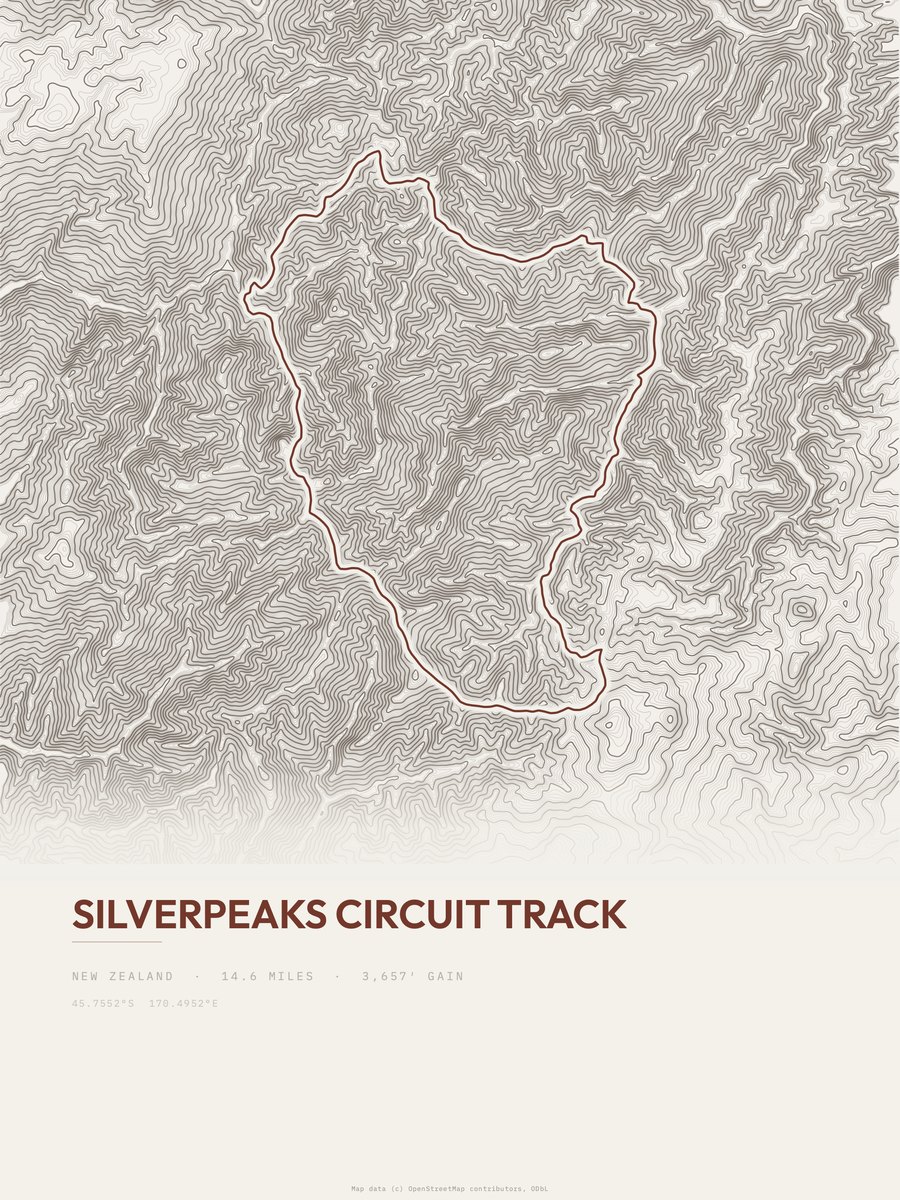
| 22 | Silverpeaks Circuit Track | 14.6 | 3,657 | 250 | 45% | 576 to 2,549 | 326.8 | |
| 23 | Cascade Saddle RouteMount Aspiring NP | 10.1 | 4,821 | 477 | 65% | 1,535 to 5,806 | 312.1 | |
| 24 | Queen Charlotte TrackSouth Island | 15.3 | 3,123 | 204 | 32% | 176 to 1,522 | 309.1 | |
| 25 | Tongariro Alpine CrossingTongariro NP | 12 | 3,937 | 328 | 54% | 2,511 to 6,139 | 307.4 |






How this list is ranked
Rating = the square root of 2 x elevation gain (ft) x distance (miles), the gain-and-distance formula Shenandoah National Park publishes for its own trails. Bands: under 50 easiest, 50 to 100 moderate, 100 to 150 moderately strenuous, 150 to 200 strenuous, 200 and over very strenuous.
This list: band strenuous (150 to 200) or very strenuous (200 and over), 3 to 30 miles, at least 1,500 ft of gain, ordered by rating desc, gain per mile desc, capped at 25. The rating column is computed from the miles and gain printed in the same row, the numbers each trail page uses, so every row can be checked from the row itself. The rating says nothing about exposure, scrambling, altitude or conditions.
Only trails with a full page count, so "New Zealand" here means the 366 trails in New Zealand in our dataset, not every trail in New Zealand.
Each trail page shows the full elevation profile behind these numbers and the same data drawn as a topographic print, made to order. Start with Te Araroa.
Hardest hikes elsewhere.
The same ranking for other countries in our dataset.