The hardest hikes in Canada, by the numbers
Of the 852 trails in Canada in our dataset, 157 (18 percent) rate strenuous or very strenuous on the gain-and-distance scale we use and run 3 to 30 miles with at least 1,500 ft of climb; these are the 25 with the highest rating.
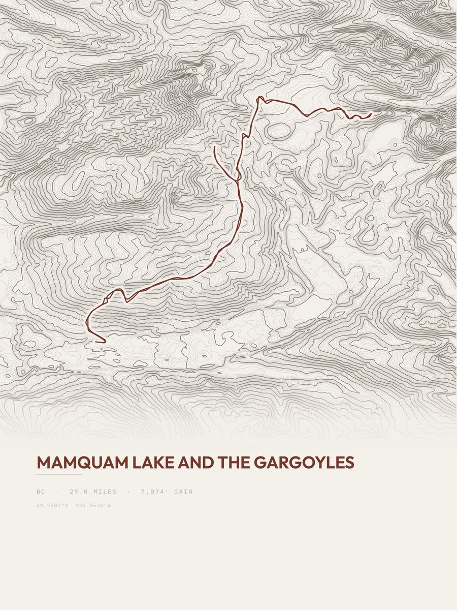
Mamquam Lake and the Gargoyles leads with 7,074 ft of gain over 29 miles, 244 ft per mile, with a steepest pitch of 51 percent.
Across the 25, gain runs from 3,341 to 9,593 ft and distance from 9.3 miles to 29.2 miles; the median gain is 5,477 ft and the median distance 22.1 miles.
21 of the 25 are point-to-point routes; the rest are out-and-back (3) or loop (1).
| # | Trail | Miles | Gain (ft) | Ft per mile | Max grade | Elevation (ft) | Rating | Profile |
|---|---|---|---|---|---|---|---|---|
| 1 | Mamquam Lake and the GargoylesVancouver Coast and Mountains | 29 | 7,074 | 244 | 51% | 3,211 to 5,868 | 640.5 | |
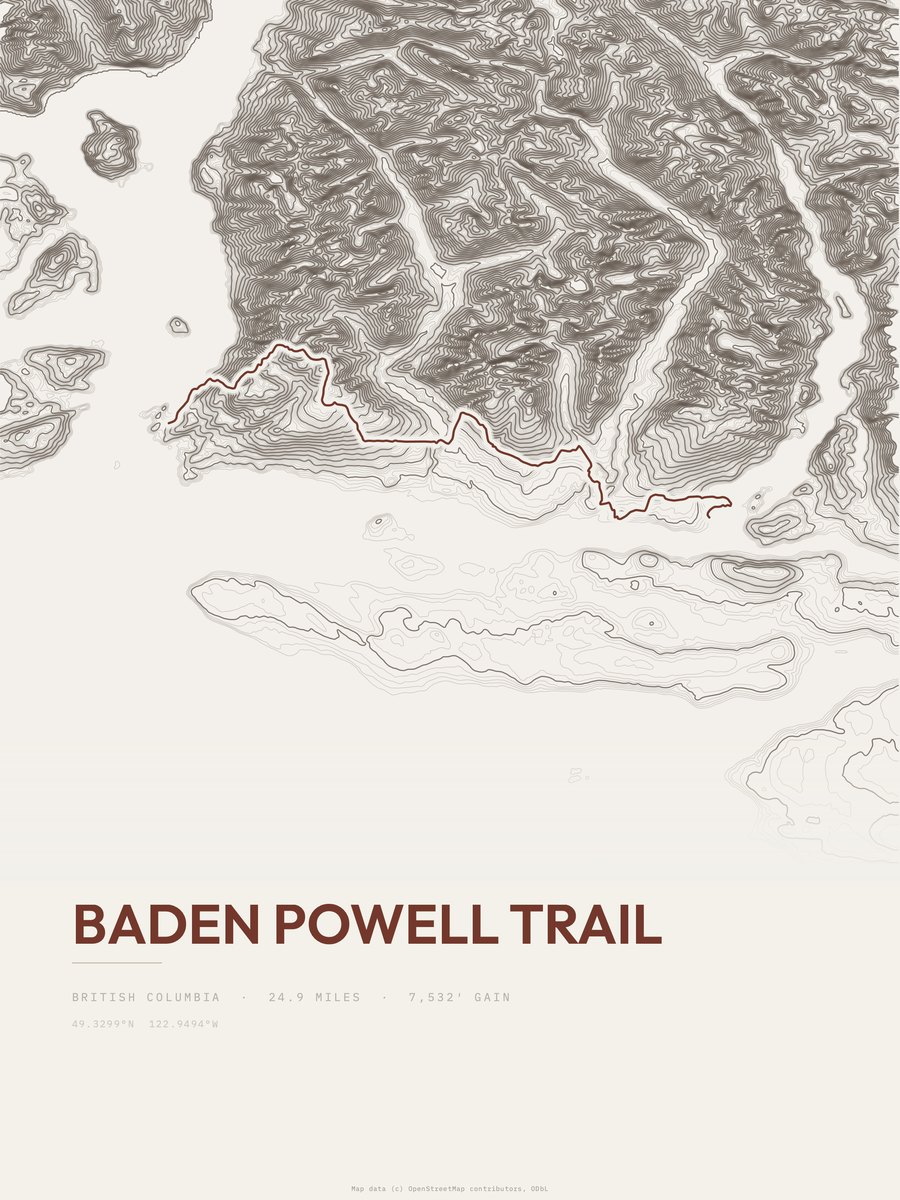
| 2 | Baden Powell Trail | 24.9 | 7,532 | 302 | 56% | 62 to 3,993 | 612.4 | |
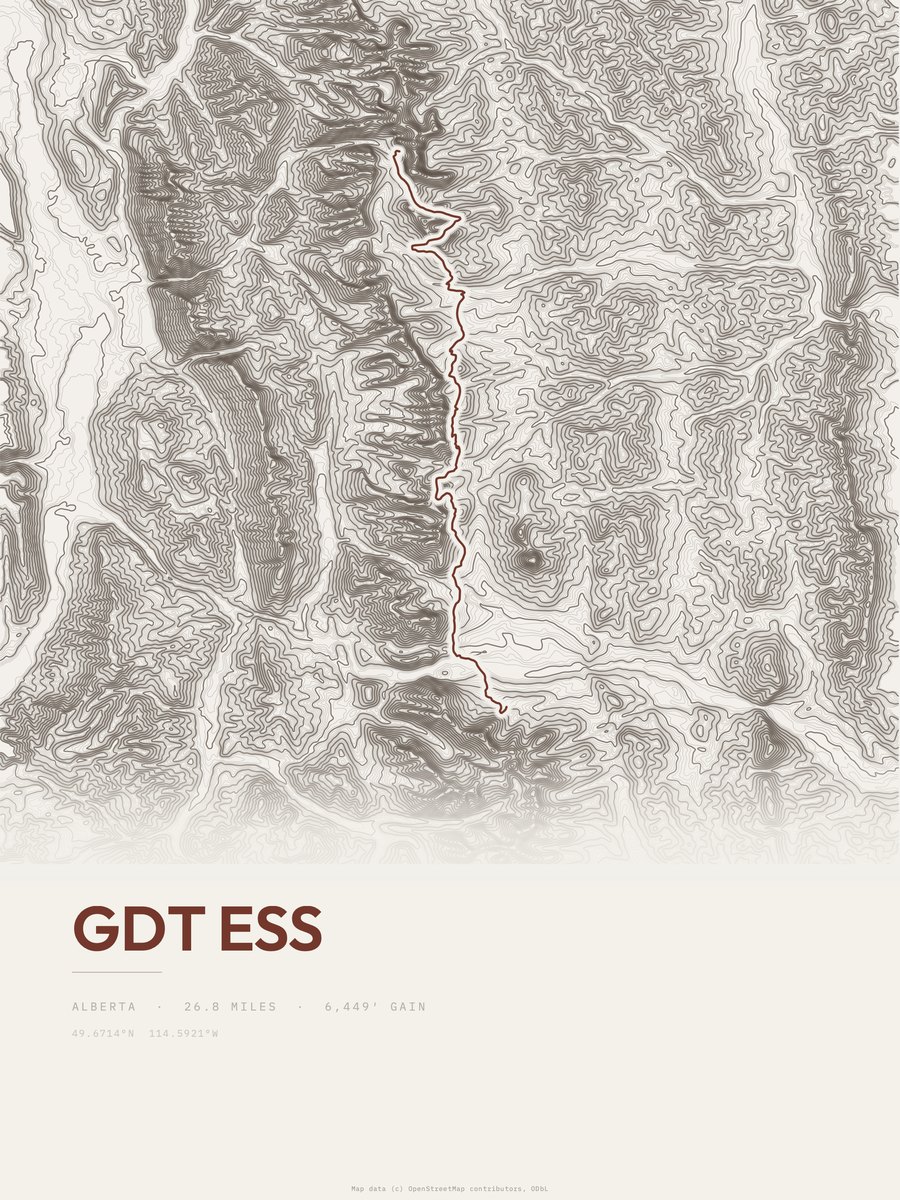
| 3 | GDT ess | 26.8 | 6,449 | 241 | 22% | 4,843 to 7,316 | 587.9 | |
| 4 | GDT engKootenay NP | 22.1 | 7,388 | 334 | 41% | 4,324 to 7,654 | 571.4 | |
| 5 | Great Divide TrailYoho NP | 21.4 | 7,343 | 343 | 71% | 4,093 to 8,095 | 560.6 | |
| 6 | Northover Ridge Figure EightBanff NP | 29.2 | 5,129 | 176 | 63% | 5,589 to 9,043 | 547.3 | |
| 7 | Great Divide TrailJasper NP | 24.2 | 5,998 | 248 | 33% | 5,617 to 8,352 | 538.8 | |
| 8 | Phillips Ridge Route | 14.2 | 9,593 | 676 | 70% | 1,152 to 7,201 | 522 | |
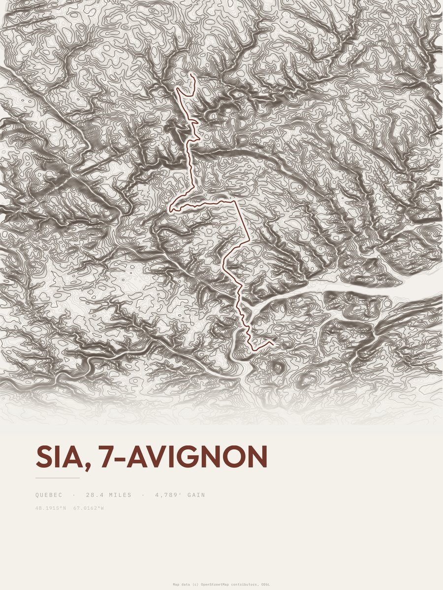
| 9 | SIA, 7-Avignon | 28.4 | 4,789 | 169 | 32% | 16 to 1,545 | 521.6 | |
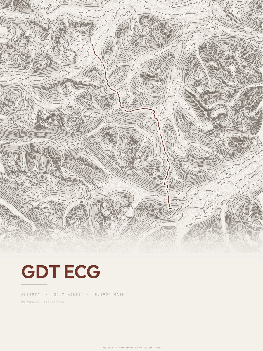
| 10 | GDT ecg | 22.7 | 5,890 | 259 | 33% | 4,898 to 7,477 | 517.1 | |
| 11 | Fundy FootpathFundy NP | 22.1 | 5,839 | 264 | 51% | 0 to 722 | 508 | |
| 12 | GDT ewmWaterton Lakes NP | 23.3 | 5,327 | 229 | 47% | 4,623 to 7,999 | 498.2 | |
| 13 | GDT enjBanff NP | 19.9 | 6,080 | 306 | 28% | 4,396 to 7,756 | 491.9 | |
| 14 | Great Divide TrailBanff NP | 20.6 | 5,333 | 259 | 37% | 5,537 to 9,064 | 468.7 | |
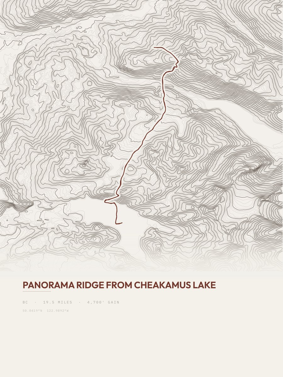
| 15 | Panorama RidgeVancouver Coast and Mountains | 19.5 | 4,700 | 241 | 49% | 2,744 to 6,962 | 428.1 | |
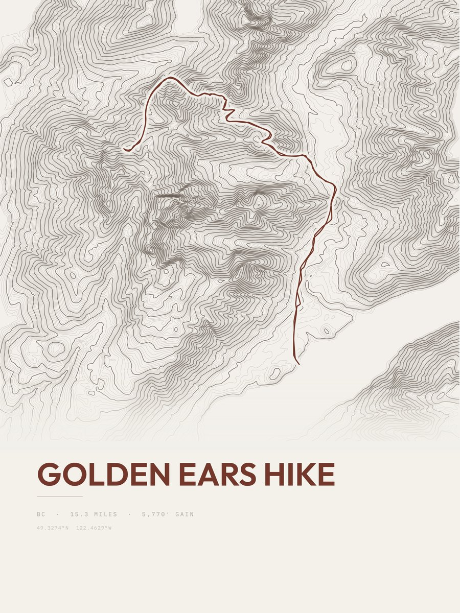
| 16 | Golden Ears HikeVancouver Coast and Mountains | 15.3 | 5,770 | 377 | 42% | 619 to 5,543 | 420.2 | |
| 17 | Howe Sound Crest TrailVancouver Coast and Mountains | 16.1 | 5,477 | 340 | 45% | 308 to 5,204 | 420 | |
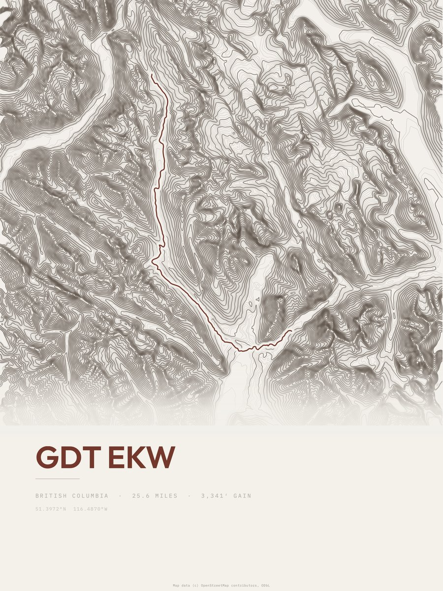
| 18 | GDT ekwYoho NP | 25.6 | 3,341 | 131 | 13% | 3,835 to 6,486 | 413.6 | |
| 19 | Poboktan Pass TrailJasper NP | 24 | 3,499 | 146 | 48% | 5,057 to 7,601 | 409.8 | |
| 20 | GDT eilJasper NP | 23.5 | 3,570 | 152 | 21% | 5,794 to 8,153 | 409.6 | |
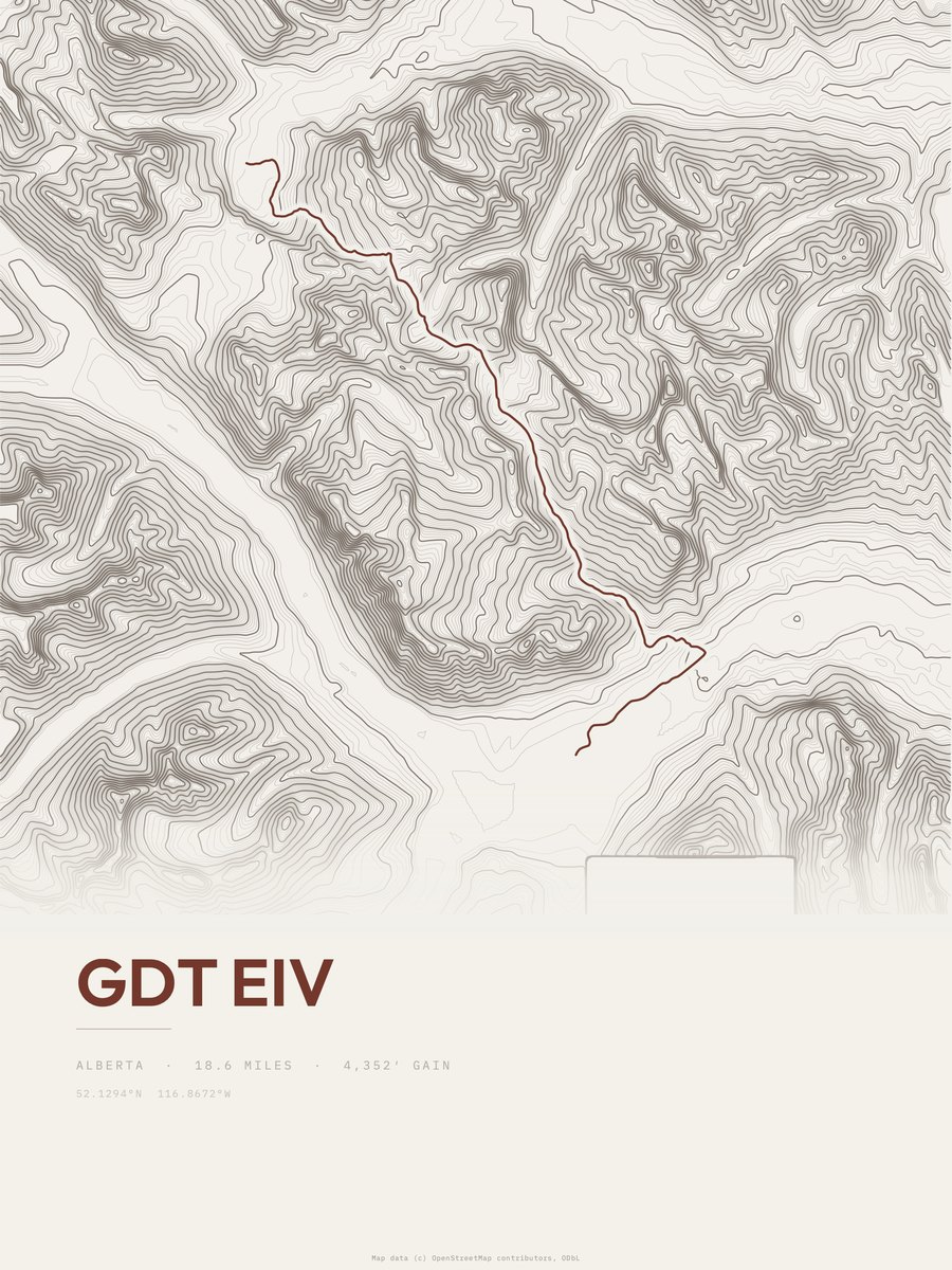
| 21 | GDT eiv | 18.6 | 4,352 | 234 | 36% | 4,524 to 8,474 | 402.4 | |
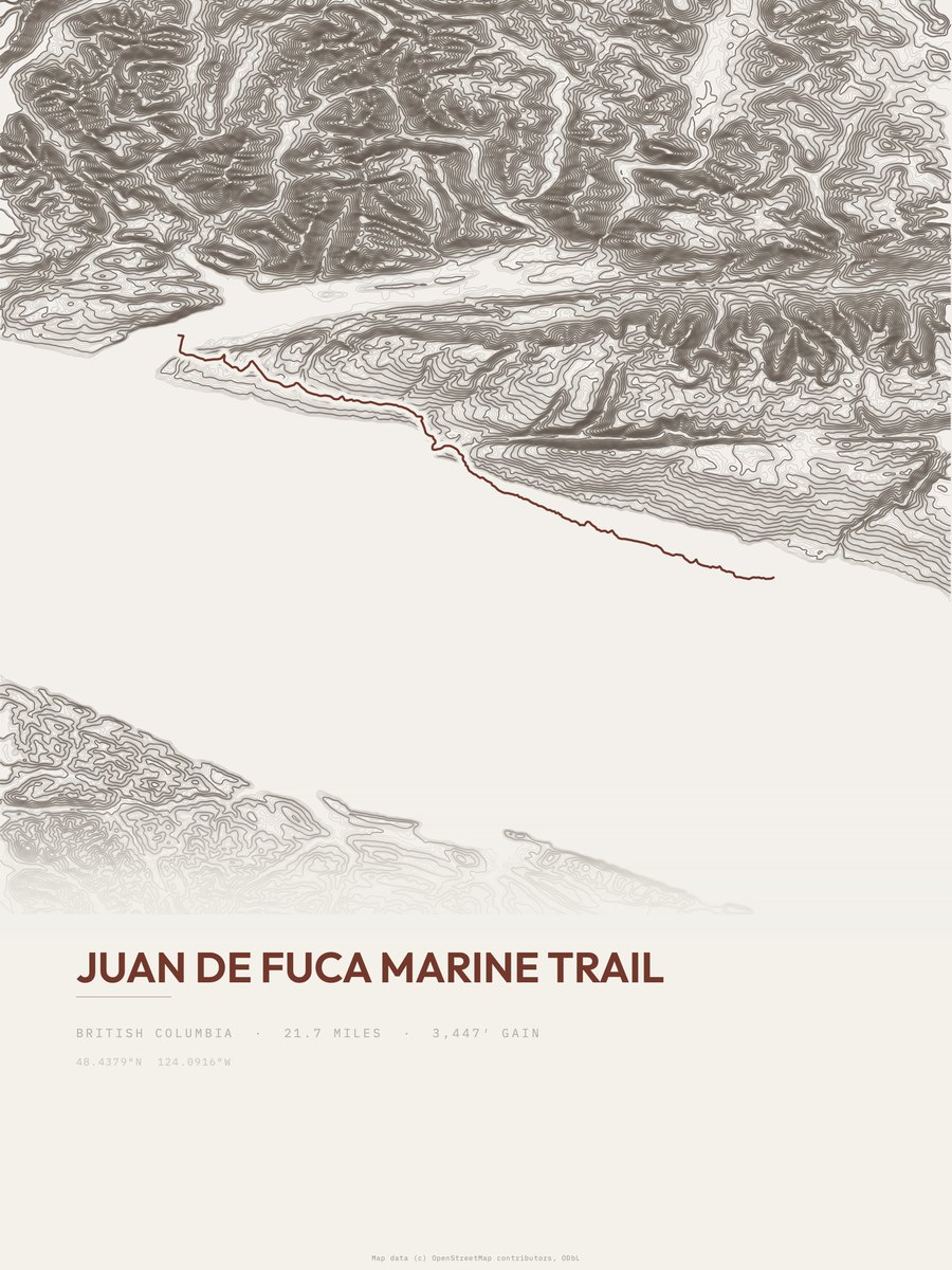
| 22 | Juan de Fuca Marine Trail | 21.7 | 3,447 | 159 | 30% | 0 to 544 | 386.8 | |
| 23 | Northover Ridge TrailBanff NP | 17.2 | 4,293 | 250 | 63% | 5,696 to 9,041 | 384.3 | |
| 24 | Mount Alexandra Route | 9.3 | 7,819 | 841 | 66% | 5,673 to 11,158 | 381.4 | |
| 25 | GDT ewrWaterton Lakes NP | 17.8 | 3,726 | 209 | 33% | 5,230 to 8,251 | 364.2 |









How this list is ranked
Rating = the square root of 2 x elevation gain (ft) x distance (miles), the gain-and-distance formula Shenandoah National Park publishes for its own trails. Bands: under 50 easiest, 50 to 100 moderate, 100 to 150 moderately strenuous, 150 to 200 strenuous, 200 and over very strenuous.
This list: band strenuous (150 to 200) or very strenuous (200 and over), 3 to 30 miles, at least 1,500 ft of gain, ordered by rating desc, gain per mile desc, capped at 25. The rating column is computed from the miles and gain printed in the same row, the numbers each trail page uses, so every row can be checked from the row itself. The rating says nothing about exposure, scrambling, altitude or conditions.
Only trails with a full page count, so "Canada" here means the 852 trails in Canada in our dataset, not every trail in Canada.
Each trail page shows the full elevation profile behind these numbers and the same data drawn as a topographic print, made to order. Start with Mamquam Lake and the Gargoyles.
Hardest hikes elsewhere.
The same ranking for other countries in our dataset.