The hardest hikes in India, by the numbers
Of the 118 trails in India in our dataset, 41 (35 percent) rate strenuous or very strenuous on the gain-and-distance scale we use and run 3 to 30 miles with at least 1,500 ft of climb; these are the 25 with the highest rating.
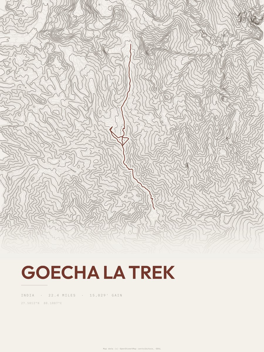
Goecha La Trek leads with 15,029 ft of gain over 22.4 miles, 671 ft per mile, with a steepest pitch of 70 percent.
Across the 25, gain runs from 3,610 to 15,029 ft and distance from 8.3 miles to 24.4 miles; the median gain is 8,363 ft and the median distance 16.2 miles.
22 of the 25 are point-to-point routes; the rest are out-and-back (3).
| # | Trail | Miles | Gain (ft) | Ft per mile | Max grade | Elevation (ft) | Rating | Profile |
|---|---|---|---|---|---|---|---|---|
| 1 | Goecha La TrekKhangchendzonga NP | 22.4 | 15,029 | 671 | 70% | 5,774 to 15,033 | 820.5 | |
| 2 | Shrikhand MahadevPin Valley NP | 22.6 | 13,965 | 618 | 71% | 6,332 to 16,952 | 794.5 | |
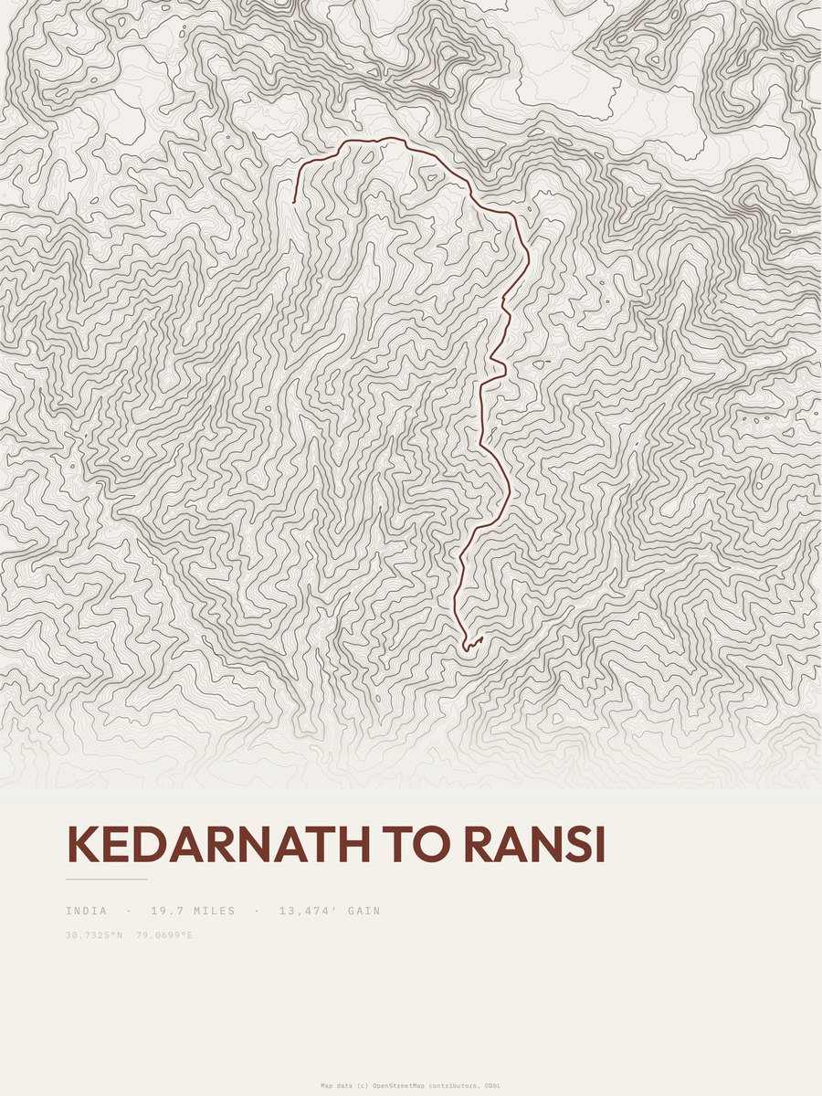
| 3 | Kedarnath to Ransi | 19.7 | 13,474 | 684 | 54% | 6,447 to 15,768 | 728.6 | |
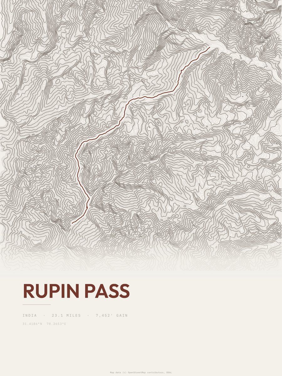
| 4 | Rupin Pass | 23.1 | 9,606 | 416 | 47% | 6,654 to 15,315 | 666.2 | |
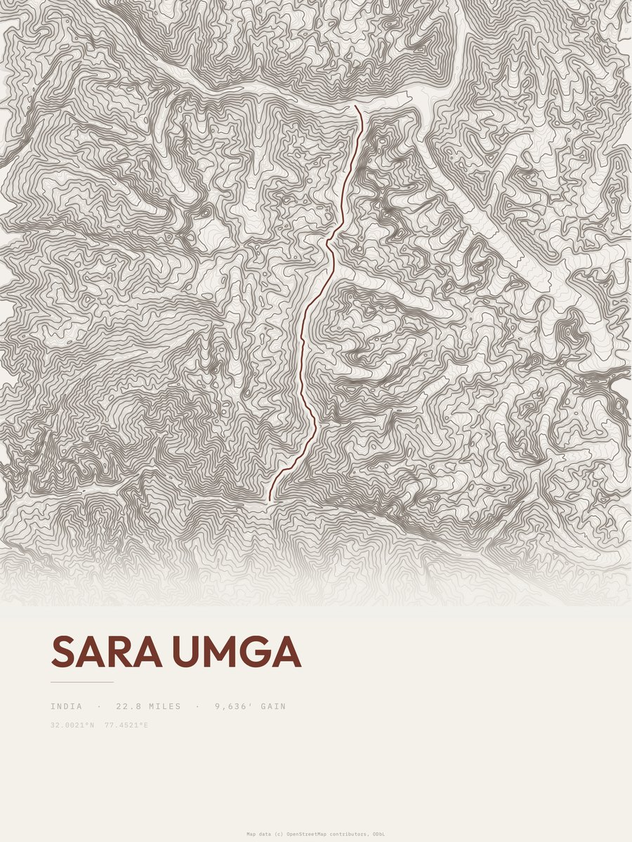
| 5 | Sara UmgaKhirganga NP | 22.8 | 9,636 | 423 | 40% | 7,201 to 16,404 | 662.9 | |
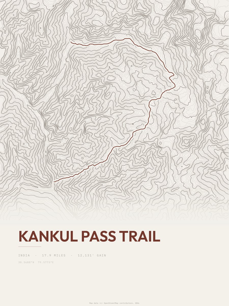
| 6 | Kankul Pass TrailNanda Devi and Valley of Flowers National Parks | 17.9 | 12,131 | 678 | 62% | 5,043 to 15,180 | 659 | |
| 7 | Ke LaHemis NP | 24.4 | 7,479 | 307 | 46% | 11,312 to 18,638 | 604.1 | |
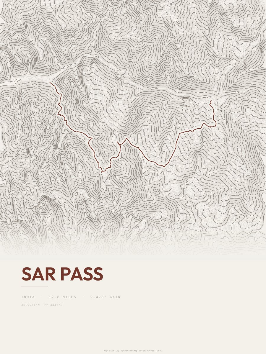
| 8 | Sar Pass | 17.8 | 9,478 | 532 | 65% | 5,220 to 13,540 | 580.9 | |
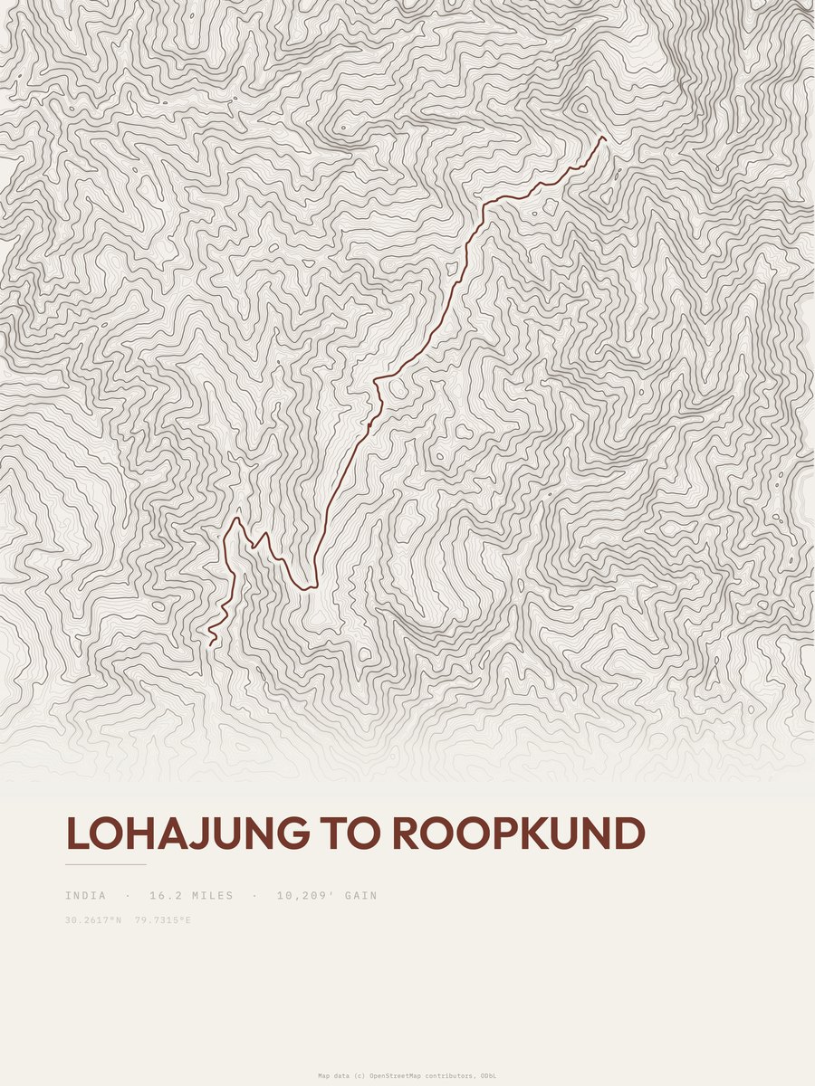
| 9 | Lohajung to Roopkund | 16.2 | 10,209 | 630 | 53% | 6,699 to 15,702 | 575.1 | |
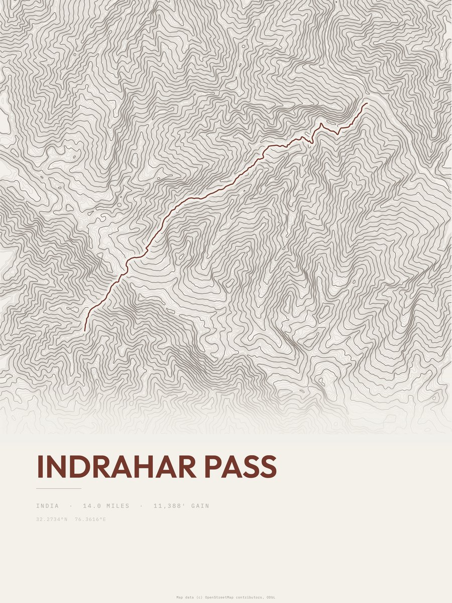
| 10 | Indrahar Pass | 14 | 11,388 | 813 | 72% | 5,791 to 14,236 | 564.7 | |
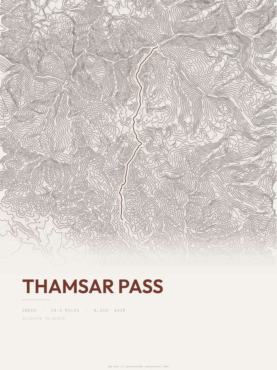
| 11 | Thamsar Pass | 18.5 | 8,215 | 444 | 53% | 8,123 to 15,482 | 551.3 | |
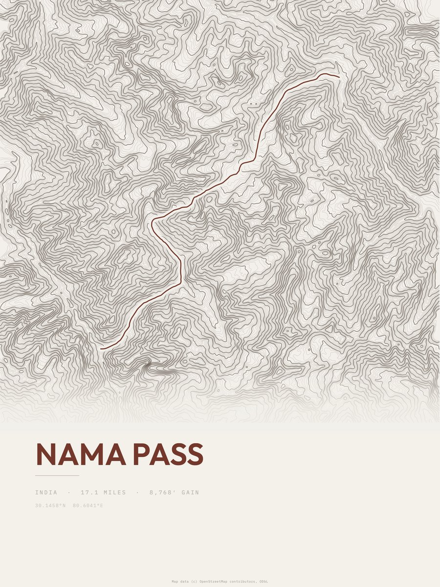
| 12 | Nama Pass | 17.1 | 8,768 | 513 | 59% | 7,986 to 16,706 | 547.6 | |
| 13 | Nama Pass Trail | 14 | 8,768 | 626 | 53% | 7,986 to 16,706 | 495.5 | |
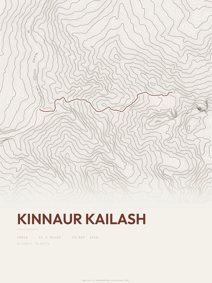
| 14 | Kinnaur Kailash | 11.3 | 10,087 | 893 | 76% | 6,506 to 15,551 | 477.5 | |
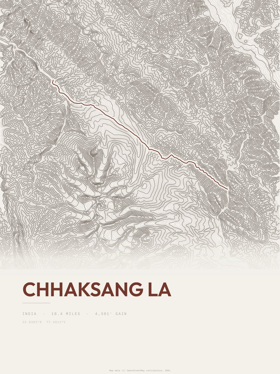
| 15 | Chhaksang LaHemis NP | 18.4 | 5,050 | 274 | 35% | 12,477 to 17,500 | 431.1 | |
| 16 | Stok KangriHemis NP | 10.3 | 8,363 | 812 | 57% | 11,781 to 20,144 | 415.1 | |
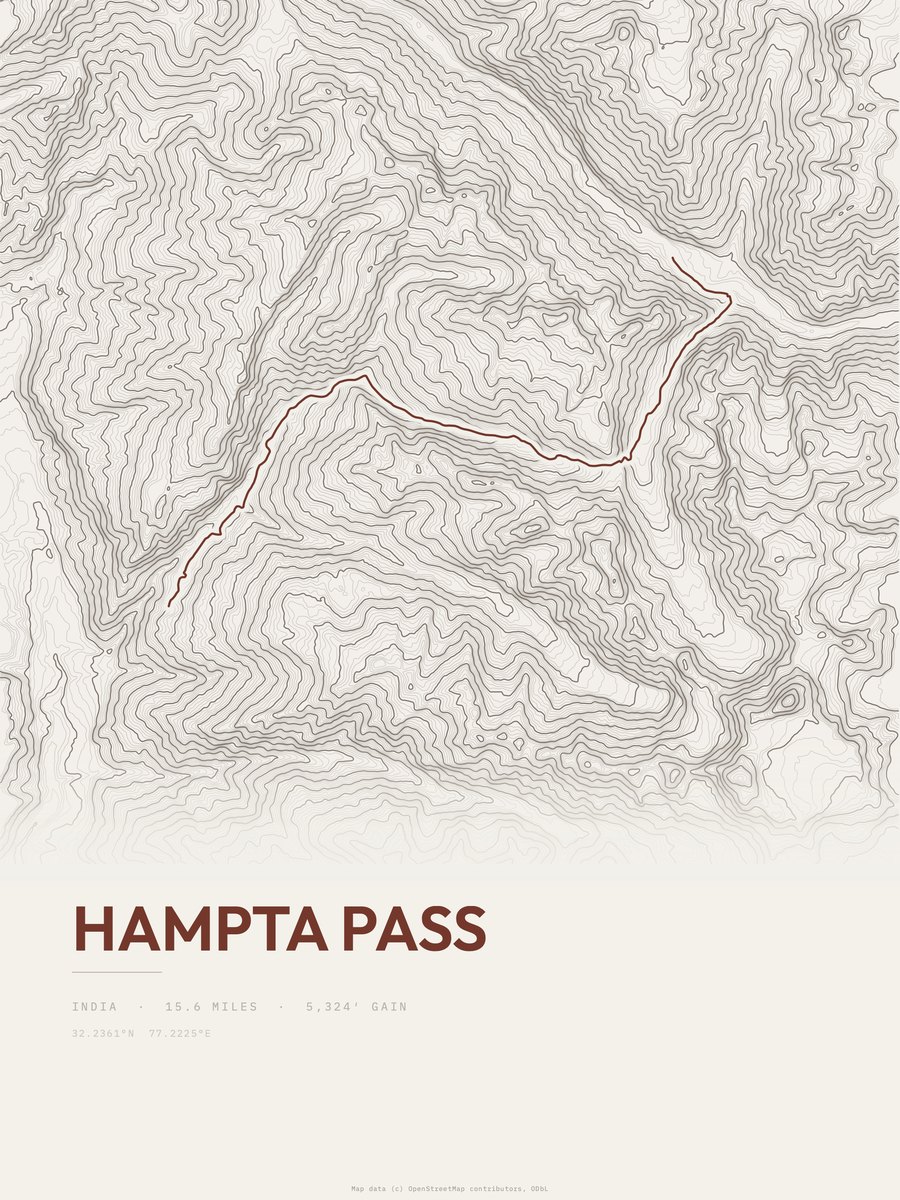
| 17 | Hampta Pass | 15.6 | 5,324 | 341 | 60% | 8,802 to 14,035 | 407.6 | |
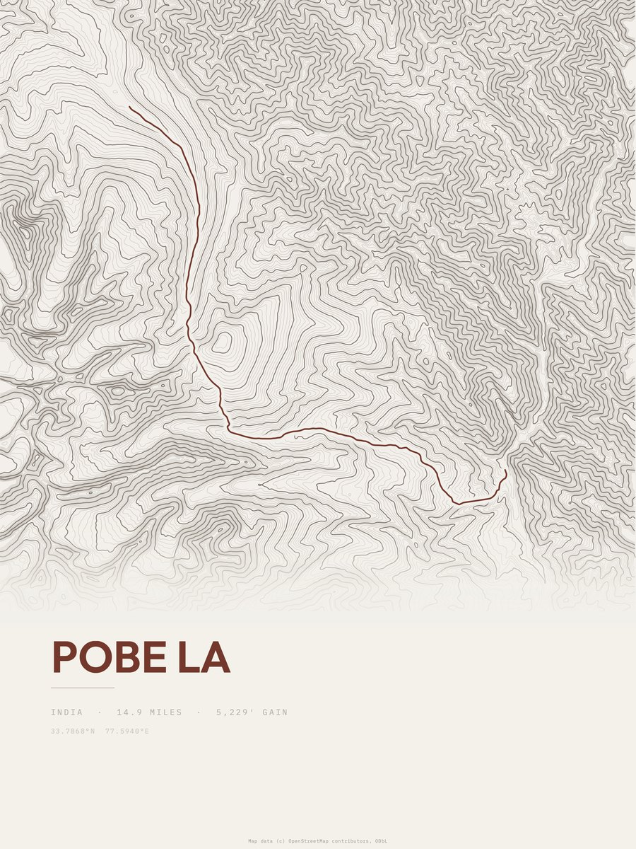
| 18 | Pobe LaHemis NP | 14.9 | 5,295 | 355 | 33% | 13,114 to 18,409 | 397.2 | |
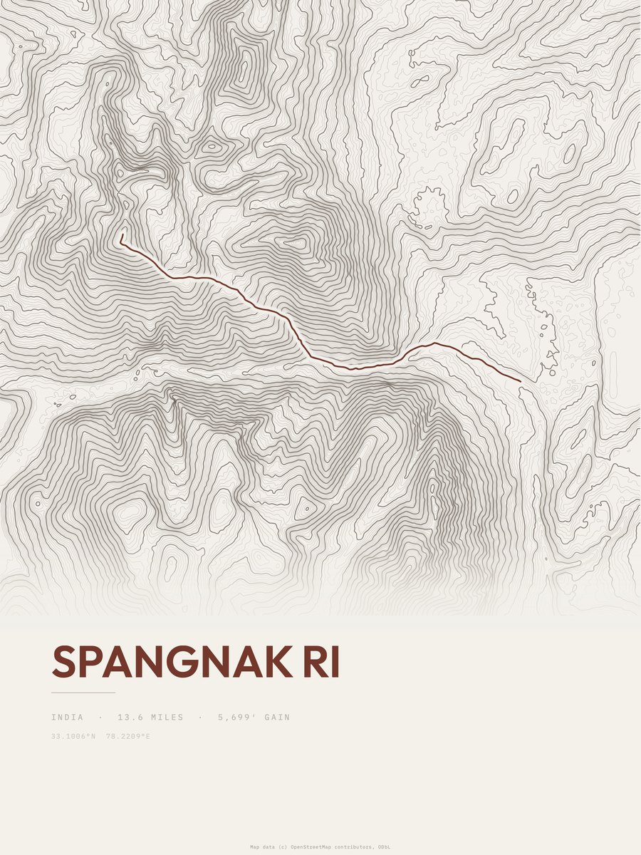
| 19 | Spangnak Ri | 13.6 | 5,699 | 419 | 47% | 15,446 to 20,912 | 393.7 | |
| 20 | Digar LaHemis NP | 14.8 | 5,010 | 339 | 51% | 12,720 to 17,746 | 385.1 | |
| 21 | Ganda LaHemis NP | 13.4 | 5,462 | 408 | 29% | 11,089 to 16,293 | 382.6 | |
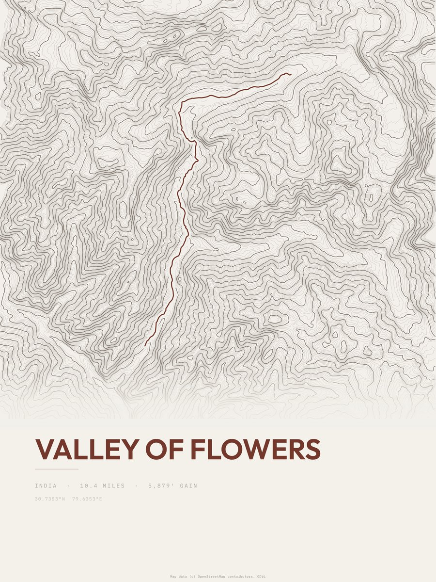
| 22 | Valley of FlowersNanda Devi and Valley of Flowers National Parks | 10.4 | 5,879 | 565 | 58% | 6,932 to 12,093 | 349.7 | |
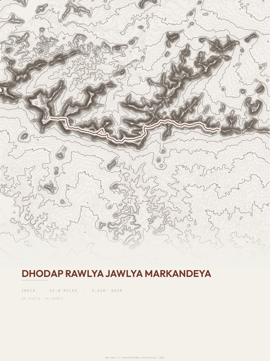
| 23 | Dhodap Rawlya Jawlya Markandeya | 16.8 | 3,610 | 215 | 50% | 2,733 to 4,032 | 348.3 | |
| 24 | Hemkund SahibNanda Devi and Valley of Flowers National Parks | 8.3 | 7,269 | 876 | 73% | 6,932 to 13,658 | 347.4 | |
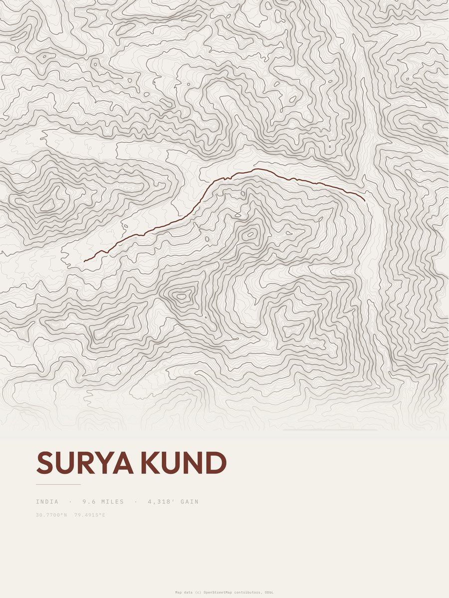
| 25 | Surya KundNanda Devi and Valley of Flowers National Parks | 9.6 | 4,318 | 450 | 34% | 10,505 to 14,337 | 287.9 |







How this list is ranked
Rating = the square root of 2 x elevation gain (ft) x distance (miles), the gain-and-distance formula Shenandoah National Park publishes for its own trails. Bands: under 50 easiest, 50 to 100 moderate, 100 to 150 moderately strenuous, 150 to 200 strenuous, 200 and over very strenuous.
This list: band strenuous (150 to 200) or very strenuous (200 and over), 3 to 30 miles, at least 1,500 ft of gain, ordered by rating desc, gain per mile desc, capped at 25. The rating column is computed from the miles and gain printed in the same row, the numbers each trail page uses, so every row can be checked from the row itself. The rating says nothing about exposure, scrambling, altitude or conditions.
Only trails with a full page count, so "India" here means the 118 trails in India in our dataset, not every trail in India.
Each trail page shows the full elevation profile behind these numbers and the same data drawn as a topographic print, made to order. Start with Goecha La Trek.
Hardest hikes elsewhere.
The same ranking for other countries in our dataset.