National park · 14 trails
Yorkshire Dales posters & trail prints.
From Pennine Way and Pennine Way on down, we carry 14 trails from Yorkshire Dales National Park. Pick the one you hiked and we'll render every switchback and foot of climb from its true elevation profile, a poster made to order, just for that route. Three Peaks Walk is the longest at 18.9 miles and the biggest climb, 4,323 ft of gain. Every print from $39, free US shipping.

The Yorkshire Dales National Park is a 2,178 km2 (841 sq mi) national park in England which covers most of the Yorkshire Dales, the Howgill Fells, and the Orton Fells. The Nidderdale area of the Yorkshire Dales is not within the national park, and has instead been designated a national landscape.
From Wikipedia: Yorkshire Dales National Park, CC BY-SA 4.0.

Pennine Way

Pennine Way

Pennine Way
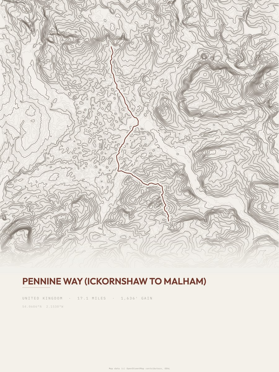
Pennine Way
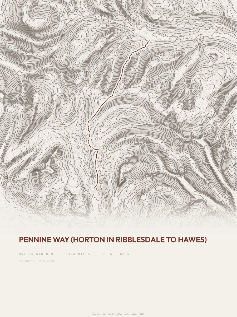
Pennine Way

Ingleton Waterfalls Trail
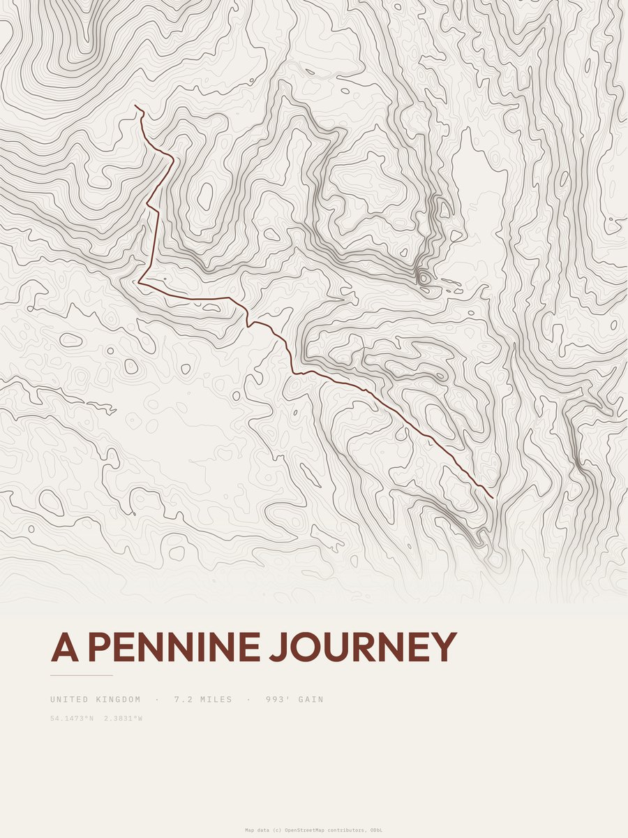
A Pennine Journey
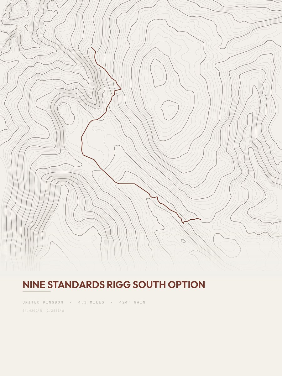
Nine Standards Rigg South Option
England
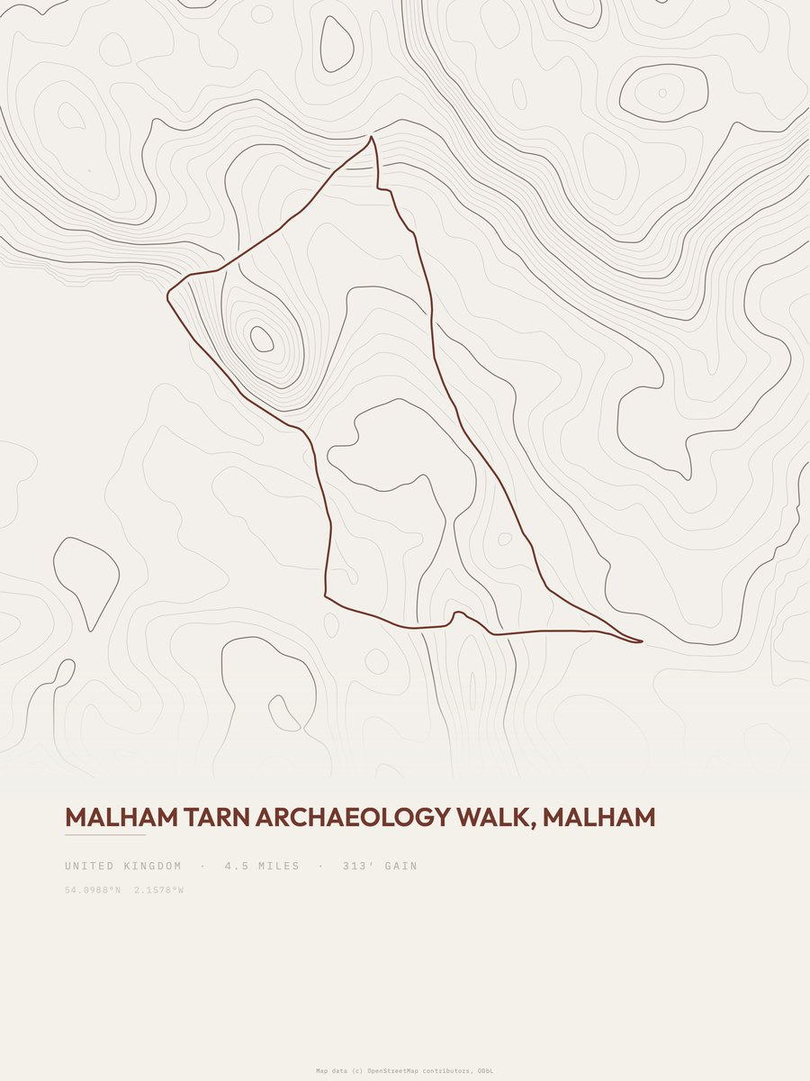
Malham Tarn Archaeology walk
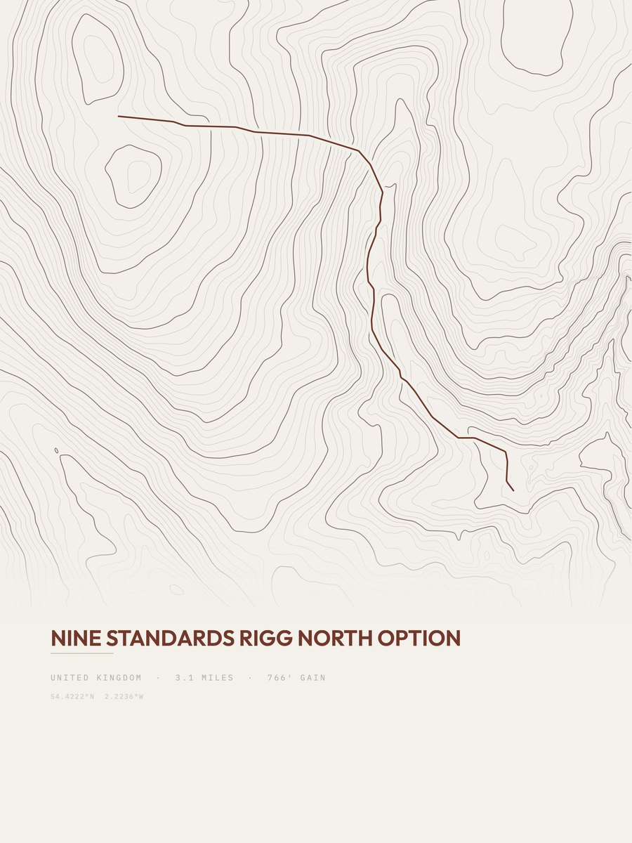
Nine Standards Rigg North Option
England
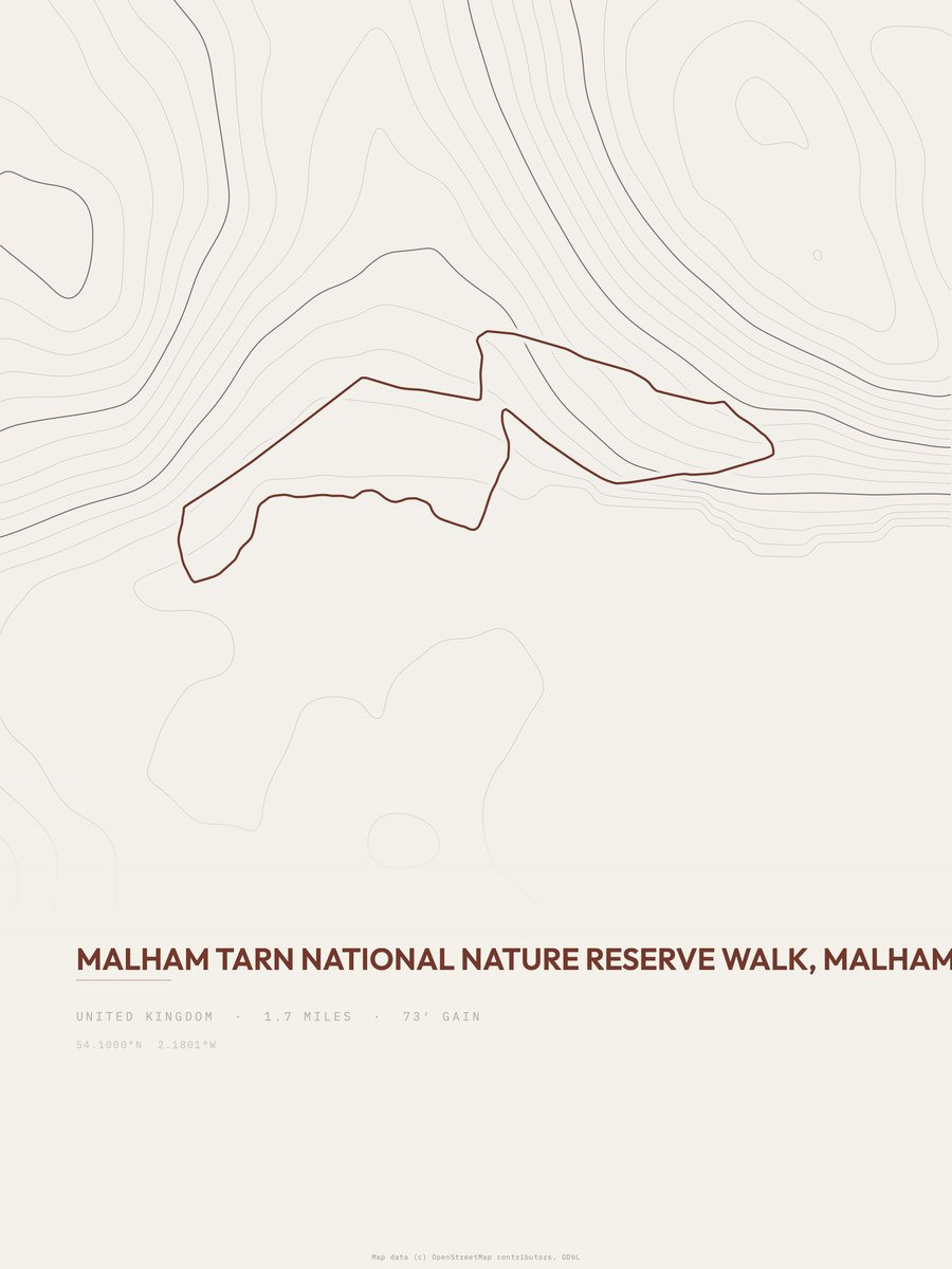
Malham Tarn
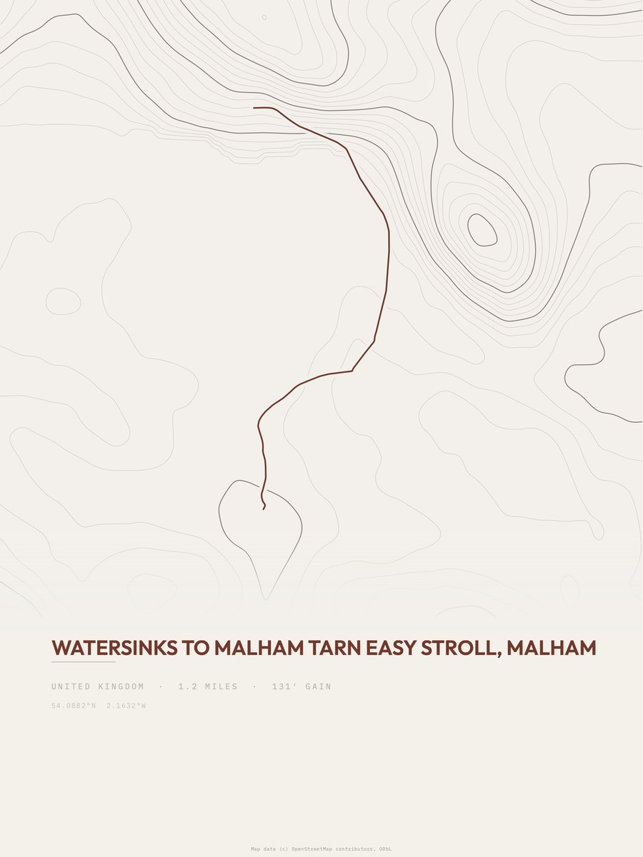
Watersinks to Malham Tarn
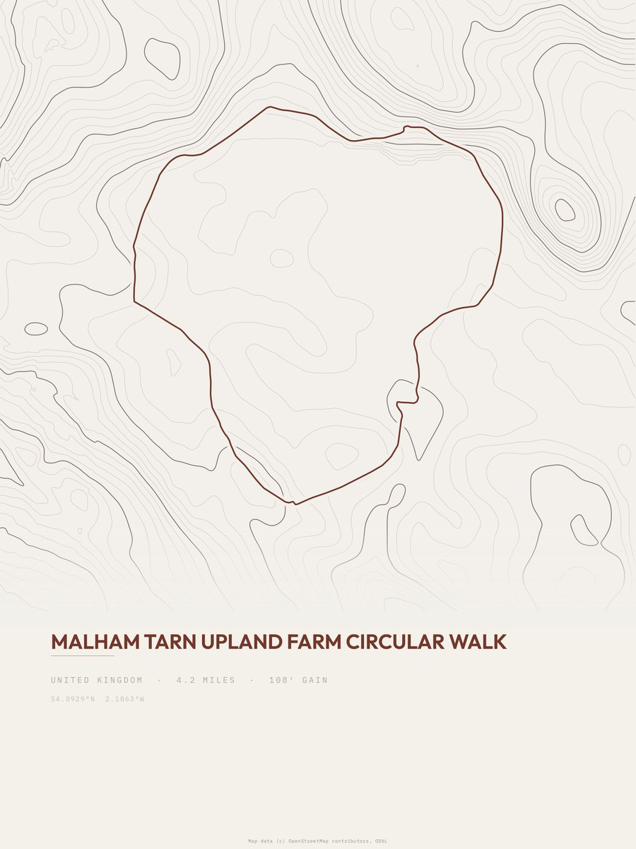
Malham Tarn

Three Peaks Walk
More parks
Yosemite postersZion postersAbel Tasman postersAcadia postersAlpine postersAoraki / Mount Cook postersArches postersArthur's Pass posters