












Ellingwood Point
The print
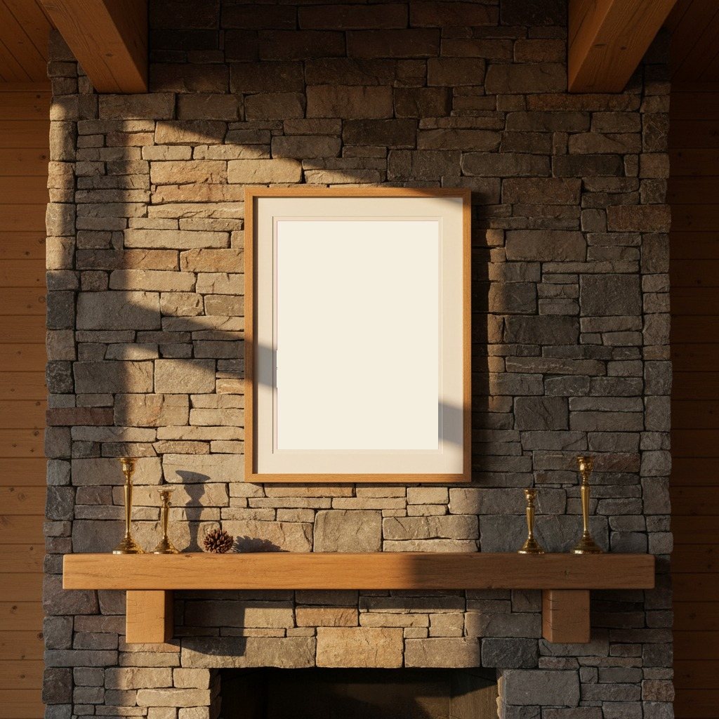
Printed to order at 300 DPI, rendered natively at your size and never upscaled. Print only; the frame in the photos is for scale.
Shipping & returns
Printed in 2 to 5 business days, then 3 to 5 in transit within the US, rolled in a sturdy tube. Free US shipping; outside the US, shipping is calculated at checkout. 14-day reprint-or-refund guarantee, any reason, no return shipping. You have 1 hour after checkout to change trail, style or size, just reply to your confirmation email. Full returns policy.
About the Ellingwood Point trail
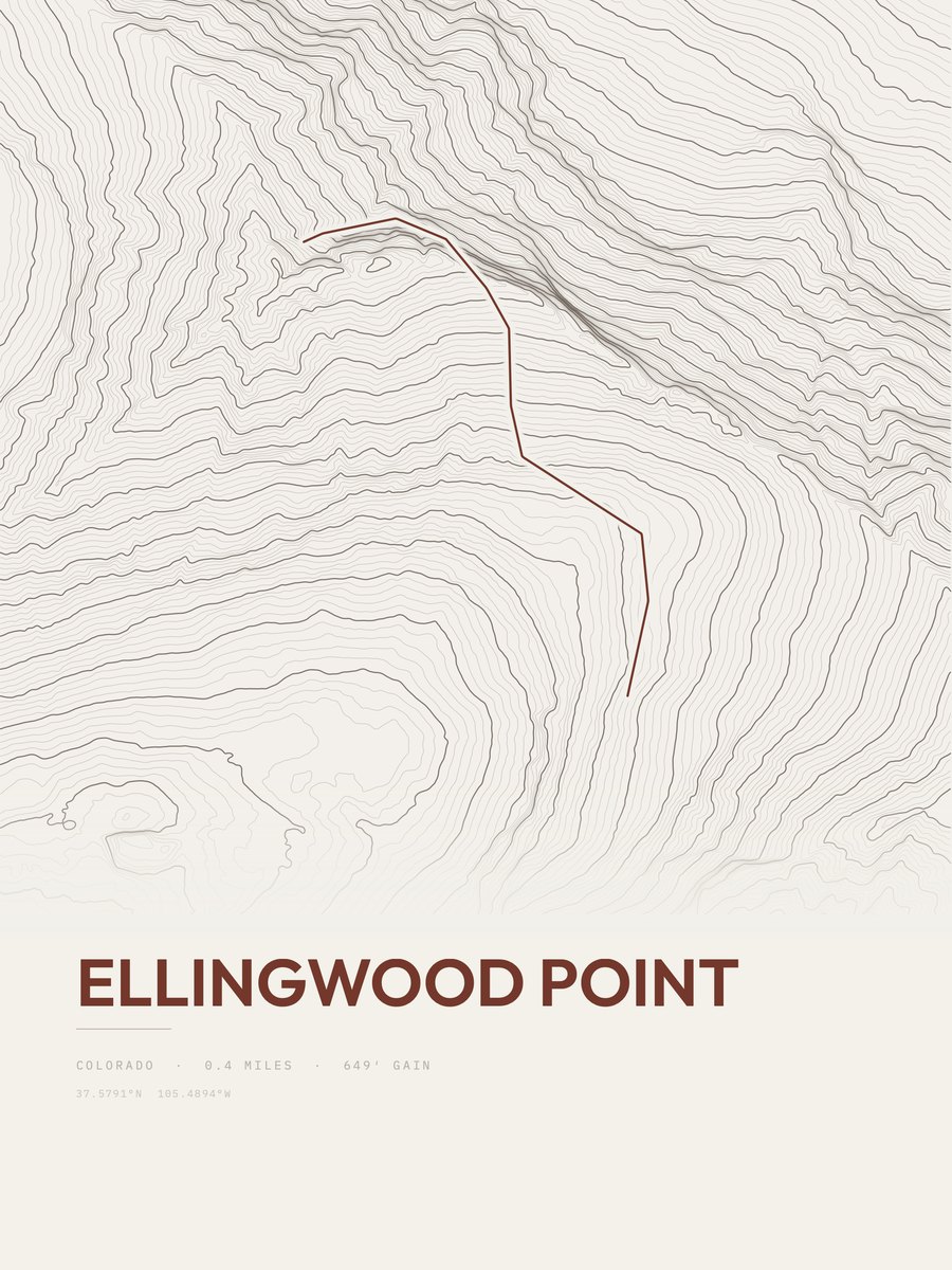
The Ellingwood Point route in Colorado measures 0.4 miles and gains 649 feet, with a low point of 13,398 feet and a high point of 14,048 feet. The steepest pitch reaches 61 percent, against an average of 1,622 feet of gain per mile. On our gain-and-distance scale it falls in the easiest band. The nearest town is Alamosa, about 22 miles away.
The trail
Ellingwood Point is a high mountain summit in the Sangre de Cristo Range of the Rocky Mountains of North America. The 14,054.9-foot (4, 284 m) fourteener is located on the Sierra Blanca Massif, 9.9 miles (16.0 km) north by east (bearing 7°) of the Town of Blanca, Colorado, United States, on the drainage divide separating the Rio Grande National Forest and Alamosa County from the San Isabel National Forest and Huerfano County.
Text: Wikipedia, CC BY-SA 4.0