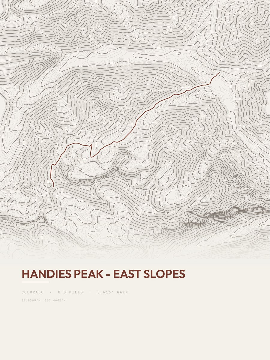














Handies Peak - East Slopes
The print
Printed to order at 300 DPI, rendered natively at your size and never upscaled. Print only; the frame in the photos is for scale.
Shipping & returns
Printed in 2 to 5 business days, then 3 to 5 in transit within the US, rolled in a sturdy tube. Free US shipping; outside the US, shipping is calculated at checkout. 14-day reprint-or-refund guarantee, any reason, no return shipping. You have 1 hour after checkout to change trail, style or size, just reply to your confirmation email. Full returns policy.
About the Handies Peak - East Slopes trail
3,616 feet of elevation gain over 8 miles: that is Handies Peak - East Slopes, an out-and-back in Southwest Rockies running between 10,408 and 14,025 feet. The steepest pitch reaches 62 percent, against an average of 452 feet of gain per mile. On our gain-and-distance scale it falls in the very strenuous band. The nearest town is Lake City, about 10 miles away.
The trail
Handies Peak is a high and prominent mountain summit of the San Juan Mountains range in the Rocky Mountains of North America. The 14,056-foot (4284.24 m) fourteener is located in the Bureau of Land Management Handies Peak Wilderness Study Area, 13.4 miles (21.5 km) southwest by west (bearing 232°) of the Town of Lake City in Hinsdale County, Colorado, United States.
Text: Wikipedia, CC BY-SA 4.0
Along the route
- Handies Peakmi 4.0
- Burrows Park Dispersed Campingmi 8.0
Places OpenStreetMap maps within 150 m of the route.
More trails in Southwest Rockies
Questions about the Handies Peak - East Slopes print
What sizes does the Handies Peak - East Slopes poster come in?
Is this made from real elevation data?
How hard is Handies Peak - East Slopes?
Place names along the route: © OpenStreetMap contributors, ODbL. Best months are an estimate from NASA POWER climate data (CC BY 4.0), 2001 to 2020 monthly averages adjusted to the trail's elevation, not an official season; check current conditions and closures.