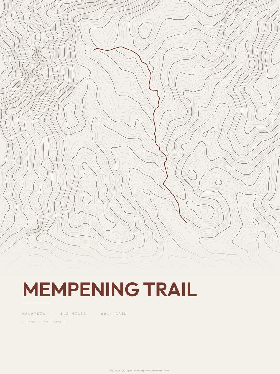














Mempening Trail
The print
Printed to order at 300 DPI, rendered natively at your size and never upscaled. Print only; the frame in the photos is for scale.
Shipping & returns
Printed in 2 to 5 business days, then 3 to 5 in transit within the US, rolled in a sturdy tube. Free US shipping; outside the US, shipping is calculated at checkout. 14-day reprint-or-refund guarantee, any reason, no return shipping. You have 1 hour after checkout to change trail, style or size, just reply to your confirmation email. Full returns policy.
About the Mempening Trail trail
The Mempening Trail route in Kinabalu Park measures 1.2 miles and gains 660 feet, with a low point of 5,039 feet and a high point of 5,699 feet. The steepest pitch reaches 19 percent, against an average of 550 feet of gain per mile. The 1.2 miles is the one-way distance of the drawn route. On our gain-and-distance scale it falls in the easiest band. The nearest town is Kampung Kundassang, about 3.5 miles away.
The area
Kinabalu Park (Malay: Taman Kinabalu), established as one of the first national parks of Malaysia in 1964, is Malaysia's first World Heritage Site designated by UNESCO in December 2000 for its "outstanding universal values" and the role as one of the most important biological sites in the world with more than 4,500 species of flora and fauna, including 326 bird and around 100 mammal species, and over 110 land snail species. Located on the west coast of Sabah, Malaysian Borneo, it covers an area of 754 square kilometres surrounding Mount Kinabalu, which at 4,095.2 meters, is the highest mountain on the island of Borneo.
Text: Wikipedia, CC BY-SA 4.0
Along the route
- Bungu Hillmi 0.0
- Botanical Gardenmi 0.2
- Tupai Hillmi 0.3
Places OpenStreetMap maps within 150 m of the route.
Questions about the Mempening Trail print
What sizes does the Mempening Trail poster come in?
Is this made from real elevation data?
How hard is Mempening Trail?
Trail geometry and place names for this print: Map data © OpenStreetMap contributors, ODbL. Elevation: AWS Terrain Tiles. The derived trail dataset is published at /open-data.