











Image 1 of 8
Trail print
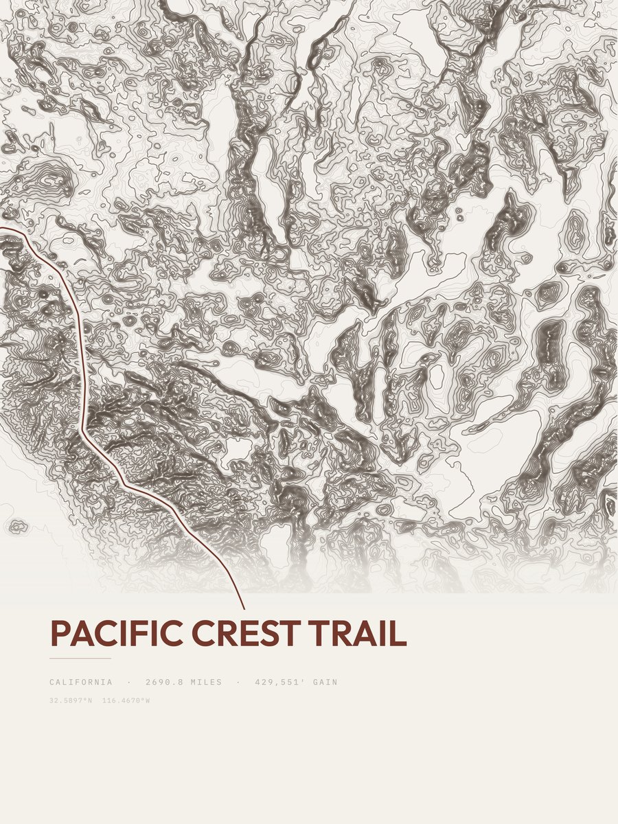
Pacific Crest Trail
$59
Drawn from this trail's real elevation data, printed to order.
StyleTopographic
Size 18×24″
Print only, rolled in a tube. Fits a standard 18×24″ frame.
Free US shipping · Made to order · at your door in 5 to 10 business days
The print
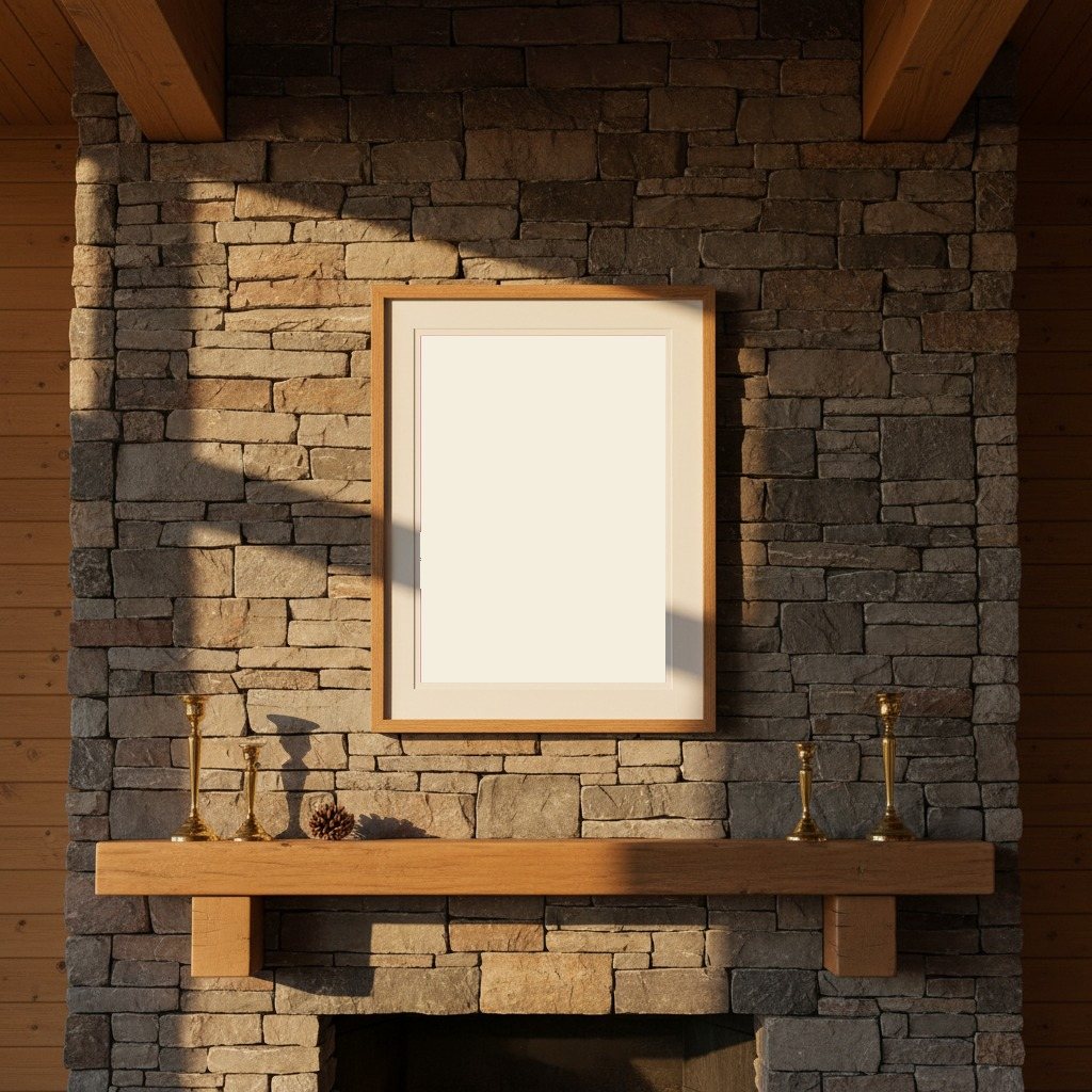
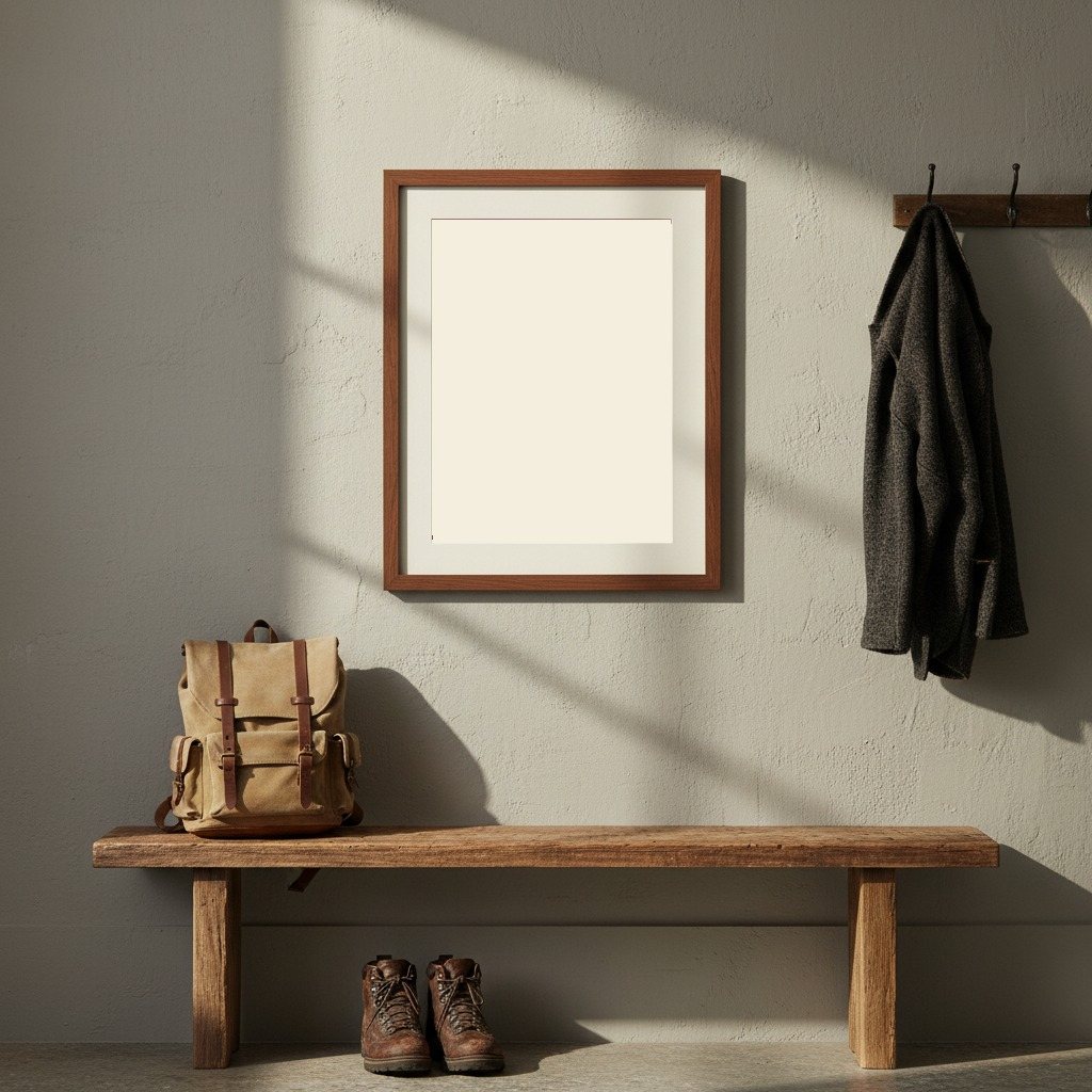
Printed to order at 300 DPI, rendered natively at your size and never upscaled. Print only; the frame in the photos is for scale.
Shipping & returns
Printed in 2 to 5 business days, then 3 to 5 in transit within the US, rolled in a sturdy tube. Free US shipping; outside the US, shipping is calculated at checkout. 14-day reprint-or-refund guarantee, any reason, no return shipping. You have 1 hour after checkout to change trail, style or size, just reply to your confirmation email. Full returns policy.
Pacific Crest Trail · Topographic · 18×24″
$59 5 to 10 business days