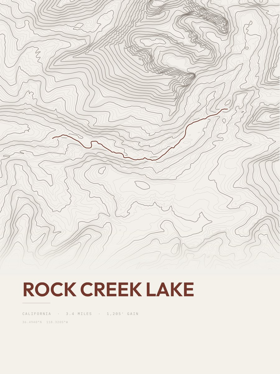












Rock Creek Lake
The print
Printed to order at 300 DPI, rendered natively at your size and never upscaled. Print only; the frame in the photos is for scale.
Shipping & returns
Printed in 2 to 5 business days, then 3 to 5 in transit within the US, rolled in a sturdy tube. Free US shipping; outside the US, shipping is calculated at checkout. 14-day reprint-or-refund guarantee, any reason, no return shipping. You have 1 hour after checkout to change trail, style or size, just reply to your confirmation email. Full returns policy.
About the Rock Creek Lake trail
The Rock Creek Lake route in Sequoia National Park measures 3.4 miles and gains 1,205 feet, with a low point of 9,943 feet and a high point of 10,993 feet. The steepest pitch reaches 32 percent, against an average of 354 feet of gain per mile. The 3.4 miles is the one-way distance of the drawn route. On our gain-and-distance scale it falls in the moderate band. The nearest town is Lone Pine, about 16 miles away.
The area
Sequoia National Park is a national park of the United States in the southern Sierra Nevada east of Visalia, California. The park was established on September 25, 1890, and today protects 404,064 acres (631 sq mi; 163, 519 ha; 1, 635 km2) of forested mountainous terrain.
Text: Wikipedia, CC BY-SA 4.0