The hardest hikes in Romania, by the numbers
Of the 40 trails in Romania in our dataset, 12 (30 percent) rate strenuous or very strenuous on the gain-and-distance scale we use and run 3 to 30 miles with at least 1,500 ft of climb; all 12 are listed here, highest rating first.
Hobița to Vârful Retezat leads with 7,208 ft of gain over 18.2 miles, 396 ft per mile, with a steepest pitch of 45 percent.
Across the 12, gain runs from 2,107 to 7,208 ft and distance from 4.3 miles to 22.3 miles; the median gain is 3,309 ft and the median distance 11.3 miles.
11 of the 12 are point-to-point routes; the rest are loop (1).
| # | Trail | Miles | Gain (ft) | Ft per mile | Max grade | Elevation (ft) | Rating | Profile |
|---|---|---|---|---|---|---|---|---|
| 1 | Hobița to Vârful RetezatRetezat NP | 18.2 | 7,208 | 396 | 45% | 1,743 to 8,232 | 512.2 | |
| 2 | Bucerdea Vinoasă to Cetea | 22.3 | 5,371 | 241 | 40% | 928 to 4,045 | 489.4 | |
| 3 | Răstolița-Curmătura Tihului | 14.7 | 3,841 | 261 | 29% | 1,711 to 4,986 | 336 | |
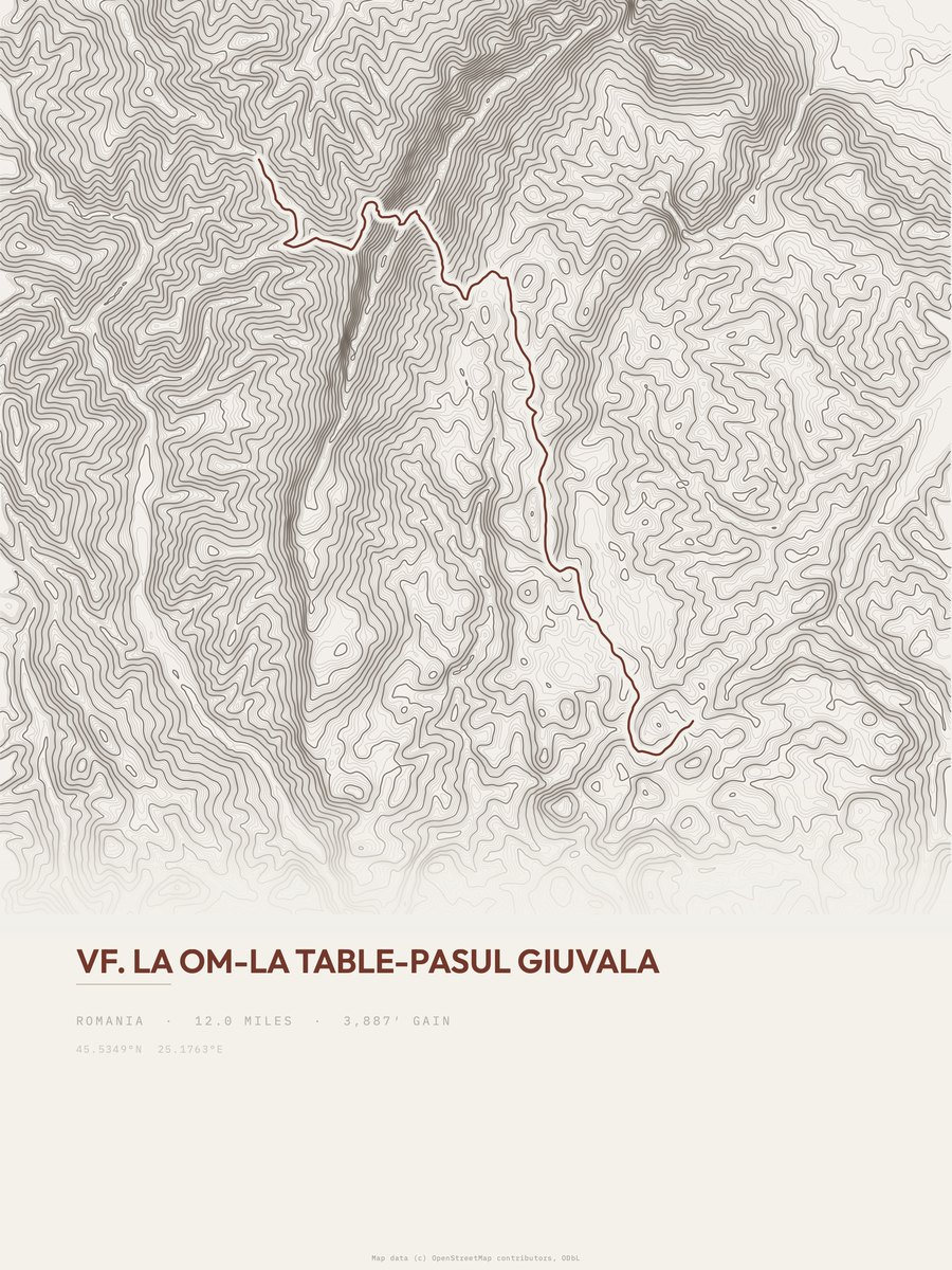
| 4 | Vf. La Om-La Table-Pasul GiuvalaPiatra Craiului NP | 12 | 3,887 | 324 | 83% | 3,730 to 7,343 | 305.4 | |
| 5 | Bistra Mureșului-Poiana Cofu | 12.8 | 3,525 | 275 | 24% | 1,593 to 5,106 | 300.4 | |
| 6 | Gălăoaia-Valea Bistrei | 12.1 | 3,076 | 254 | 49% | 1,613 to 4,707 | 272.8 | |
| 7 | Podul ȚăsneiDomogled-Valea Cernei NP | 10.7 | 3,211 | 300 | 47% | 909 to 3,030 | 262.1 | |
| 8 | Toplița-Vârful Bătrâna | 8.8 | 3,172 | 360 | 24% | 2,149 to 5,321 | 236.3 | |
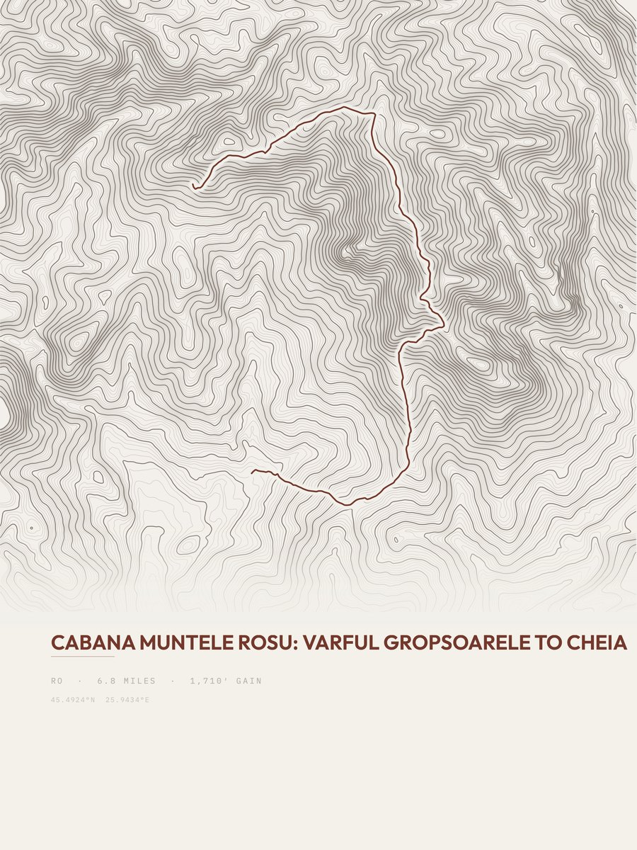
| 9 | Cabana Muntele Rosu | 6.8 | 3,227 | 475 | 51% | 3,054 to 6,089 | 209.5 | |
| 10 | Stânceni-Poiana Zebrac | 7 | 2,107 | 301 | 25% | 2,028 to 4,134 | 171.7 | |
| 11 | Boga-Piatra Bulzului-Traseul BR | 4.3 | 3,391 | 789 | 49% | 1,989 to 5,295 | 170.8 | |
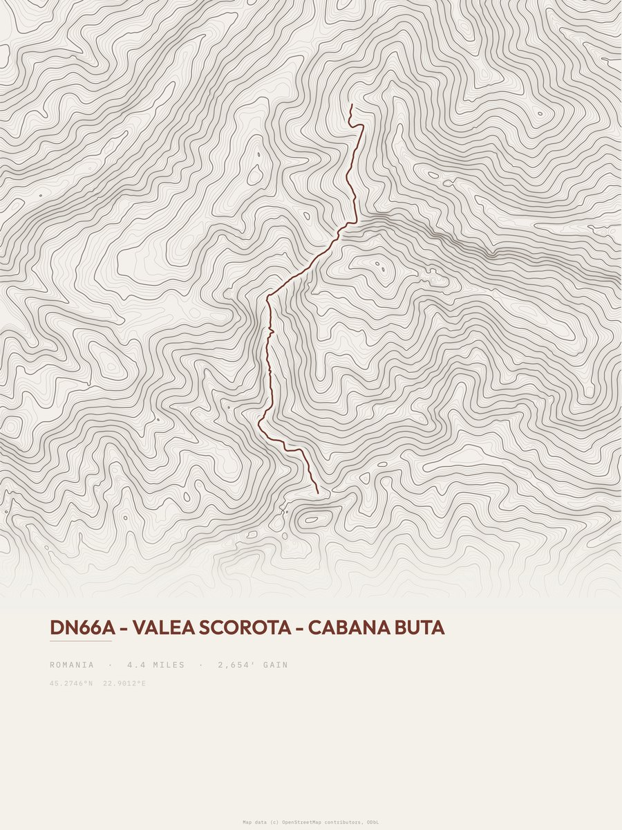
| 12 | Valea Scorota, Cabana ButaRetezat NP | 4.4 | 2,654 | 603 | 58% | 3,658 to 6,297 | 152.8 |






How this list is ranked
Rating = the square root of 2 x elevation gain (ft) x distance (miles), the gain-and-distance formula Shenandoah National Park publishes for its own trails. Bands: under 50 easiest, 50 to 100 moderate, 100 to 150 moderately strenuous, 150 to 200 strenuous, 200 and over very strenuous.
This list: band strenuous (150 to 200) or very strenuous (200 and over), 3 to 30 miles, at least 1,500 ft of gain, ordered by rating desc, gain per mile desc, capped at 25. The rating column is computed from the miles and gain printed in the same row, the numbers each trail page uses, so every row can be checked from the row itself. The rating says nothing about exposure, scrambling, altitude or conditions.
Only trails with a full page count, so "Romania" here means the 40 trails in Romania in our dataset, not every trail in Romania.
Each trail page shows the full elevation profile behind these numbers and the same data drawn as a topographic print, made to order. Start with Hobița to Vârful Retezat.
Hardest hikes elsewhere.
The same ranking for other countries in our dataset.