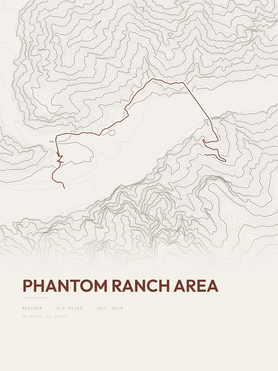













Phantom Ranch Area
The print
Printed to order at 300 DPI, rendered natively at your size and never upscaled. Print only; the frame in the photos is for scale.
Shipping & returns
Printed in 2 to 5 business days, then 3 to 5 in transit within the US, rolled in a sturdy tube. Free US shipping; outside the US, shipping is calculated at checkout. 14-day reprint-or-refund guarantee, any reason, no return shipping. You have 1 hour after checkout to change trail, style or size, just reply to your confirmation email. Full returns policy.
About the Phantom Ranch Area trail
The Phantom Ranch Area route in Grand Canyon National Park measures 0.8 miles and gains 363 feet, with a low point of 2,426 feet and a high point of 2,695 feet. The steepest pitch reaches 19 percent, against an average of 454 feet of gain per mile. The 0.8 miles is the one-way distance of the drawn route. On our gain-and-distance scale it falls in the easiest band. The nearest town is Grand Canyon, about 4.2 miles away.
The trail
Phantom Ranch is a lodge inside Grand Canyon National Park in Arizona. It sits at the bottom of Grand Canyon, on the east side of Bright Angel Creek, a little over half a mile north of the Creek's confluence with the Colorado River.
Text: Wikipedia, CC BY-SA 4.0