The hardest hikes in California, by the numbers
Of the 1,343 trails in California in our dataset, 256 (19 percent) rate strenuous or very strenuous on the gain-and-distance scale we use and run 3 to 30 miles with at least 1,500 ft of climb; these are the 25 with the highest rating.
Elizabeth Pass South leads with 13,051 ft of gain over 24.5 miles, 533 ft per mile, with a steepest pitch of 55 percent.
Across the 25, gain runs from 4,032 to 13,051 ft and distance from 13.8 miles to 29 miles; the median gain is 5,782 ft and the median distance 20.2 miles.
17 of the 25 are point-to-point routes; the rest are loop (4) or out-and-back (4).
| # | Trail | Miles | Gain (ft) | Ft per mile | Max grade | Elevation (ft) | Rating | Profile |
|---|---|---|---|---|---|---|---|---|
| 1 | Elizabeth Pass SouthSequoia NP | 24.5 | 13,051 | 533 | 55% | 7,077 to 12,103 | 799.7 | |
| 2 | Mineral King LoopSequoia NP | 25.6 | 9,101 | 356 | 56% | 7,069 to 11,679 | 682.6 | |
| 3 | Kennedy Canyon TrailKings Canyon NP | 20.5 | 8,606 | 420 | 50% | 4,561 to 10,747 | 594 | |
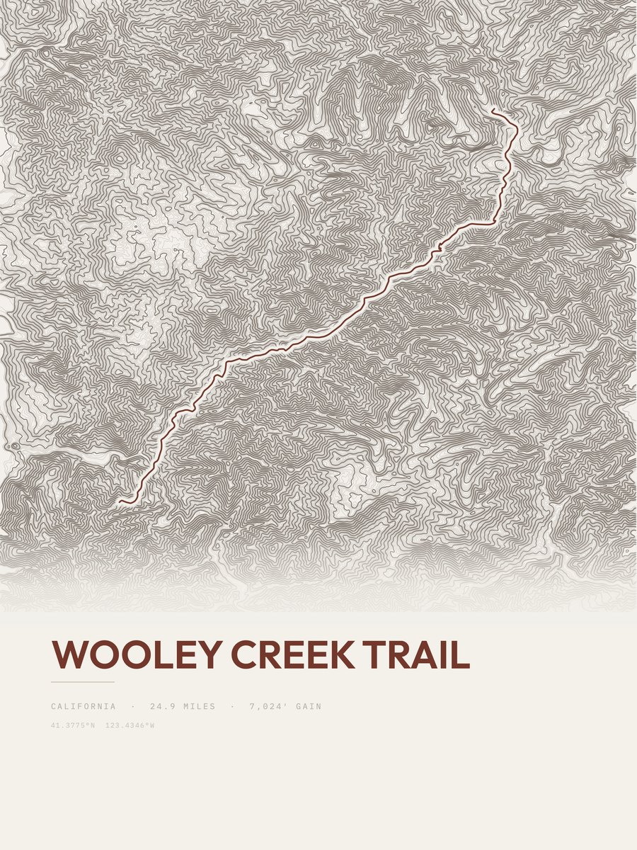
| 4 | Wooley Creek TrailShasta and Cascades | 24.9 | 7,024 | 282 | 28% | 746 to 5,675 | 591.4 | |
| 5 | Hetch Hetchy LoopYosemite NP | 27.7 | 5,499 | 199 | 52% | 3,777 to 7,615 | 551.9 | |
| 6 | Happy Isles to Tuolomne MeadowsYosemite NP | 22.5 | 6,717 | 299 | 46% | 4,055 to 9,915 | 549.8 | |
| 7 | Cactus to CloudsDeserts | 14.4 | 10,444 | 725 | 32% | 479 to 10,751 | 548.4 | |
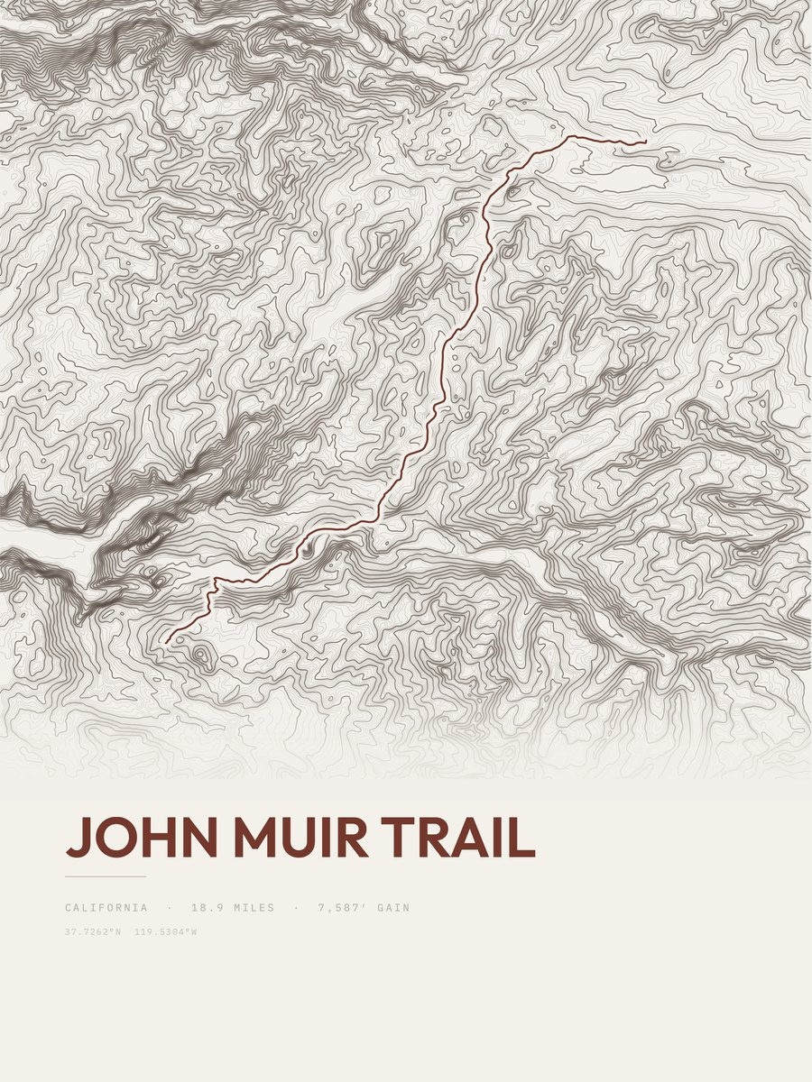
| 8 | John Muir TrailYosemite NP | 18.9 | 7,587 | 401 | 58% | 6,112 to 10,311 | 535.5 | |
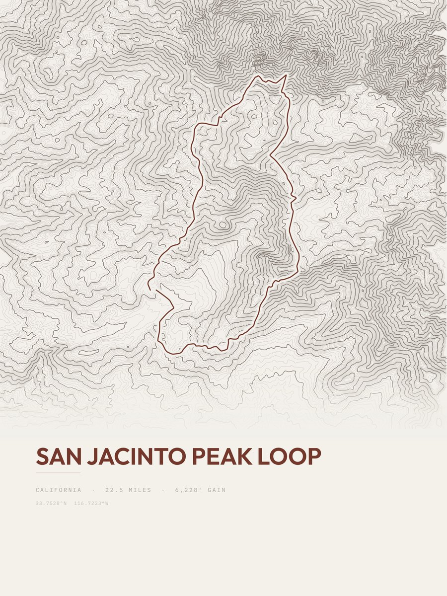
| 9 | San Jacinto Peak LoopSouthern California | 22.5 | 6,228 | 277 | 43% | 5,269 to 10,547 | 529.4 | |
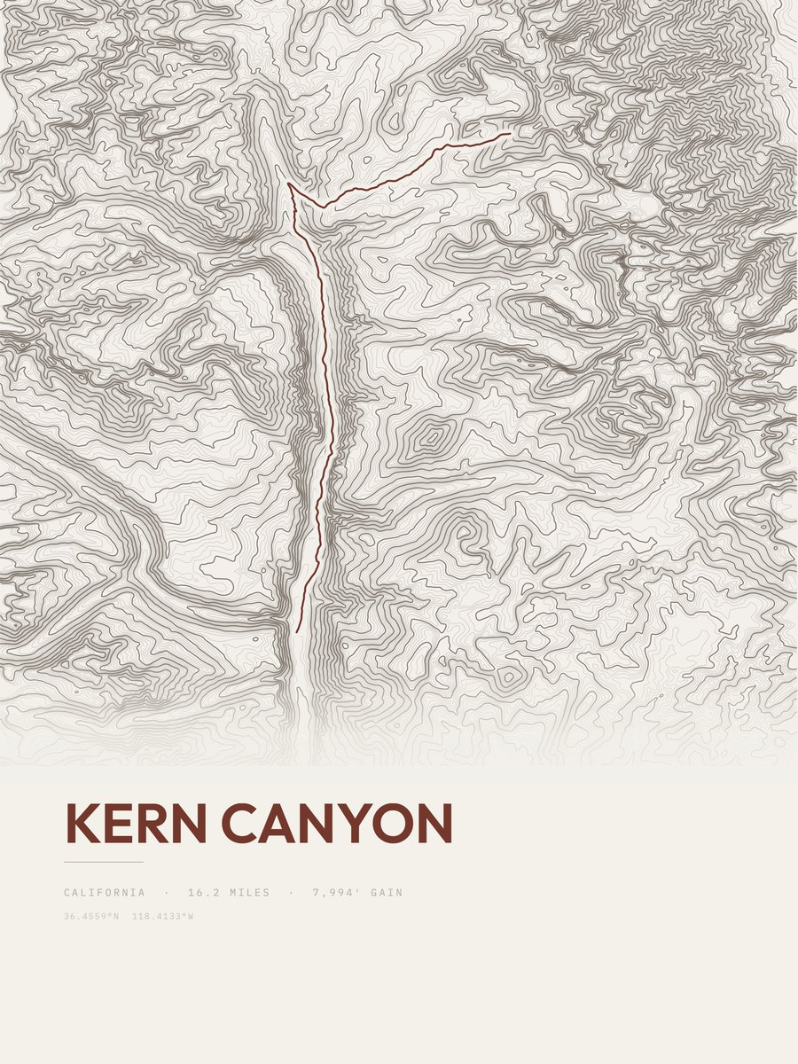
| 10 | Kern CanyonSequoia NP | 16.2 | 7,994 | 493 | 60% | 6,633 to 12,872 | 508.9 | |
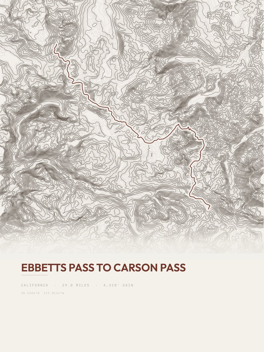
| 11 | Ebbetts Pass to Carson PassHigh Sierra | 29 | 4,310 | 149 | 31% | 7,769 to 9,121 | 500 | |
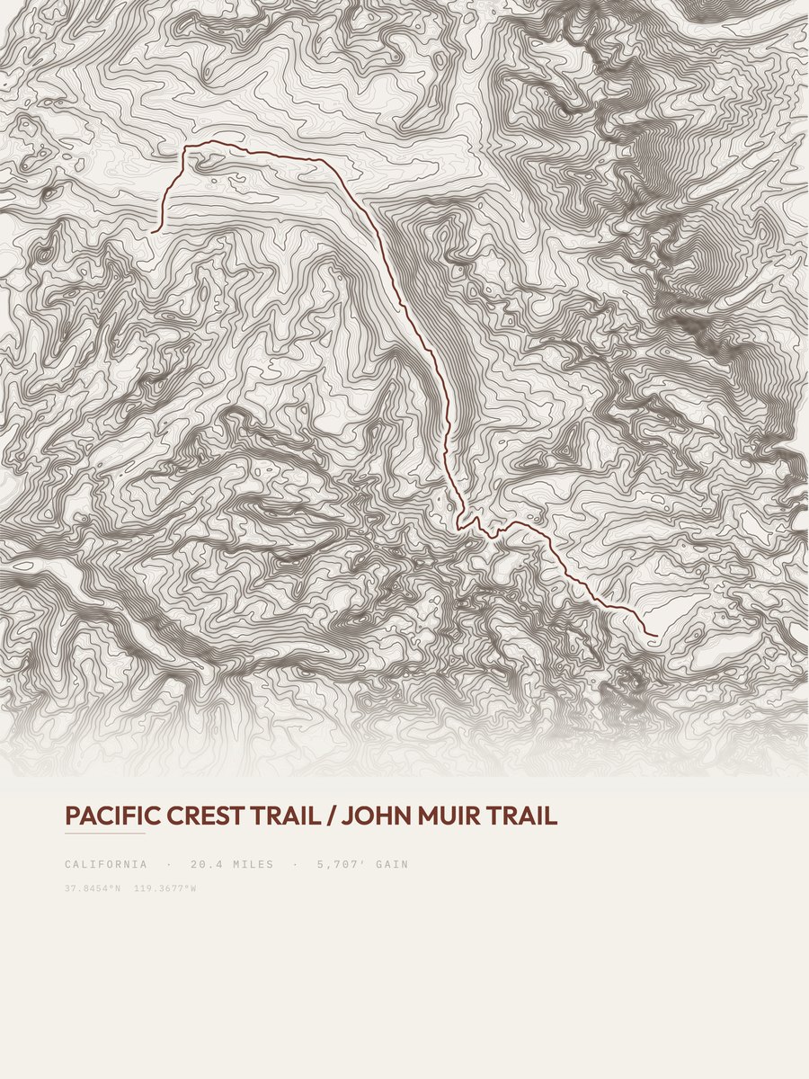
| 12 | Pacific Crest TrailYosemite NP | 20.4 | 5,707 | 280 | 48% | 8,578 to 11,660 | 482.5 | |
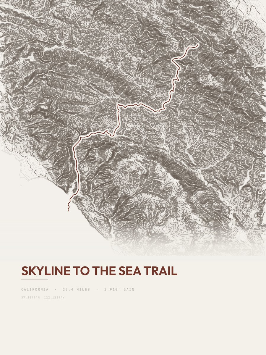
| 13 | Skyline to the Sea TrailBay Area | 25.4 | 4,515 | 178 | 27% | 16 to 2,623 | 478.9 | |
| 14 | Cottonwood / Marble Canyon LoopDeath Valley NP | 26.8 | 4,032 | 150 | 37% | 1,177 to 4,953 | 464.9 | |
| 15 | Happy Isles to Clouds RestYosemite NP | 18.3 | 5,782 | 316 | 62% | 4,047 to 9,729 | 460 | |
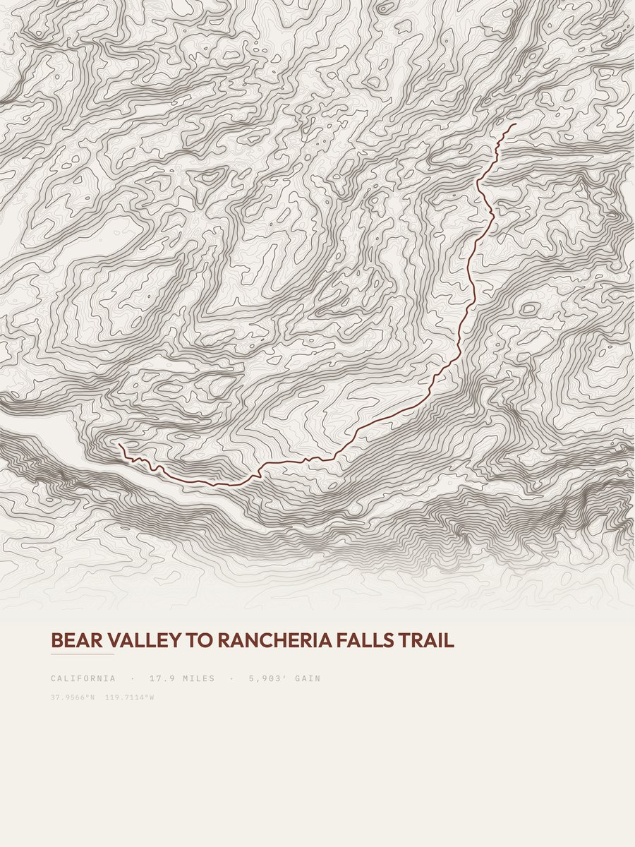
| 16 | Rancheria Falls TrailYosemite NP | 17.9 | 5,903 | 330 | 40% | 4,655 to 9,477 | 459.7 | |
| 17 | South Fork KaweahSequoia NP | 16.4 | 6,341 | 387 | 47% | 3,677 to 9,504 | 456.1 | |
| 18 | Middle Fork TrailKings Canyon NP | 24.2 | 4,288 | 177 | 70% | 4,126 to 8,057 | 455.6 | |
| 19 | Shepherd Pass TrailSequoia NP | 13.8 | 6,910 | 501 | 50% | 5,697 to 12,021 | 436.7 | |
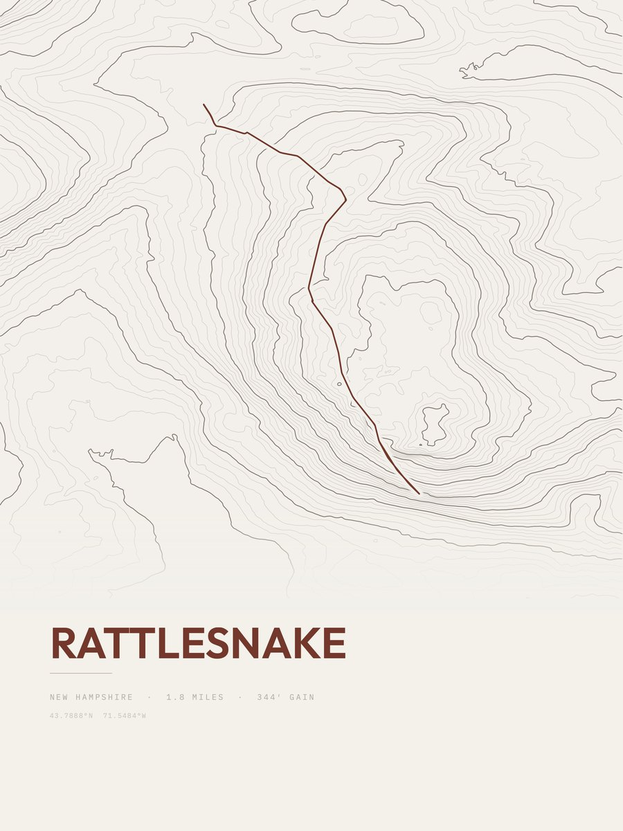
| 20 | RattlesnakeSequoia NP | 17.2 | 5,333 | 310 | 46% | 6,588 to 11,823 | 428.3 | |
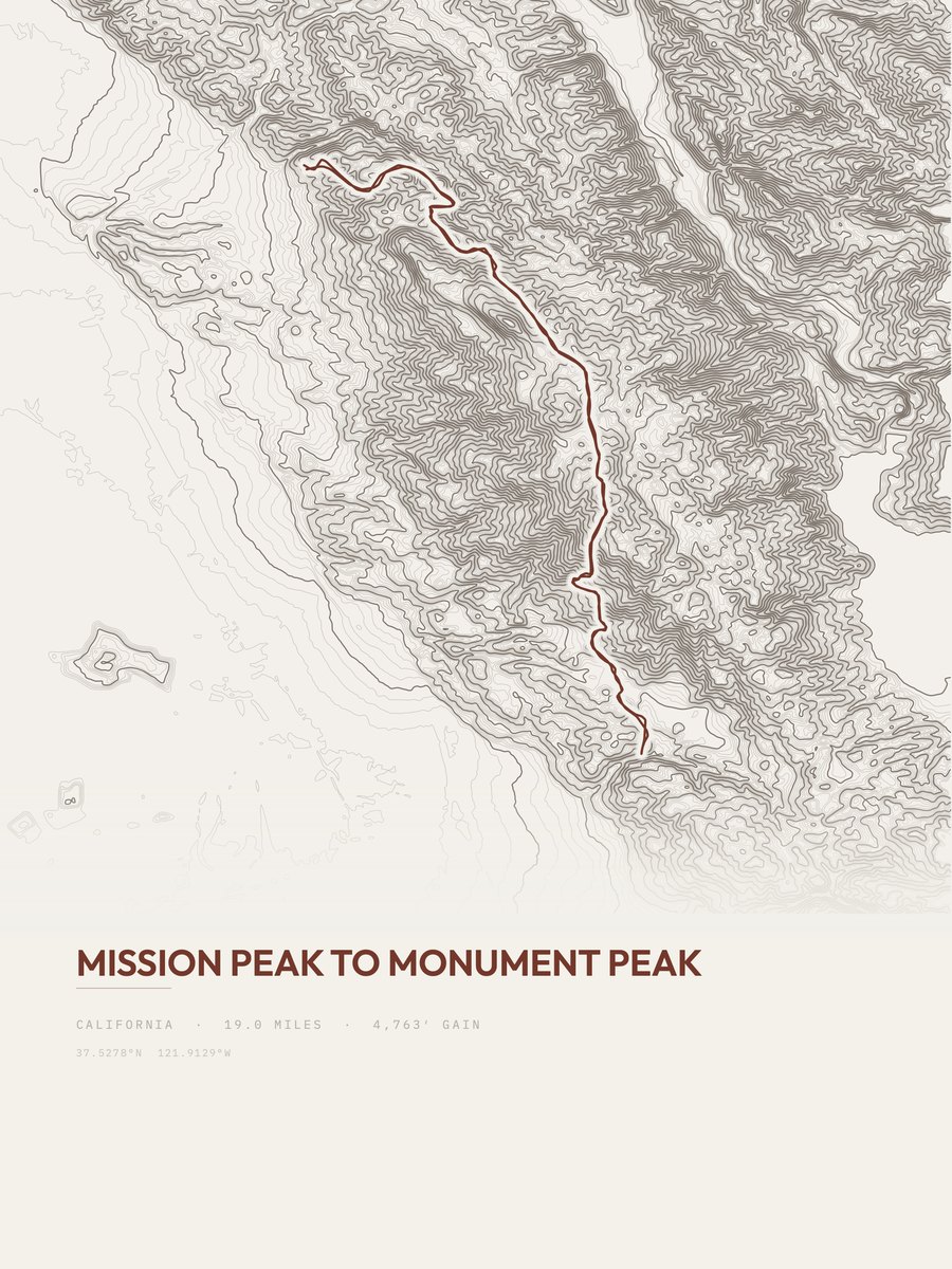
| 21 | Mission Peak to Monument PeakBay Area | 19 | 4,763 | 251 | 55% | 428 to 2,580 | 425.4 | |
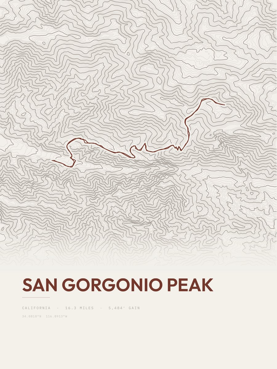
| 22 | San Gorgonio PeakSouthern California | 16.3 | 5,484 | 336 | 56% | 6,091 to 11,492 | 422.8 | |
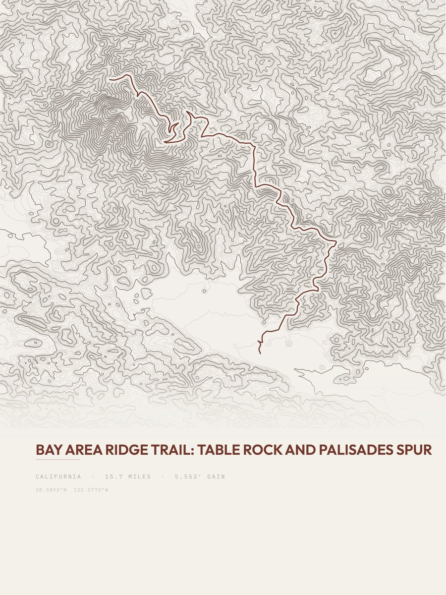
| 23 | Bay Area Ridge TrailBay Area | 15.7 | 5,552 | 354 | 33% | 398 to 4,309 | 417.5 | |
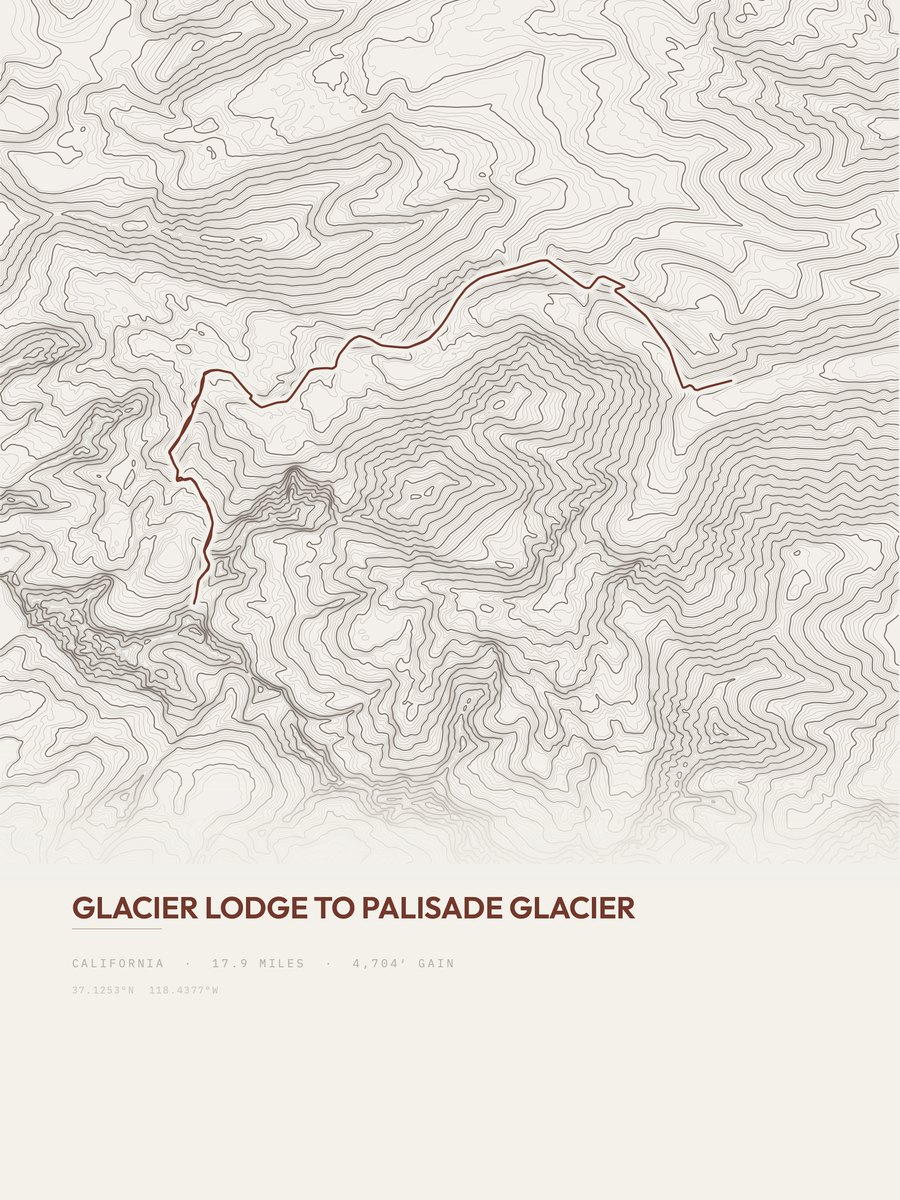
| 24 | Palisade GlacierHigh Sierra | 17.9 | 4,704 | 263 | 51% | 7,820 to 12,419 | 410.4 | |
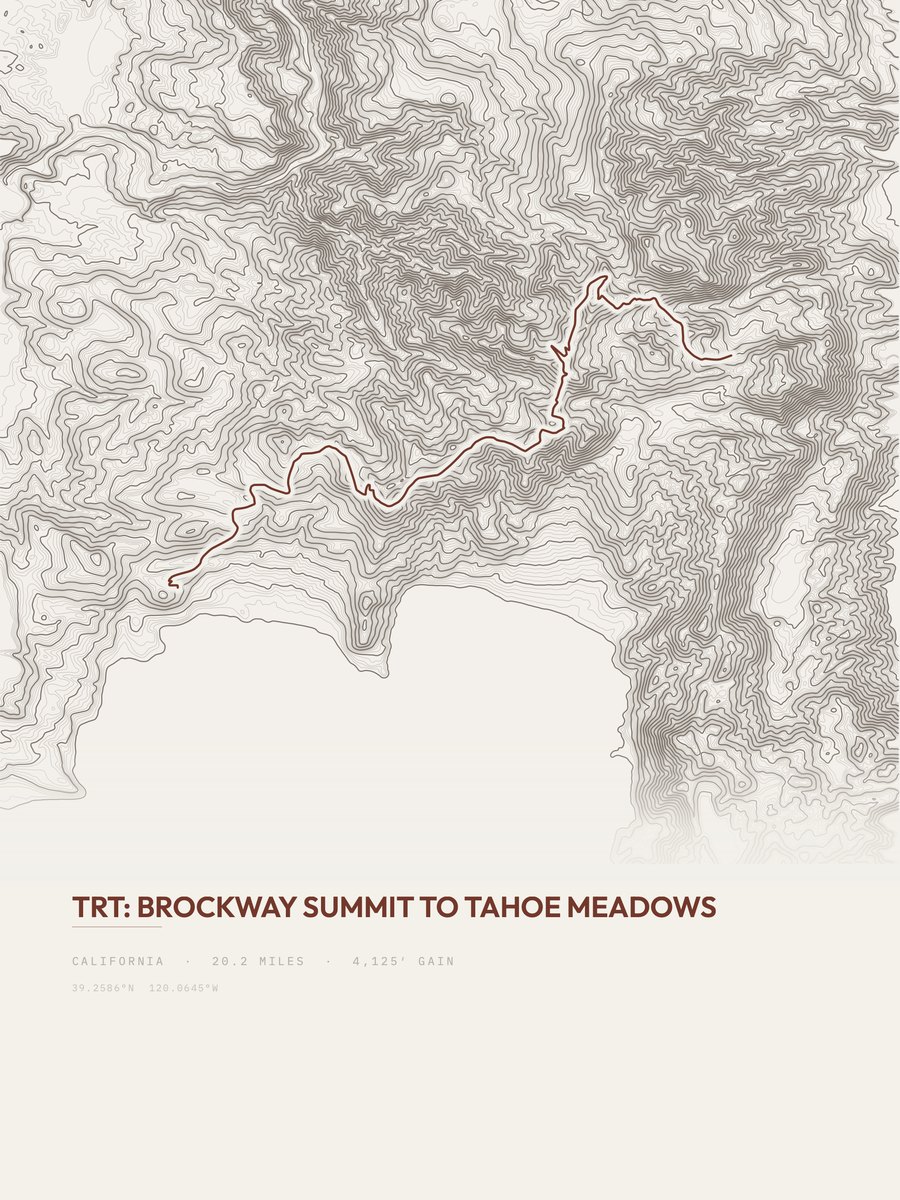
| 25 | Brockway Summit to Tahoe MeadowsHigh Sierra | 20.2 | 4,125 | 204 | 23% | 7,036 to 10,277 | 408.2 |








How this list is ranked
Rating = the square root of 2 x elevation gain (ft) x distance (miles), the gain-and-distance formula Shenandoah National Park publishes for its own trails. Bands: under 50 easiest, 50 to 100 moderate, 100 to 150 moderately strenuous, 150 to 200 strenuous, 200 and over very strenuous.
This list: band strenuous (150 to 200) or very strenuous (200 and over), 3 to 30 miles, at least 1,500 ft of gain, ordered by rating desc, gain per mile desc, capped at 25. The rating column is computed from the miles and gain printed in the same row, the numbers each trail page uses, so every row can be checked from the row itself. The rating says nothing about exposure, scrambling, altitude or conditions.
Only trails with a full page count, so "California" here means the 1,343 trails in California in our dataset, not every trail in California.
Each trail page shows the full elevation profile behind these numbers and the same data drawn as a topographic print, made to order. Start with Elizabeth Pass South.
Hardest hikes elsewhere.
The same ranking for other states in our dataset.