The hardest hikes in Oregon, by the numbers
Of the 201 trails in Oregon in our dataset, 38 (19 percent) rate strenuous or very strenuous on the gain-and-distance scale we use and run 3 to 30 miles with at least 1,500 ft of climb; these are the 25 with the highest rating.
Timberline Trail leads with 6,826 ft of gain over 28.9 miles, 236 ft per mile, with a steepest pitch of 26 percent.
Across the 25, gain runs from 1,593 to 6,826 ft and distance from 6.7 miles to 28.9 miles; the median gain is 3,145 ft and the median distance 12 miles.
15 of the 25 are point-to-point routes; the rest are loop (5) or out-and-back (5).
| # | Trail | Miles | Gain (ft) | Ft per mile | Max grade | Elevation (ft) | Rating | Profile |
|---|---|---|---|---|---|---|---|---|
| 1 | Timberline TrailPortland Metro and Mt. Hood | 28.9 | 6,826 | 236 | 26% | 3,348 to 7,335 | 628.1 | |
| 2 | Illinois River TrailOregon Coast | 28.6 | 6,490 | 227 | 55% | 261 to 3,866 | 609.3 | |
| 3 | Broken Top LoopCentral Oregon | 23.5 | 3,521 | 150 | 22% | 6,015 to 8,332 | 406.8 | |
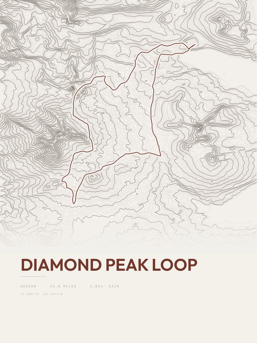
| 4 | Diamond Peak LoopCentral Oregon | 24.8 | 2,816 | 114 | 15% | 4,822 to 7,039 | 373.7 | |
| 5 | Zigzag Mountain TrailPortland Metro and Mt. Hood | 12.6 | 5,393 | 428 | 48% | 1,547 to 5,072 | 368.7 | |
| 6 | Eagle Creek TrailColumbia Gorge | 12.9 | 3,935 | 305 | 34% | 126 to 3,743 | 318.6 | |
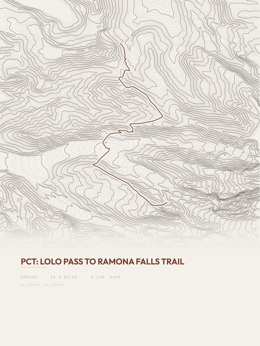
| 7 | Lolo Pass to Ramona Falls TrailPortland Metro and Mt. Hood | 15.6 | 3,170 | 203 | 31% | 2,789 to 4,336 | 314.5 | |
| 8 | Herman Creek TrailColumbia Gorge | 10.5 | 4,298 | 409 | 31% | 222 to 4,320 | 300.4 | |
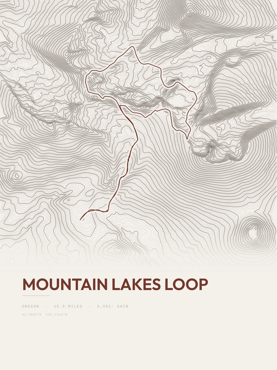
| 9 | Mountain Lakes LoopSouthwest Oregon | 15.5 | 2,901 | 187 | 27% | 5,758 to 7,571 | 299.9 | |
| 10 | Black Canyon TrailCentral Oregon | 12 | 3,722 | 310 | 24% | 2,851 to 6,344 | 298.9 | |
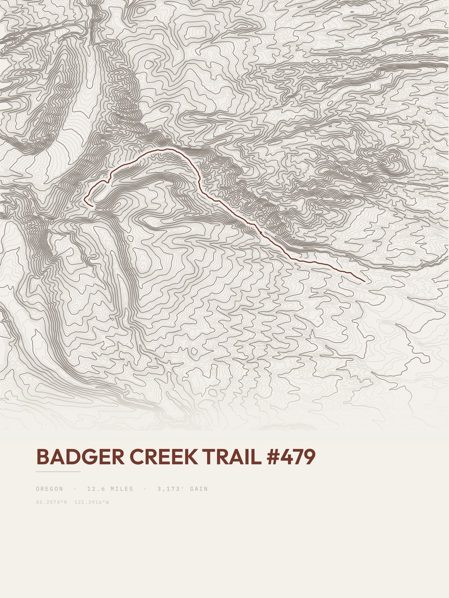
| 11 | Badger Creek TrailPortland Metro and Mt. Hood | 12.6 | 3,173 | 252 | 20% | 2,170 to 5,207 | 282.8 | |
| 12 | Ice Lake TrailNortheastern Oregon | 7.8 | 4,658 | 597 | 36% | 5,504 to 9,773 | 269.6 | |
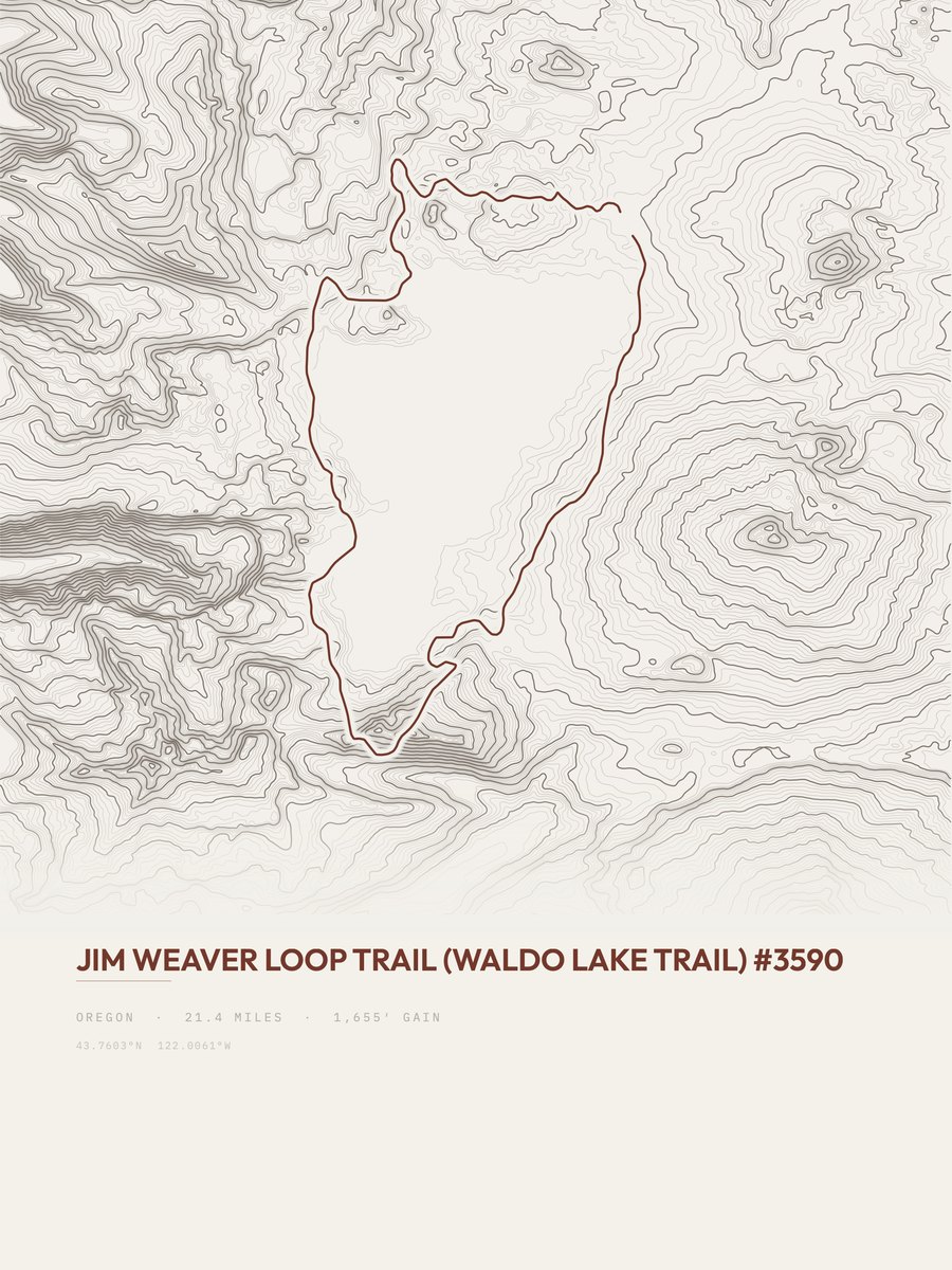
| 13 | Jim Weaver Loop TrailCentral Oregon | 21.4 | 1,655 | 77 | 14% | 5,417 to 5,757 | 266.1 | |
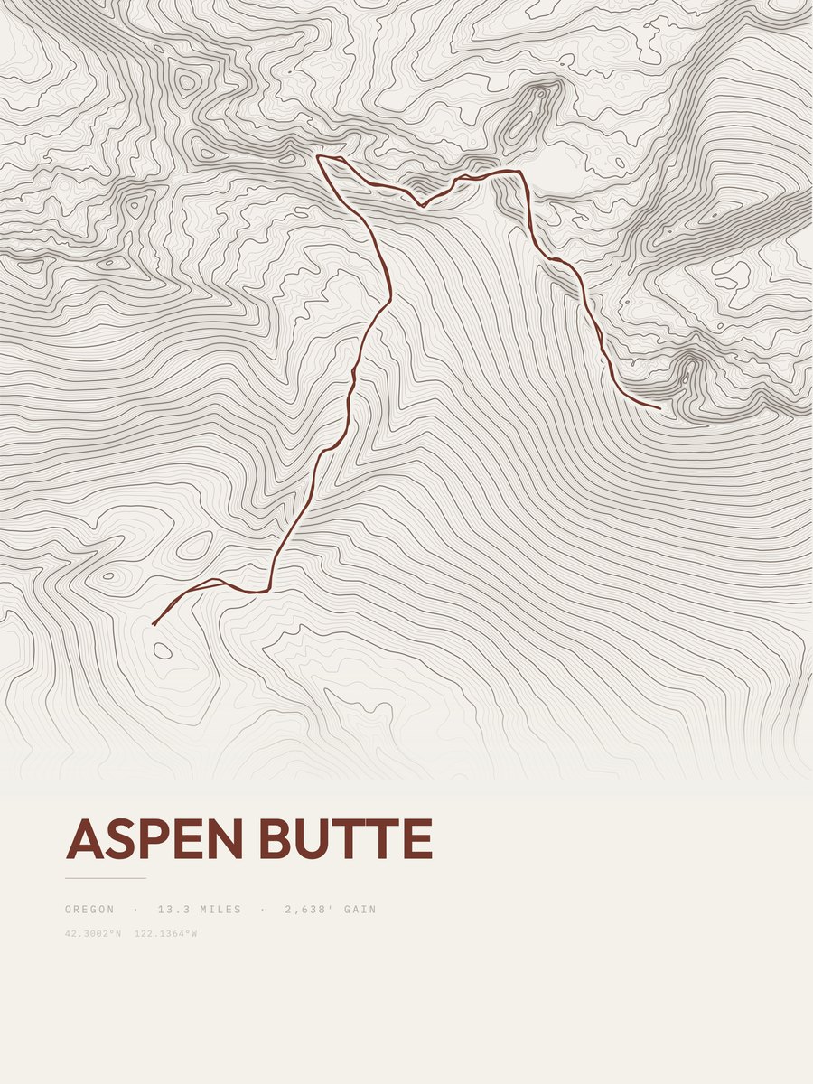
| 14 | Aspen ButteSouthwest Oregon | 13.3 | 2,638 | 198 | 35% | 5,758 to 8,196 | 264.9 | |
| 15 | Mount Defiance TrailColumbia Gorge | 7 | 4,839 | 691 | 38% | 111 to 4,940 | 260.3 | |
| 16 | French Pete TrailCentral Oregon | 9.9 | 3,145 | 318 | 30% | 1,808 to 4,536 | 249.5 | |
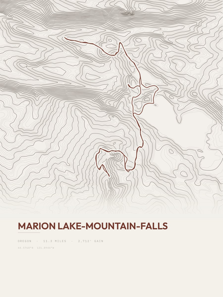
| 17 | Marion Lake-Mountain-FallsCentral Oregon | 11.3 | 2,712 | 240 | 37% | 3,373 to 5,303 | 247.6 | |
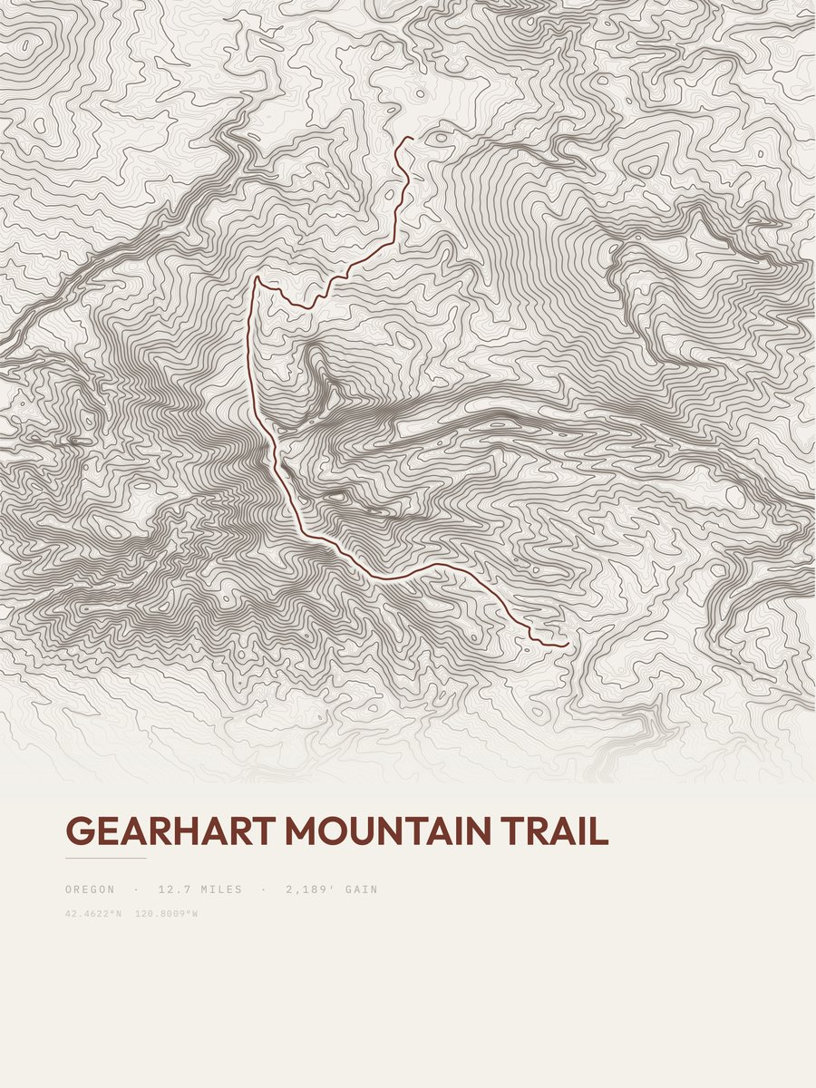
| 18 | Gearhart Mountain TrailSouth Central/Southeast Oregon | 12.7 | 2,189 | 172 | 21% | 6,329 to 8,116 | 235.8 | |
| 19 | Larch Mountain TrailColumbia Gorge | 6.7 | 3,903 | 583 | 39% | 58 to 3,912 | 228.7 | |
| 20 | Diamond Peak TrailCentral Oregon | 9.8 | 2,615 | 267 | 34% | 4,631 to 6,021 | 226.4 | |
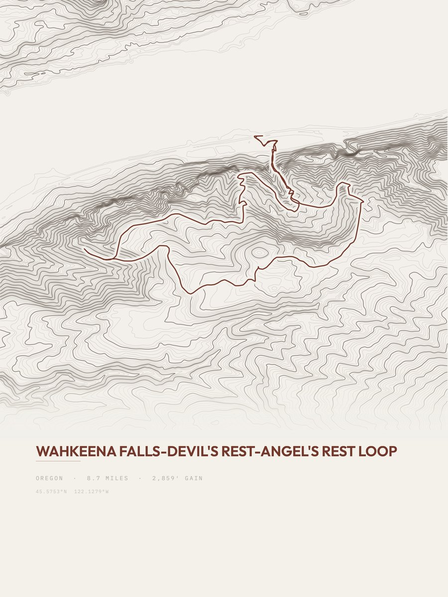
| 21 | Wahkeena Falls LoopColumbia Gorge | 8.7 | 2,859 | 329 | 67% | 130 to 2,451 | 223 | |
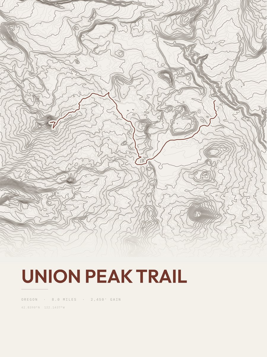
| 22 | Union Peak TrailCrater Lake NP | 8 | 2,450 | 306 | 43% | 5,812 to 7,528 | 198 | |
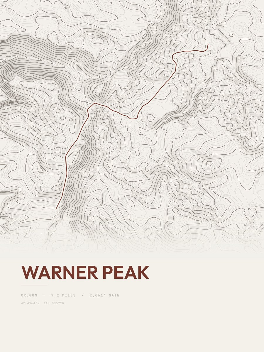
| 23 | Warner PeakSouth Central/Southeast Oregon | 9.2 | 2,061 | 224 | 20% | 6,032 to 7,864 | 194.7 | |
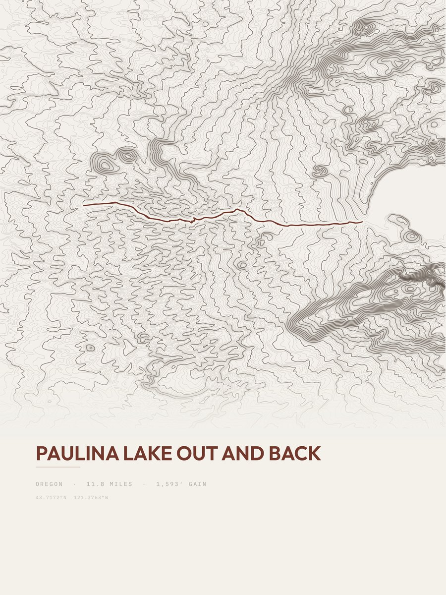
| 24 | Paulina LakeCentral Oregon | 11.8 | 1,593 | 135 | 17% | 4,775 to 6,344 | 193.9 | |
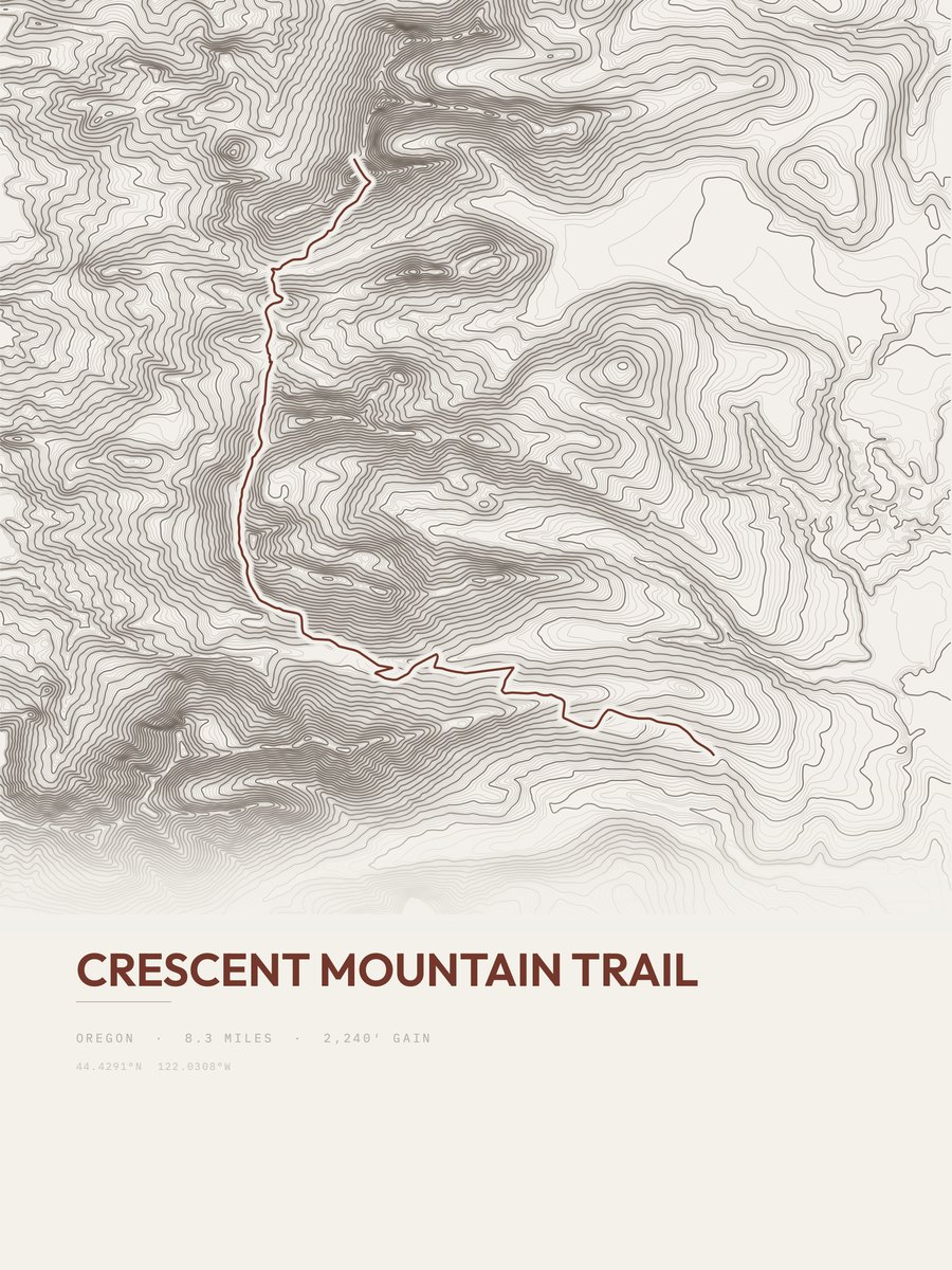
| 25 | Crescent Mountain TrailCentral Oregon | 8.3 | 2,240 | 270 | 33% | 3,657 to 5,612 | 192.8 |











How this list is ranked
Rating = the square root of 2 x elevation gain (ft) x distance (miles), the gain-and-distance formula Shenandoah National Park publishes for its own trails. Bands: under 50 easiest, 50 to 100 moderate, 100 to 150 moderately strenuous, 150 to 200 strenuous, 200 and over very strenuous.
This list: band strenuous (150 to 200) or very strenuous (200 and over), 3 to 30 miles, at least 1,500 ft of gain, ordered by rating desc, gain per mile desc, capped at 25. The rating column is computed from the miles and gain printed in the same row, the numbers each trail page uses, so every row can be checked from the row itself. The rating says nothing about exposure, scrambling, altitude or conditions.
Only trails with a full page count, so "Oregon" here means the 201 trails in Oregon in our dataset, not every trail in Oregon.
Each trail page shows the full elevation profile behind these numbers and the same data drawn as a topographic print, made to order. Start with Timberline Trail.
Hardest hikes elsewhere.
The same ranking for other states in our dataset.