The hardest hikes in Arizona, by the numbers
Of the 323 trails in Arizona in our dataset, 71 (22 percent) rate strenuous or very strenuous on the gain-and-distance scale we use and run 3 to 30 miles with at least 1,500 ft of climb; these are the 25 with the highest rating.
North Canyon leads with 12,314 ft of gain over 23.1 miles, 533 ft per mile.
Across the 25, gain runs from 2,346 to 12,314 ft and distance from 7.1 miles to 23.6 miles; the median gain is 5,510 ft and the median distance 12.1 miles.
18 of the 25 are point-to-point routes; the rest are loop (2) or out-and-back (3).
| # | Trail | Miles | Gain (ft) | Ft per mile | Max grade | Elevation (ft) | Rating | Profile |
|---|---|---|---|---|---|---|---|---|
| 1 | North CanyonGrand Canyon NP | 23.1 | 12,314 | 533 | 5,033 to 9,189 | 754.3 | ||
| 2 | EscalanteGrand Canyon NP | 18.9 | 10,013 | 530 | 92% | 2,628 to 7,385 | 615.2 | |
| 3 | Saddle MountainGrand Canyon NP | 11 | 11,675 | 1,061 | 2,866 to 8,555 | 506.8 | ||
| 4 | East TontoGrand Canyon NP | 12.3 | 9,568 | 778 | 2,537 to 7,056 | 485.2 | ||
| 5 | South Kaibab / Bright Angel LoopGrand Canyon NP | 21.6 | 4,968 | 230 | 42% | 2,455 to 7,200 | 463.3 | |
| 6 | West TontoGrand Canyon NP | 10.3 | 10,025 | 973 | 2,338 to 6,466 | 454.4 | ||
| 7 | East TontoGrand Canyon NP | 23.6 | 4,297 | 182 | 75% | 3,520 to 7,212 | 450.4 | |
| 8 | Cape SolitudeGrand Canyon NP | 15.3 | 6,397 | 418 | 2,718 to 7,257 | 442.4 | ||
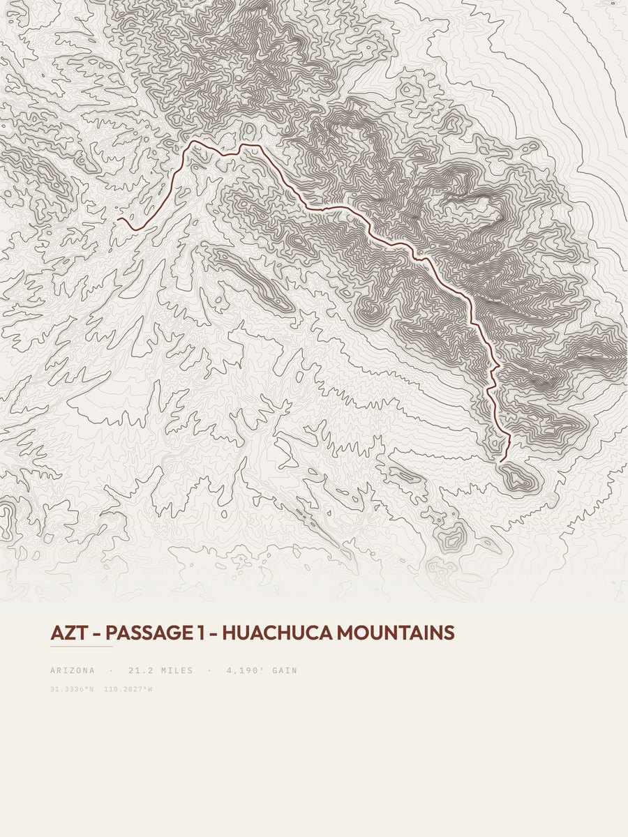
| 9 | Huachuca MountainsSouthern Arizona and Tucson | 21.2 | 4,190 | 198 | 35% | 5,527 to 9,072 | 421.5 | |
| 10 | North BassGrand Canyon NP | 11.9 | 6,300 | 529 | 71% | 2,233 to 7,503 | 387.2 | |
| 11 | Bright Angel TrailGrand Canyon NP | 16 | 4,366 | 273 | 38% | 2,458 to 6,825 | 373.8 | |
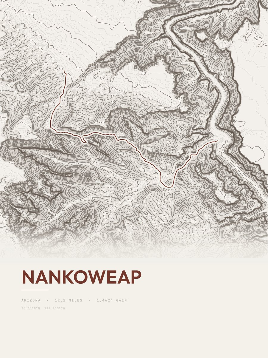
| 12 | NankoweapFlagstaff and Northern AZ | 12.1 | 5,357 | 443 | 45% | 2,875 to 7,568 | 360.1 | |
| 13 | Rincon Peak TrailSaguaro NP | 10.7 | 6,042 | 565 | 54% | 3,328 to 8,264 | 359.6 | |
| 14 | West TontoGrand Canyon NP | 11.5 | 5,544 | 482 | 98% | 2,157 to 3,531 | 357.1 | |
| 15 | Rincon PeakSaguaro NP | 14.4 | 4,288 | 298 | 58% | 4,214 to 8,376 | 351.4 | |
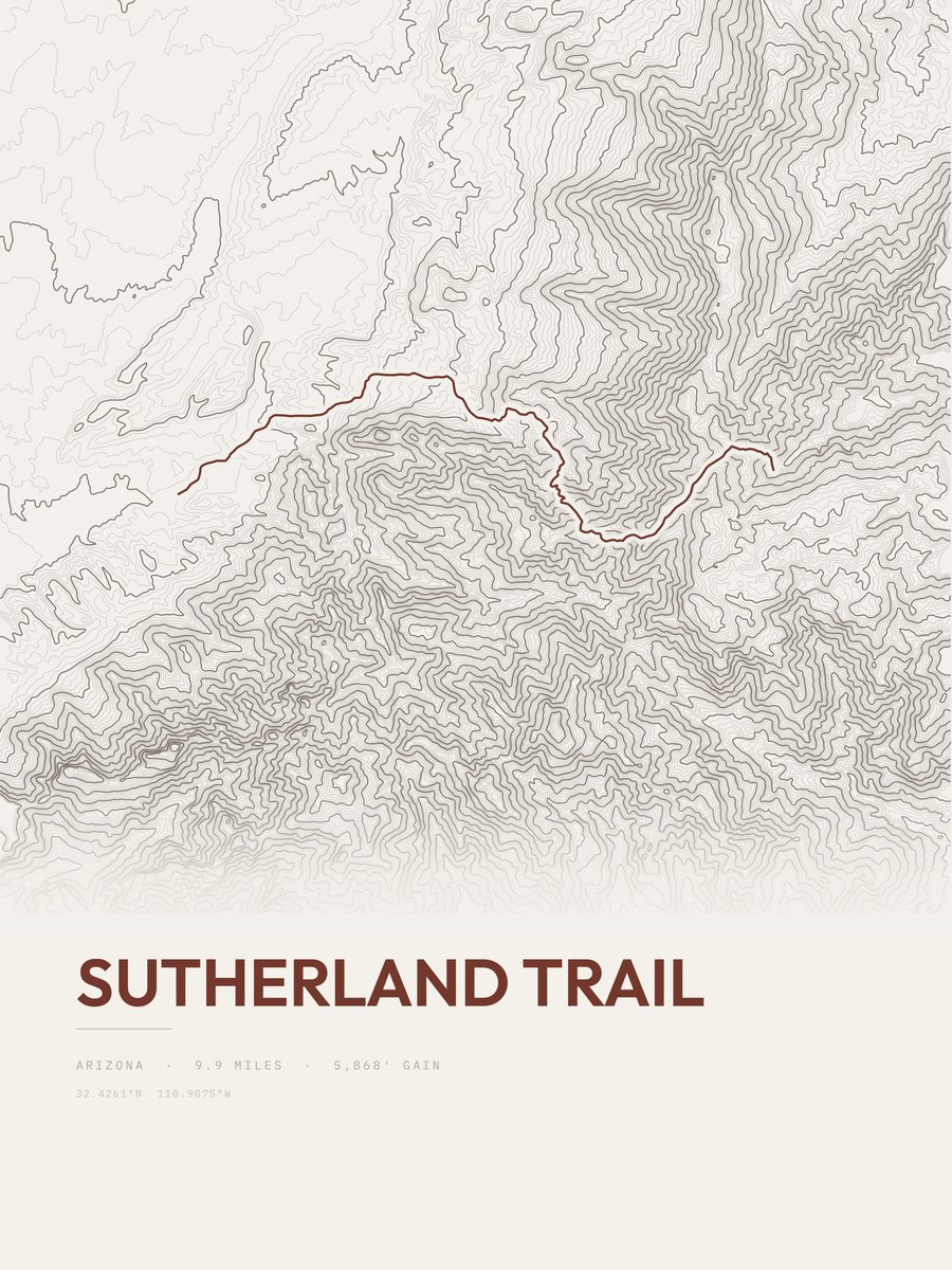
| 16 | Sutherland TrailSouthern Arizona and Tucson | 9.9 | 5,868 | 593 | 51% | 2,723 to 8,504 | 340.9 | |
| 17 | Village GreenwayGrand Canyon NP | 10.1 | 5,510 | 546 | 5,045 to 7,147 | 333.6 | ||
| 18 | Bright AngelGrand Canyon NP | 11 | 4,688 | 426 | 2,403 to 4,113 | 321.1 | ||
| 19 | Bridal PathGrand Canyon NP | 7.1 | 7,184 | 1,012 | 4,916 to 8,360 | 319.4 | ||
| 20 | Francois MatthesGrand Canyon NP | 11.5 | 4,311 | 375 | 5,663 to 8,483 | 314.9 | ||
| 21 | HermitGrand Canyon NP | 7.4 | 6,423 | 868 | 2,338 to 5,623 | 308.3 | ||
| 22 | Tanque Verde Ridge TrailSaguaro NP | 11 | 4,205 | 382 | 37% | 3,107 to 7,006 | 304.2 | |
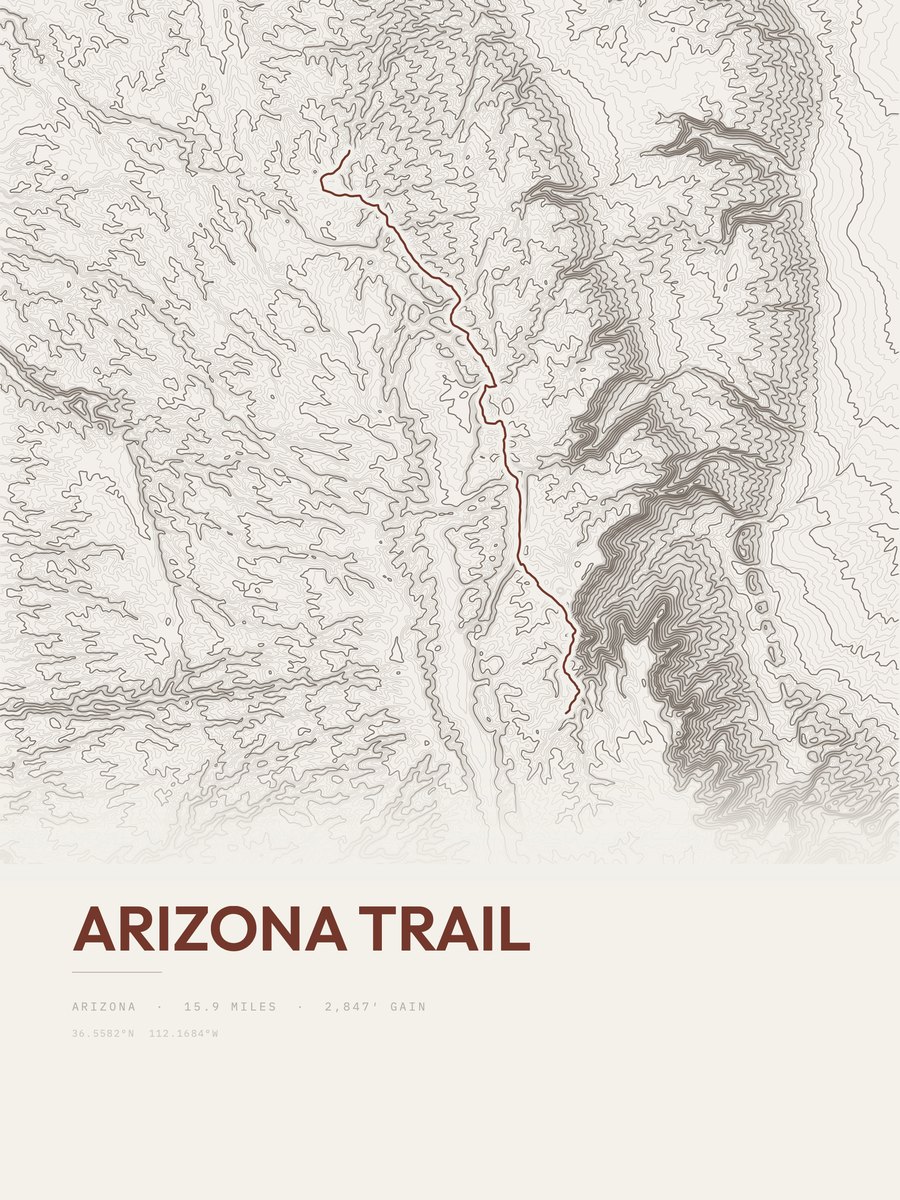
| 23 | Arizona Trail | 15.9 | 2,847 | 179 | 32% | 8,347 to 8,933 | 300.9 | |
| 24 | Havasu FallsFlagstaff and Northern AZ | 19.1 | 2,346 | 123 | 34% | 2,901 to 5,175 | 299.4 | |
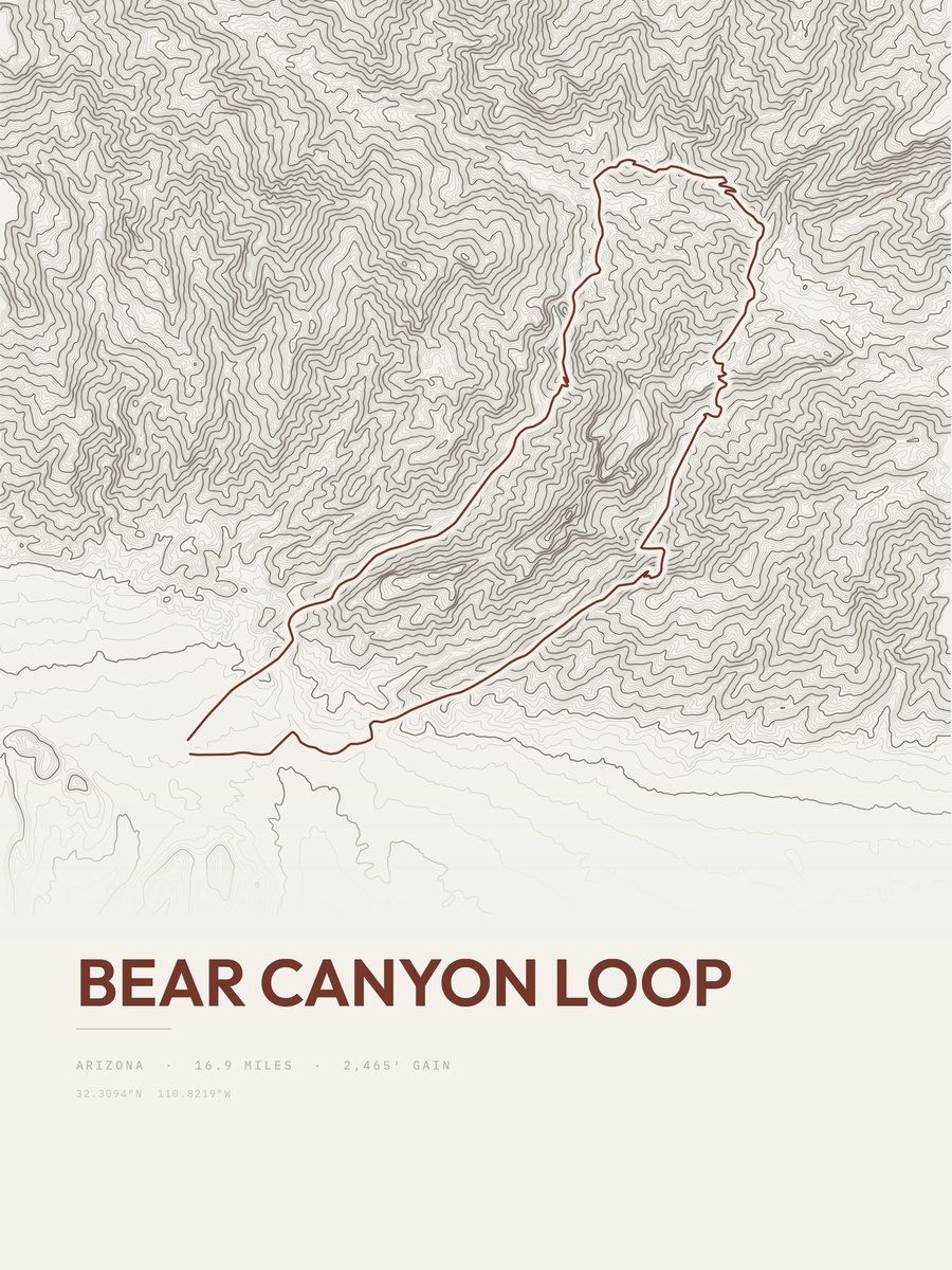
| 25 | Bear Canyon LoopSouthern Arizona and Tucson | 16.9 | 2,465 | 146 | 28% | 2,683 to 4,818 | 288.6 |









How this list is ranked
Rating = the square root of 2 x elevation gain (ft) x distance (miles), the gain-and-distance formula Shenandoah National Park publishes for its own trails. Bands: under 50 easiest, 50 to 100 moderate, 100 to 150 moderately strenuous, 150 to 200 strenuous, 200 and over very strenuous.
This list: band strenuous (150 to 200) or very strenuous (200 and over), 3 to 30 miles, at least 1,500 ft of gain, ordered by rating desc, gain per mile desc, capped at 25. The rating column is computed from the miles and gain printed in the same row, the numbers each trail page uses, so every row can be checked from the row itself. The rating says nothing about exposure, scrambling, altitude or conditions.
Only trails with a full page count, so "Arizona" here means the 323 trails in Arizona in our dataset, not every trail in Arizona.
Each trail page shows the full elevation profile behind these numbers and the same data drawn as a topographic print, made to order. Start with North Canyon.
Hardest hikes elsewhere.
The same ranking for other states in our dataset.