The hardest hikes in Montana, by the numbers
Of the 349 trails in Montana in our dataset, 106 (30 percent) rate strenuous or very strenuous on the gain-and-distance scale we use and run 3 to 30 miles with at least 1,500 ft of climb; these are the 25 with the highest rating.
Gunsight Pass leads with 17,163 ft of gain over 23.8 miles, 721 ft per mile, with a steepest pitch of 78 percent.
Across the 25, gain runs from 2,470 to 17,163 ft and distance from 8.2 miles to 23.9 miles; the median gain is 4,313 ft and the median distance 17.7 miles.
20 of the 25 are point-to-point routes; the rest are loop (3) or out-and-back (1).
| # | Trail | Miles | Gain (ft) | Ft per mile | Max grade | Elevation (ft) | Rating | Profile |
|---|---|---|---|---|---|---|---|---|
| 1 | Gunsight PassGlacier NP | 23.8 | 17,163 | 721 | 78% | 4,116 to 9,923 | 903.9 | |
| 2 | Nyack CreekGlacier NP | 20.5 | 14,162 | 691 | 100% | 3,283 to 8,349 | 762 | |
| 3 | Stoney Indian PassGlacier NP | 23.2 | 11,871 | 512 | 98% | 4,197 to 8,247 | 742.2 | |
| 4 | Bridger Ridge TraverseSouthwestern Montana | 18.7 | 6,840 | 366 | 57% | 4,995 to 9,592 | 505.8 | |
| 5 | Gunsight PassGlacier NP | 20.2 | 5,733 | 284 | 45% | 3,232 to 7,027 | 481.3 | |
| 6 | South BoundaryGlacier NP | 12.4 | 8,152 | 657 | 93% | 3,268 to 5,993 | 449.6 | |
| 7 | Gunsight Pass TrailGlacier NP | 19 | 5,079 | 267 | 47% | 3,237 to 7,022 | 439.3 | |
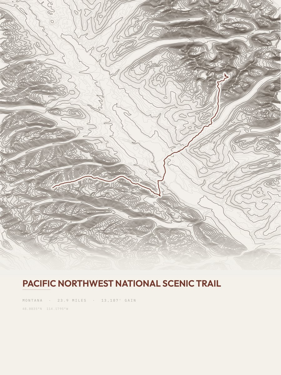
| 8 | Pacific Northwest TrailGlacier NP | 23.9 | 3,593 | 150 | 68% | 3,513 to 7,106 | 414.4 | |
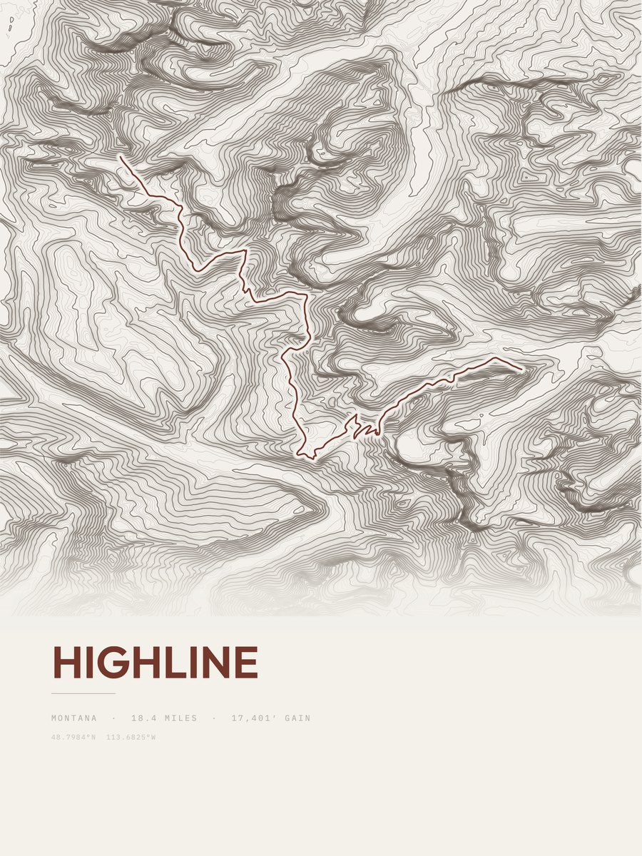
| 9 | HighlineGlacier NP | 18.4 | 4,617 | 251 | 4,929 to 7,692 | 412.2 | ||
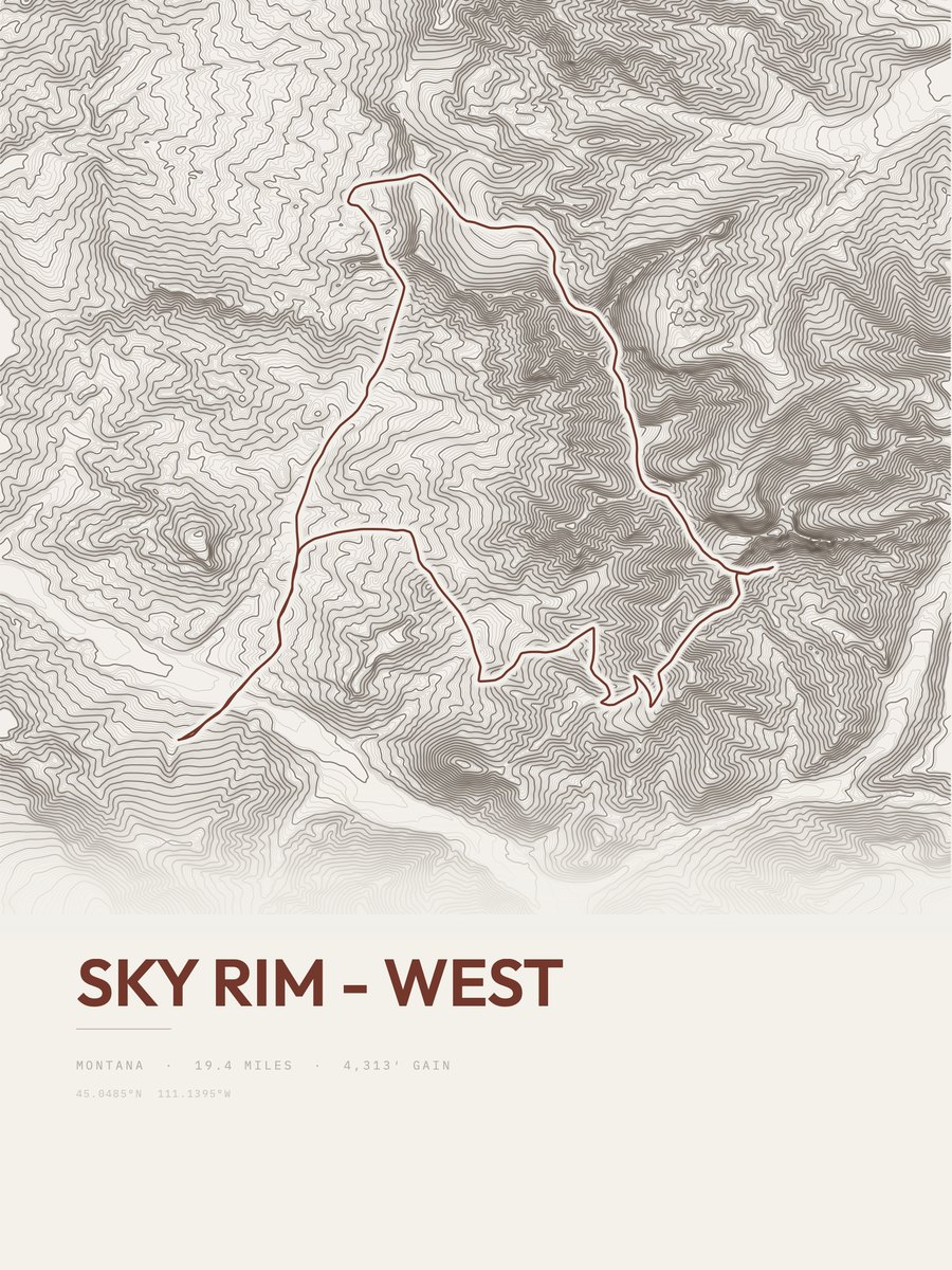
| 10 | Sky Rim - WestYellowstone NP | 19.4 | 4,313 | 222 | 51% | 6,750 to 9,906 | 409.1 | |
| 11 | Grant RidgeGlacier NP | 9.5 | 8,298 | 873 | 3,443 to 6,921 | 397.1 | ||
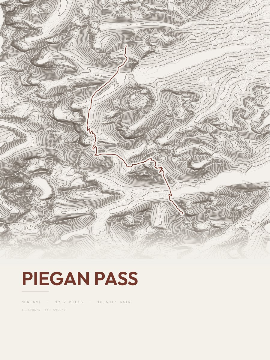
| 12 | Piegan PassGlacier NP | 17.7 | 3,936 | 222 | 4,679 to 8,116 | 373.3 | ||
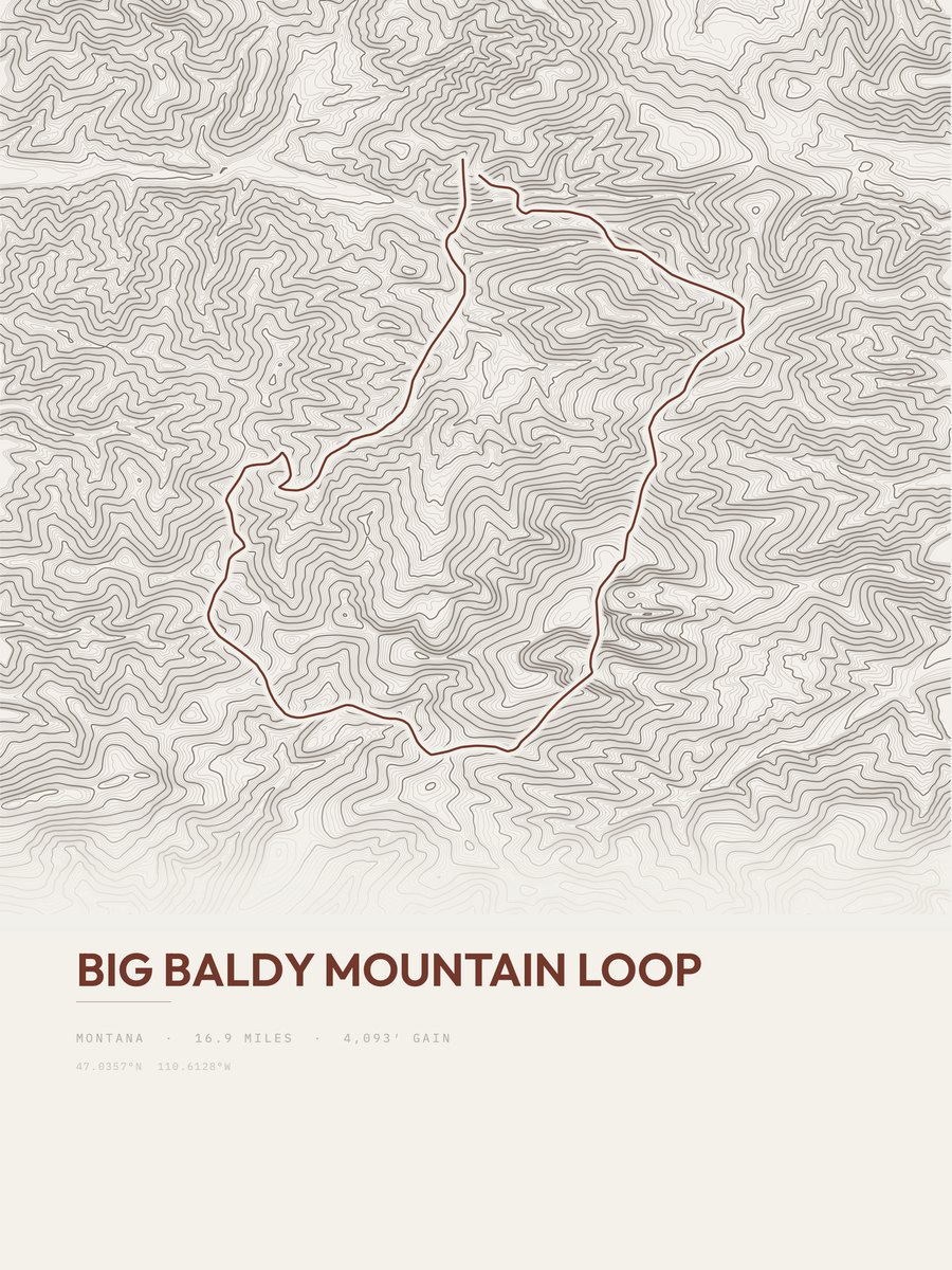
| 13 | Big Baldy Mountain LoopNorthwestern Montana | 16.9 | 4,093 | 242 | 42% | 5,716 to 9,155 | 371.9 | |
| 14 | Highline TrailGlacier NP | 19.9 | 3,408 | 171 | 34% | 5,849 to 7,402 | 368.3 | |
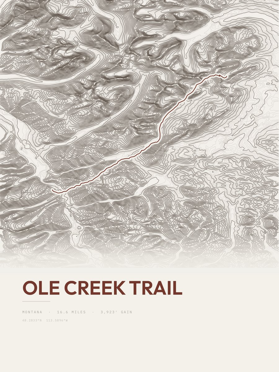
| 15 | Ole Creek TrailGlacier NP | 16.6 | 3,923 | 236 | 58% | 3,999 to 6,929 | 360.9 | |
| 16 | Boulder PassGlacier NP | 8.2 | 7,757 | 946 | 4,565 to 7,510 | 356.7 | ||
| 17 | Piegan Pass TrailGlacier NP | 17.7 | 3,506 | 198 | 36% | 4,536 to 7,573 | 352.3 | |
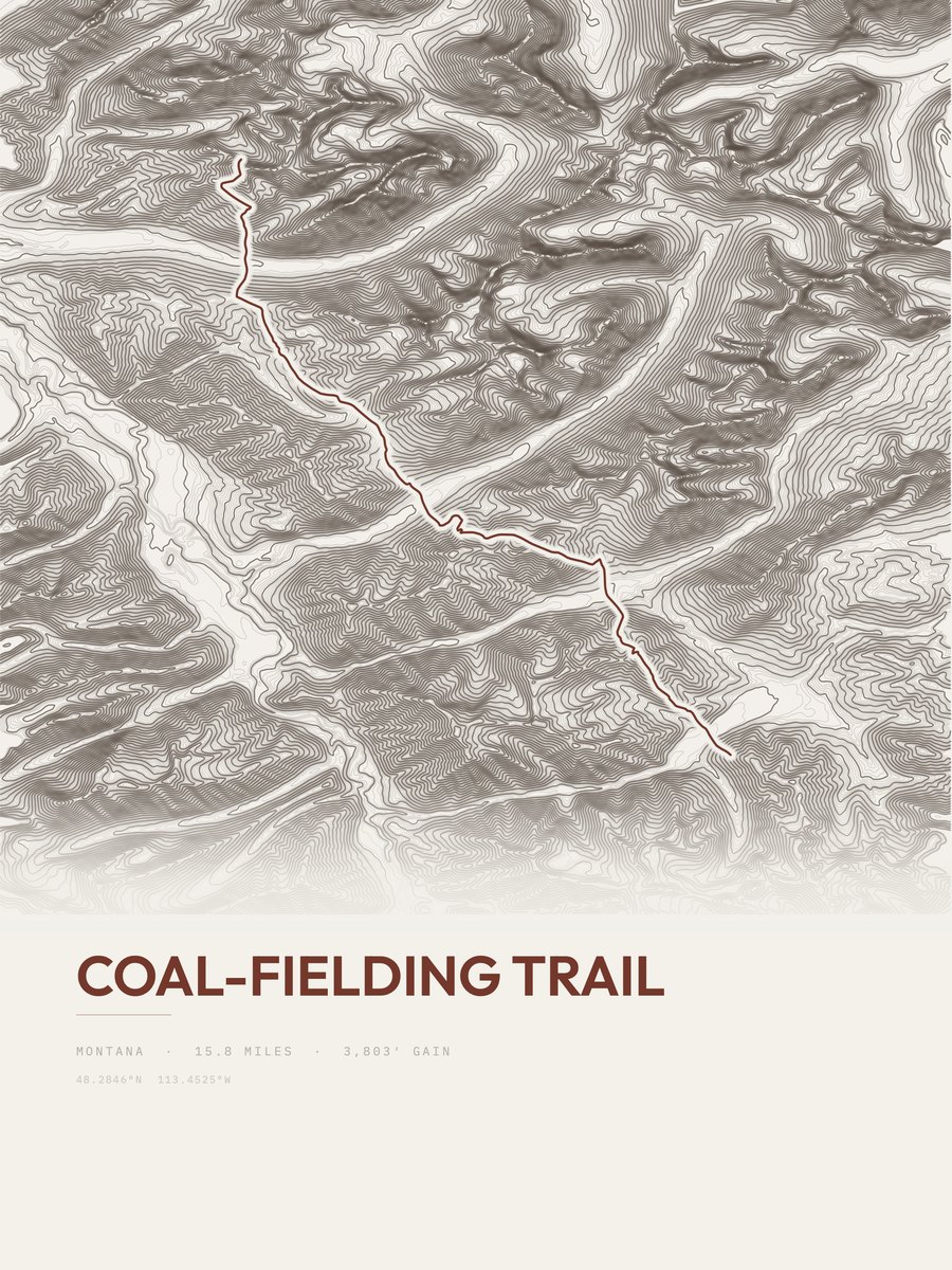
| 18 | Coal-Fielding TrailGlacier NP | 15.8 | 3,803 | 241 | 34% | 3,919 to 5,828 | 346.7 | |
| 19 | Pitamakan / Dawson LoopGlacier NP | 17.9 | 3,320 | 185 | 36% | 5,181 to 8,010 | 344.8 | |
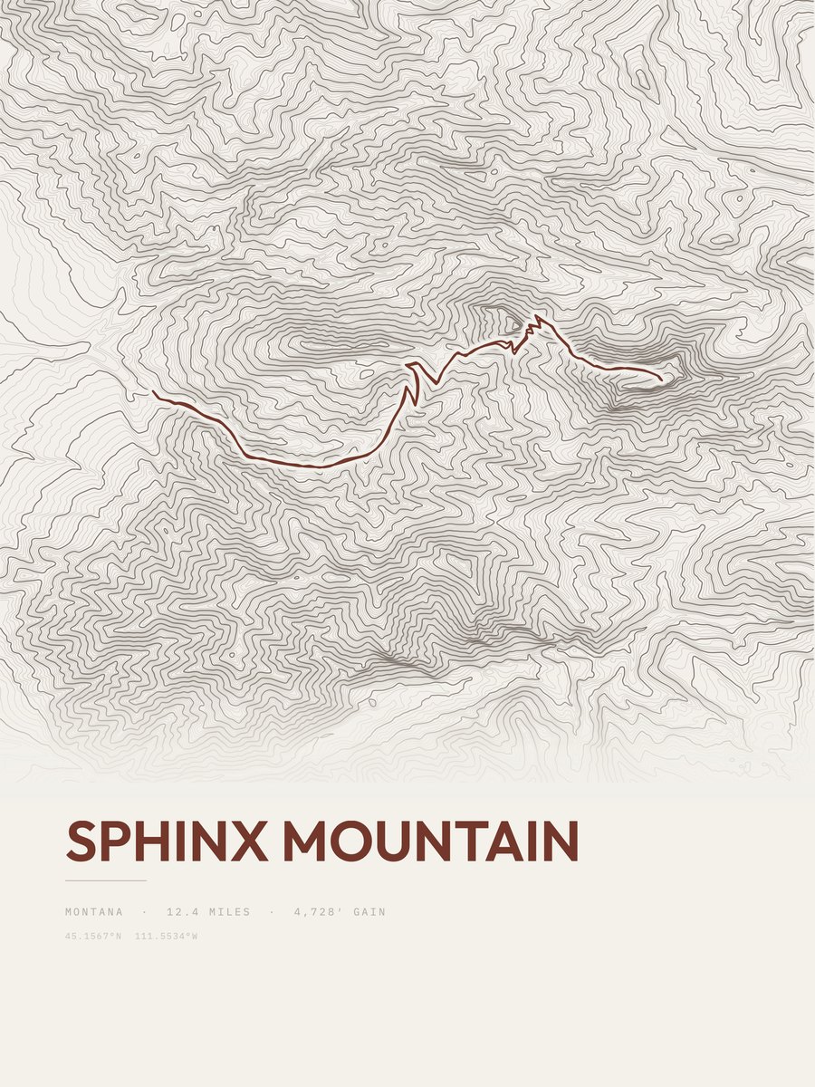
| 20 | Sphinx MountainSouthwestern Montana | 12.4 | 4,728 | 381 | 68% | 6,236 to 10,722 | 342.4 | |
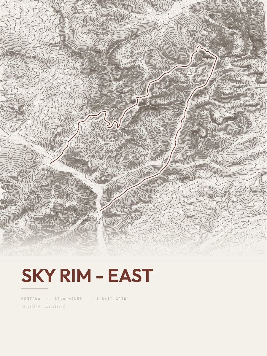
| 21 | Sky Rim - EastYellowstone NP | 17.6 | 3,261 | 185 | 64% | 6,837 to 9,907 | 338.8 | |
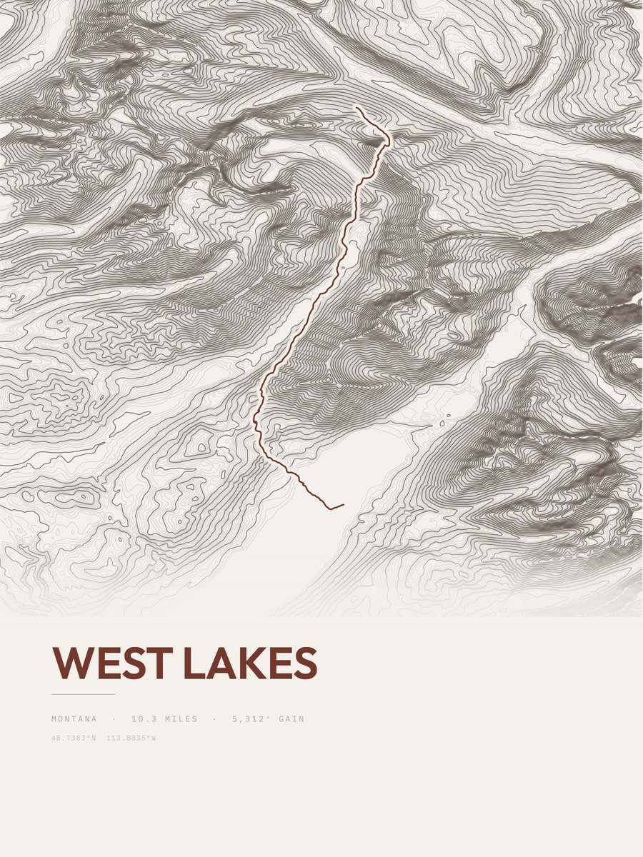
| 22 | West LakesGlacier NP | 10.3 | 5,312 | 516 | 3,153 to 7,175 | 330.8 | ||
| 23 | Red Gap PassGlacier NP | 15.1 | 3,522 | 233 | 35% | 4,914 to 7,520 | 326.1 | |
| 24 | Pitamakan Pass TrailGlacier NP | 17.7 | 2,870 | 162 | 26% | 5,170 to 7,625 | 318.7 | |
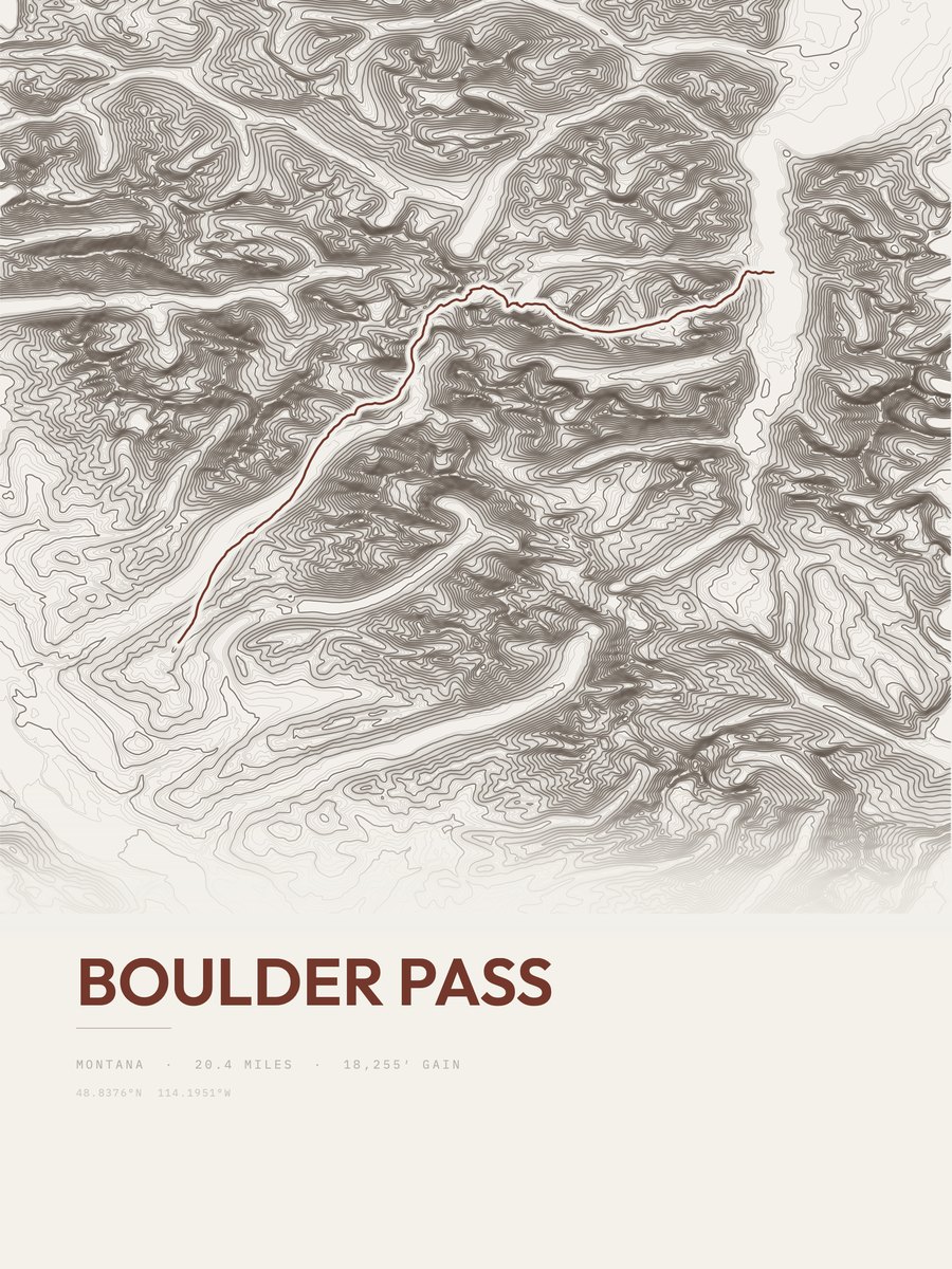
| 25 | Boulder PassGlacier NP | 20.4 | 2,470 | 121 | 4,032 to 6,276 | 317.5 |









How this list is ranked
Rating = the square root of 2 x elevation gain (ft) x distance (miles), the gain-and-distance formula Shenandoah National Park publishes for its own trails. Bands: under 50 easiest, 50 to 100 moderate, 100 to 150 moderately strenuous, 150 to 200 strenuous, 200 and over very strenuous.
This list: band strenuous (150 to 200) or very strenuous (200 and over), 3 to 30 miles, at least 1,500 ft of gain, ordered by rating desc, gain per mile desc, capped at 25. The rating column is computed from the miles and gain printed in the same row, the numbers each trail page uses, so every row can be checked from the row itself. The rating says nothing about exposure, scrambling, altitude or conditions.
Only trails with a full page count, so "Montana" here means the 349 trails in Montana in our dataset, not every trail in Montana.
Each trail page shows the full elevation profile behind these numbers and the same data drawn as a topographic print, made to order. Start with Gunsight Pass.
Hardest hikes elsewhere.
The same ranking for other states in our dataset.