The hardest hikes in New Hampshire, by the numbers
Of the 111 trails in New Hampshire in our dataset, 22 (20 percent) rate strenuous or very strenuous on the gain-and-distance scale we use and run 3 to 30 miles with at least 1,500 ft of climb; all 22 are listed here, highest rating first.
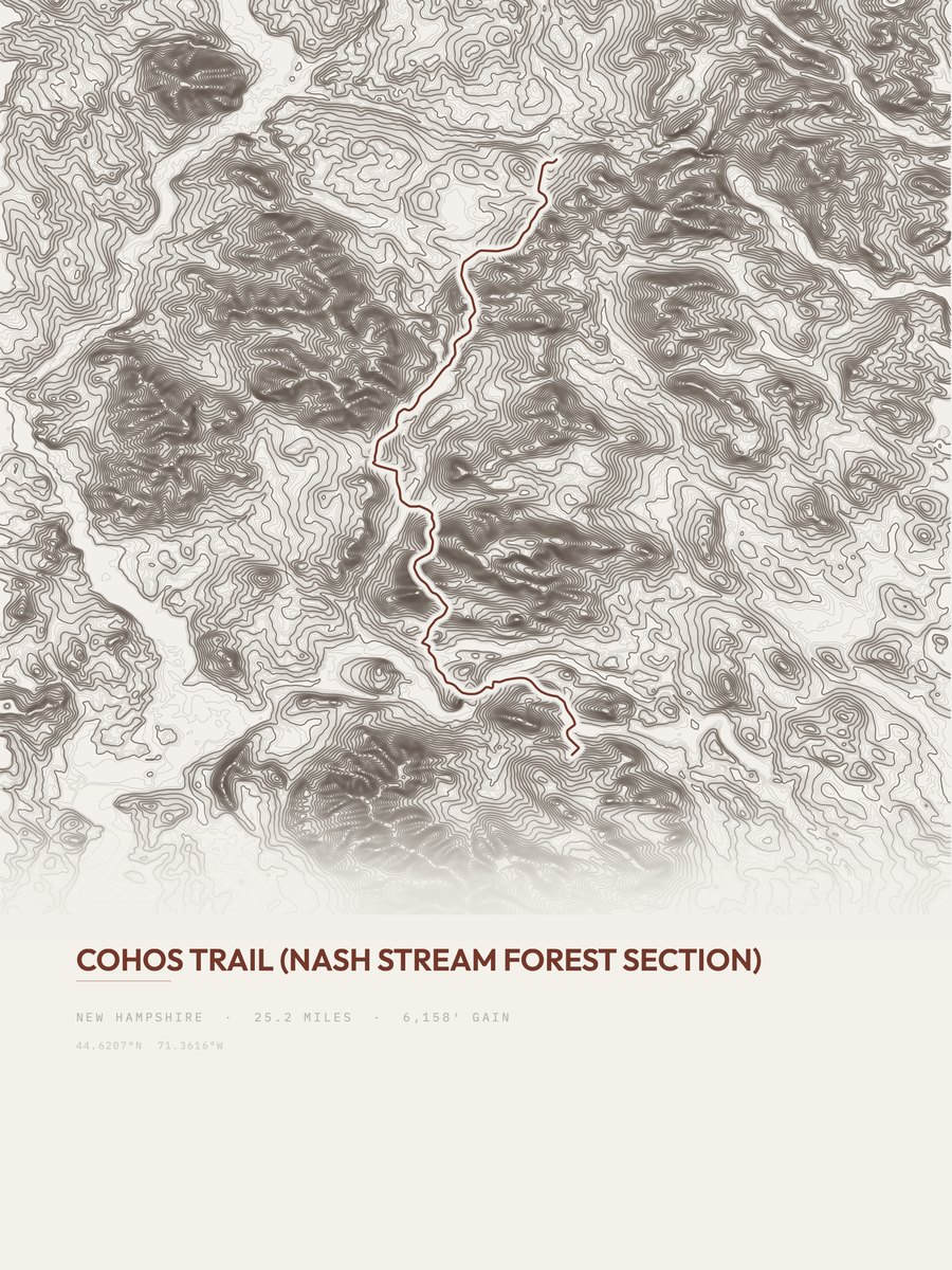
Cohos Trail leads with 6,158 ft of gain over 25.2 miles, 244 ft per mile, with a steepest pitch of 62 percent.
Across the 22, gain runs from 1,659 to 7,702 ft and distance from 3.8 miles to 25.2 miles; the median gain is 3,350 ft and the median distance 7.6 miles.
16 of the 22 are point-to-point routes; the rest are out-and-back (4) or loop (2).
| # | Trail | Miles | Gain (ft) | Ft per mile | Max grade | Elevation (ft) | Rating | Profile |
|---|---|---|---|---|---|---|---|---|
| 1 | Cohos Trail | 25.2 | 6,158 | 244 | 62% | 980 to 3,094 | 557.1 | |
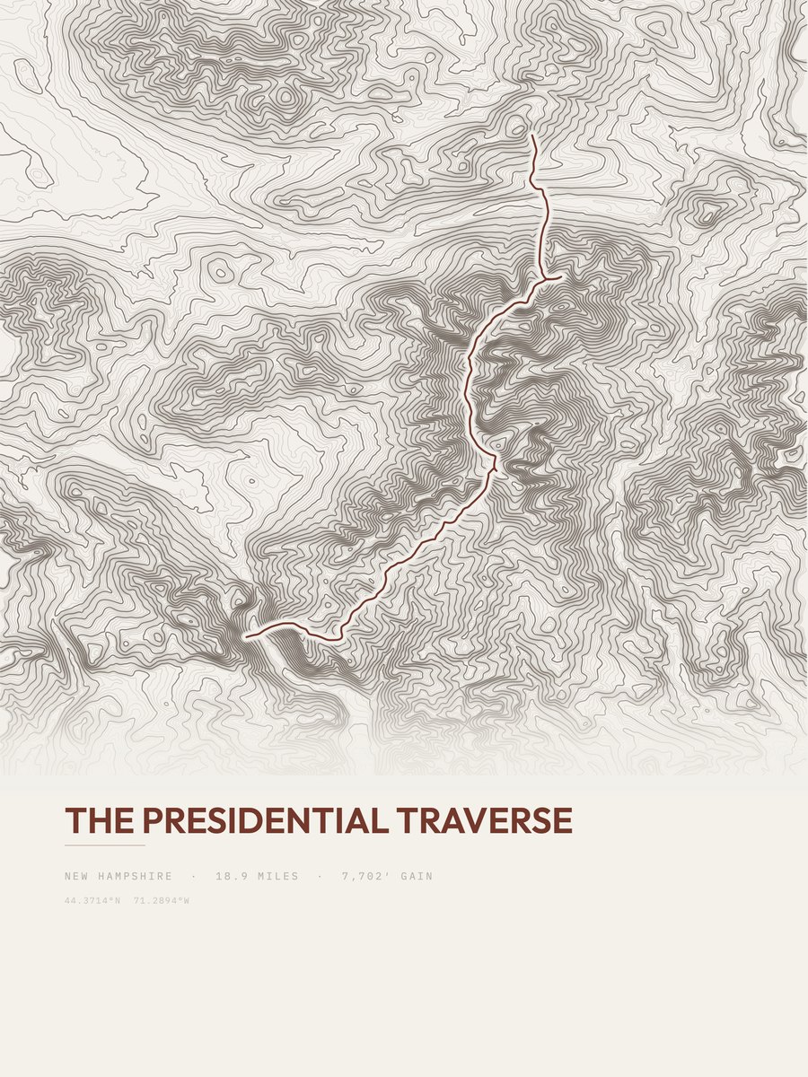
| 2 | The Presidential TraverseWhite Mountain Region | 18.9 | 7,702 | 408 | 35% | 1,411 to 6,231 | 539.6 | |
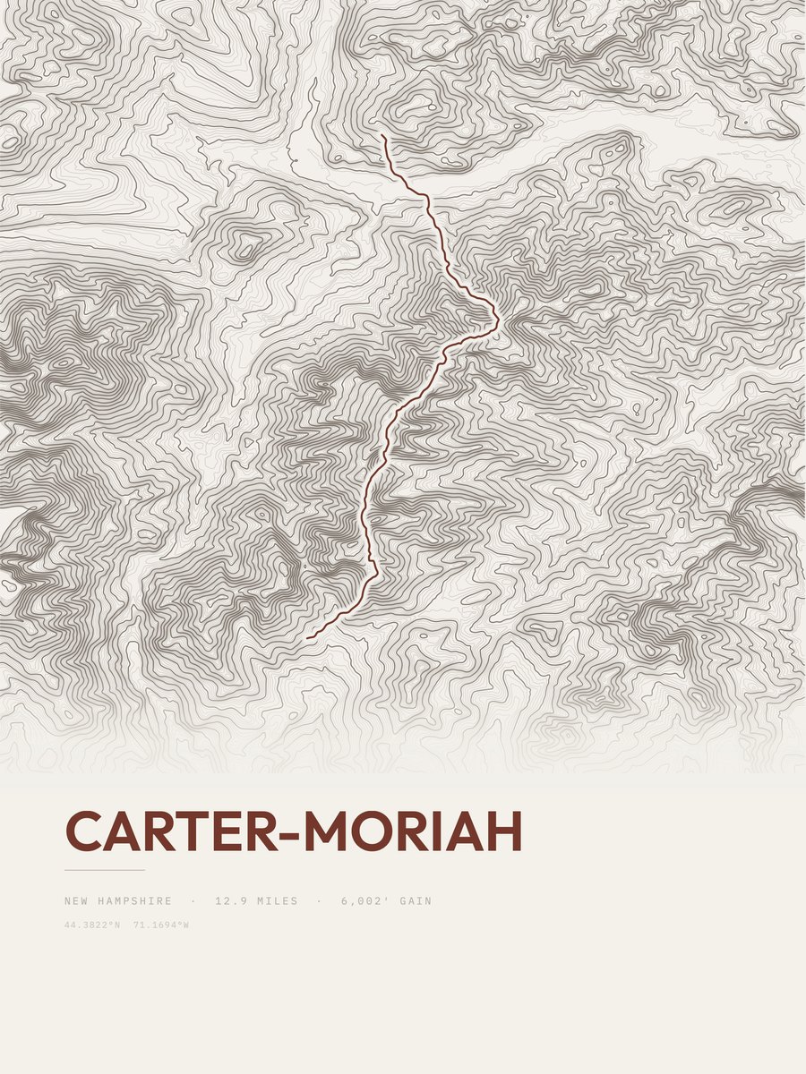
| 3 | Carter-MoriahWhite Mountain Region | 12.9 | 6,002 | 465 | 66% | 865 to 4,826 | 393.5 | |
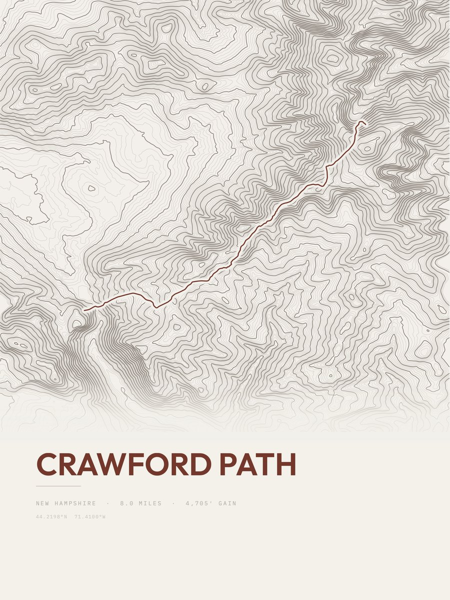
| 4 | Crawford PathWhite Mountain Region | 8 | 4,705 | 588 | 37% | 1,944 to 6,253 | 274.4 | |
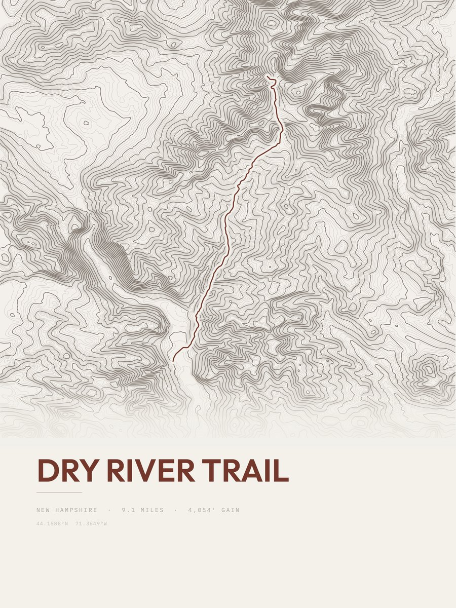
| 5 | Dry River TrailWhite Mountain Region | 9.1 | 4,054 | 445 | 40% | 1,229 to 5,168 | 271.6 | |
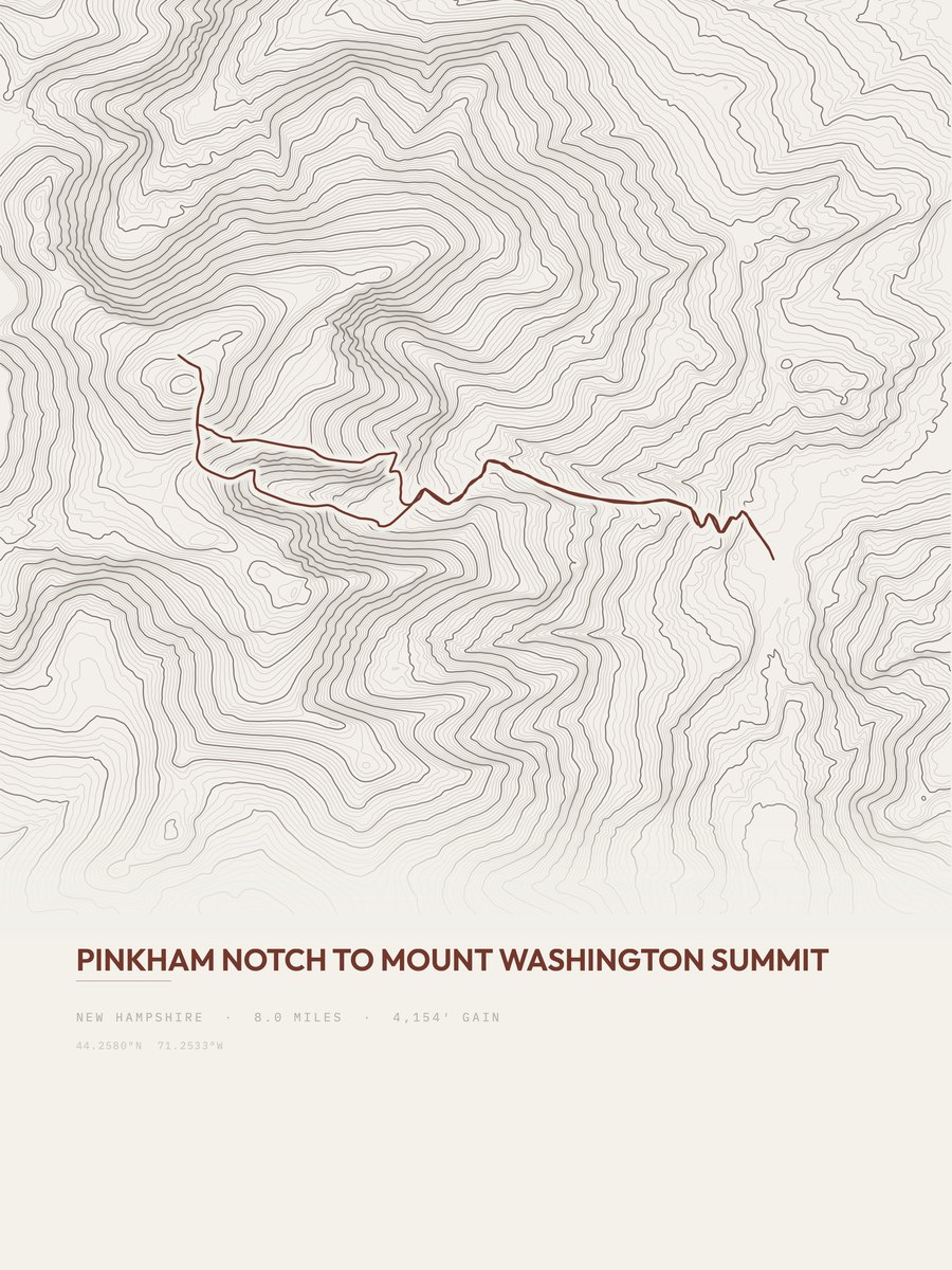
| 6 | Mount WashingtonWhite Mountain Region | 8 | 4,154 | 519 | 72% | 2,098 to 6,251 | 257.8 | |
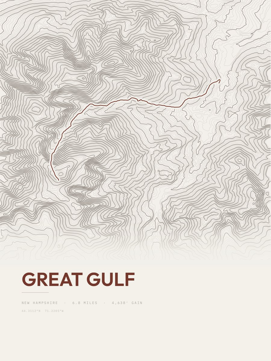
| 7 | Great GulfWhite Mountain Region | 6.8 | 4,638 | 682 | 71% | 1,357 to 5,935 | 251.2 | |
| 8 | Crawford Path | 5.9 | 5,062 | 858 | 81% | 1,846 to 4,548 | 244.4 | |
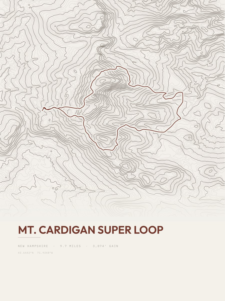
| 9 | Mount Cardigan Super LoopDartmouth - Lake Sunapee Region | 9.7 | 3,074 | 317 | 57% | 1,376 to 3,139 | 244.2 | |
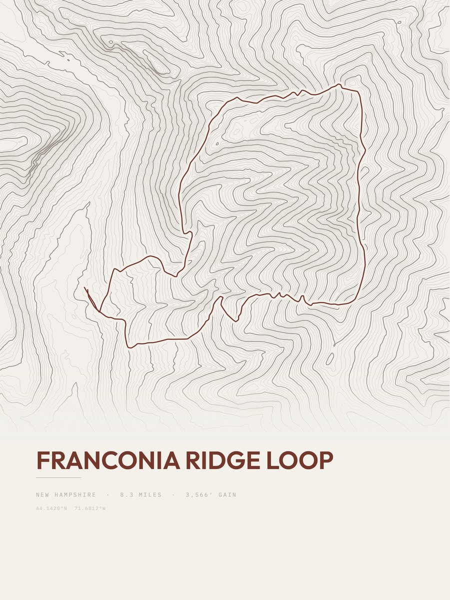
| 10 | Franconia Ridge LoopWhite Mountain Region | 8.3 | 3,566 | 430 | 78% | 1,824 to 5,208 | 243.3 | |
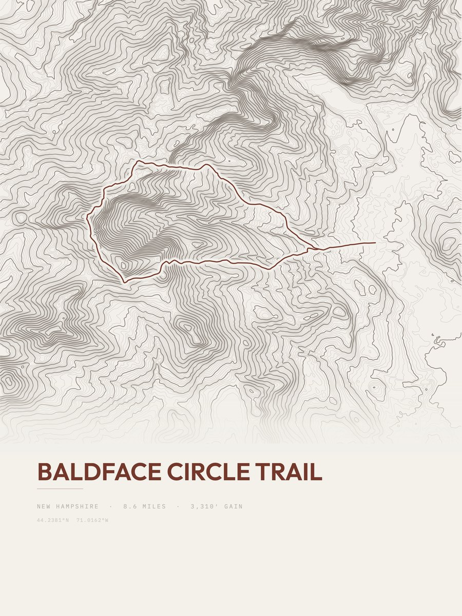
| 11 | Baldface Circle TrailWhite Mountain Region | 8.6 | 3,310 | 385 | 54% | 573 to 3,548 | 238.6 | |
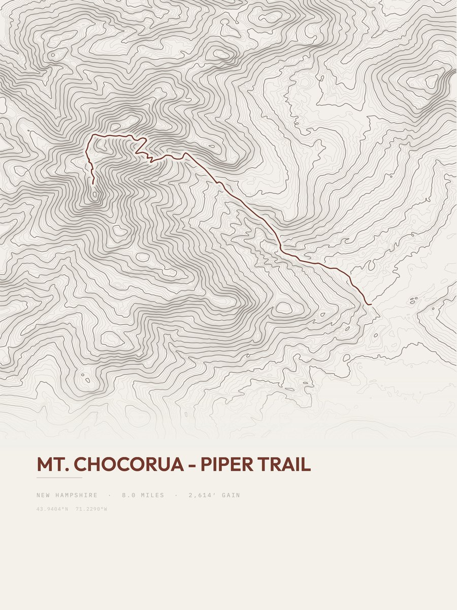
| 12 | Mount Chocorua - Piper TrailWhite Mountain Region | 8 | 2,614 | 327 | 30% | 815 to 3,430 | 204.5 | |
| 13 | Carr Mountain | 6.3 | 2,799 | 444 | 55% | 725 to 3,427 | 187.8 | |
| 14 | Crawford Path | 5 | 3,389 | 678 | 63% | 1,936 to 4,622 | 184.1 | |
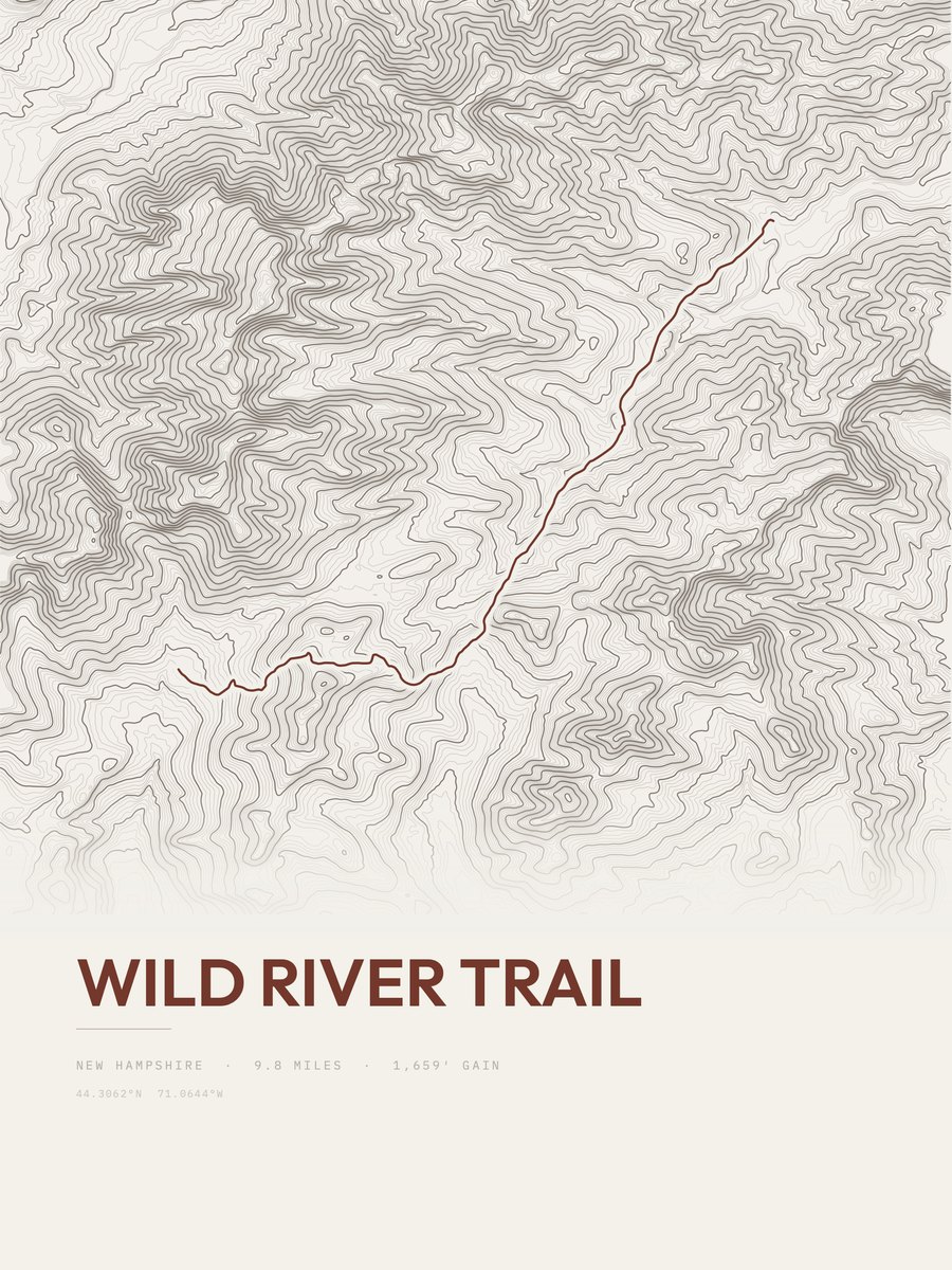
| 15 | Wild River TrailWhite Mountain Region | 9.8 | 1,659 | 169 | 24% | 1,157 to 2,663 | 180.3 | |
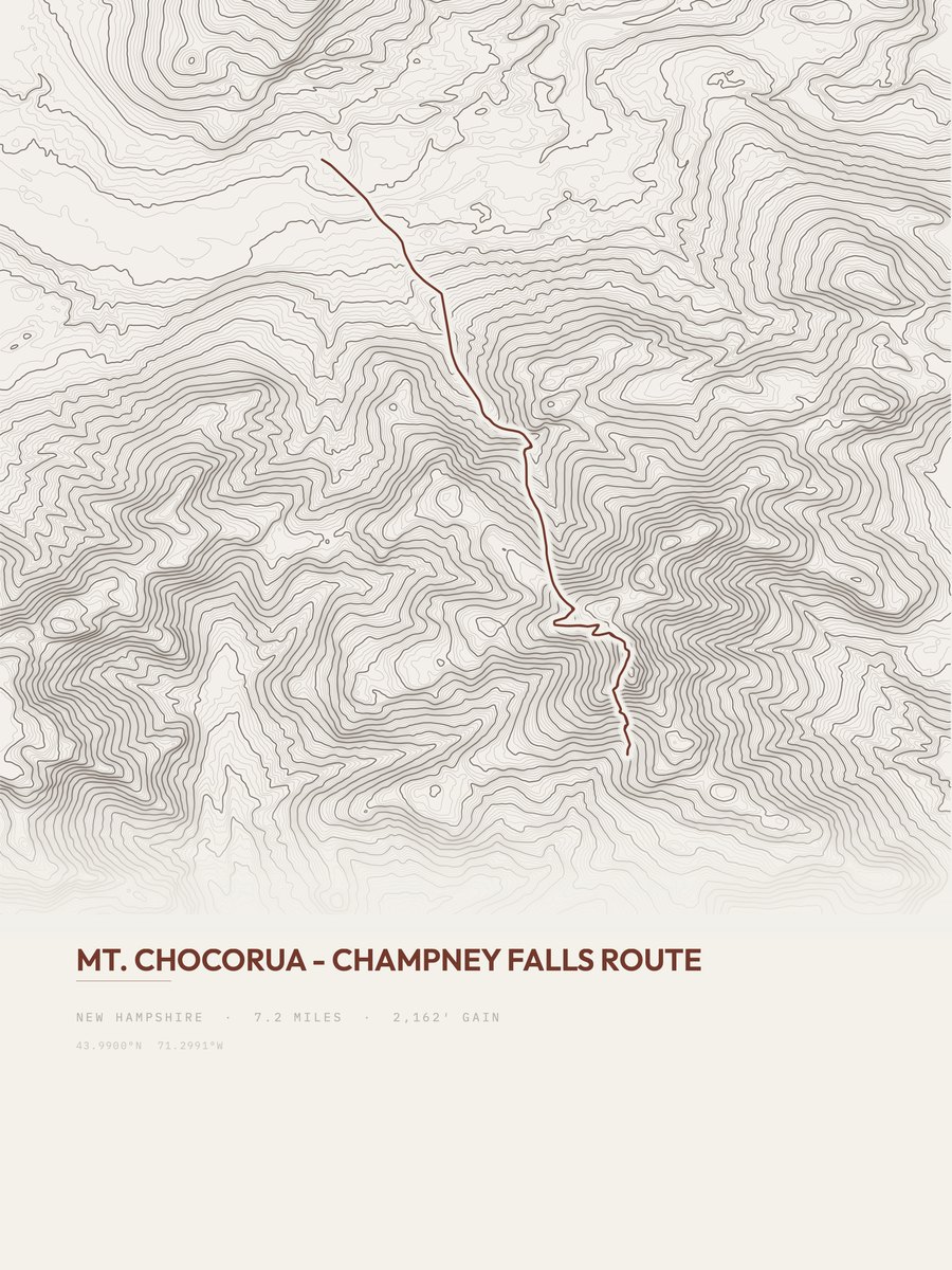
| 16 | Mount ChocoruaWhite Mountain Region | 7.2 | 2,162 | 300 | 37% | 1,295 to 3,442 | 176.4 | |
| 17 | Tuckerman RavineWhite Mountain Region | 3.8 | 4,079 | 1,073 | 65% | 2,092 to 6,171 | 176.1 | |
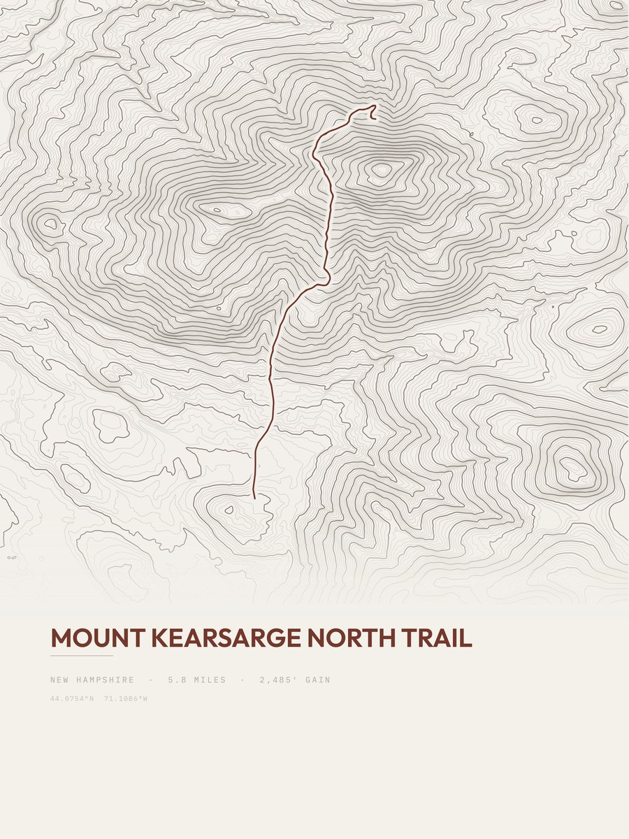
| 18 | Mount Kearsarge North TrailWhite Mountain Region | 5.8 | 2,485 | 428 | 40% | 734 to 3,221 | 169.8 | |
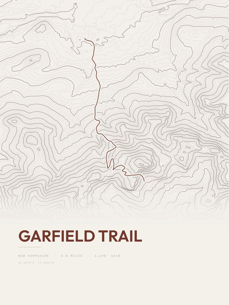
| 19 | Garfield TrailWhite Mountain Region | 4.8 | 2,690 | 560 | 29% | 1,578 to 4,256 | 160.7 | |
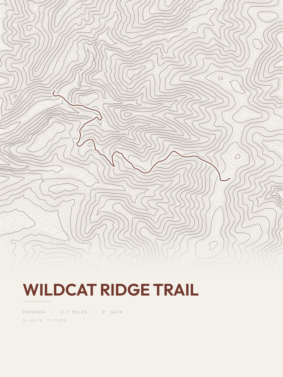
| 20 | Wildcat Ridge TrailWhite Mountain Region | 4.3 | 2,942 | 684 | 70% | 1,947 to 4,403 | 159.1 | |
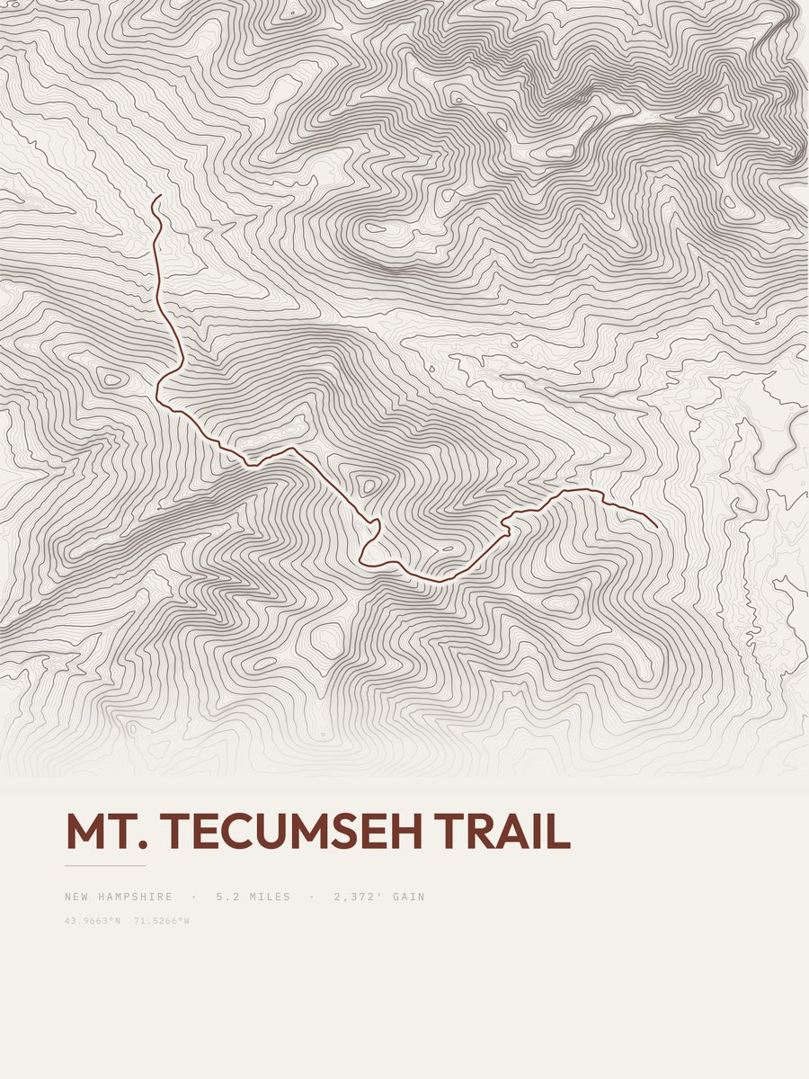
| 21 | Mount Tecumseh TrailWhite Mountain Region | 5.2 | 2,372 | 456 | 41% | 1,836 to 3,988 | 157.1 | |
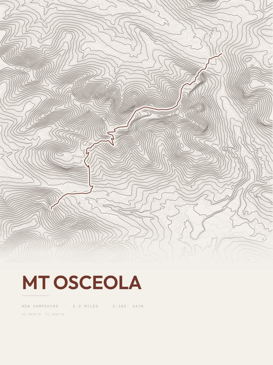
| 22 | Mount OsceolaWhite Mountain Region | 5.2 | 2,305 | 443 | 77% | 2,330 to 4,326 | 154.8 |




How this list is ranked
Rating = the square root of 2 x elevation gain (ft) x distance (miles), the gain-and-distance formula Shenandoah National Park publishes for its own trails. Bands: under 50 easiest, 50 to 100 moderate, 100 to 150 moderately strenuous, 150 to 200 strenuous, 200 and over very strenuous.
This list: band strenuous (150 to 200) or very strenuous (200 and over), 3 to 30 miles, at least 1,500 ft of gain, ordered by rating desc, gain per mile desc, capped at 25. The rating column is computed from the miles and gain printed in the same row, the numbers each trail page uses, so every row can be checked from the row itself. The rating says nothing about exposure, scrambling, altitude or conditions.
Only trails with a full page count, so "New Hampshire" here means the 111 trails in New Hampshire in our dataset, not every trail in New Hampshire.
Each trail page shows the full elevation profile behind these numbers and the same data drawn as a topographic print, made to order. Start with Cohos Trail.
Hardest hikes elsewhere.
The same ranking for other states in our dataset.